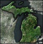
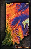
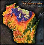
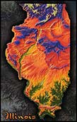
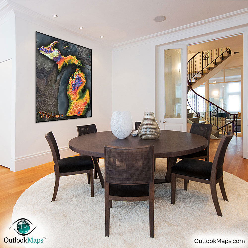
Michigan Topographic Features Wall Map


(Click images to see full-size)
Note: To keep an uncluttered and artistic style of Michigan's landscape, minimal text labels are included.

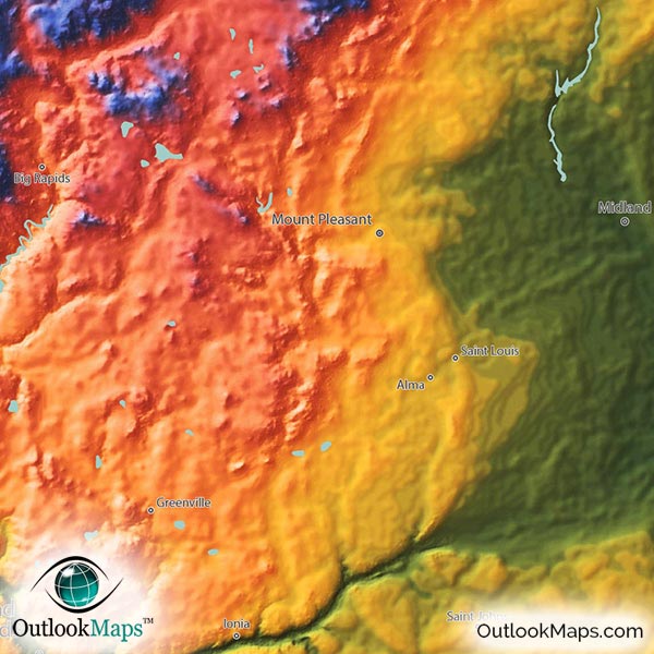
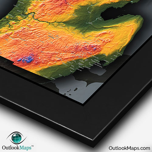
Michigan's lowest areas are shown in green. Obviously, the lowest elevation lands in Michigan all are near the coasts of the great lakes. Bay City and Saginaw sit in a large low-lying area, as does the Detroit metro area.
Medium level elevation is colored with warm colors: golden yellow, orange, and reds. These mid-elevation lands can be found throughout Michigan: Much of the southern half of the lower peninsula, and the eastern half of the upper peninsula.
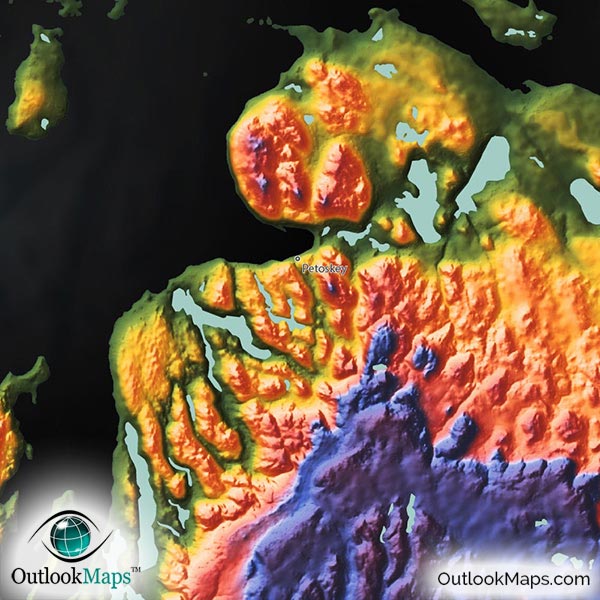
As land gains elevation, colors change to blue and purple, and ultimately white for the highest points. There are some high points in the north central lower peninsula (near Cadillac, MI), but most of the states highest elevation is found in the western half of the upper peninsula, in the Porcupine Mountains, which include Michigan's highest point, Mt. Arvon at an elevation of 1,979 feet / 603 meters.
Learn how this Michigan topographic image was created with digital elevation data.
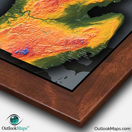
Many of Michigan's natural features can be seen in the map. Obviously the four great lakes that surround Michigan are visible (Superior, Huron, Michigan, and Erie).
The land formations within the state are also visible and interesting to view. The various ridges and hills, especially in the UP, really stand out in the map. River valleys are also clear to see, especially the river valleys from the Grand River and the Manistee River.
Michigan's many lakes are also included in the map, including (but not limited to): Lake St. Clair, Houghton Lake, Higgins Lake, Hubbard Lake, Fletcher Pond, Burt Lake, Mullett Lake, Black Lake, Walloon Lake, Lake Charlevoix, Crystal Lake, Manistique Lake, Indian Lake, and many more.
103 Michigan cities and towns are labeled.
Major cities like Detroit, Lansing, Grand Rapids, Ann Arbor, Flint, Kalamazoo, Midland, Warren, Livonia, and Jackson are all shown.
Some of the medium and smaller towns on the map include Marquette, Mount Clemens, Escanaba, Big Rapids, Cadillac, Lapeer, Hillsdale, Saint Johns, Hastings, Petoskey, Southfield, Saint Clair Shores, Novi, East Lansing, Holland, Forest Hills, Waverly, Okemos, Allendale, New Baltimore, Sturgis, Marysville, Saline, Tecumseh, Flushing, Saint Louis, Dowagiac, Ironwood, as well as many others.
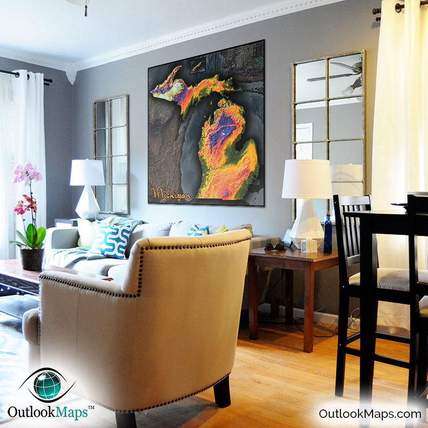
We can say this with a fair level of confidence: You've never seen any map of Michigan quite like this! The way the colors and shading accentuate Michigan's many interesting landforms and elevation changes is simply unparalleled.
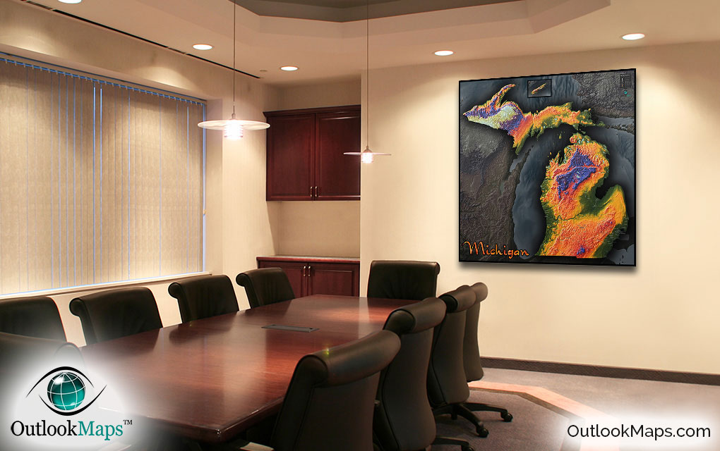
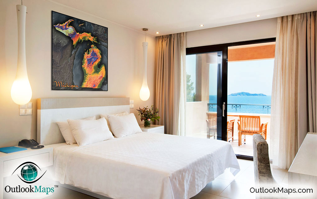
Not only will this map serve as a useful Michigan reference map, it will provide a piece of art sure to jazz up any room. It will look great in your home, an office, and especially in a school classroom to get kids excited about Michigan geography.
Wherever it's placed, we can guarantee that the map will make an eye-catching work of art and garner attention and curiosity from any and all viewers.