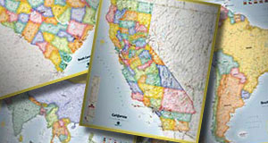
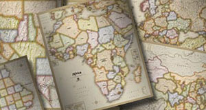
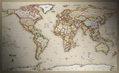
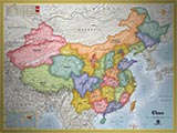
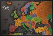
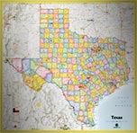
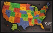
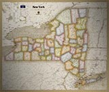
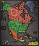
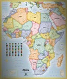
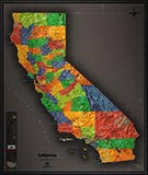
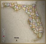
Political Maps
Political maps highlight administrative regions, such as countries, states, or counties. They are also highly detailed maps with many labels of administrative capitals, towns and cities, roads, highways, rivers, and physical information.
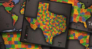
Our Styles of Political Map
We offer three styles of political maps. To see all of our complete list of political map offerings, please specify the style of political map below: