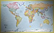
Standard Political Maps
Political Maps help you stay in touch with the world, and look great too!
Our standard political options are beautiful and classic maps and loaded with current information!
Political maps focus on man-made aspects of geography, including government and administrative regions and capitals, towns and cities, roads, points of interest and more. Our political maps also include physical information like rivers, lakes, mountains and more. Each map will contain thousands of useful labels!
The style of our standard political maps uses classic bright colors and attractive shading of boundaries - these maps look great when displayed in any room: Home, Office, Business, or Classroom.
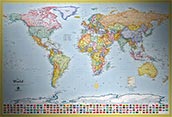
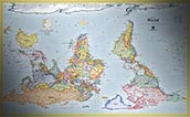
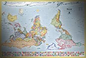
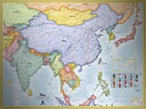
World Political Maps
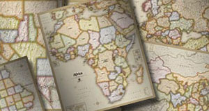
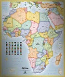
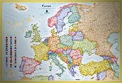
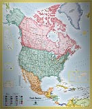
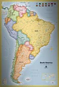
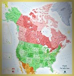
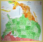
Continent Political Maps
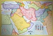
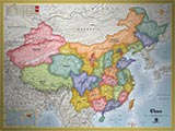
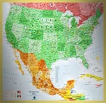
Country Political Maps
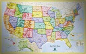
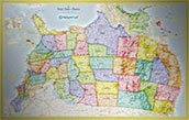
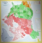
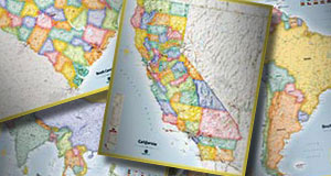
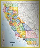
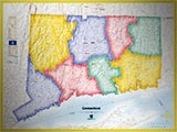
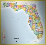
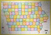
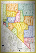
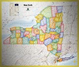
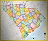
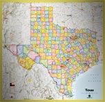
State Political Maps
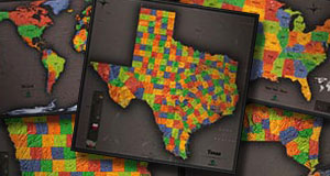
Other Political Map Options
You may also be interested to check out these other stylish political maps styles: