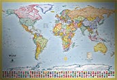
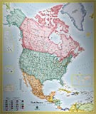
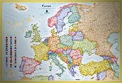
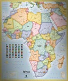
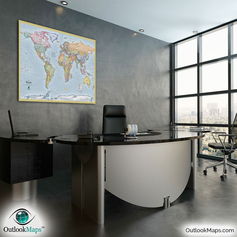
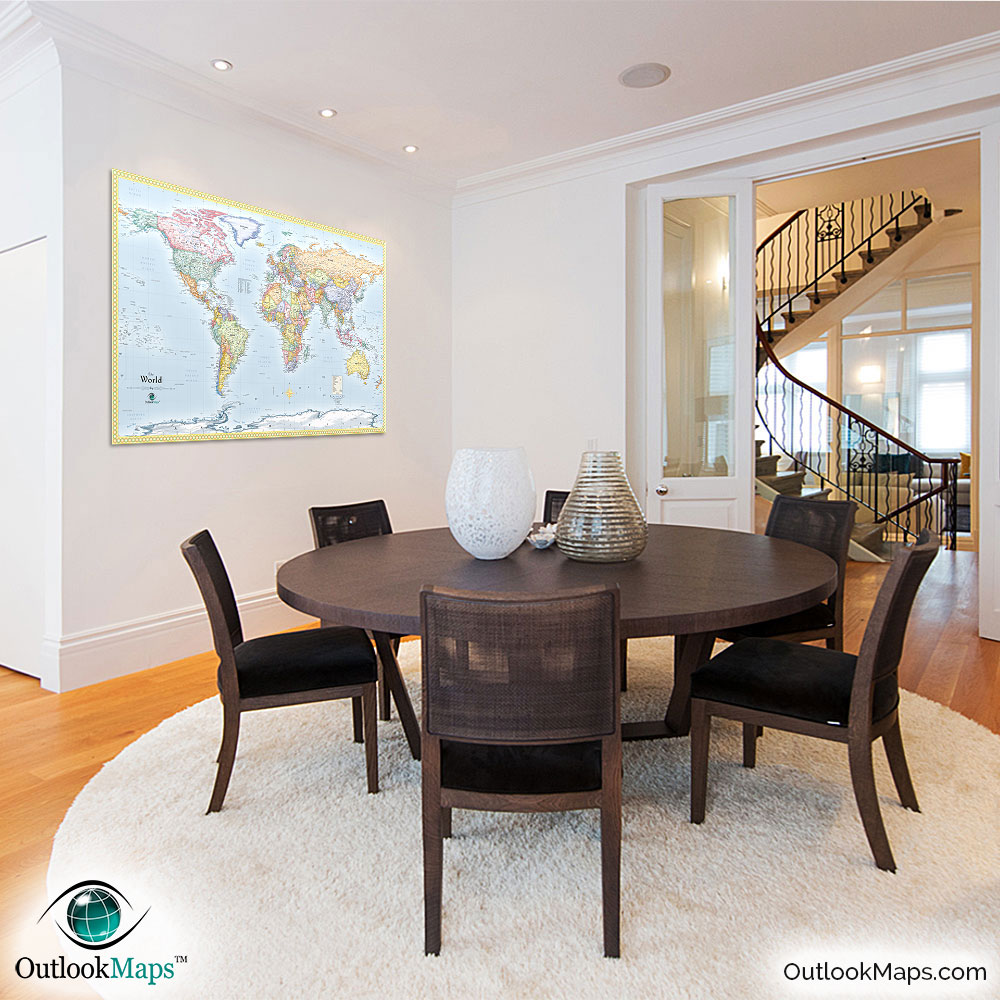
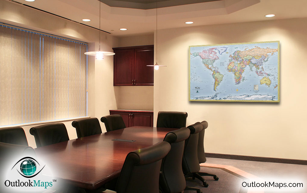
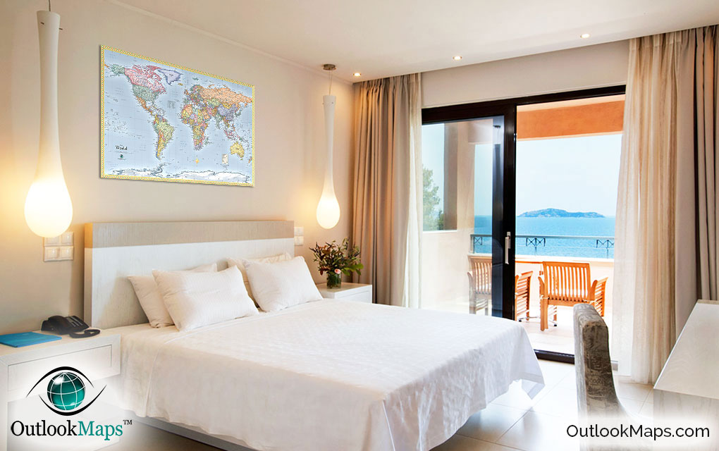
Standard Political World Wall Map

(Click images to see full-size)
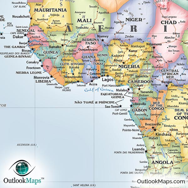
This map was specifically designed to include loads of useful information, while maintaining clean appearance easy to read.
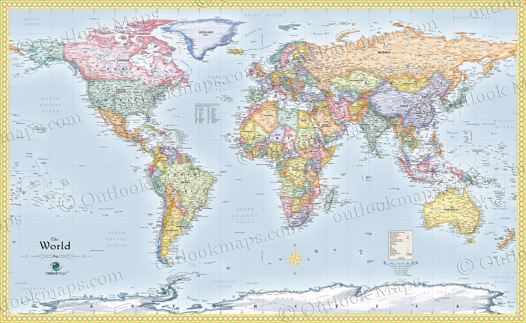
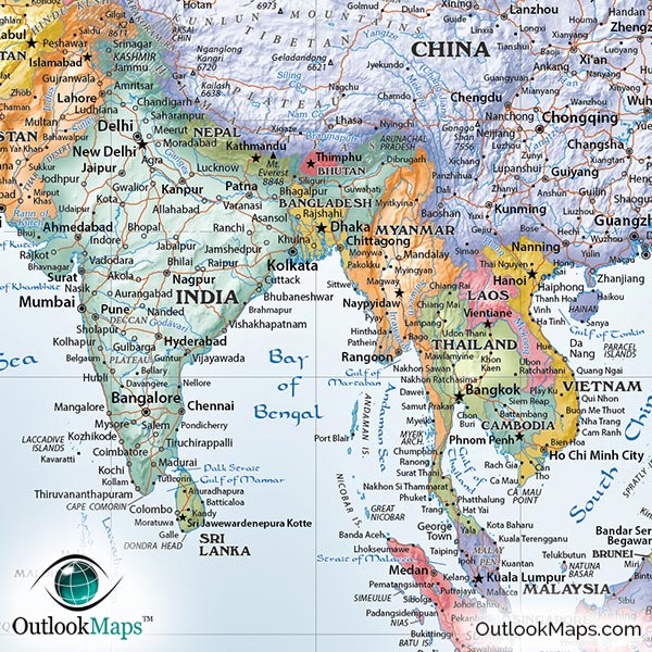
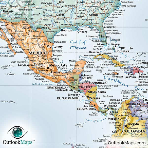
This world map is beautifully designed to look great when on display. The colors chosen for the countries provide a bright and fresh appearance. The palette of colors include red, orange, yellow, teal green, lime green, and a purplish blue. These colors go together perfectly to look attractive but not overwhelming.
Other stylistic elements of the map include the color shading of boundaries which accentuates the shapes of countries, the clean and subtle border of the map, and the subtle gradients of the oceans - lighter colors near the shore and a deeper blue in the ocean's center.
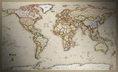
The final touch to make this map look sensational is the three-dimensional shading of mountains (known to cartographers as "shaded relief"). This shading helps to clearly identify the world's many mountain ranges. Even subtle elevation contours can be seen in the map, giving the surface a life-like representation of terrain. The shaded relief was entirely produced digitally with actual elevation data, so the shaded relief is perfectly accurate...and breathtakingly beautiful.
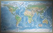
Not only is the map a beautiful piece to display, you'll find that it is extremely useful as well. Thousands of places are labeled, and specific care was taken to ensure that the most prominent cities, islands, and natural features are all included and easy to find.
Within no time, you'll be a geography buff, quickly recalling world places like the Azores Islands, Chukchi Peninsula, Rio de la Plata, and the Laccadive Sea.
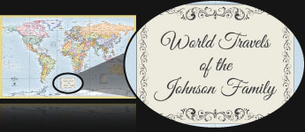
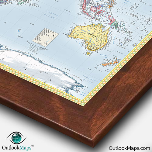
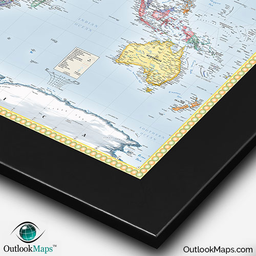
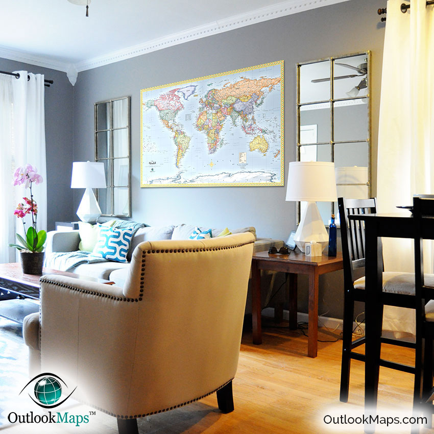
The map also makes an excellent way to not only plan world travel but keep a record of the places you've been. A mounted map (framed or unframed) will allow you to use push pins to mark places.
You won't likely find a map that offers the combination of stylish beauty, functionality, and accuracy. Furthermore, the map is completely up-to-date, even including the recent addition of South Sudan.
Whether for home décor, a child's education, or reference in an office or business, this world political map is a perfect map for your world mapping needs.