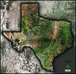
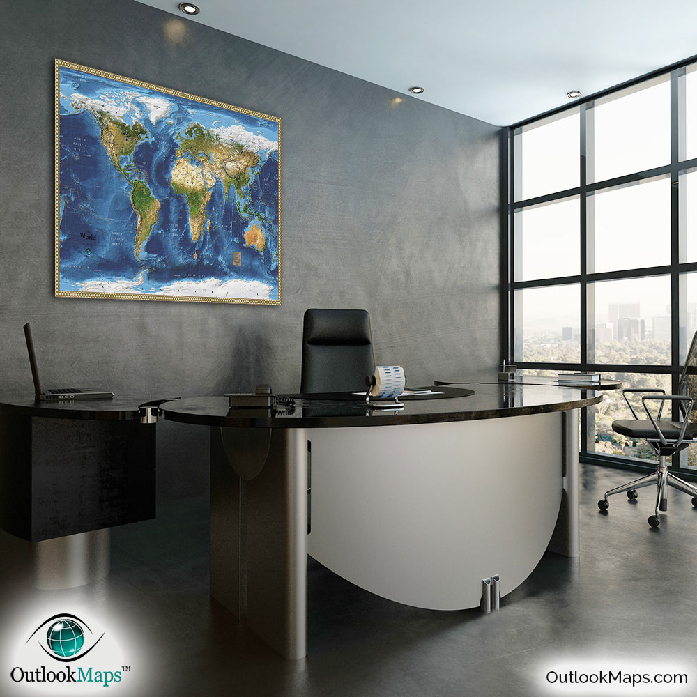
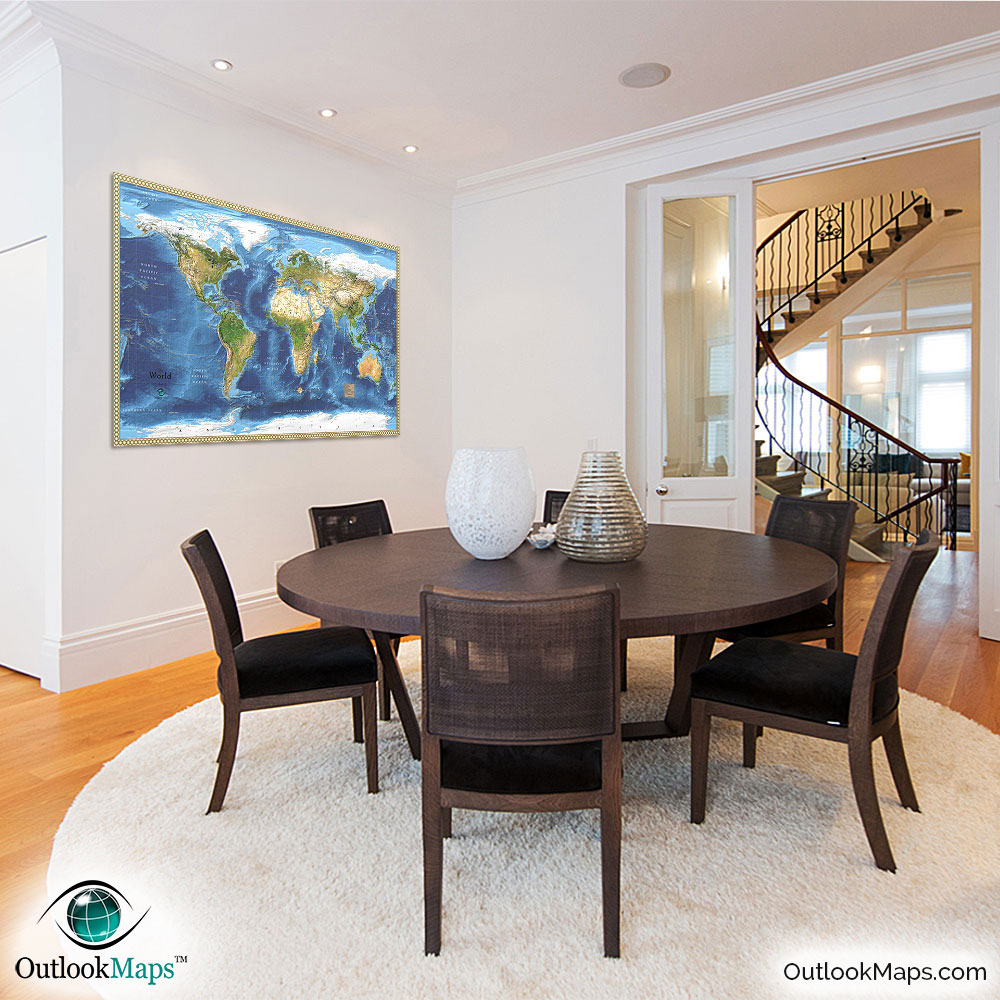
World Satellite Image Wall Map


(Click images to see full-size)
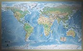
This satellite world map uses the most current and accurate data sources. The map serves as both an interesting map to display and also a useful reference map.

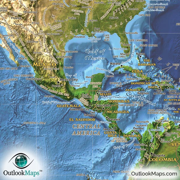
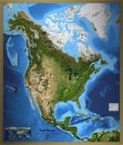
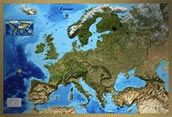
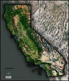
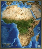
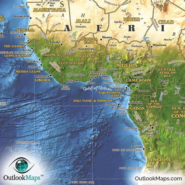
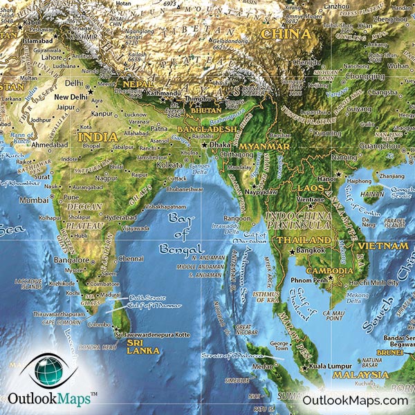
This map is composed from NASA Satellite images acquired as part of the Blue Marble satellite program. The images were taken at monthly intervals, and this particular map uses October set, which yields fascinating contrast between the snowy northern areas and the lush greens near the tropics.
The satellite imagery is very high-detailed, with a base resolution of each pixel representing 500 meters. This scale is excellent for maps of global and continental coverage.
The colors of the satellite image are true color, which means they are the actual colors seen from outer space.
In the image, you'll clearly see details like mountain ranges, lakes, rivers, as well as very large urban areas. The different environmental regions of the map are also very distinct: deserts, grasslands, farm lands, forests, glaciers, and more.
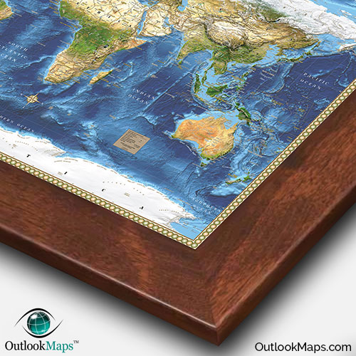
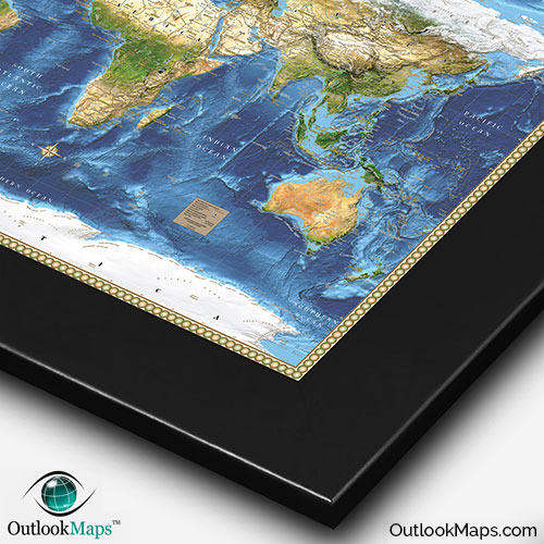
Oceans in the map are shown in a Bathymetry style, which shows the contours of the ocean floor and gives an indication of the relative ocean depths by adjusting the darkness of the blue color.
The major enhancement that Outlook Maps makes to the NASA satellite images is combining three dimensional terrain shading.
This 3D shading helps to see depth in the terrain. Mountains appear to jump off the page, and you can easily see plateaus, valleys, and even river drainage.
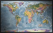
In addition to offering a fascinating satellite view of earth, the map also serves as a fully functional reference map.
The map includes loads of labels and information, from political information like country borders and names and names of cities to physical information like the locations of mountain peaks and other physical landforms.
Despite all the geographic details offered by the map, care was taken to ensuring the map still remains uncluttered and easy to read and appreciate the natural beauty of the planet.
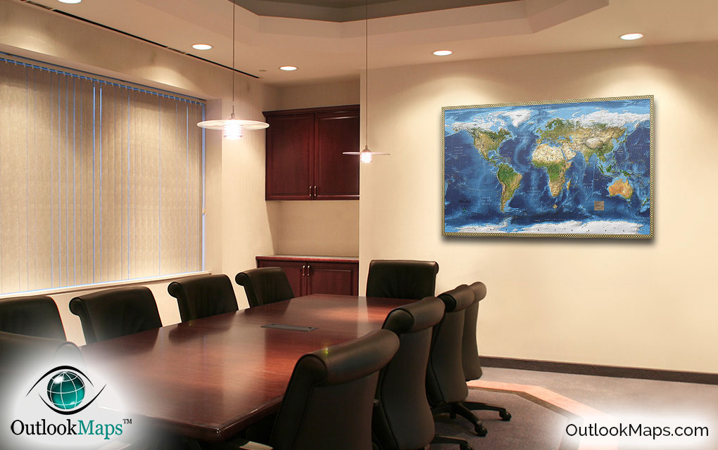
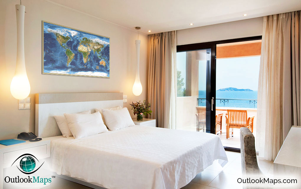
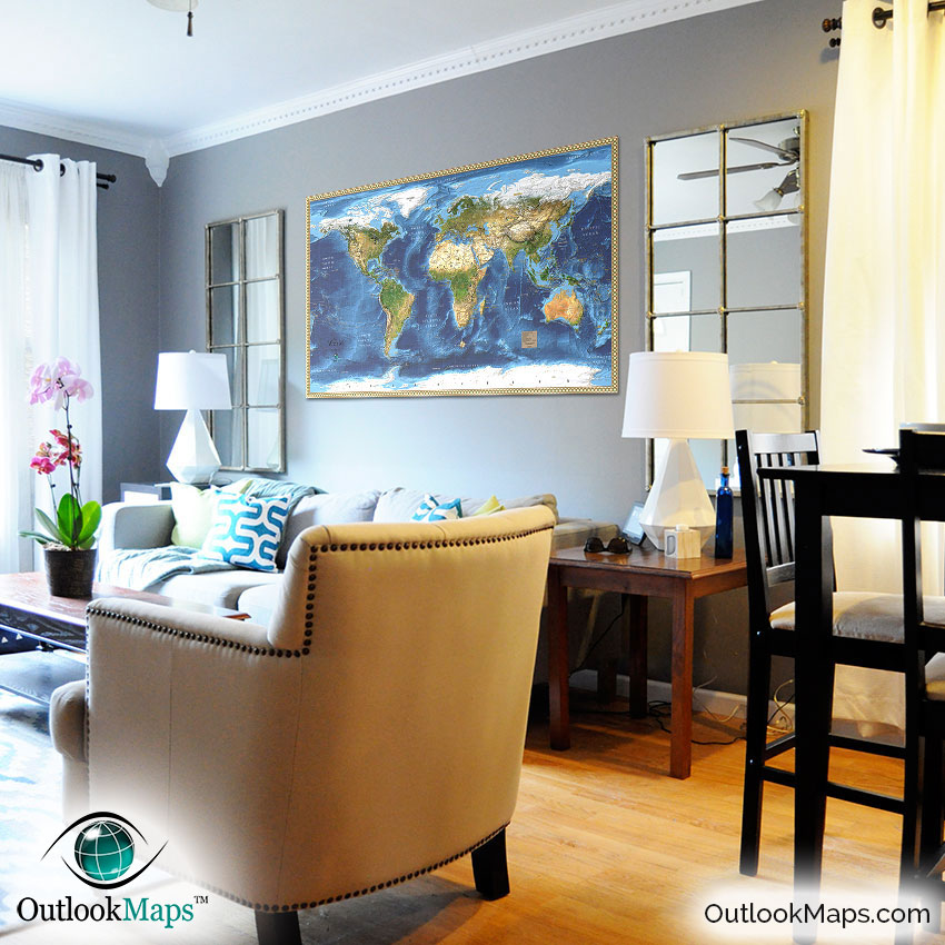
Lastly, this satellite map of the world looks spectacular when on display. Whether in your home, office, school, or business, the bold colors and beauty of the terrain are sure to captivate any viewers.