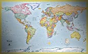
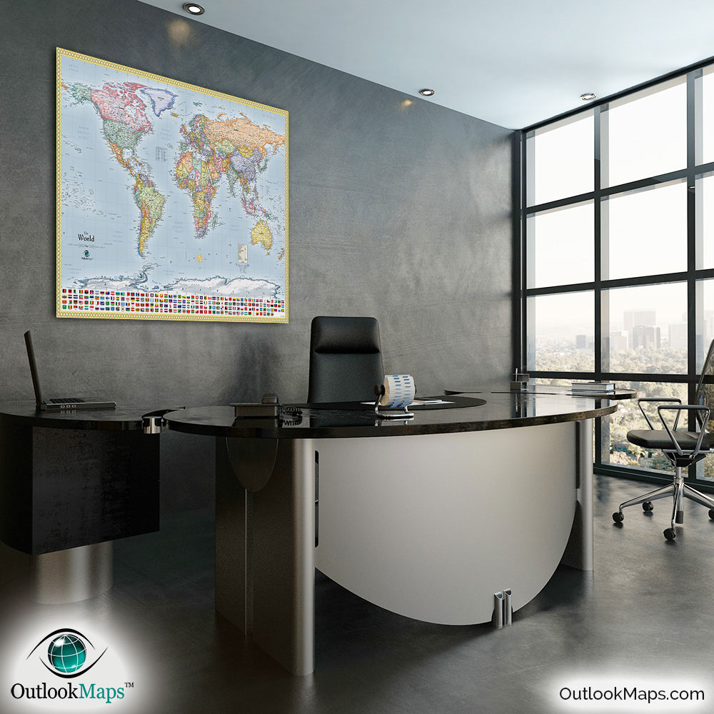
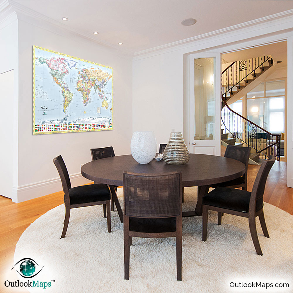
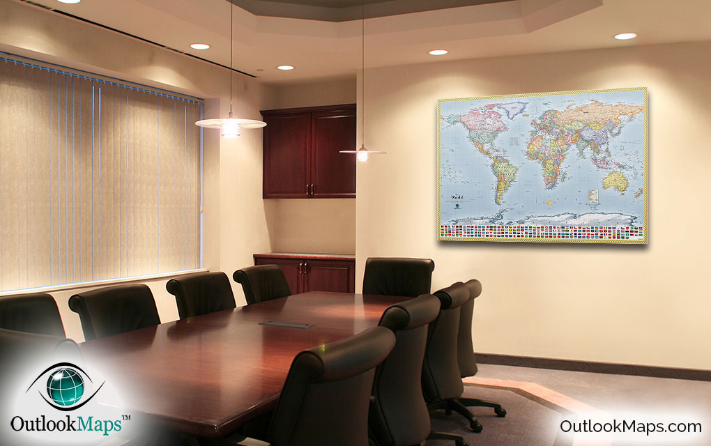
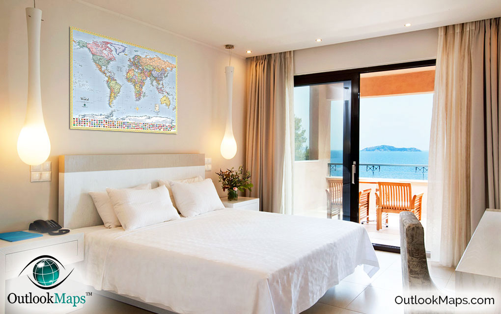
Political World Map With Flags

(Click images to see full-size)
This political world map with flags includes loads of useful information, while remaining uncluttered and easy to read.
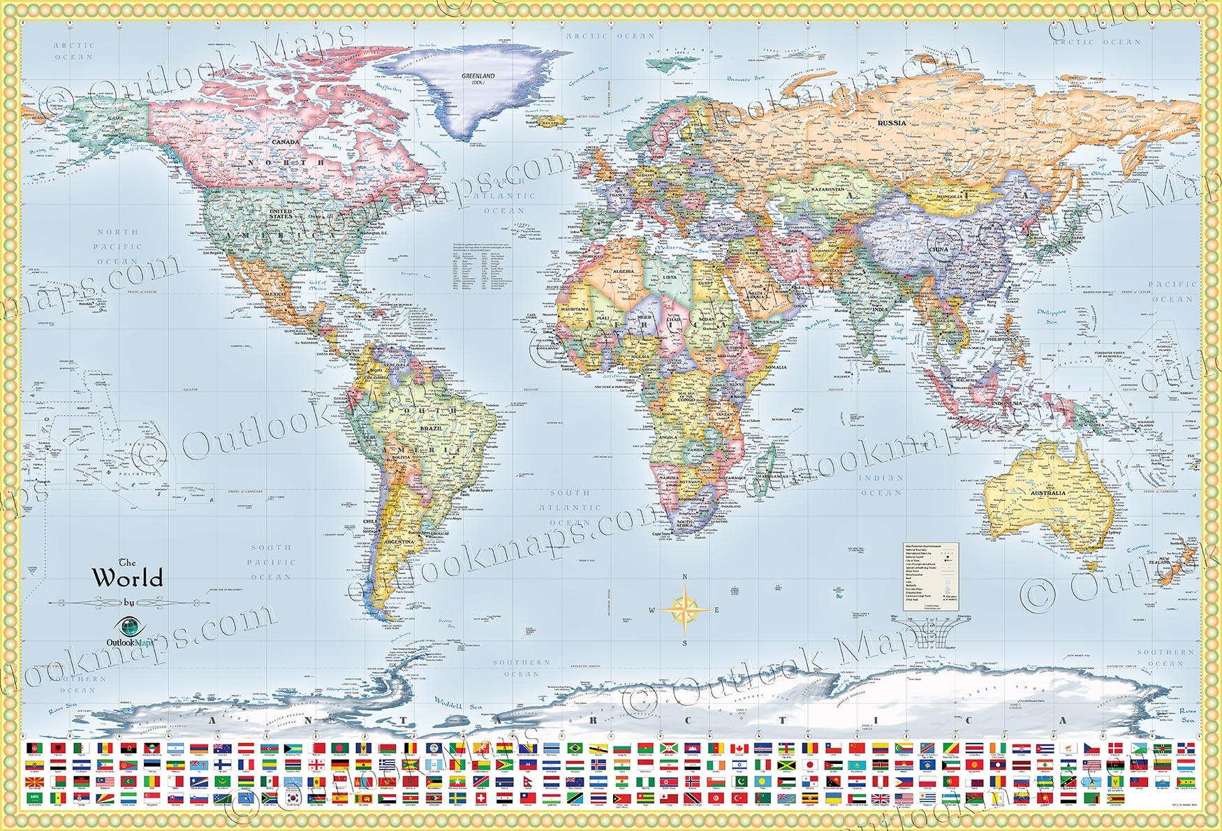
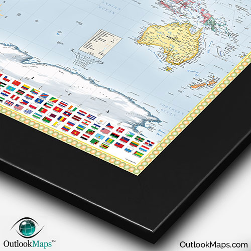
This world map with flags is designed to look spectacular when on display in your home or office. The country colors are bright and provide a clean and fresh look. The international boundaries are softly shaded too, to provide a very attractive appearance of the map. Oceans and seas are also subtly shaded, so the deep portions are a darker blue, and the coast is closer to white.
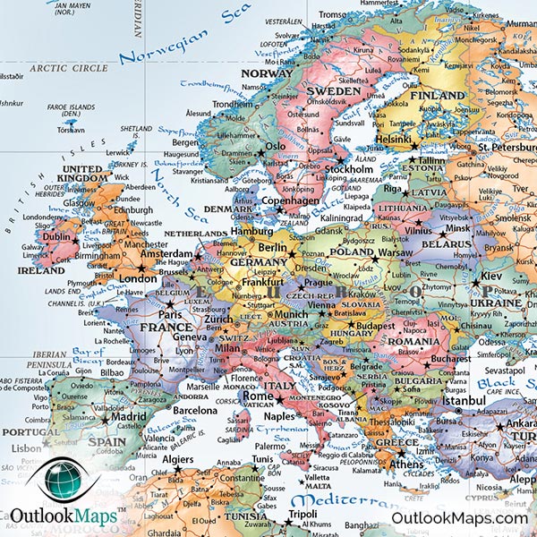
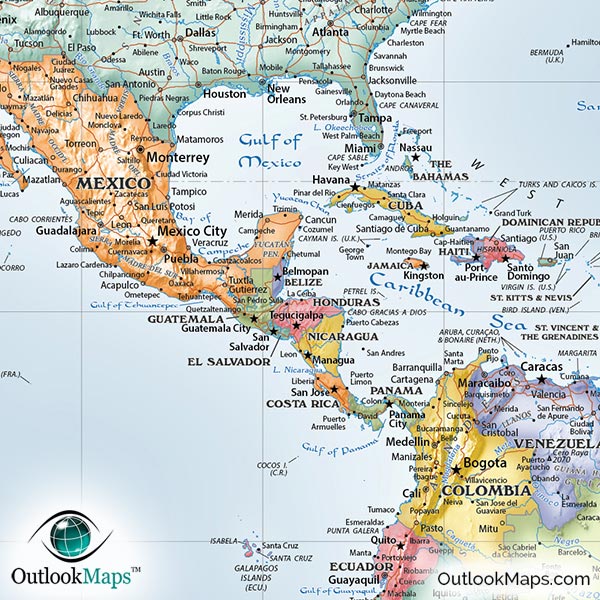
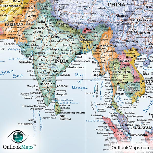
The map also uses vivid three-dimensional shading of mountains and terrain, called "shaded relief". From the Alps to the Himalayas to the Andes, all of the world's mountain ranges almost seem to jump off of the page in this map. Furthermore, the shading was digitally produced from elevation data, so the display of mountains is 100% accurate.
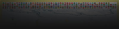
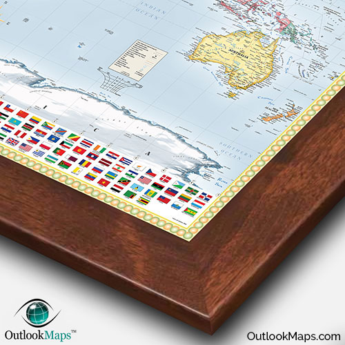
The flags of all countries across the bottom of the map make for a useful reference and also help to frame out the map and add to the eye-catching aesthetics.
More than an artistic decorative piece, this map is also really useful. Literally thousands of places are labeled, yet the map remains easy to read and uncluttered. You'll be able to quickly identify major world cities, islands, and natural features, while also finding much more obscure places off the beaten path.
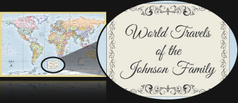
This world map will help you plan and keep track of your world travels. You can order the map framed and mounted, which makes an excellent way to use push-pins to "check-off" the cities and countries you've been to.
By displaying this map, you'll certainly become a geography expert in no time! Not only will you know your continents, countries, capitals, and flags, but you'll be able to identify world physical features, seas, peaks, and rivers with ease.
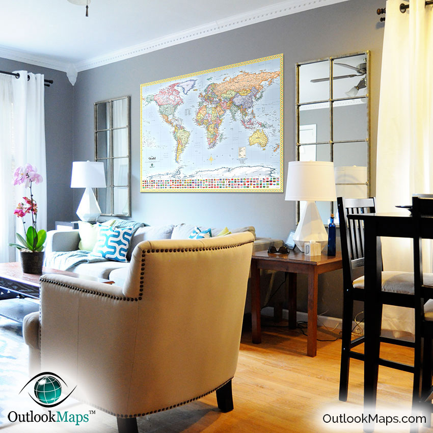
This map combines function and beauty like no other maps can. Whether for travel, reference, home décor, or even a child's education, this political world map with flags is certain to fit the bill.