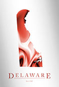
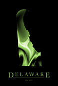
Delaware Topographic Wall Map of Physical Terrain


(Click images to see full-size)
Note: This map is an artistic representation of Delaware's terrain. Text labels are intentionally limited.
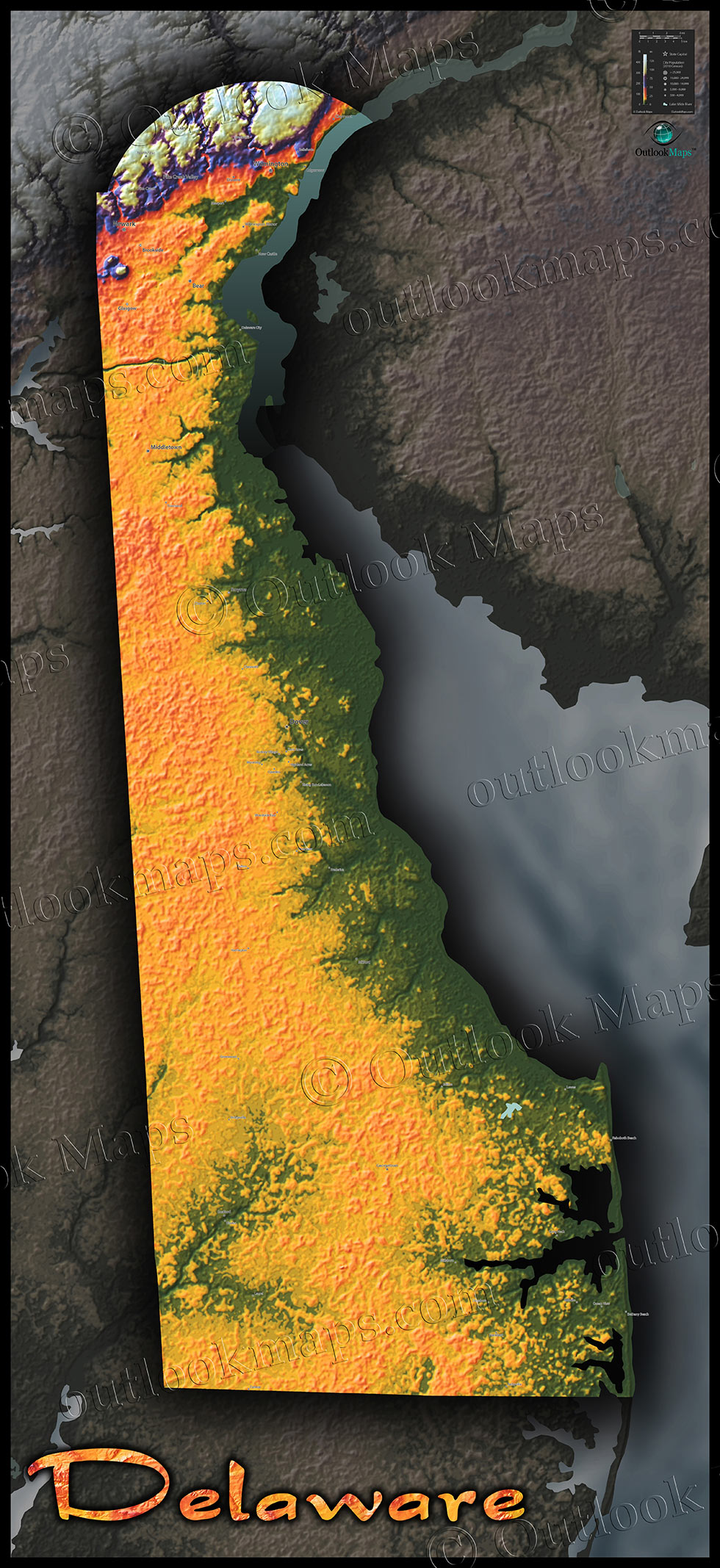
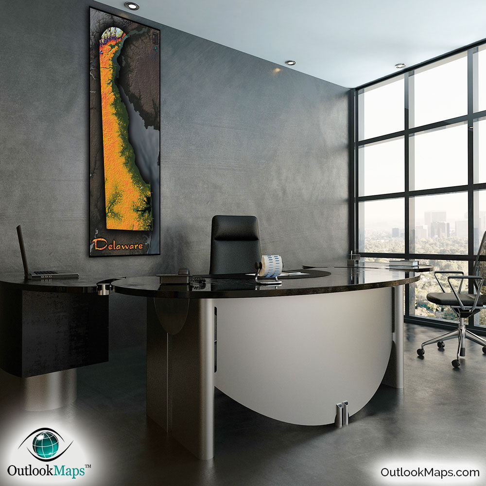
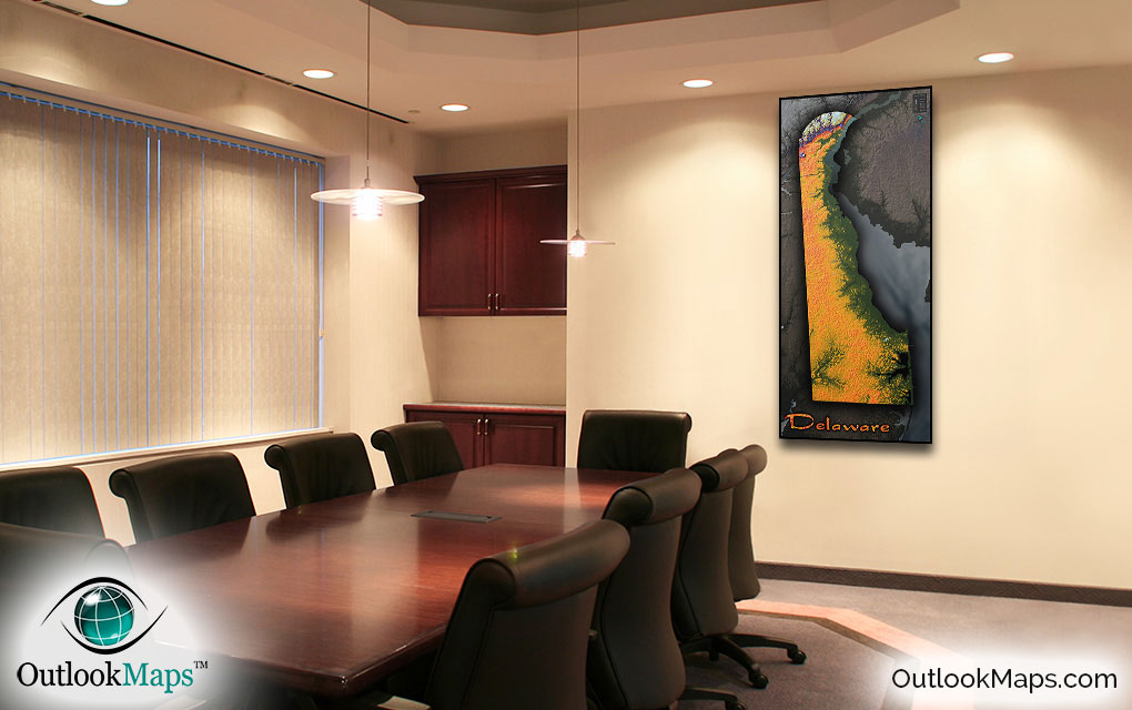
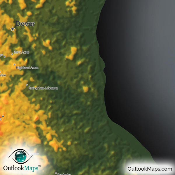
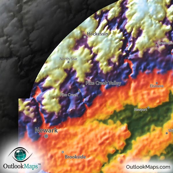
The colors used in the map represent elevation as follows: Green is used for the lowest areas, primarily along the Atlantic coast on the east side of the state. Yellow and Orange is for slightly higher lands, primarily the inland coastal plains. The highest part of the state is the northern tip, which just catches where the Appalachian Piedmont. This portion of Delaware is shown with Blues, Purples, and Whites for the highest areas.
Most of Delaware's major towns and cities lie in the mid-elevation range, including Dover (the capital city), Wilmington, Newark, Middletown, and Smyrna.
Learn how this Delaware topographic image was created with digital elevation data.
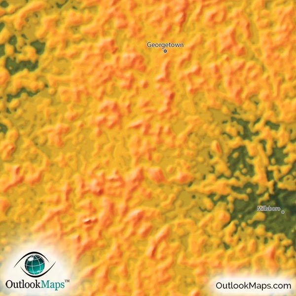
Delaware is among the flattest states in the United States, which is very apparent from this map. The only significant elevation change is in the upper tip of the state, where the high point reaches 447 ft or 136 meters. There are very few significant natural features in Delaware, as the state is mostly comprised of flat coastal plains. There is, however, an interesting hill called Iron Hill near Newark that is very visible in the map.
A total of 54 Delaware cities and towns are labeled.
All major cities like Dover, Wilmington, Georgetown, Newark, Bear, and Middletown are shown.
Some of the medium and smaller towns on the map include Hockessin, Milford, Pike Creek, Elsmere, Millsboro, Camden, Clayton, Riverview, Selbyville, Long Neck, Delaware City, Cheswold, Felton, Bethany Beach, Frankford, Millville, and many others.
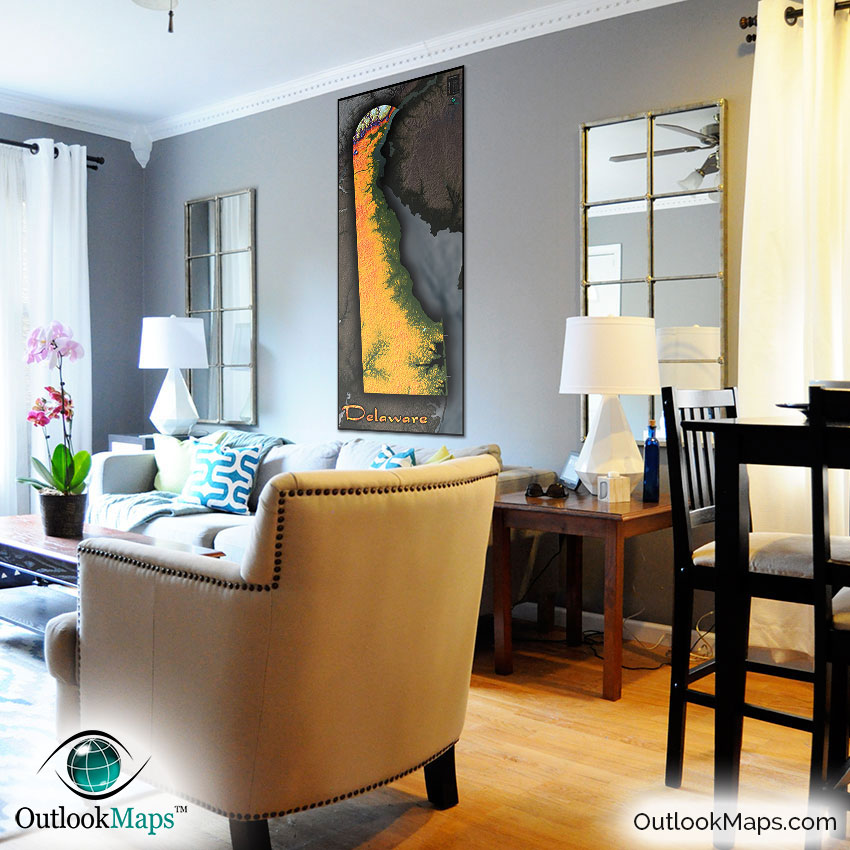
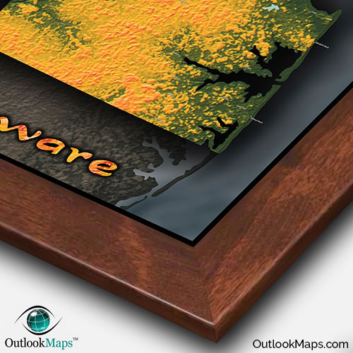
Certainly not known for spectacular terrain and landforms, even the state of Delaware looks really cool when displayed in this colorful topographic physical map style. The subtle elevation changes throughout the state become very apparent and interesting to view. Also, the map contains useful geographic information of the state, such as names and locations of Delaware towns and cities. Combined with the gorgeous style and vivid colors, this map is sure to inspire viewers and look great on any wall, whether in the office, home, or classroom.