Maryland Topographical Elevation Wall Map


(Click images to see full-size)
Note: To keep an uncluttered and artistic style of Maryland's landscape, minimal text labels are included.

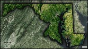
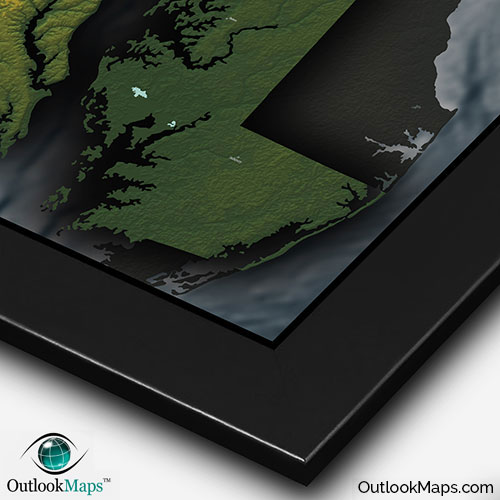
Maryland's lowest elevation is the southeast that borders the Chesapeake Bay, including the Delmarva Peninsula. This low area is colored green.
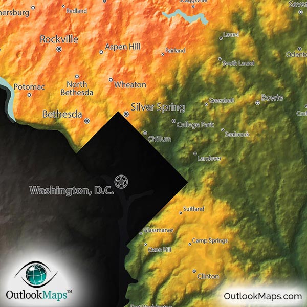
As elevation increases, land colors are represented by yellow, orange, and reds. Maryland's main centers of population such as the Baltimore and Washington D.C. area both lie in the transition from low to mid-level elevation, which also includes the Piedmont region.
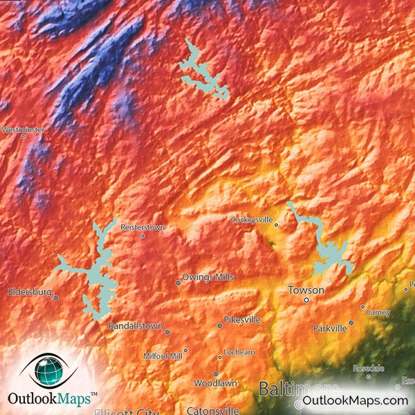
The highest parts of Maryland are colored in blue and purple with white representing the absolute highest points. White dominates in the western part of Maryland's panhandle where the Appalachian Mountains reach their most elevated levels in the state. Maryland's highest point is Hoye-Crest in the southwest corner of the Panhandle, reaching an elevation of 3,360 feet or 1024 meters.
Learn how this Maryland topographic image was created with digital elevation data.
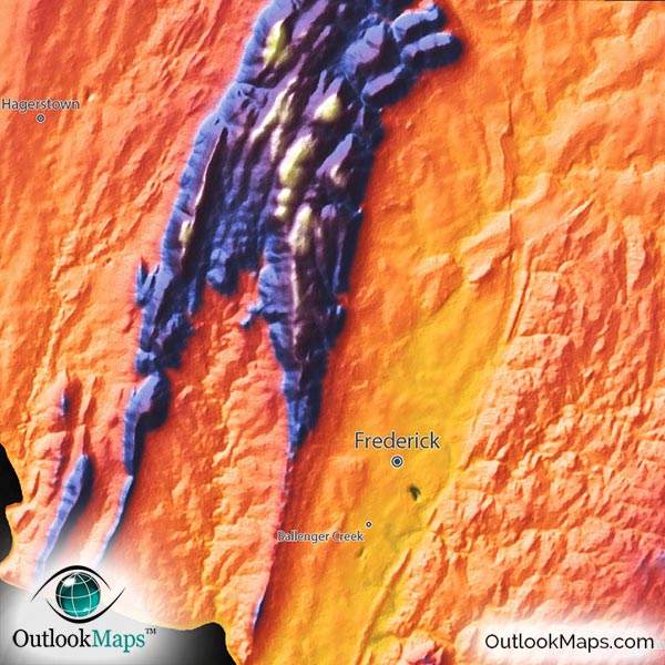
Maryland's physical terrain is extremely diverse with distinctly different regions. The coastal plains are mostly flat, in stark contrast to Maryland's Appalachians which are some of the most rugged and beautiful in the country.
Specific mountain ranges within the Appalachians are also clearly visible in the map. The Blue Ridge Mountains form a clearly identifiable ridge just west of Frederick, and the Allegheny Mountains in the west comprise Maryland's highest peaks.
Though Maryland does not contain natural lakes to speak of, several man-made reservoirs are present and visible in the map. Prettyboy Reservoir, Loch Raven Reservoir, and Liberty Lake are all shown.
Islands off Maryland's coast, including Kent Island and Smith Island in the Chesapeake Bay, among others, are also shown in the map.
75 Maryland cities and towns are labeled on the map.
Major cities like Washington D.C., Baltimore, Annapolis, Columbia, Germantown, Silver Spring, and Rockville are all shown.
Some of the labeled medium and smaller towns include Salisbury, Easton, Glen Burnie, Gaithersburg, Wheaton, Severn, Essex, Odenton, Chillum, Pikesville, Bel Air North, Carney, Crofton, Suitland, Middle River, Scaggsville, Fairland, Landover, Arbutus, Camp Springs, Glassmanor, Damascus, as well as many others.

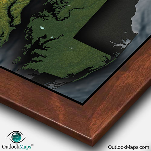
This Maryland map is unlike any other. The colors, the shading, the style…everything about the map is unique and specifically designed to not only be an accurate reference of Maryland's terrain and geography, but a stylish work of art sure to look amazing on your wall.
The map makes a great addition to the decor of any room. It will look splendid in your home, office, a child's bedroom, a college dorm room, or even an educational classroom as a way to interest students in Maryland geography.
A one of a kind map, this Maryland topographical physical map really captures the natural beauty and diversity of the great state of Maryland.