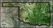
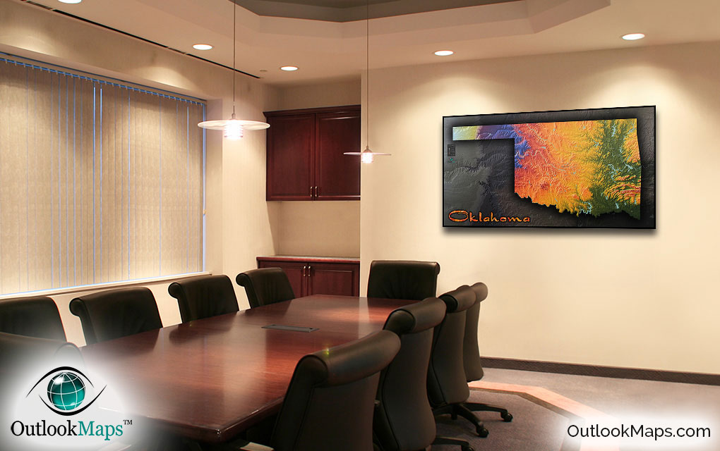
Oklahoma Physical Topography Wall Map


(Click images to see full-size)
Note: To keep an uncluttered and artistic style of Oklahoma's landscape, minimal text labels are included.

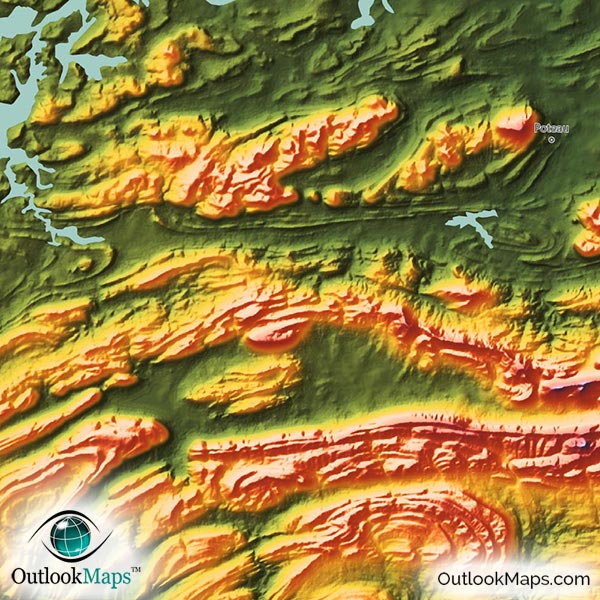
Low elevation is indicated with green color. In Oklahoma, the lowest elevation lies mostly in the eastern portion of the state, with the lowest elevation being located in the southeast corner of the state. The major Oklahoma cities of Tulsa and Broken Arrow lie in this low-elevation portion of the state.
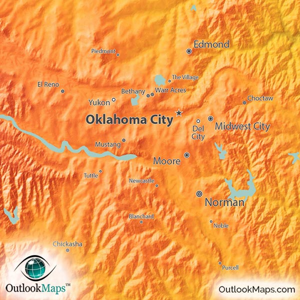
Mid-elevation is colored with warmer colors like yellow, orange, and red. Most of the Great Plains which run through central Oklahoma lie in this mid-elevation levels. Eastern high areas of the Ozark Plateau and Ouachita Mountains are also at middle levels of elevation. Oklahoma City, Norman, and Lawton all lie in this elevation range.
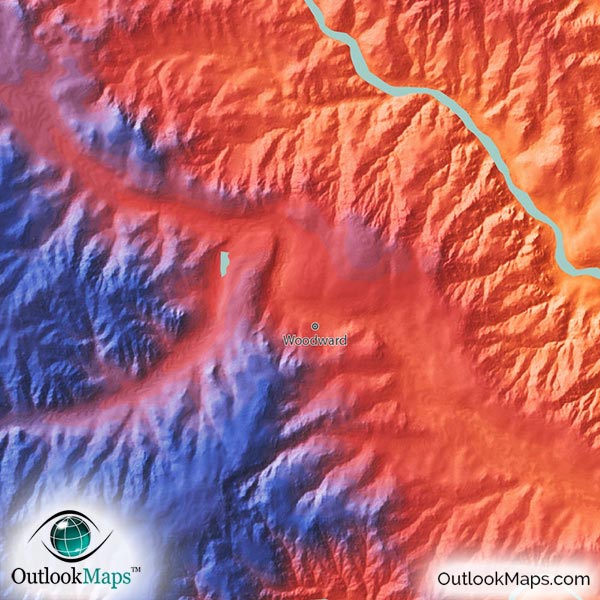
High areas are colored with blue and purple, and white is used to represent Oklahoma's highest lands. This high area is very distinctly located in the high plains of Oklahoma's panhandle. Oklahoma's highest point is Black Mesa at an elevation of 1516 m (or 4,975 ft) and is located in the northwest corner of the panhandle.
Learn how this Oklahoma topographic image was created with digital elevation data.
The most prominent physical feature that is visible is the rise in elevation from east to west. As with most Great Plains states, this rise in elevation is consistent and steady as you move westward across the state.
Specific ranges such as the Ozark Plateau, Ouachita Mountains in the east; and the Arbuckle Mountains and Wichita Mountains in the south are also clearly visible in this physical map.
The map also shows the river valleys carved out by major rivers like the Red River, Canadian River, and Arkansas River.
Oklahoma features some of the largest concentration of large reservoirs of any state, and those lakes and reservoirs are all visible in the map, including Lake Texoma, Robert S. Kerr Reservoir, Eufaula Lake, Broken Bow Lake, Grand Lake O' The Cherokees, Keystone Lake, Fort Gibson Reservoir, Oologah Lake, and many others.
74 Oklahoma cities and towns are labeled on the map.
All major cities like Oklahoma City, Tulsa, Norman, Lawton, Enid, Stillwater, and Shawnee are shown.
Some of the labeled medium and smaller towns include Moore, Duncan, Claremore, El Reno, Tahlequah, Woodward, Pryor Creek, Wagoner, Pauls Valley, Vinita, Watonga, Yukon, Bethany, Jenks, Weatherford, Coweta, Cushing, Seminole, Blackwell, Tecumseh, Piedmont, as well as many others.

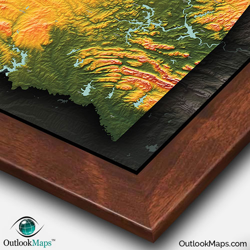
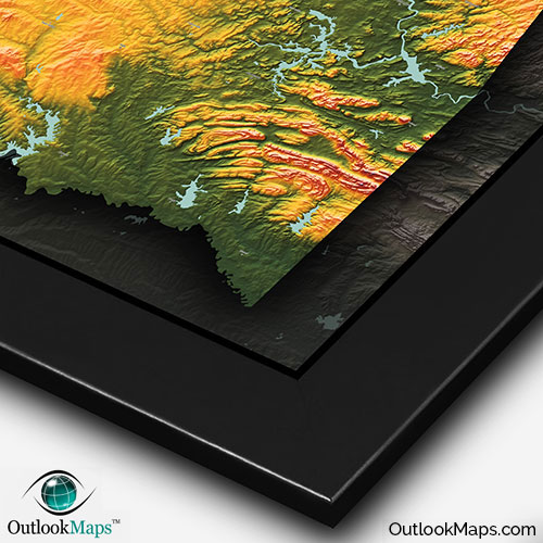
With it's bright colors, 3D shading, and distinctly modern style, we're confident this Oklahoma topographic map will draw attention and look spectacular on any wall. More than just a useful reference of Oklahoma geography, this map is a work of art, and will look great in your home, place of work, classroom, or anywhere else to add some flare and style and capture Oklahoma's unique natural beauty.