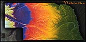
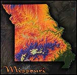
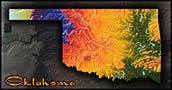
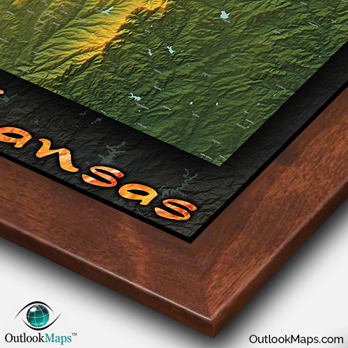
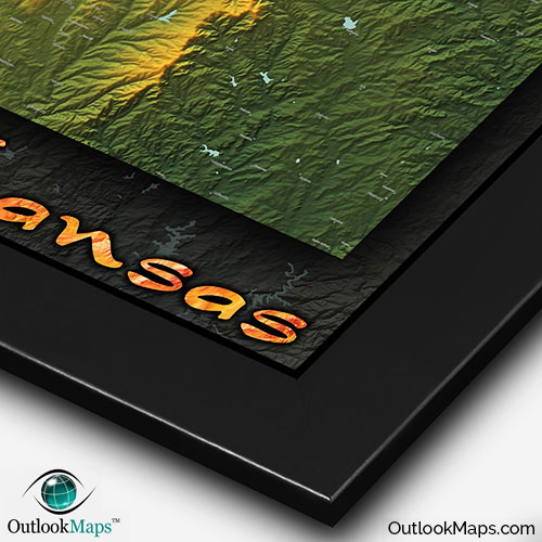
Kansas Physical Topographical Wall Map


(Click images to see full-size)
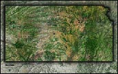
Note: To keep an uncluttered and artistic style of Kansas's landscape, minimal text labels are included.

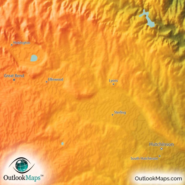
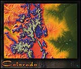
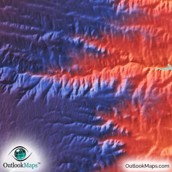
Colors of the map change as elevation increases, from green (at Kansas' lowest elevation) to yellow, orange, and red (at mid-elevation) to blue and purple and ultimately white at the highest elevation. Kansas' elevation starts at the lowest along the eastern edge of the state at the Missouri border, and continually rises toward the west. The elevation change is remarkable consistent, all the way to Kansas' highest point of Mount Sunflower (1232 m / 4,041 ft) less than 1 mile from the Colorado border.
Most of Kansas' major cities lie in the low elevation regions, including Wichita, Topeka (Kansas' capital city), and the entire Kansas City metro area.
Learn how this Kansas topographic image was created with digital elevation data.
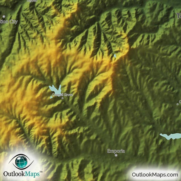
Being that Kansas sits squarely out on the Great Plains, there are not an abundant amount of physical landforms or mountains. Much of the interesting elevation contours and terrain come from the rivers valleys that cut out there way across the plains. The river valleys from the Kansas River, Solomon River, Smoky Hill River, and the Arkansas River are especially pronounced. Specific hilly regions such as the Smoky Hills, Red Hills, and especially the Flint Hills in southeast Kansas are visible and interesting to view.
Many of Kansas' lakes and reservoirs are also shown, including but not limited to: Cheney Reservoir, Cheyenne Bottoms, Cedar Bluff Reservoir, Kanopolis Lake, Wilson Lake, Marion Lake, Milford Lake, Turtle Creek Lake, Waconda Lake, Kirwin Reservoir, Perry Lake, Clinton Lake, Melvern Lake, Pomona Lake, John Redmond Reservoir, Toronto Lake, and Elk City Lake.
A total of 118 Kansas cities and towns are labeled.
Major cities like Topeka, Wichita, Kansas City, Olathe, Lawrence, Overland Park, Leawood, Salina, Dodge City, Junction City, Newton, and El Dorado are all shown.
Some of the medium and smaller towns on the map include Atchison, Fort Scott, Ulysses, Concordia, Goodland, Hugoton, Lyons, Columbus, Hiawatha, Girard, Phillipsburg, Lakin, Council Grove, Medicine Lodge, Gardner, Lansing, Coffeyville, Bonner Springs, Bel Aire, De Soto, Basehor, Wamego, Baxter Springs, Lindsborg, Oaklawn-Sunview, Osage City, Sabetha, Clearwater, Sterling, Holcomb, Halstead, and many others.
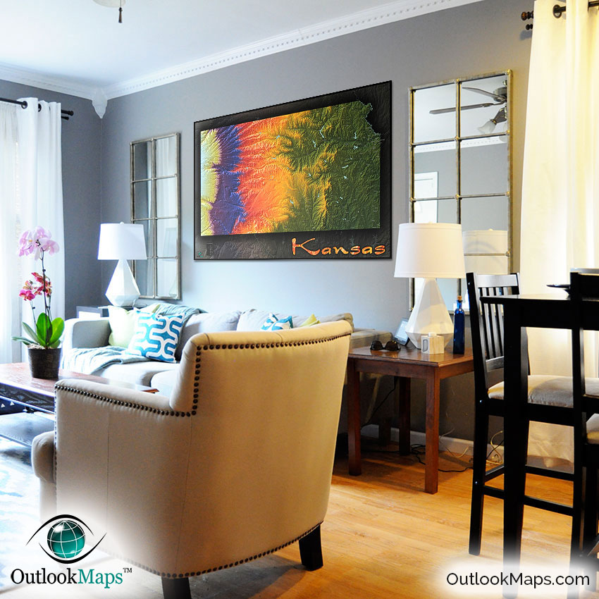
The coloration and depth of this Kansas physical map make it an excellent map to display. The map is really vibrantly colored and will be a great addition to the décor of any room, whether in your home, office, or even in a classroom. Since the map also includes the locations of Kansas' towns and cities, it also makes a useful reference map...though care was taken to make sure the map was not overwhelmed with the text, and maintained an uncluttered, wall map-like appearance.
We're sure that this Kansas topographical map will have you admiring the natural beauty of the Kansas terrain, and draw the attention of many viewers.