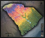
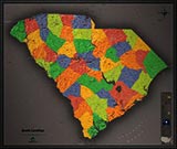
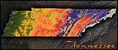
South Carolina Topographic Terrain Wall Map


(Click images to see full-size)
Note: The focus of this map is South Carolina's physical terrain. To maintain the artistic appearance, text labels are minimal.

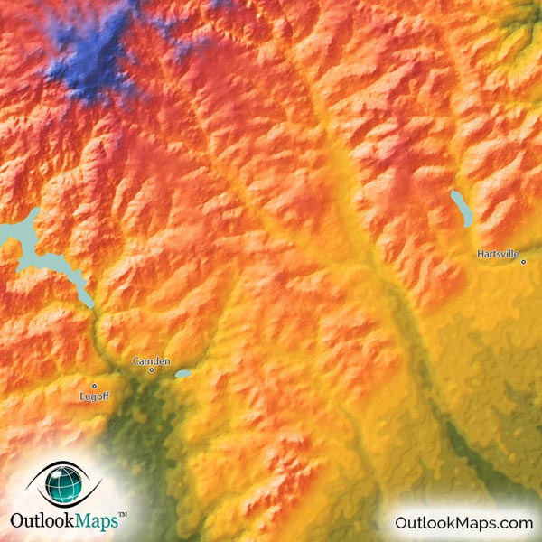
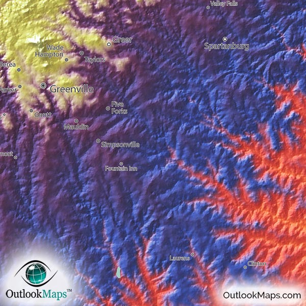
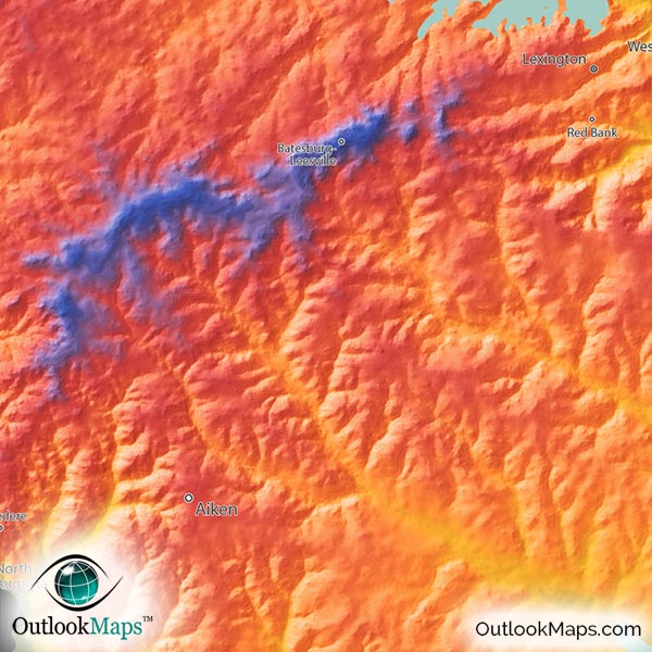
The colors in the map correspond to South Carolina's elevation. From lowest to highest, the color spectrum goes from Green, to Yellow, to Orange, to Red, to Blue, to Purple, and finally White in the highest parts of the state.
The lowest areas are clearly the coastal plains in southeast South Carolina along the Atlantic Ocean coast. The Highest area is the Blue Ridge Mountains in the northwest corner. The lands in between gradually and consistently rise in elevation as you move more inland.
South Carolina's highest point is Sassafras Mountain with an elevation of 3,560 ft or 1085 m, and is located in the Blue Ridge Mountains.
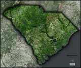
Learn how this South Carolina topographic image was created with digital elevation data.
The coloration of South Carolina's elevation makes it easy to distinguish the various physical regions throughout the state.
The coastal plain is the low-lying flat lands along the Atlantic coast.
More inland is the Sandhills region, which is where the coast used to be millions of years in the past.
Even more inland is the Piedmont, which has more rolling hills.
South Carolina's Upstate region is the higher blue and purple region on the northwest, and finally the Blue Ridge Mountains in the northeast corner.
River valleys are visible throughout the map, including the valleys from the Pee Dee River, Santee River, Edisto River, and the Savannah River which makes the Georgia border.
South Carolina's many lakes and reservoirs are also shown in the map. Lake Marion is the largest lake and is located in central South Carolina. Other lakes shown include Lake Strom Thurmond, Lake Moultrie, Lake Hartwell, Russell Lake, Lake Keowee, and Lake Murray.
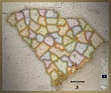
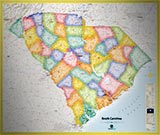
89 South Carolina cities and towns are labeled on the map.
All major cities like Columbia, Charleston, Greenville, Sumter, Florence, Spartanburg, and Rock Hill are shown.
Some of the labeled medium and smaller towns include Aiken, Lexington, Gaffney, Georgetown, Lancaster, York, Dillon, Walterboro, Myrtle Beach, Taylors, Saint Andrews, Simpsonville, West Columbia, Five Forks, Ladson, Bluffton, Irmo, Red Bank, Lake Wylie, Boiling Springs, Hartsville, Murrells Inlet, Lake City, Homeland Park, Belvedere, Central, and many others.
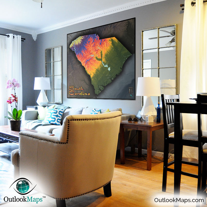
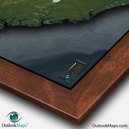
Not only does this map provide useful reference of South Carolina's topography and location of cities and towns, the stunning image also makes a piece of art that will spice up any wall! The map will make a splendid addition to the décor of any room in your home or place of work. It is also a great addition to any classroom, as kids will love the cool and sleek style.
Quite unlike any map you've ever seen, this South Carolina topographical physical map is a must have to display South Carolina's natural beauty.