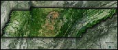
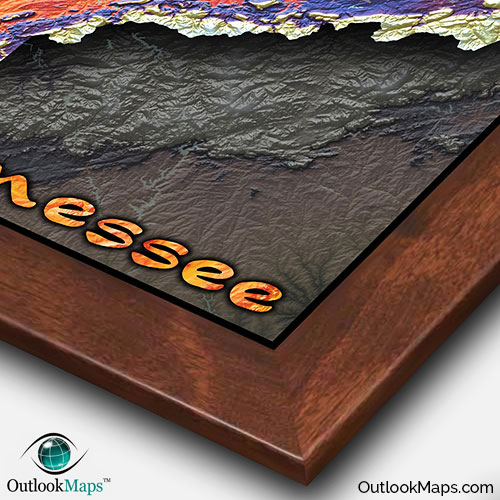
Tennessee Topographic Elevation Wall Map


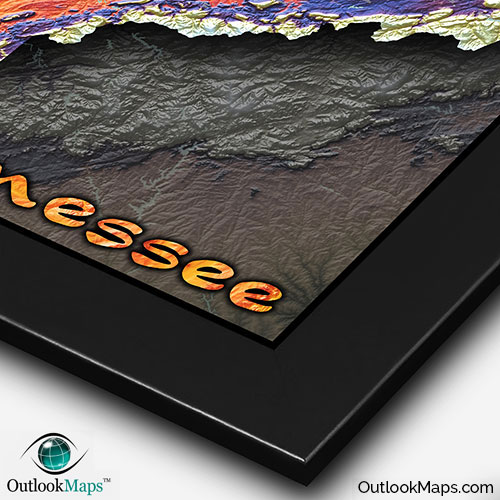
(Click images to see full-size)
Note: The focus of this map is Tennessee's physical terrain. To maintain the artistic appearance, text labels are minimal.

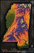
Green represents Tennessee's lowest elevation, which is primarily found in West Tennessee in the Mississippi Alluvial Plain. Memphis, Tennessee's largest city lies along the Mississippi River in this low-elevation land.
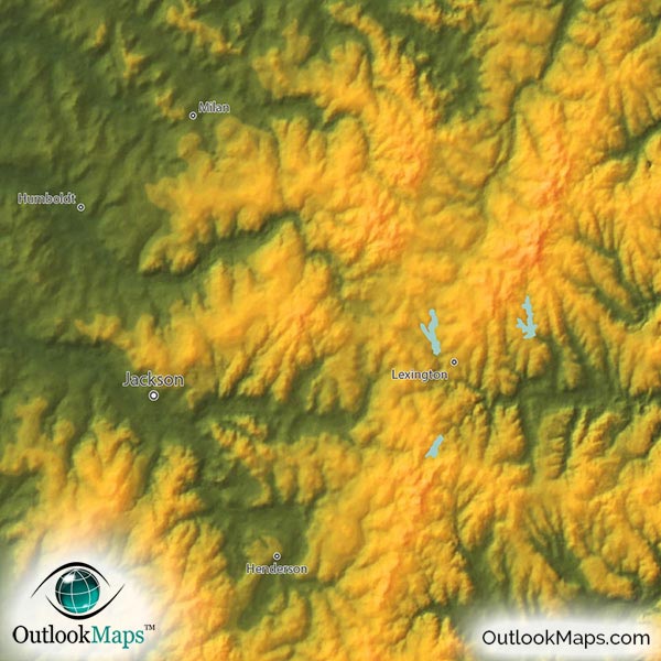
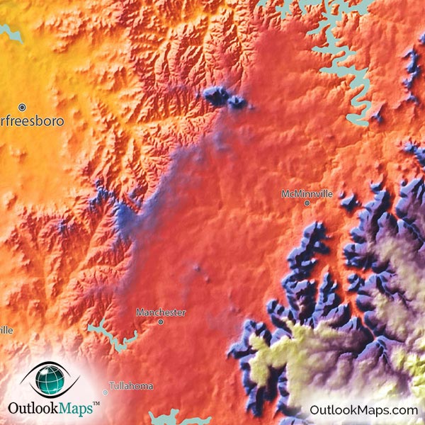
As elevation increases, the colors used are yellow, orange, and red (warm colors). These colors indicate a mid-level elevation. Many of Tennessee's largest cities lie in this mid-level elevation across most of central Tennessee and parts of East Tennessee: Nashville (the capital city), Chattanooga, Knoxville, and Clarksville.
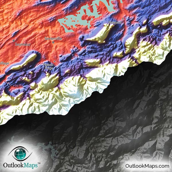
High elevation is colored with blue and purple, and white indicates the highest peaks. Much of Eastern Tennessee includes high elevation lands of the greater Appalachian Mountain Range.
Tennessee's highest point, Clingmans Dome (6643 feet or 2667 meters), is located along the North Carolina border in the eastern edge of Tennessee.
Learn how this Tennessee topographic image was created with digital elevation data.
All of Tennessee's main natural physical features are clearly visible in this map.
Starting in the east, the Blue Ridge Mountains (including the famous Great Smoky Mountains) lie along the North Carolina border.
Further west you find the Ridge and Valley region, including the broad Tennessee Valley in which water drains through the Tennessee River.
Even further west, you can clearly see the Cumberland Plateau, with a mostly flat-topped hill and a very steep valley cut in it's center. This is the last high-elevation land in the state.
In Middle Tennessee, the Highland Rim can clearly bee seen, as it surrounds the Nashville Basin.
West Tennessee is characterized by flat and rolling lands of the Gulf Coastal Plain and the broad Mississippi Alluvial Plain in the far west border near the Mississippi River.
The map also shows Tennessee's many lakes and reservoirs. Starting in the east and moving west, some of these bodies of water include: Cherokee Lake, Douglass Lake, Norris Lake, Watts Bar Lake, Chickamauga Lake, Dale Hollow Lake, Center Hill Lake, Lake Barkley, and Kentucky Lake.
Much of the Tennessee River, Cumberland River, and Mississippi River are also shown.
A total of 106 Tennessee cities and towns are labeled.
All major cities like Nashville, Memphis, Knoxville, Chattanooga, Clarksville, Murfreesboro, Cleveland, Johnson City, Kingsport, and Gallatin are shown.
Some of the labeled medium and smaller towns include Lebanon, Springfield, Elizabethton, Lewisburg, Lawrenceburg, Manchester, Winchester, Hartsville, Savannah, Lynchburg, Kingston, Jonesborough, La Vergne, Bristol, Farragut, Dickson, Lakeland, Portland, White House, Lenoir City, Atoka, Milan, Signal Mountain, Colonial Heights, Oakland, Greenbrier, Pigeon Forge, Sweetwater, McKenzie, and many others.

This Tennessee Topographic Map is one of our favorite maps, as the landforms and mountains across Tennessee (especially East Tennessee) look absolutely spectacular. The vibrantly colored elevation changes and the bold 3D shading give the terrain a lifelike appearance that makes the mountains seem to jump off the page.
Wherever you display this Tennessee physical map (your home, office, classroom, or somewhere else), you can be certain that this map will add a stylish and artistic decor to your room. Just be warned: anyone who sees this map will ask you about it, as it will certainly draw attention and curiosity.