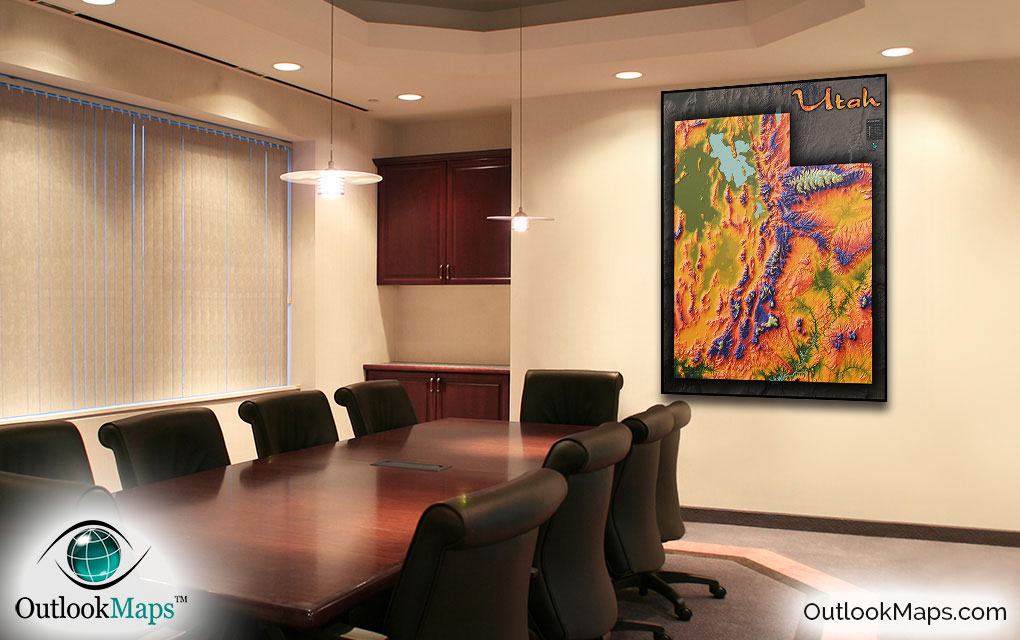
Utah Topographical Terrain Wall Map


(Click images to see full-size)
Note: To keep an uncluttered and artistic style of Utah's landscape, minimal text labels are included.

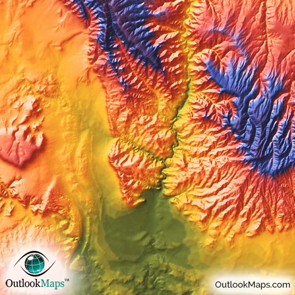
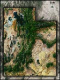
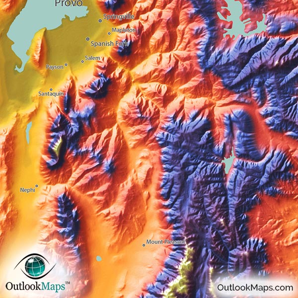
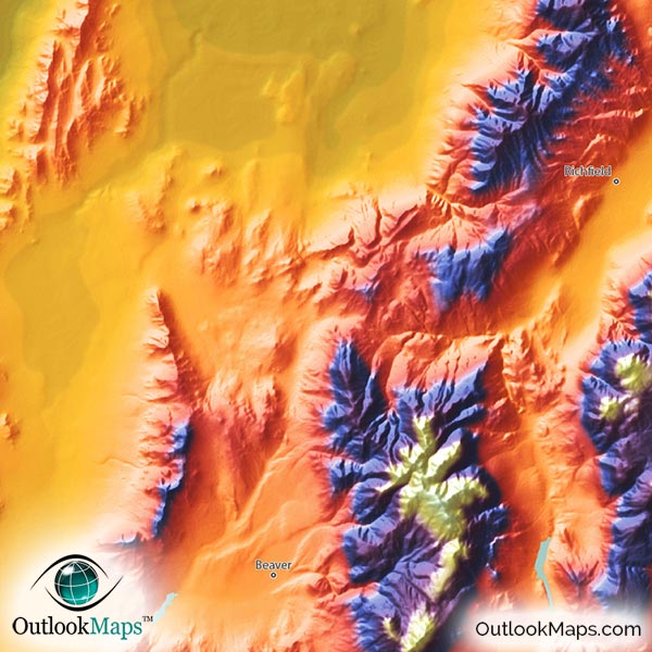
Low elevation is shown with the color green. In Utah, there are several regions of low elevation: The Great Salt Lake Desert in northwest Utah and the land adjacent to the Great Salt Lake, the Virgin River Valley in southwest Utah, and the Colorado River and Green River valleys which run through the middle of southeastern Utah. Most of Utah's population center is located in this relatively low-elevation range, namely the greater Salt Lake City area.
Mid-level elevation is shown in yellow, orange, and red colors (warm colors). Most of Utah lies in this mid-elevation range.
High elevation is shown in blue and purple colors, with the highest peaks and mountains shown in white. High elevation areas run from north to south through Utah's center. The highest region is the Uinta Mountains just south of the Wyoming border in northeast Utah. Utah's highest peak, Kings Peak, is located in these mountains and has an elevation of 13,534 feet or 4125 meters.
Learn how this Utah topographic image was created with digital elevation data.
Falling into three distinct regions (the Rocky Mountains, Colorado Plateau, and Great Basin) the state of Utah is one of the most physically diverse states in the USA and that diversity is clearly shown in this map.
Utah is home to many distinct rugged mountain ranges and they can all be seen in this physical map. Such ranges include the Uinta Mountains, Wasatch Range, Henry Mountains, Pahvant Range, Wah Wah Mountains, Cedar Mountains, Promontory Mountains, Oquirrh Mountains, Deep Creek Mountains, and many other smaller ranges.
Many plateaus, deserts, canyons, and valleys also make up much of Utah's landscape. The Great Salt Lake Desert is probably the most prominent in the map, but the Escalante Desert, Aquarius Plateau, Kaiparowits Plateau, Glen Canyon, Monument Valley, and Roan Plateau are also visible.
Lakes and reservoirs are also shown in this physical map, including the Great Salt Lake in the north and Lake Powell in the south, as well as many smaller lakes and reservoirs throughout the state.
85 Utah cities and towns are labeled on the map.
Major cities like Salt Lake City, Provo, Ogden, Saint George, Logan, West Valley City, and Sandy are all shown.
Some of the labeled medium and smaller towns include Taylorsville, Farmington, Vernal, Nephi, Morgan, Parowan, Bountiful, Roy, Cottonwood Heights, Cedar City, American Fork, Clinton, North Ogden, Highland, West Haven, Grantsville, Mapleton, Hyrum, Ivins, Roosevelt, Snyderville, Perry, Silver Summit, Wellsville, Mount Pleasant, and many others.
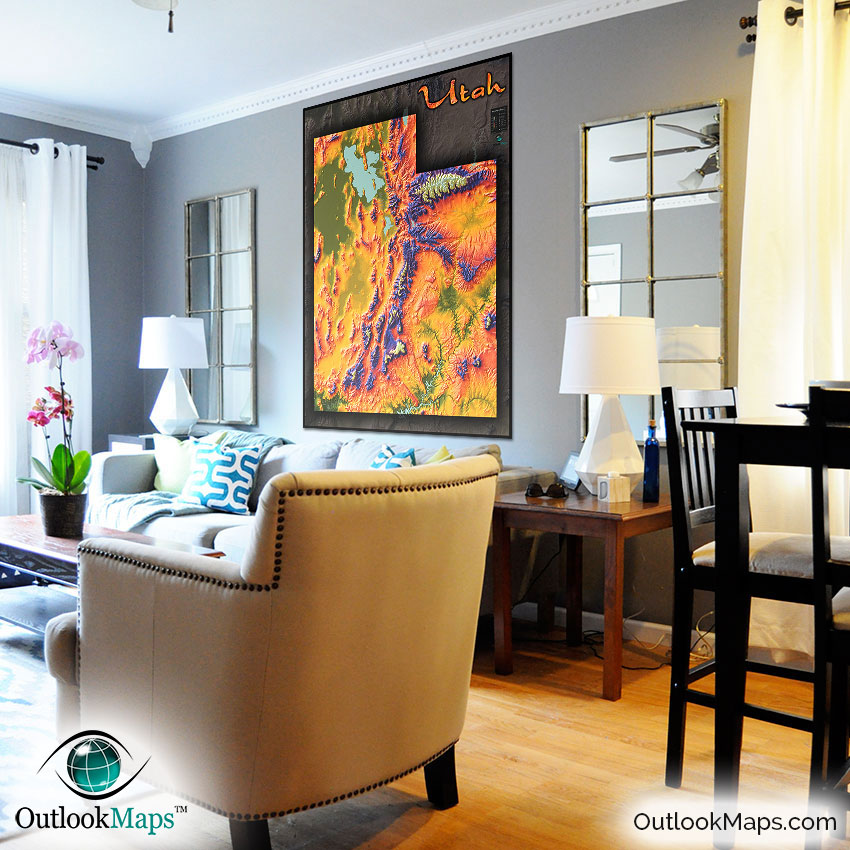
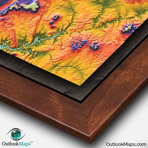
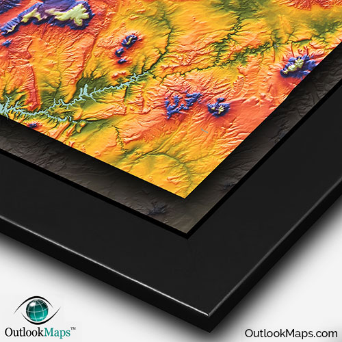
This map was designed not to just be a useful reference of Utah's geography (which it is), but was also designed specifically to be an attractive and artistic map and look great on display.
The vibrant colors of the map combined with the sleek style give this map a distinctly unique appearance - perfect to spice up the decor of any room in your house, office, classroom, business, or anywhere else you would like to celebrate the marvelous Utah landscape - certainly one of the most beautiful places in the world!