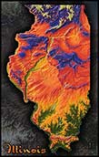
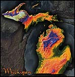
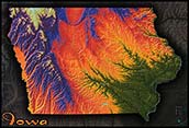
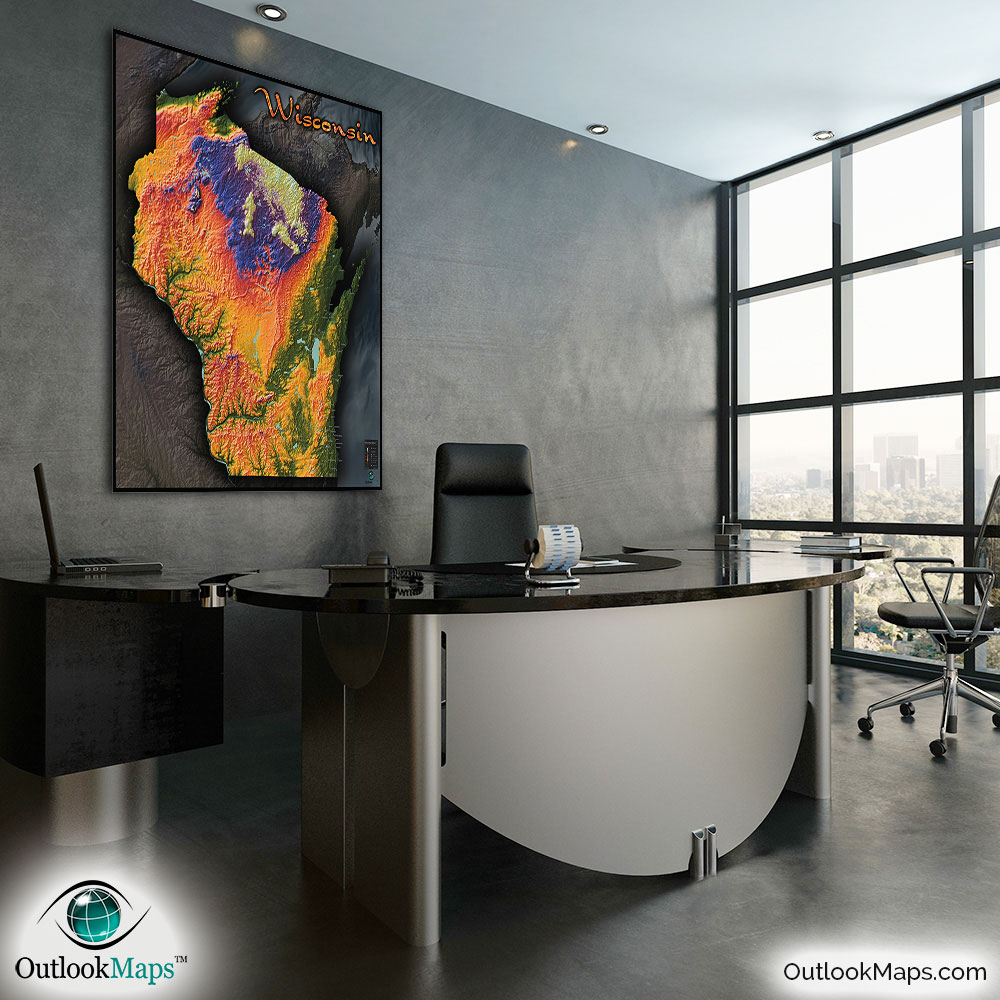
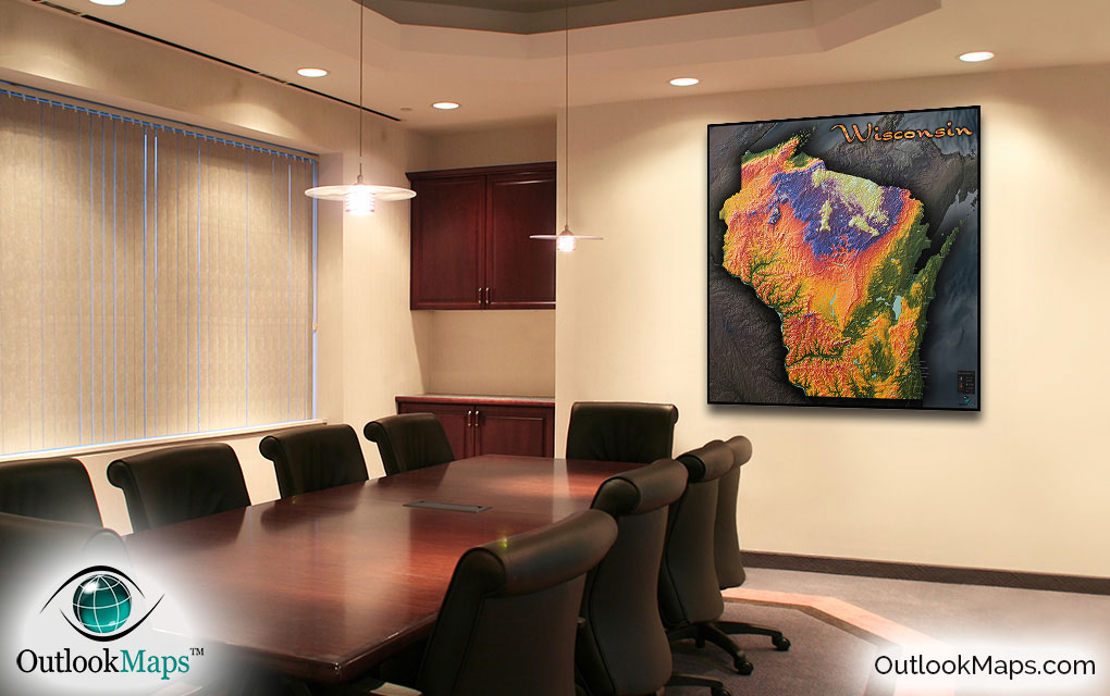
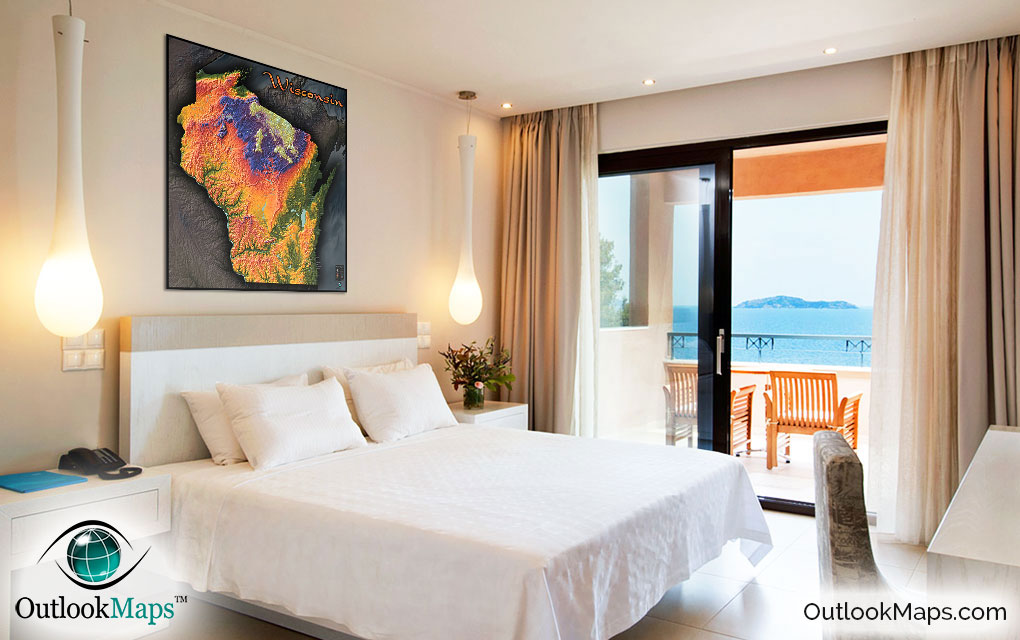
Wisconsin Topography Colorful Wall Map


(Click images to see full-size)
Note: To keep an uncluttered and artistic style of Wisconsin's landscape, minimal text labels are included.

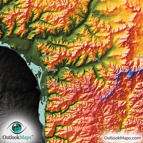
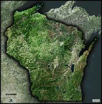
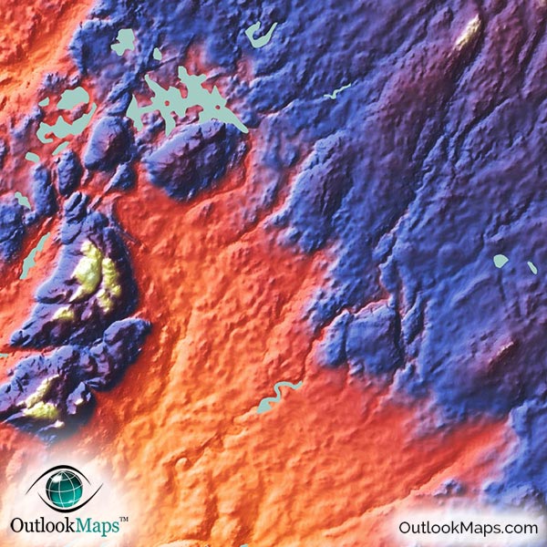
The color green indicates land is at relatively low elevation. In Wisconsin, low elevation areas are mostly around the states perimeter: on the coast of Lake Michigan and Lake Superior, the Door Peninsula, and the river valley from the Mississippi River. Most of Wisconsin's major cities lie in this low elevated areas: Milwaukee, Racine, Kenosha, and Green Bay.
As elevation increases, colors transition to yellow, orange, and red. Much of this mid-level elevation lies throughout Wisconsin and includes the capital city, Madison.
High elevation is shown with the colors blue, purple, and white. Nearly all of Wisconsin's high elevation is found in the northern part of the state, near the border with the upper peninsula of Michigan. This land is called the Superior Upland, and includes Wisconsin's highest point, Timms Hill, with an elevation of 1,951 ft or 595 m.
Learn how this Wisconsin topographic image was created with digital elevation data.
Though Wisconsin does not include any major mountains, there are still many natural features in the terrain that can be seen in the map. The hilly bluffs near the Mississippi River appear very rugged in the map as river valleys can be seen cutting there way towards the Mississippi. The Northern Highlands (Superior Upland) is also very prominent.
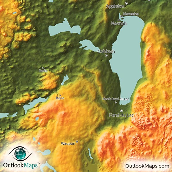
Wisconsin's many lakes are also shown in the map, including Lake Winnebago, Lake Mendota, Lake Koshkonong, Petenwell Flowage, Castle Rock Flowage, Lake Poygan, and many others.
112 Wisconsin cities and towns are labeled.
All major cities like Madison, Milwaukee, Green Bay, Kenosha, Racine, Appleton, Eau Claire, Sheboygan, Manitowoc, and West Allis are shown.
Some of the medium and smaller towns on the map include Brookfield, Wisconsin Rapids, Hudson, Marinette, Elkhorn, Shawano, Ashland, Waupaca, Greenfield, Oak Creek, Neenah, Muskego, Mequon, Pleasant Prairie, Onalaska, Menasha, Oconomowoc, Weston, Hartford, Pewaukee, Fort Atkinson, Two Rivers, Waupun, Burlington, Reedsburg, DeForest, Rice Lake, Ripon, Kronenwetter, Lake Hallie, Rothschild, and many others.
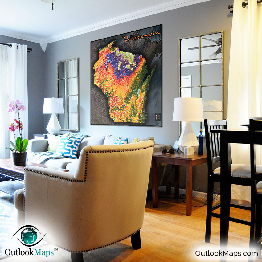
With the map's bright colors and distinctly modern style, this Wisconsin topographic physical map will make a splendid addition to any wall, whether in your home, office, classroom, or anywhere else. The map will certainly stand out and have you seeing the natural beauty of Wisconsin in a way you've never seen before.