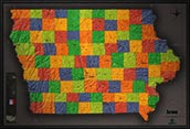
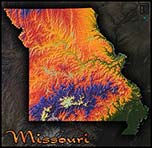
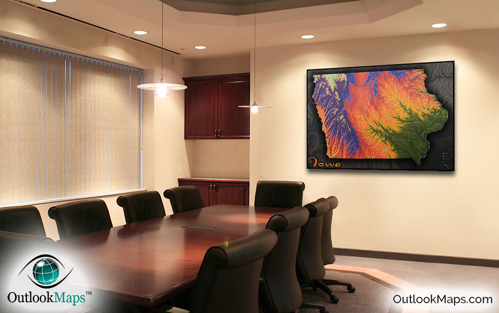
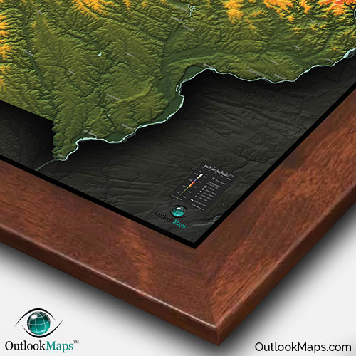
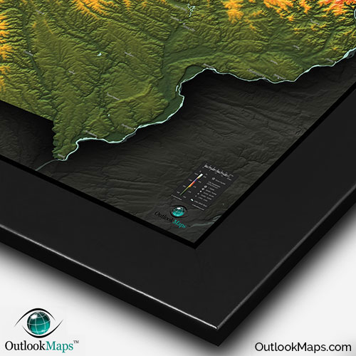
Iowa Colorful Topography Physical Wall Map


(Click images to see full-size)
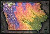
Note: The focus of this map is Iowa's physical terrain. To maintain the artistic appearance, text labels are minimal.
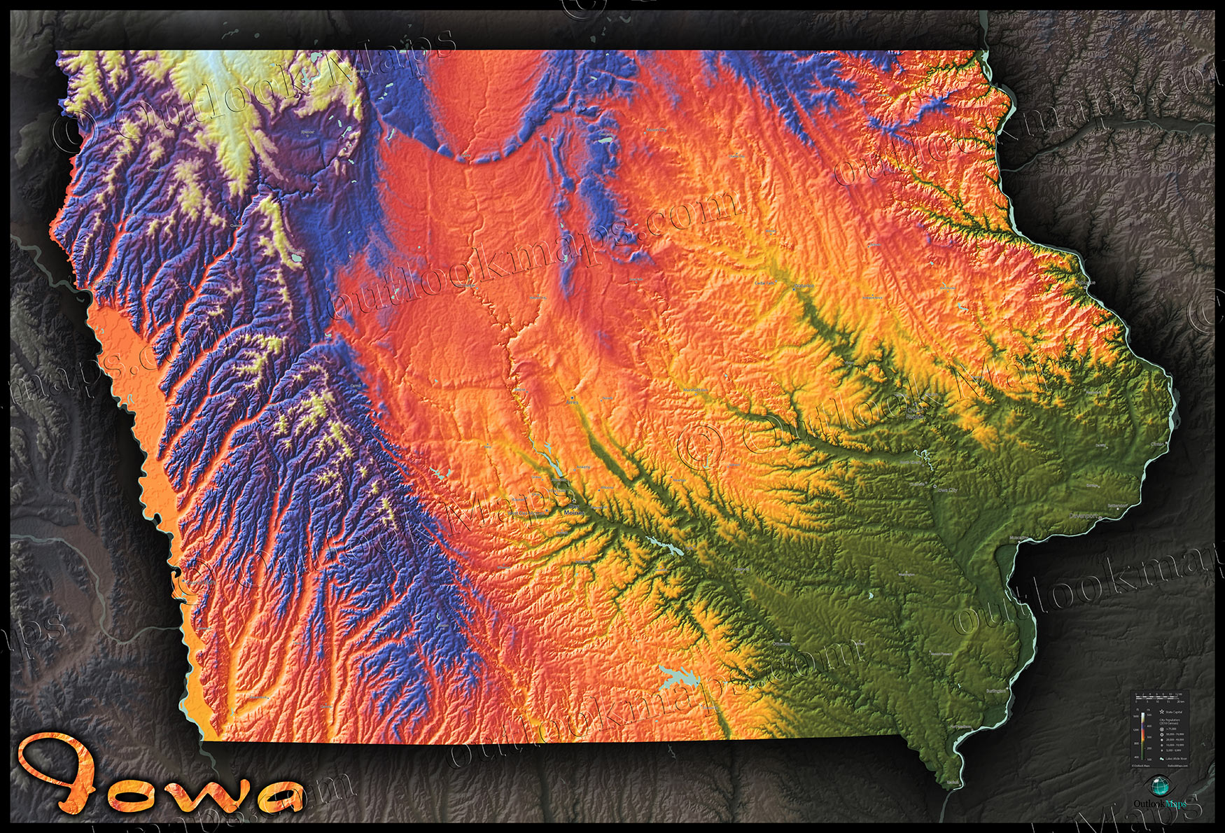
Green colors in this Iowa map indicate the lowest elevation, which in Iowa is along the eastern border of the Mississippi River, and especially in the south east as major rivers such as the Des Moines River, Cedar River, Iowa River, and Skunk River empty into the Mississippi. Many of Iowa's largest towns and cities are located at low elevation, including Des Moines (at least the downtown portion), Davenport, most of the Cedar Rapids area, and Iowa City.
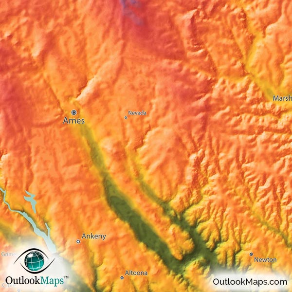
As land gets more elevated toward the interior of the state, colors transition to yellow and orange. This mid-elevation level also exists in the Missouri River valley in the west border of Iowa. Cities found at this mid-level elevation include Sioux City, Waterloo, Ames, and several suburban cities within the Des Moines metro.
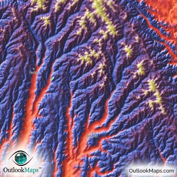
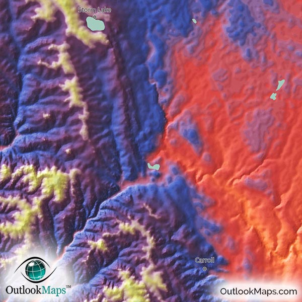
The highest parts of Iowa are shown in blues, purples, and white for the highest points. These high parts of Iowa are especially in the northwest corner, but also high areas run south through nearly the entire western part of the state. The highest point in the state is Hawkeye Point in the far north west near the border with Minnesota. The elevation there is 1,671 ft or 509 m.
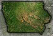
Learn how this Iowa topographic image was created with digital elevation data.
The Iowa landscape is known mostly for it's gently rolling hills and fertile farm land. Being sandwiched between the Mississippi and Missouri Rivers, the landscape is streaked with many smaller rivers and tributaries which flow into those two major rivers, and the river valleys of these small rivers and streams is clearly shown on the map.
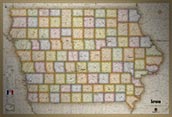
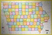
Additionally, major Iowa lakes and reservoirs are shown on this Iowa topographical physical map. Saylorville Lake in the Des Moines area, Lake Red Rock near Pella, Rathbun Lake near Centerville, Coralville Lake just north of Iowa City, as well as Storm Lake and Okoboji Lakes in Northwest Iowa are all displayed in this map.
A total of 80 Iowa cities and towns are labeled.
All major cities like Des Moines, Cedar Rapids, Davenport, Sioux City, Waterloo, Iowa City, and Mason City are shown.
Some of the labeled medium and smaller towns include Burlington, Ankeny, Marion, Johnston, Waukee, Muscatine, Boone, Fort Madison, Carroll, Fairfield, Decorah, Charles City, Atlantic, Maquoketa, Red Oak, Anamosa, Vinton, Manchester, Pella, Pleasant Hill, Perry, Oelwein, Iowa Falls, as well as many others.

Since Outlook Maps is an Iowa company, we take special pride in our Iowa maps, especially this Iowa topographic map. We must admit that we were quite stunned when we first saw this computer generated image. The way the river valleys cut through the landscape and the way the higher lands in the west appear mountainous and rugged really blew us away. Of course, we've always known Iowa is a state full of natural beauty...it was just especially pleasing to see that natural beauty come through in this map.
We're sure that you'll love this Iowa Topographical Wall Map as much as we do, and that it will make a splendid addition to your wall, whether in your home, office, or classroom. The colors and 3-D shading add such a unique perspective to the Iowa landscape, that this map will no doubt draw attention and wonder from anyone who views it.