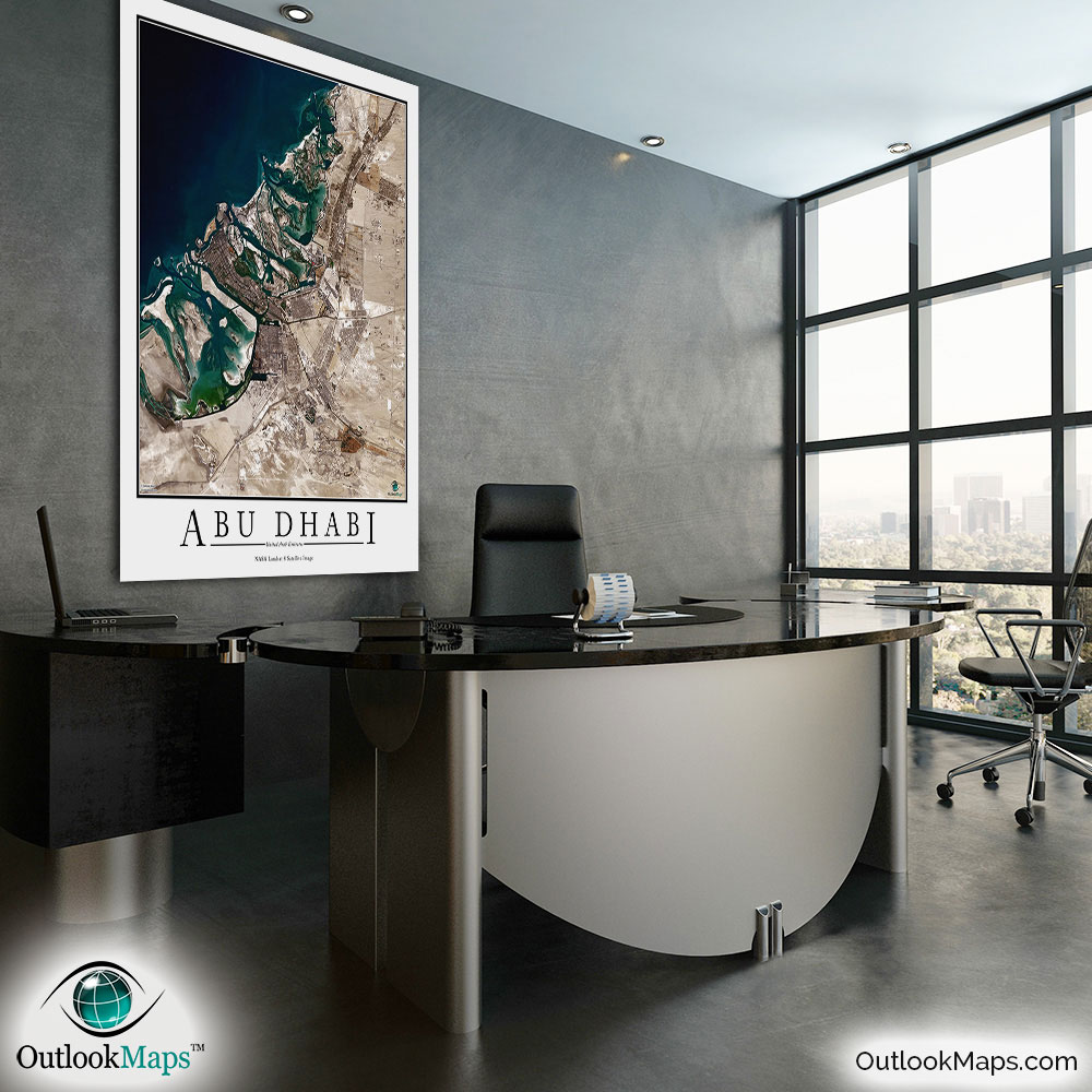
Abu Dhabi Aerial Satellite Map Poster


(Click images to see full-size)
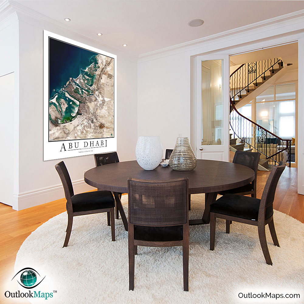
This satellite print of the Abu Dhabi area does not include any additional text or line layers - it is a clean and uncluttered image of Abu Dhabi as seen from space.
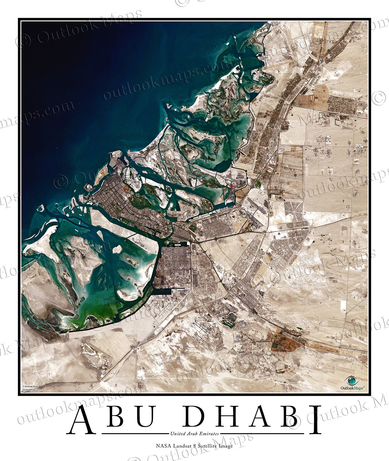
This Abu Dhabi satellite image includes the entire Abu Dhabi area, including suburbs and regions such as Al Bahia, Khalifa City, Al Falah, Musaffah, Al Dhafra, Al Wahba, and Mohammed Bin Zayed City.
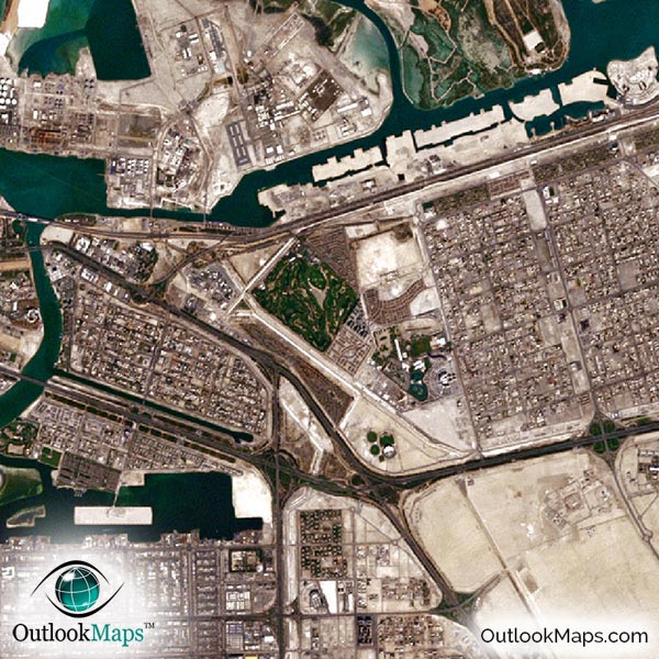
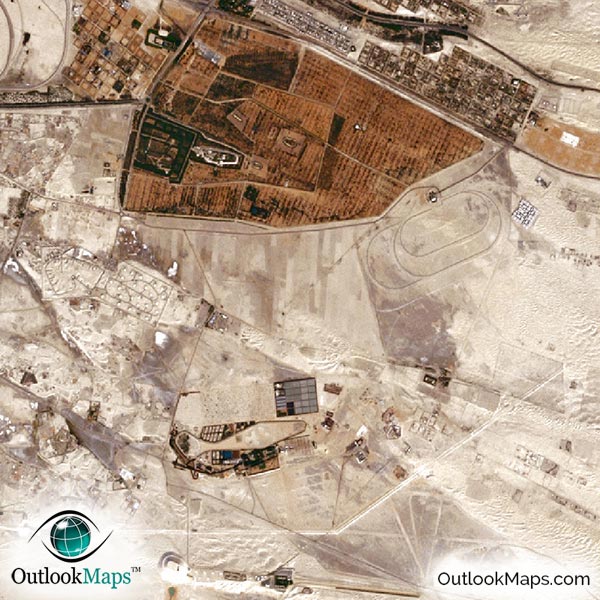
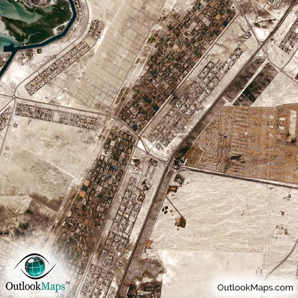
The native resolution of the satellite imagery is 1 px = about 15 meters, which is detailed enough to see large buildings, parks, neighborhoods, major streets, golf courses, and many other features of the city.
Abu Dhabi International Airport is clearly seen and easy to identify. Other smaller airports and military bases in the Abu Dhabi area are also easy to spot.
Abu Dhabi's many skyscrapers are also visible, including The Landmark, Sun and Sky Towers, the Etihad Towers, Nation Towers, and many others.
Other landmarks and buildings like Ferrari World, Sheikh Zayad Bridge, Capital Gate Building, Sheikh Zayed Grand Mosque, Yas Island, Emirates Palace, Khalifa Park, Al Maqtaa Fort, the Zayed Sports City Stadium and others are all visible in this satellite map.
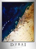
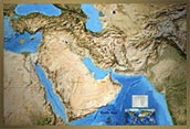
On the Arabian Gulf / Persian Gulf coast and in the heart of the Arabian Desert, the natural area of Abu Dhabi appears stark and beautiful. The many islands, marshes, inlets, and lagoons along the coast and the various shades of brown in the desert are especially interesting in this satellite map.
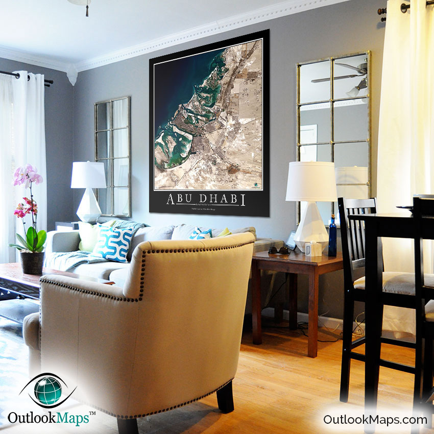
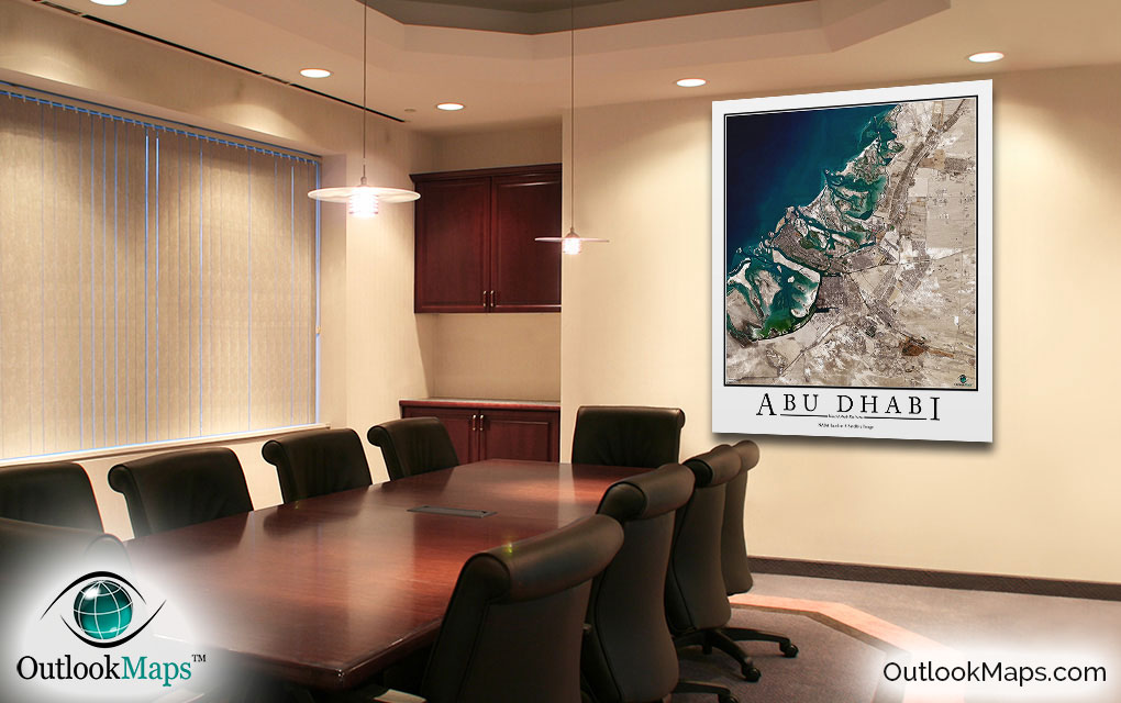
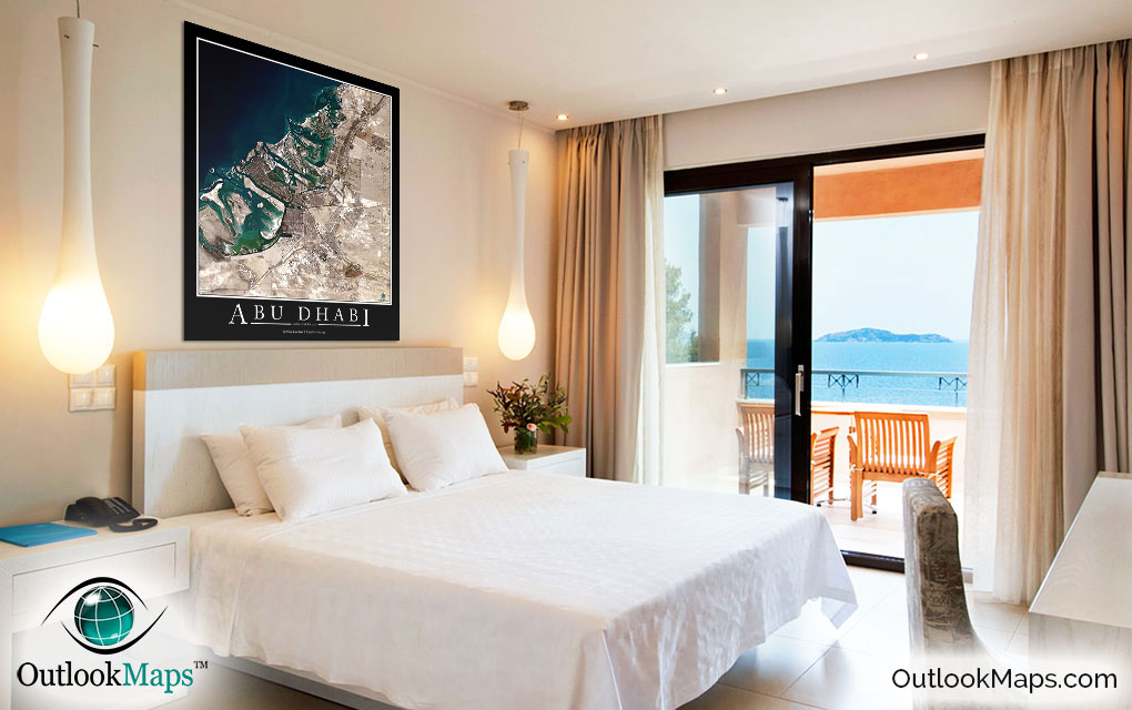
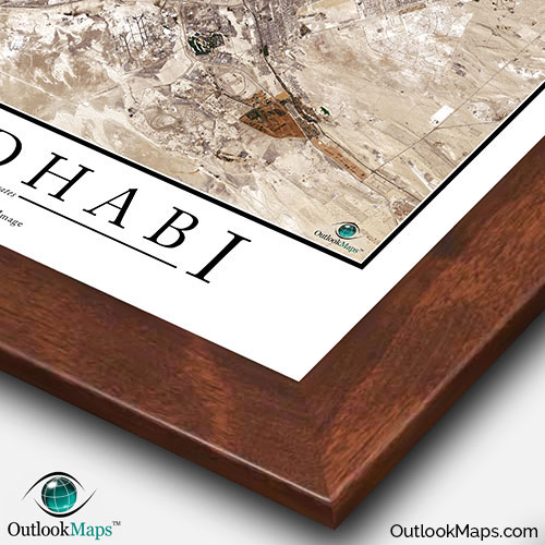
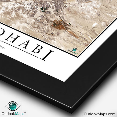
This Abu Dhabi satellite map is styled with a classic poster appearance - a tasteful border around the map and the title ''ABU DHABI'' printed at the bottom with traditional poster font. The print is available with either a white or black background.
The aerial image is detailed enough to look crisp and sharp even when printed at large sizes.
We also offer several framing options, making the map a perfect piece to display on your home, office, or business wall for both functional use and artistic decoration.