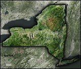
New York City Aerial Satellite Map Poster


(Click images to see full-size)
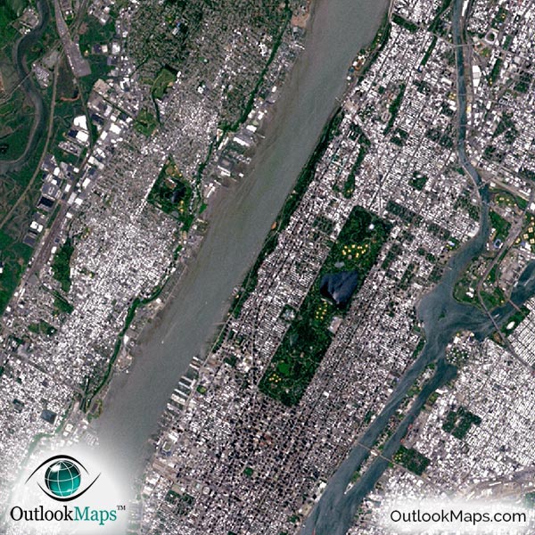
This satellite print of the New York City area does not include any additional text or line layers - it is a clean and uncluttered image of New York City as seen from space.

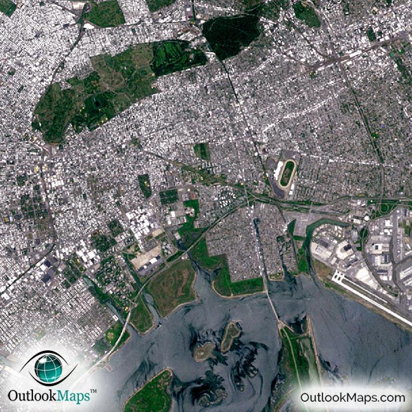
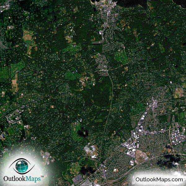
This satellite image includes the entire New York City area, including Yonkers, much of Long Island, and New Jersey cities such as Newark, Elizabeth, and Paterson.
The native resolution of the satellite imagery is 1 px = about 15 meters, which is detailed enough to see large buildings, parks, neighborhoods, major streets, golf courses, and many other features of the city.
You'll find all three major airports (JFK, LaGuardia Airport, and Newark Liberty International) and you'll also find several smaller airports and runways.
In downtown New York, you'll obviously find many of the famous skyscrapers and buildings such as the Empire State Building, Chrysler Building, New York Times Building, and Bank of America Tower.
You'll also be able to find iconic landmarks like Liberty Island (home of the Statue of Liberty), Ellis Island, Governors Island, Times Square, the Brooklyn Bridge, and the Bronx Zoo.
You can also identify the 5 boroughs in the aerial image: Manhattan, The Bronx, Brooklyn, Queens, and Staten Island.
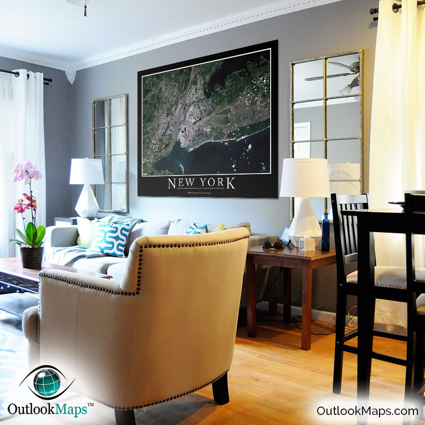
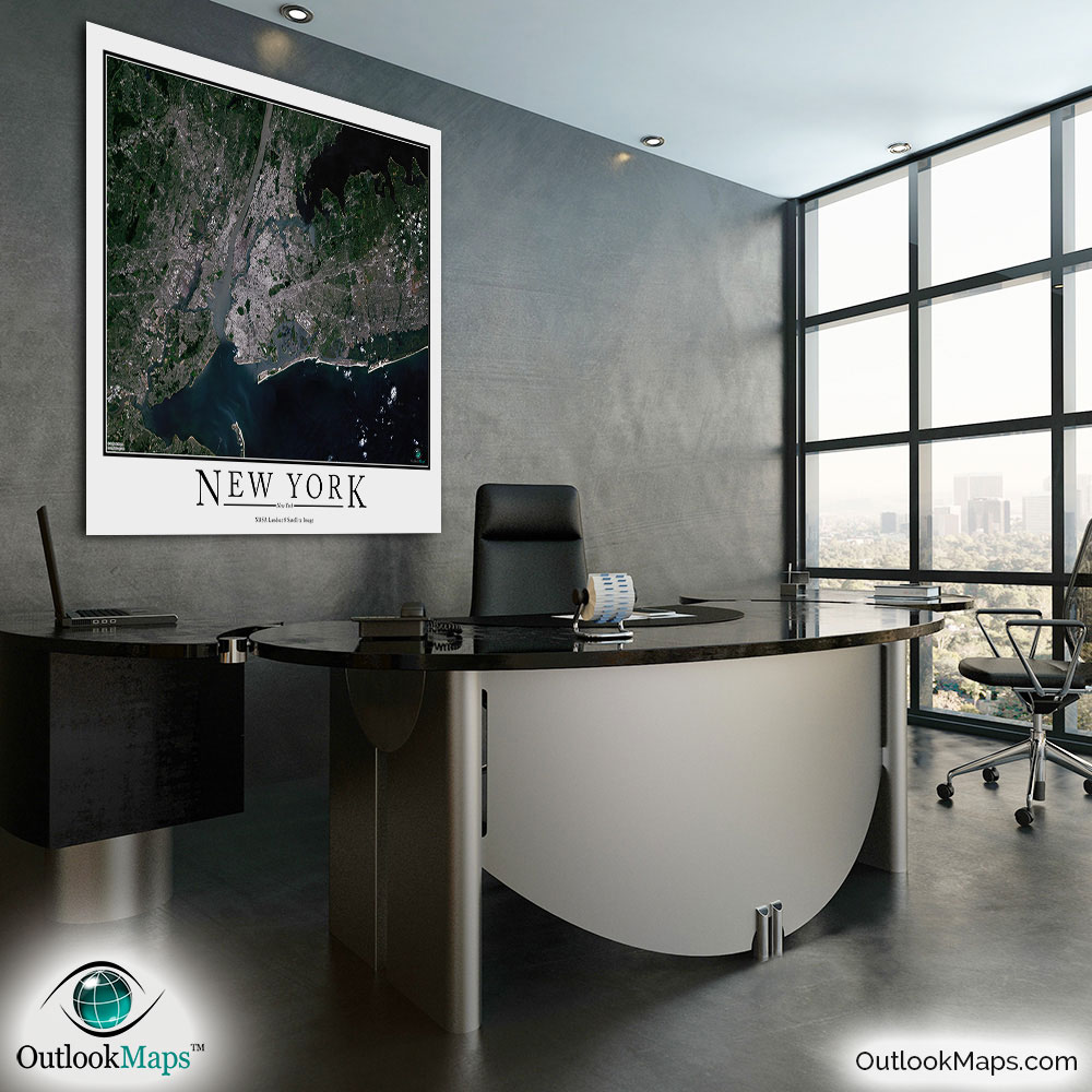
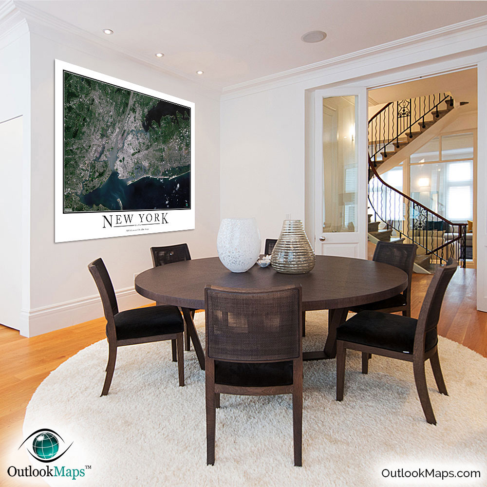
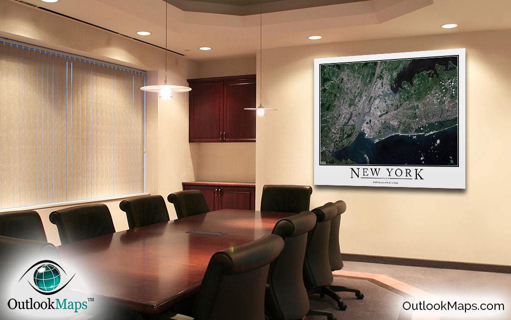
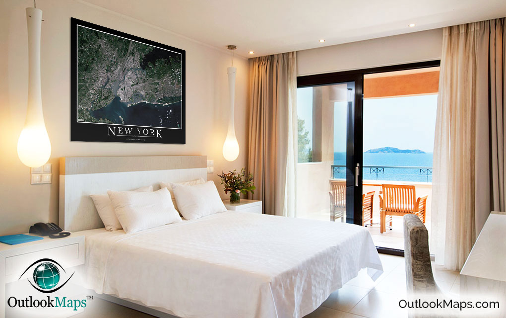
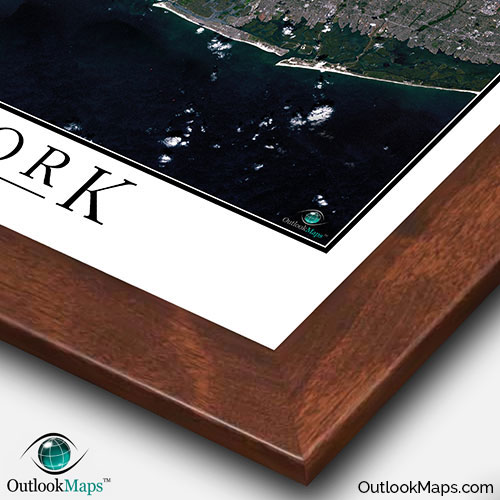
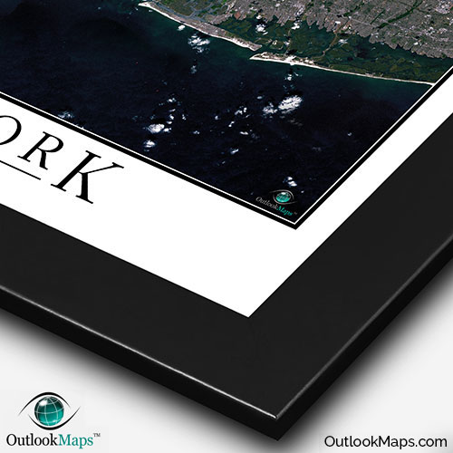
This New York City Area satellite map is styled with a classic poster appearance - a tasteful border around the map and the title ''NEW YORK CITY'' printed at the bottom with traditional poster font. The print is available with either a white or black background.
The aerial image is detailed enough to look crisp and sharp even when printed at large sizes.
We also offer several framing options, making the map a perfect piece to display on your home, office, or business wall for both functional use and artistic decoration.