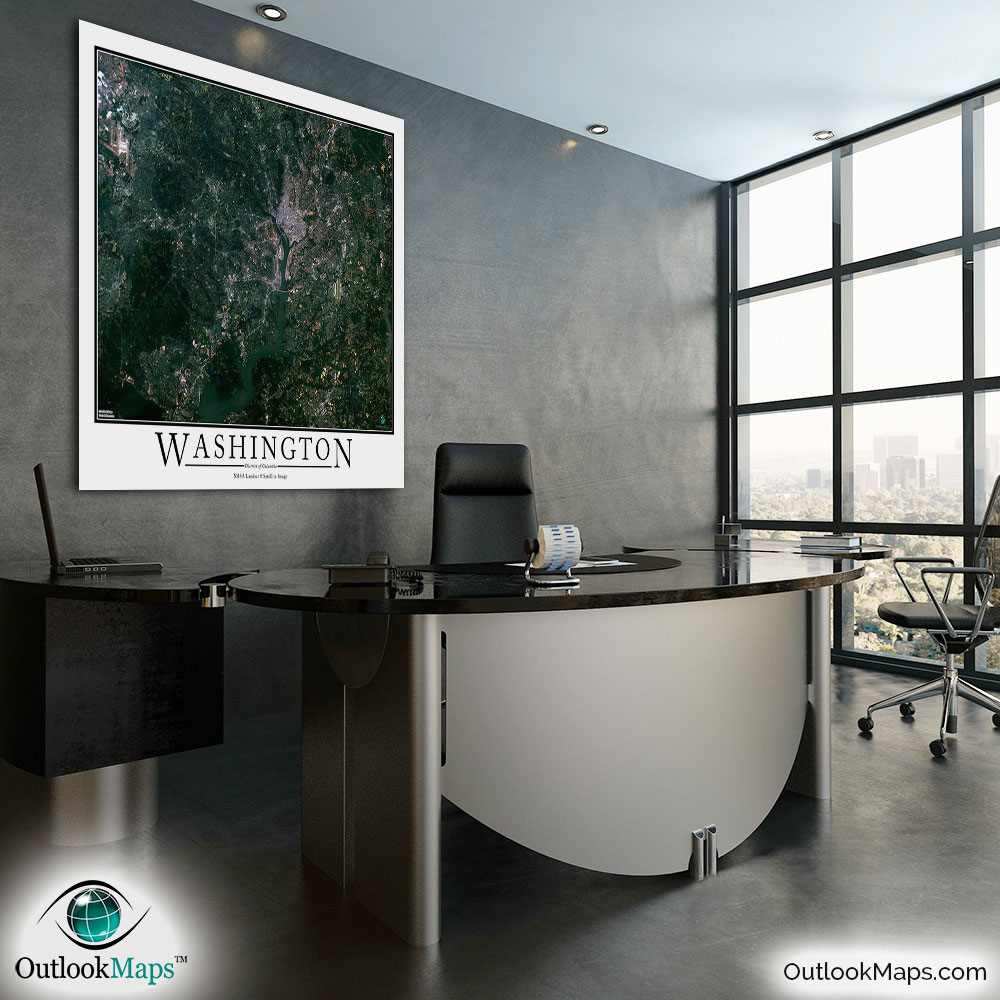
Washington, D.C. Aerial Satellite Map Poster


(Click images to see full-size)
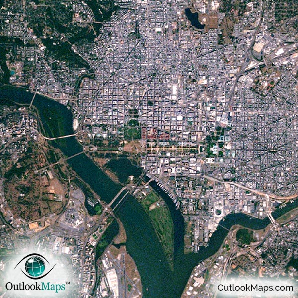
This satellite print of the Washington DC area does not include any additional text or line layers - it is a clean and uncluttered image of Washington DC as seen from space.
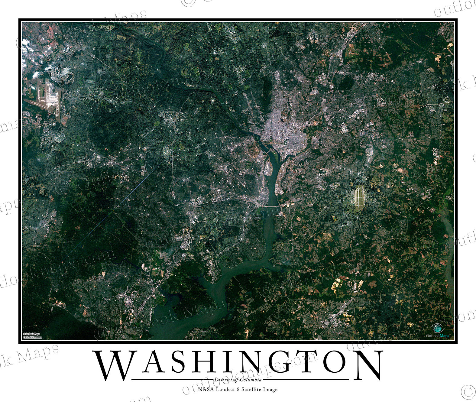
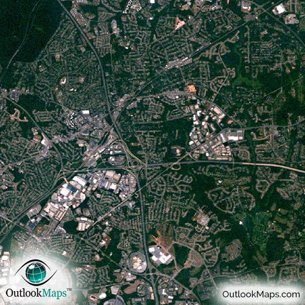
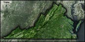
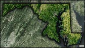
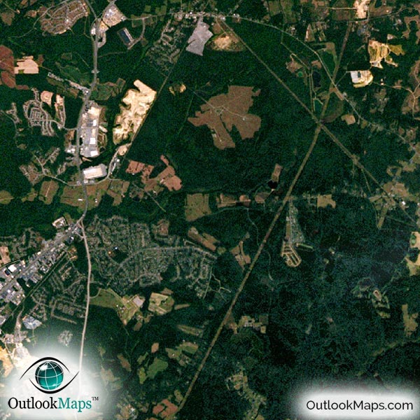
This aerial satellite image includes the greater Washington, D.C. area and includes most of the populated areas of northern Virginia and nearby areas of Maryland. Cities like Alexandria, Silver Spring, Arlington, and Bethesda are all shown in the image.
The native resolution of the satellite imagery is 1 px = about 15 meters, which is detailed enough to see large buildings, parks, neighborhoods, major streets, golf courses, and many other features of the city.
Both Washington Dulles International Airport and Reagan National Airport are shown in the map and easy to identify. You'll also find several other smaller airports and runways, for both commercial and military use.
In central Washington, you'll clearly see the National Mall area and all the iconic buildings and monuments like the Washington Monument, U.S. Capitol Building, White House, Lincoln Memorial, Jefferson Memorial, Smithsonian Institution, John F. Kennedy Center for the Performing Arts, Supreme Court Building, National Gallery of Art, Library of Congress, and many others.
You'll also find Arlington National Cemetery and various parks like East Potomac Park.
The image also highlights the natural appearance of the Washington Area. Much of the land is forested, and appears a dark green in the image. The Potomac River is the most prominent water feature, and the river has a greenish blue appearance.
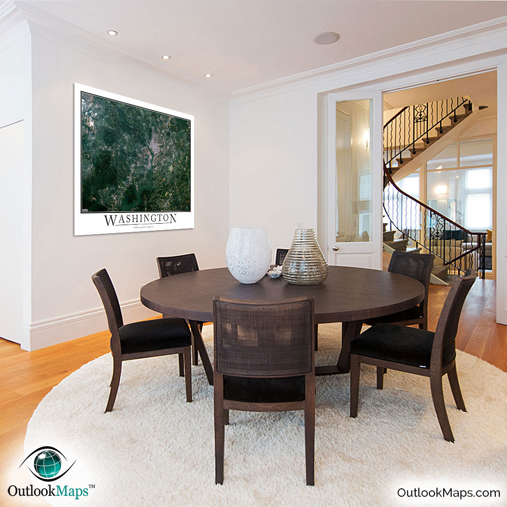
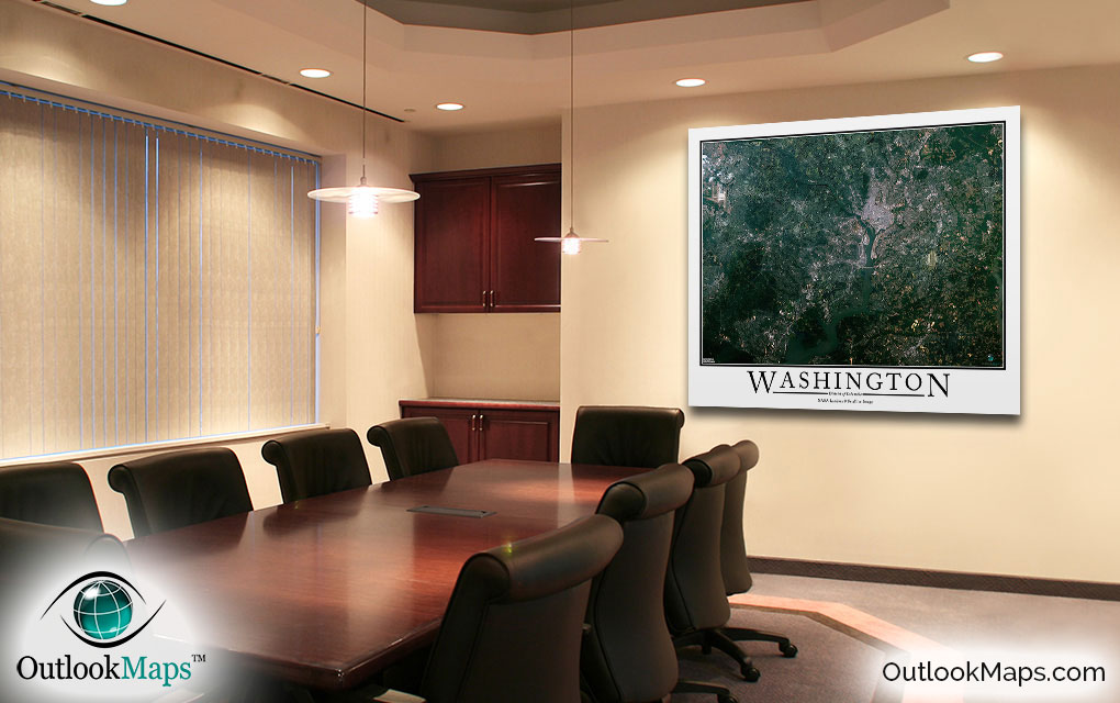
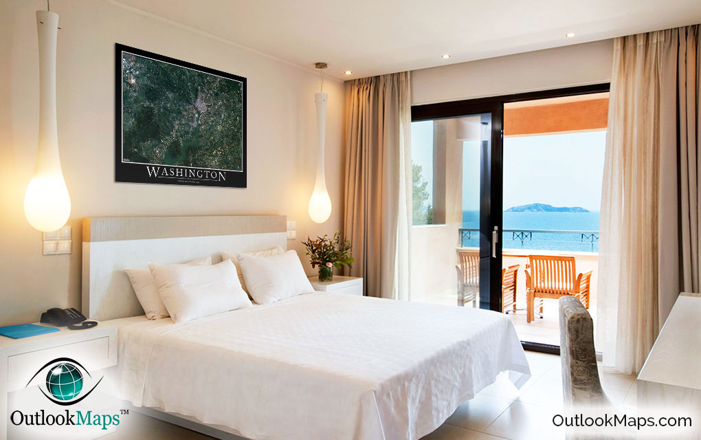
This Washington, D.C. Area satellite map is styled with a classic poster appearance - a tasteful border around the map and the title ''WASHINGTON, District of Columbia'' printed at the bottom with traditional poster font. The print is available with either a white or black background.
The aerial image is detailed enough to look crisp and sharp even when printed at large sizes.
We also offer several framing options, making the map a perfect piece to display on your home, office, or business wall for both functional use and artistic decoration.