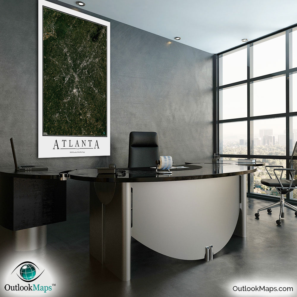
Atlanta Aerial Satellite Map Poster


(Click images to see full-size)
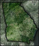
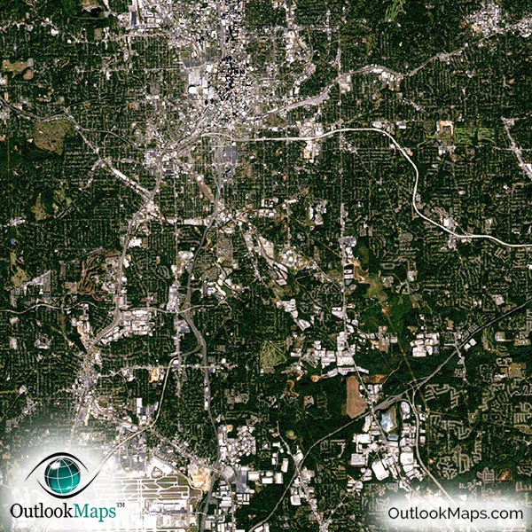
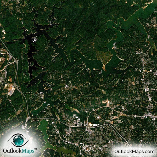
This satellite print of the Atlanta area does not include any additional text or line layers - it is a clean and uncluttered image of Atlanta as seen from space.
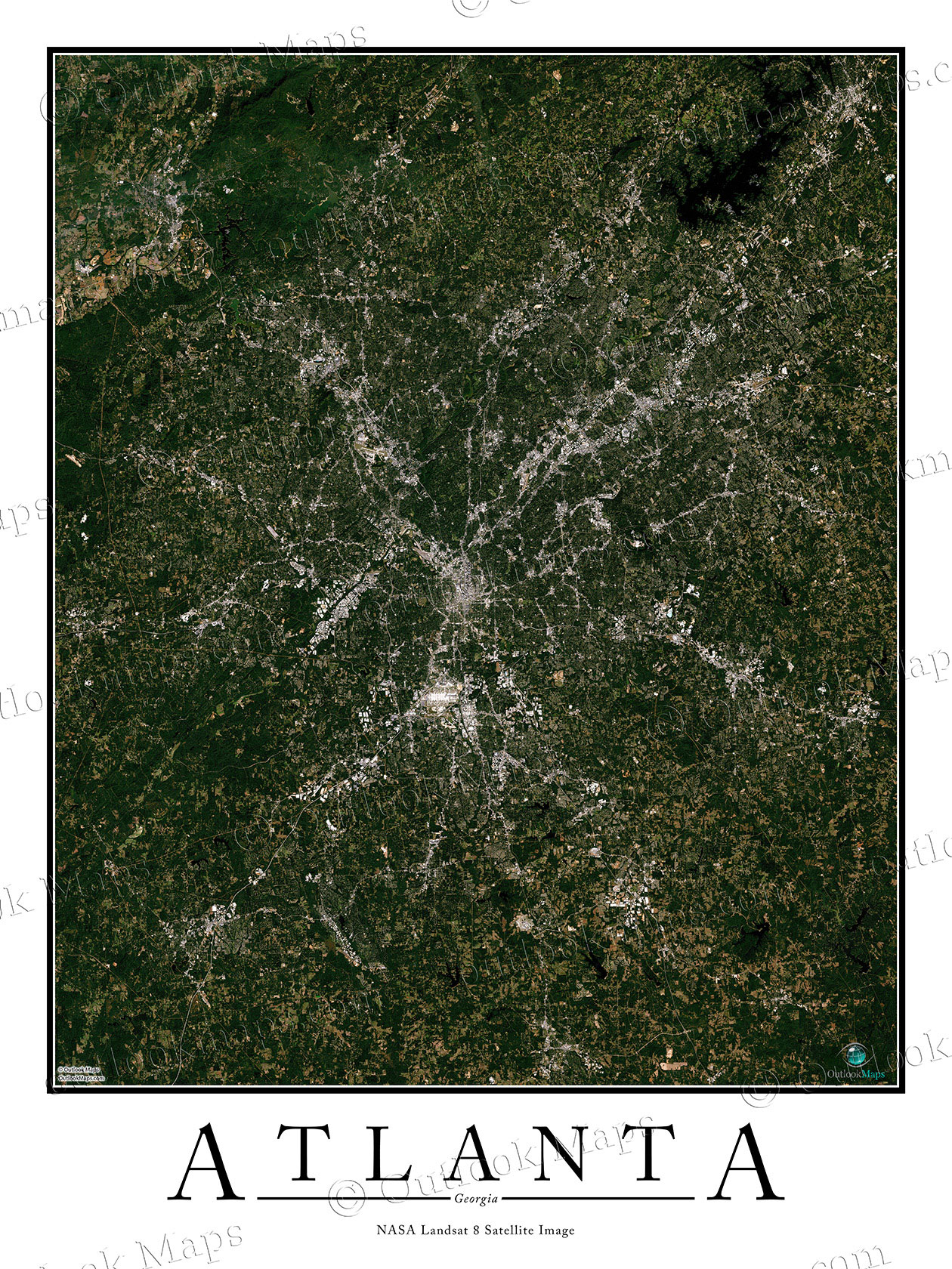
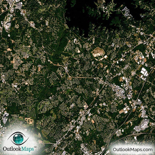
This satellite image includes the entire Atlanta area. Suburbs, such as Sandy Springs, Roswell, Johns Creek, Marietta, Alpharetta, Douglasville, Ellenwood, Tucker, Acworth, Duluth, Newnan, McDonough, Conyers, and Covington are also shown.
The native resolution of the satellite imagery is 1 px = about 15 meters, which is detailed enough to see large buildings, parks, neighborhoods, major streets, golf courses, and many other features of the city.
Atlanta's Hartsfield-Jackson International Airport, one of the busiest airport in the world, is easy to see. You can also find smaller regional airports in the Atlanta area.
Atlanta's many skyscrapers, including the Bank of America Plaza, SunTrust Plaza, 191 Peachtree Tower, One Atlantic Center, Westin Peachtree Plaza, and many others are all visible in the map.
You can also find several famous Atlanta landmarks. The Georgia Capitol Building, Georgia Tech University, Georgia World Congress Center, the Georgia Aquarium, and Centennial Olympic Park. Sporting venues such as the Georgia Dome, Turner Field, and Philips Arena are also visible.
Most of Atlanta's natural land is forested, and appears dark green in the satellite image. Lake Sidney Lanier is visible in the northeast corner of the map, and many smaller lakes and rivers can be found in the image.
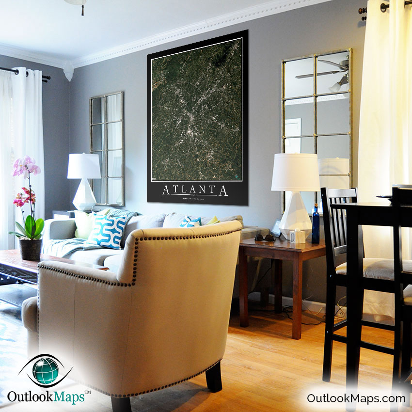
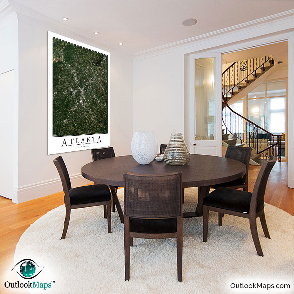
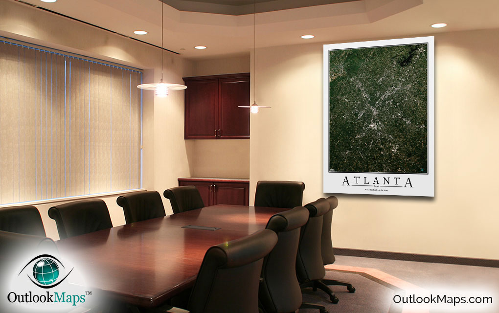
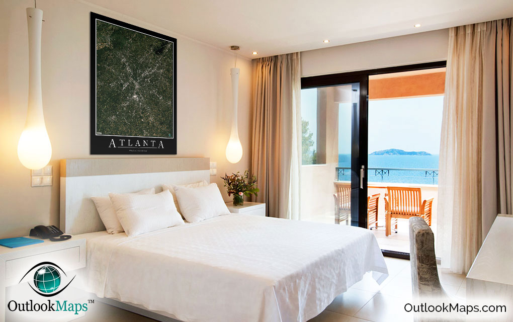
This Atlanta Area satellite map is styled with a classic poster appearance - a tasteful border around the map and the title ''ATLANTA'' printed at the bottom with traditional poster font. The print is available with either a white or black background.
The aerial image is detailed enough to look crisp and sharp even when printed at large sizes.
We also offer several framing options, making the map a perfect piece to display on your home, office, or business wall for both functional use and artistic decoration.