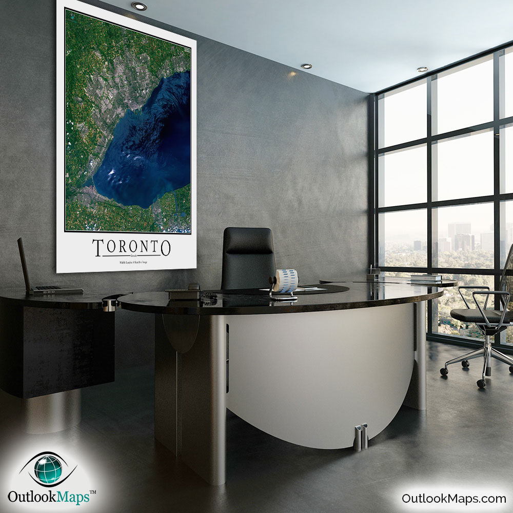
Toronto Aerial Satellite Map Poster


(Click images to see full-size)
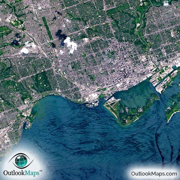
This satellite print of the Toronto area does not include any additional text or line layers - it is a clean and uncluttered image of Toronto as seen from space.
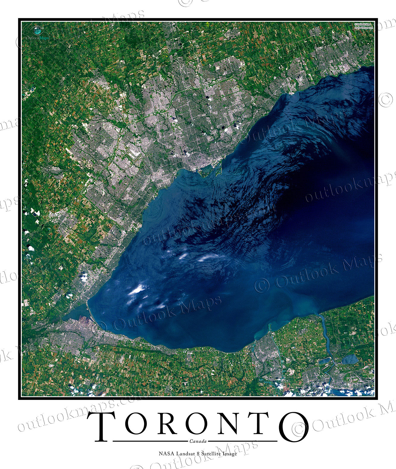
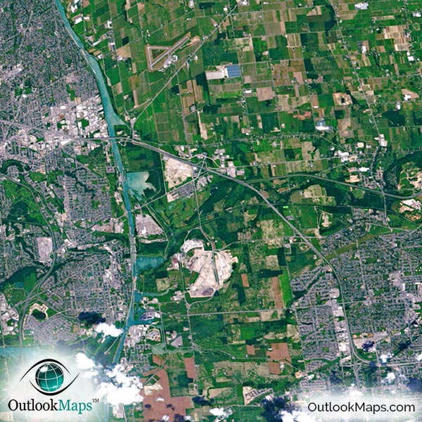
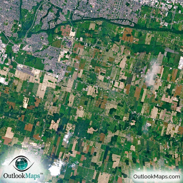
This aerial satellite image of Toronto includes the entire region of the western corner of Lake Ontario. Cities such as St. Catharines, Hamilton, Mississauga, Brampton, Vaughan, and Markham are all included. The image also just catches Niagara Falls in the bottom-right corner.
The native resolution of the satellite imagery is 1 px = about 15 meters, which is detailed enough to see large buildings, parks, neighborhoods, major streets, golf courses, and many other features of the city.
Both of Toronto's main airports, Toronto Pearson International Airport and Billy Bishop Toronto City Airport, are easy to identify in the image. You'll also find several smaller airports and runways in the image.
Downtown Toronto is characterized by large buildings and skyscrapers. The tallest skyscrapers are First Canadian Place, Trump International Hotel and Tower, and Scotia Plaza.
You'll also be able to make out famous Toronto attractions and landmarks like the CN Tower, Toronto Zoo, Rogers Centre (SkyDome), St. Lawrence Market, the Toronto Islands, and several university campuses like University of Toronto, York University, Ryerson University and more.
This image also highlights the natural aspects of the Toronto area. Lake Ontario is a deep blue and most of the lands are shades of green. Land outside of the city contains both forested areas and agriculture lands - you can see individual crop fields.
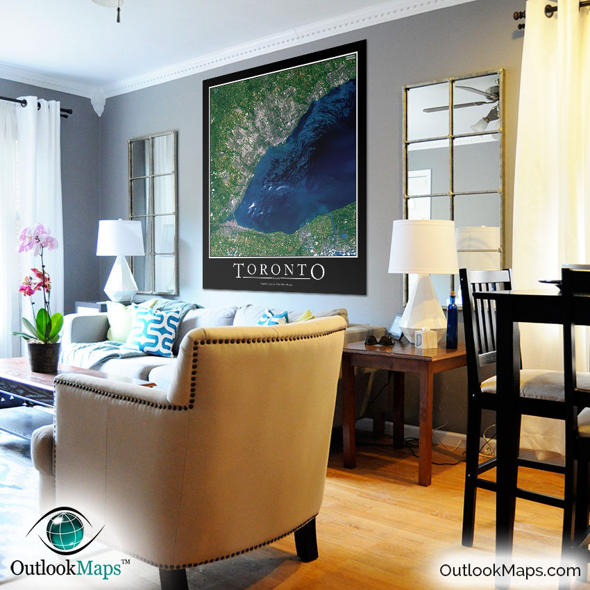
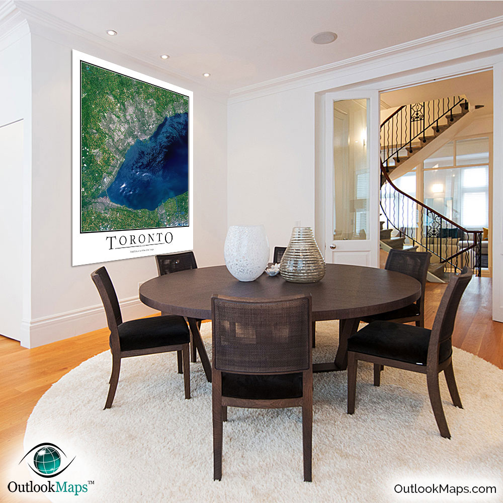
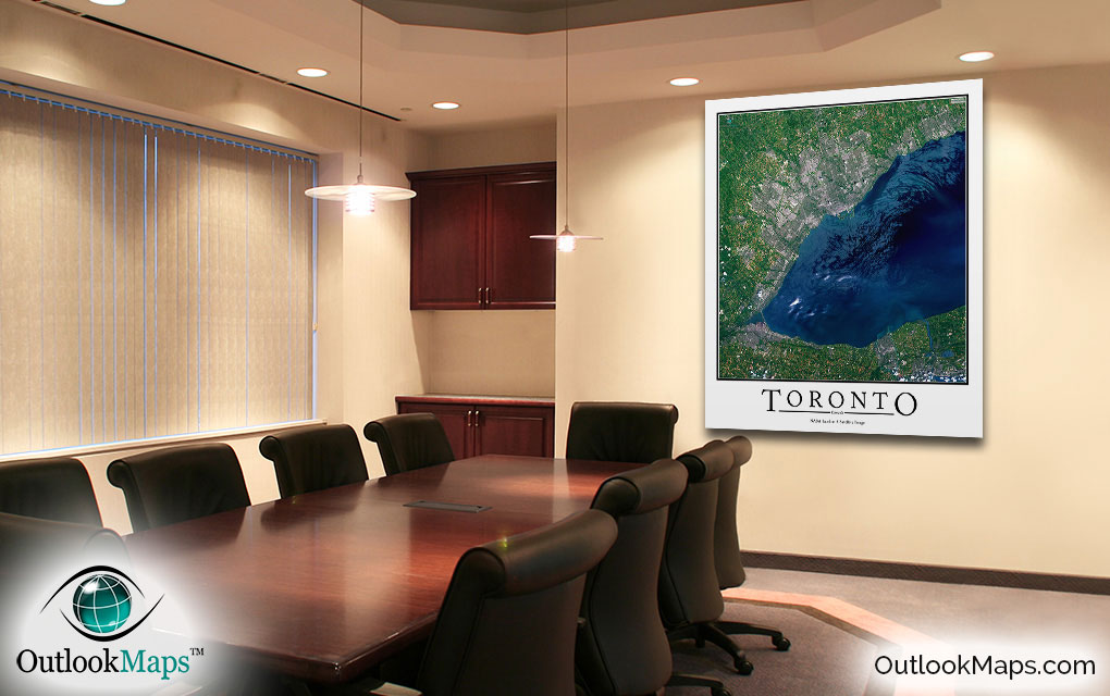
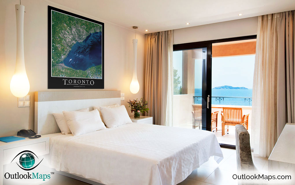
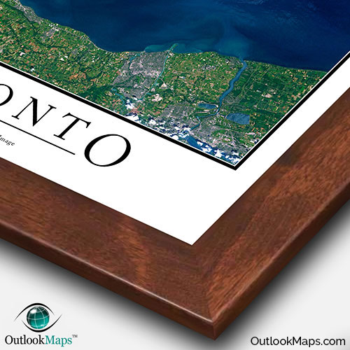
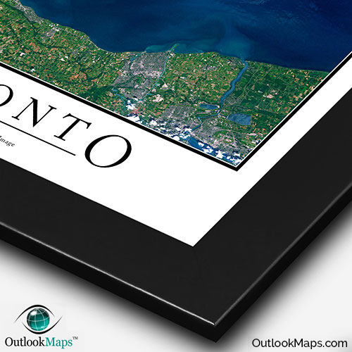
This Toronto satellite map is styled with a classic poster appearance - a tasteful border around the map and the title ''TORONTO'' printed at the bottom with traditional poster font. The print is available with either a white or black background.
The aerial image is detailed enough to look crisp and sharp even when printed at large sizes.
We also offer several framing options, making the map a perfect piece to display on your home, office, or business wall for both functional use and artistic decoration.