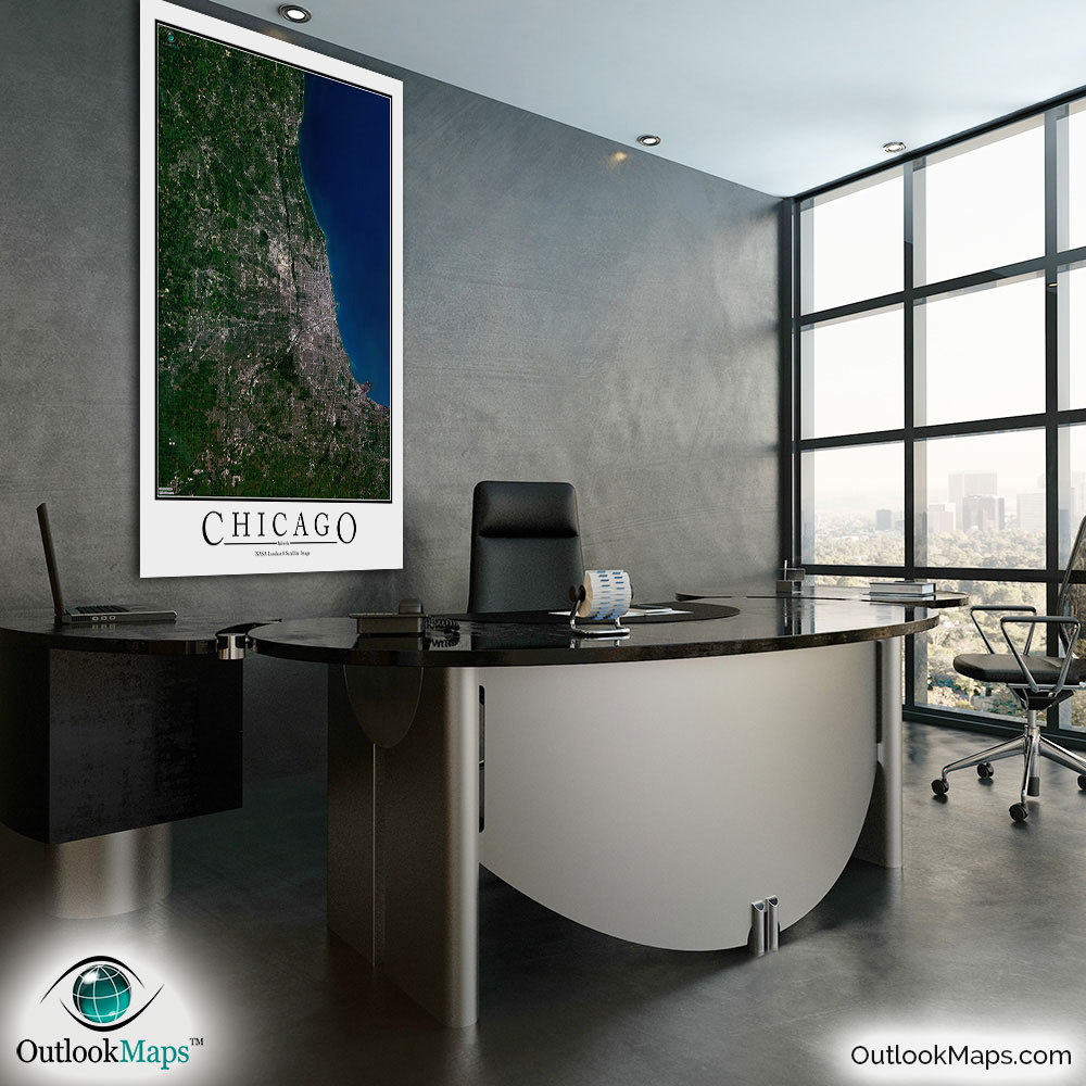
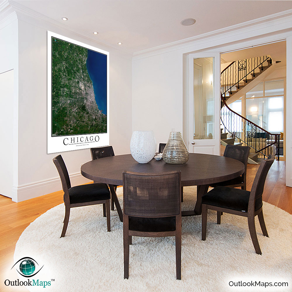
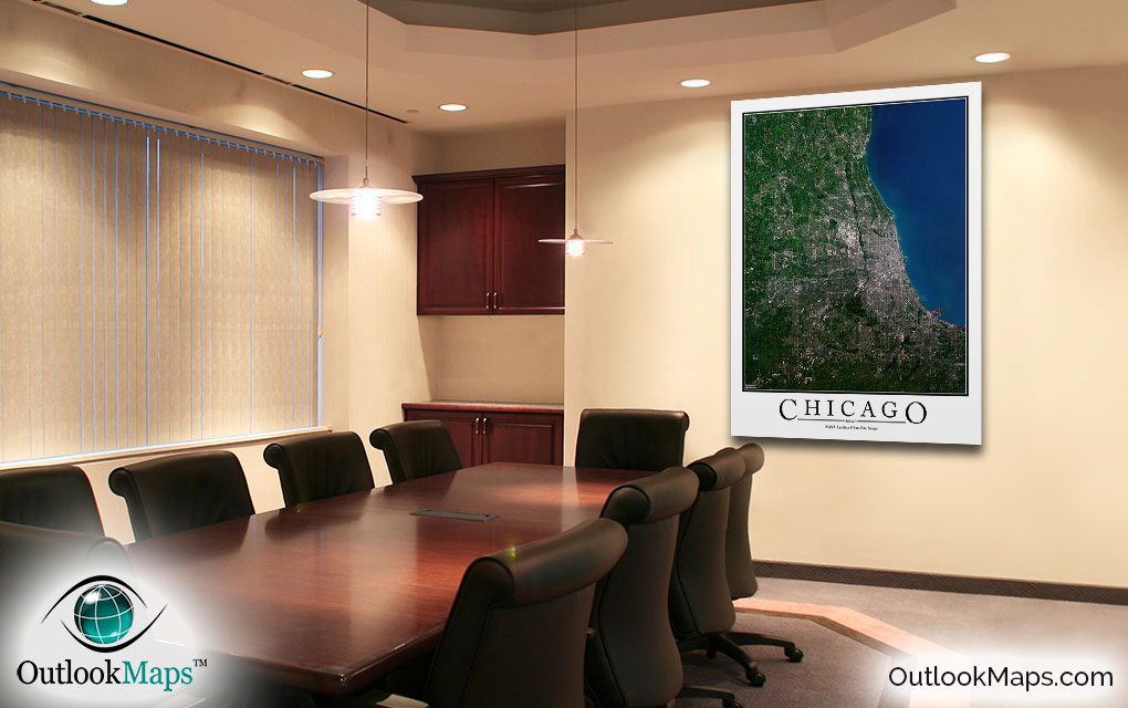
Chicago Aerial Satellite Map Poster


(Click images to see full-size)
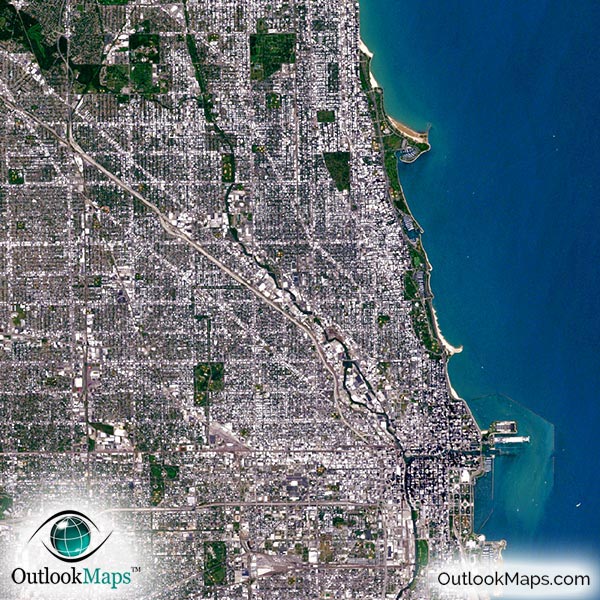
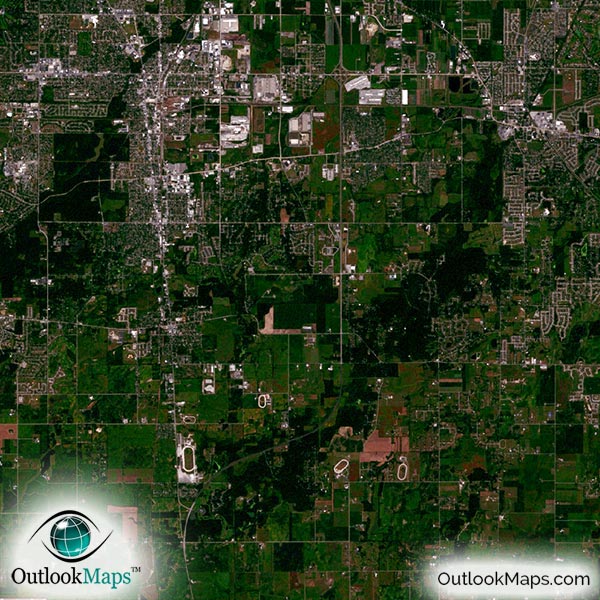
This satellite print of the Chicago area does not include any additional text or line layers - it is a clean and uncluttered image of Chicago as seen from Space.
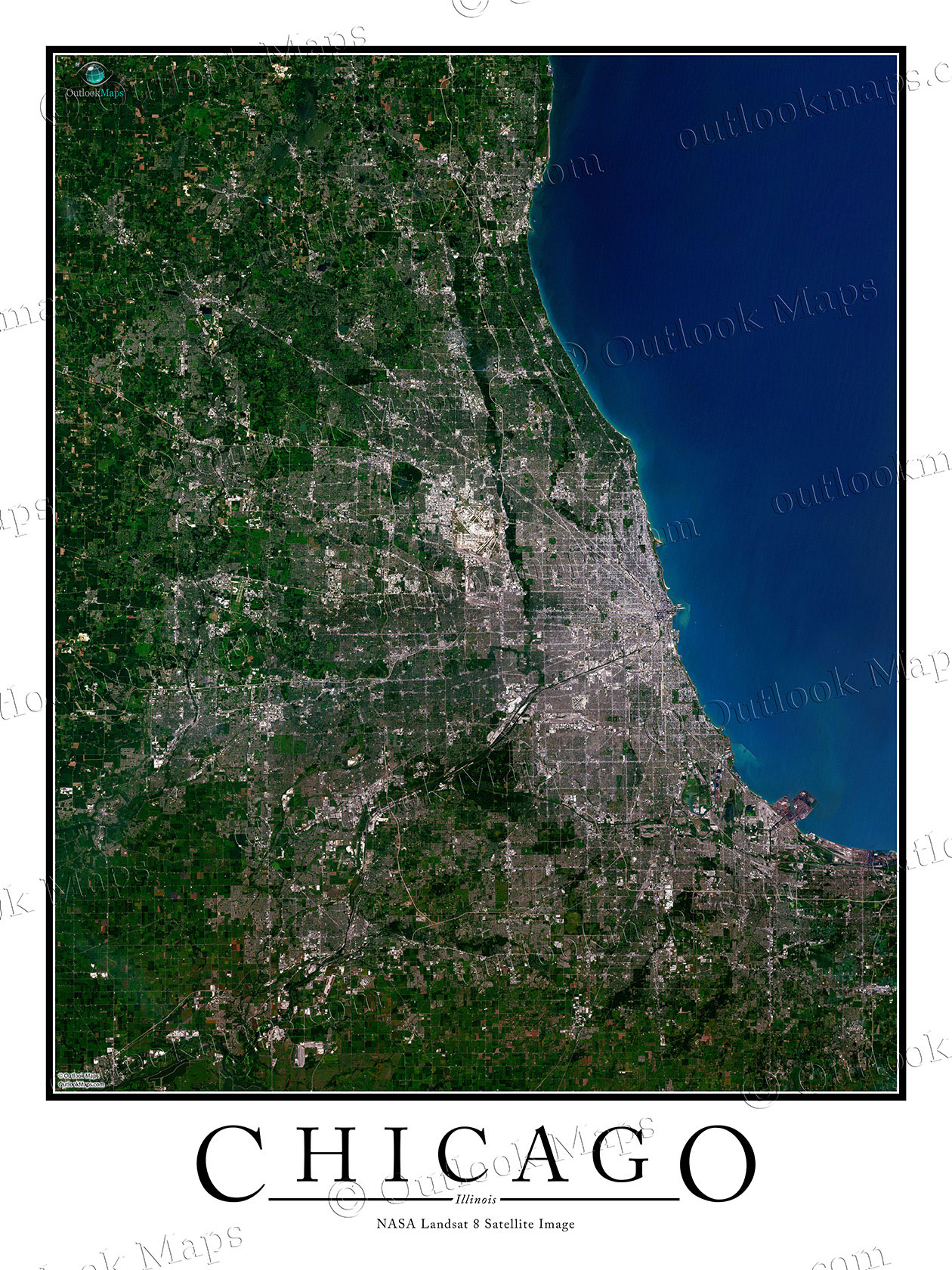
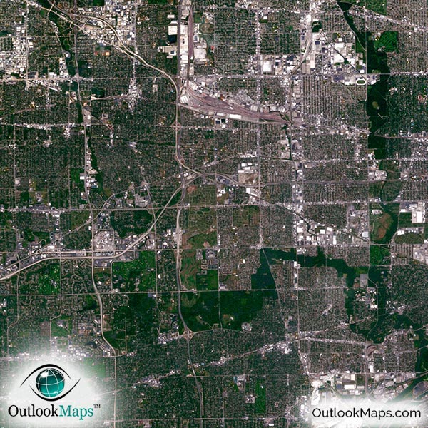
This satellite aerial view of Chicago is produced at a high resolution (1 pixel represents just 15 meters). At this high resolution, you'll be able to point out parks, lakes, highways, airports, neighborhoods, and even individual large buildings.
Many well known landmarks and places in Chicago are visible in this print. Some of the buildings you'll see include the Sears Tower (Willis Tower), Mariana City Towers, John Hancock Center, Merchandise Mart, and many others. You'll also be able to see iconic landmarks like the Buckingham Fountain in Grant Park, Millennium Park, Lake Shore Drive, and Navy Pier. Sporting venues like Soldier Field, Wrigley Field, and Comiskey Park are also visible. Of course, the major airports of O'Hare and Midway will be visible, but many smaller airports can be seen as well.
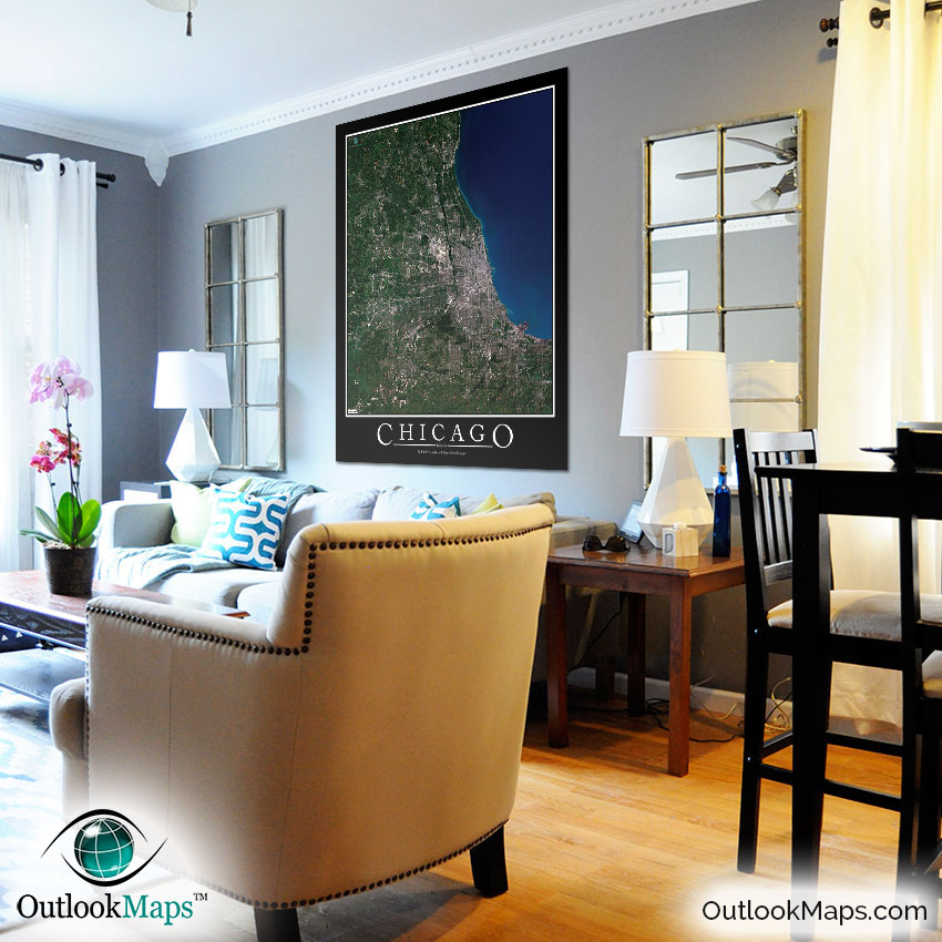
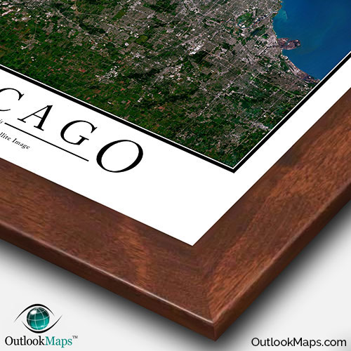
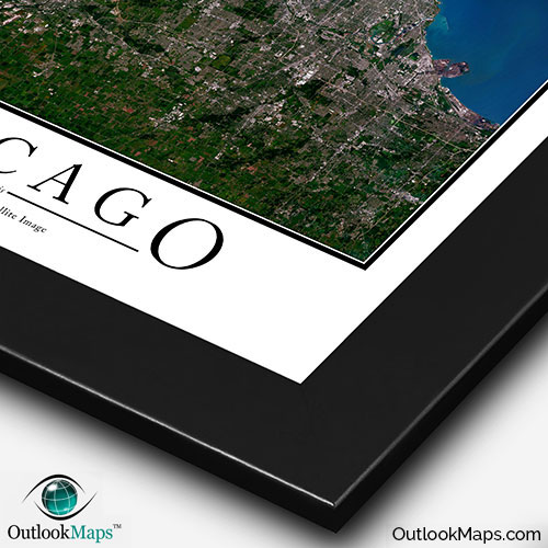
The styling of this satellite image is perfectly suited to be displayed on your wall as a poster or print. The outline of the image and text of the word "CHICAGO" is prepared specifically to provide that classic poster appearance, that will look great on your wall.
We also offer many different finishing options, including several styles of frames to give this print a high-end look, great for displaying in an office, home, or business. It also makes a great gift or souvenir.
The Chicago map can also be a useful tool, helping you and others to identify the locations of Chicago places.
However you use this printed satellite map of Chicago, you can be sure it will provide a detailed aerial view of Chicago, and be a treasured piece to display on your wall for years to come.