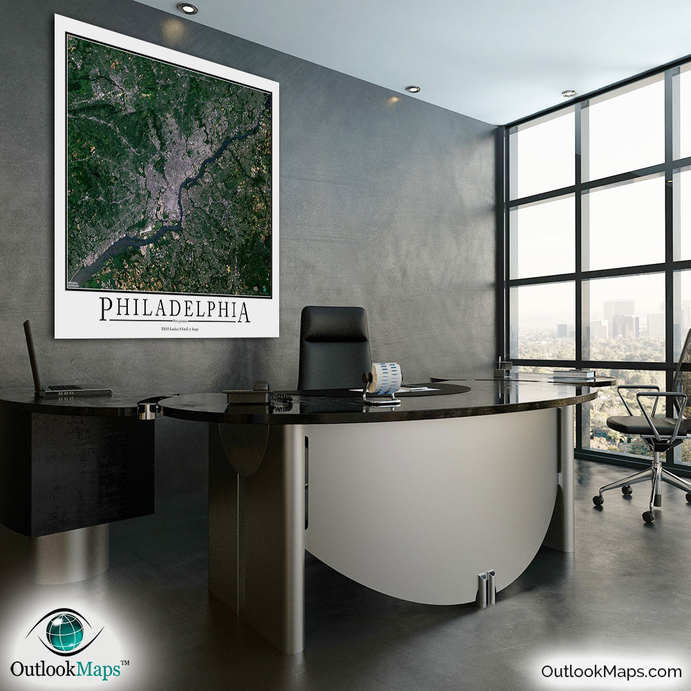
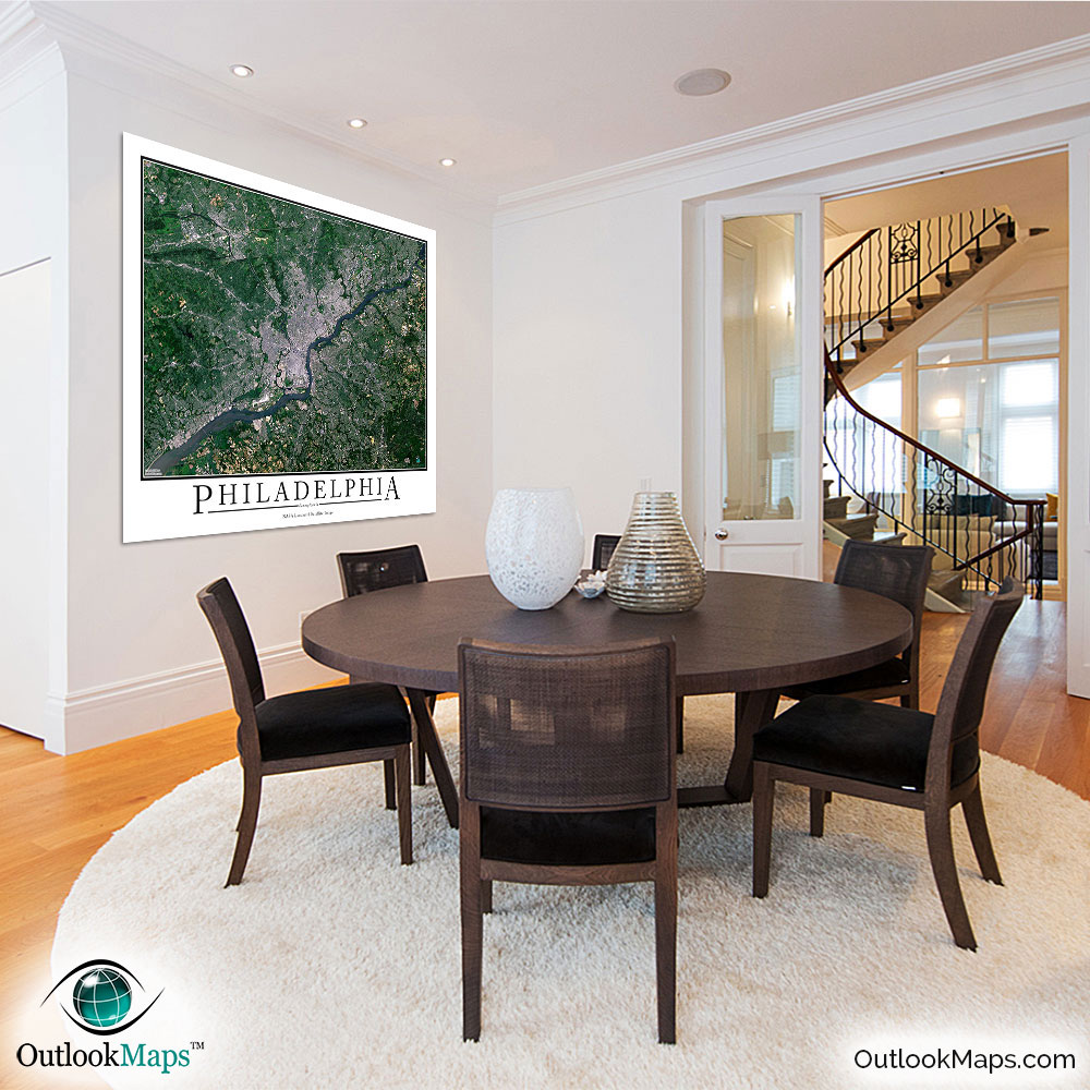
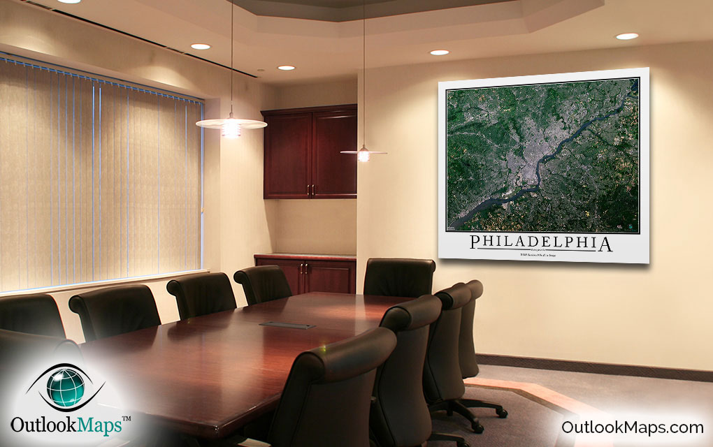
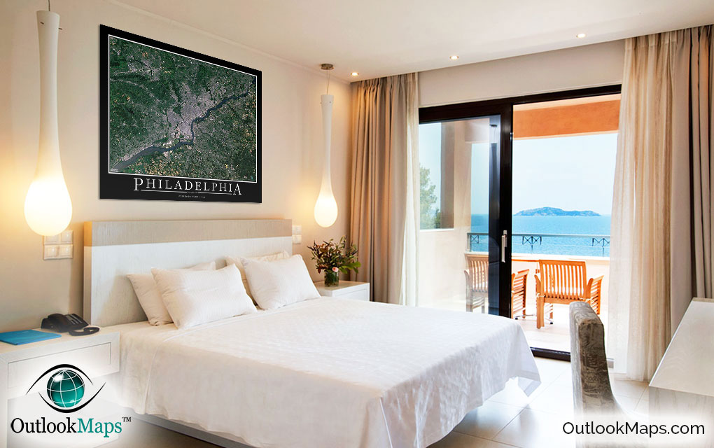
Philadelphia Aerial Satellite Map Poster


(Click images to see full-size)
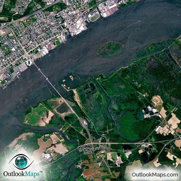
This satellite print of the Philadelphia area does not include any additional text or line layers - it is a clean and uncluttered image of Philadelphia as seen from space.
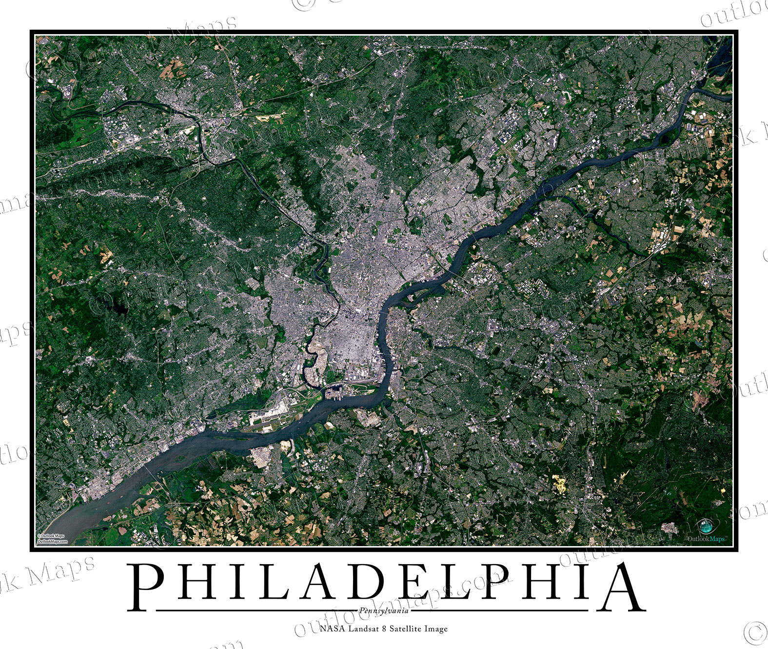
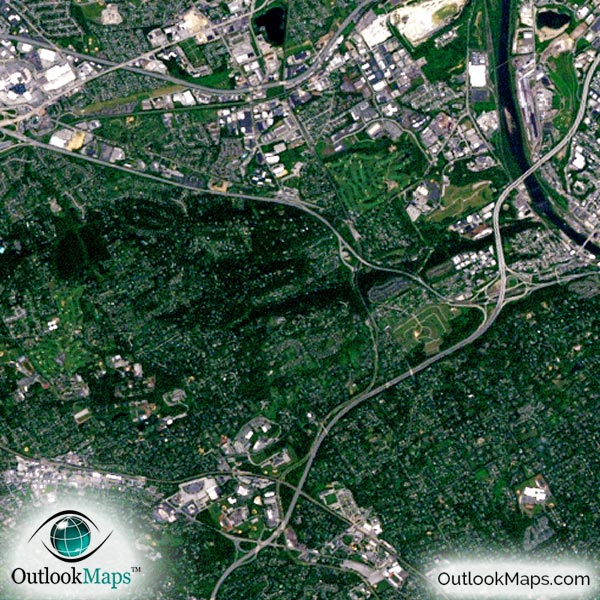
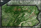
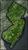
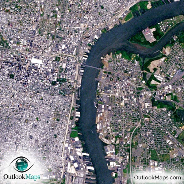
This aerial satellite image includes the entire Philadelphia area. Smaller cities and suburbs such as Norristown, Chester, Woodbury, Cheltenham, and others are also included in the map.
The native resolution of the satellite imagery is 1 px = about 15 meters, which is detailed enough to see large buildings, parks, neighborhoods, major streets, golf courses, and many other features of the city.
Philadelphia International Airport is one of the most prominent landmarks in the image. You also be able to find several other smaller airports and runways.
In downtown Philly, you'll see the many large buildings and skyscrapers, including the tallest buildings like Comcast Center, One and Two Liberty Place, and BNY Mellon Center.
You'll also find landmarks like Independence Hall, the Philadelphia Zoo, the Philadelphia Museum of Art, and the complex of sporting venues including Lincoln Financial Field, Citizens Bank Park Stadium, and the Wells Fargo Center.
Natural features in the Philadelphia area are also shown, including the Delaware River, Schuylkill River, and numerous other ponds, creeks, forests, and agriculture fields.
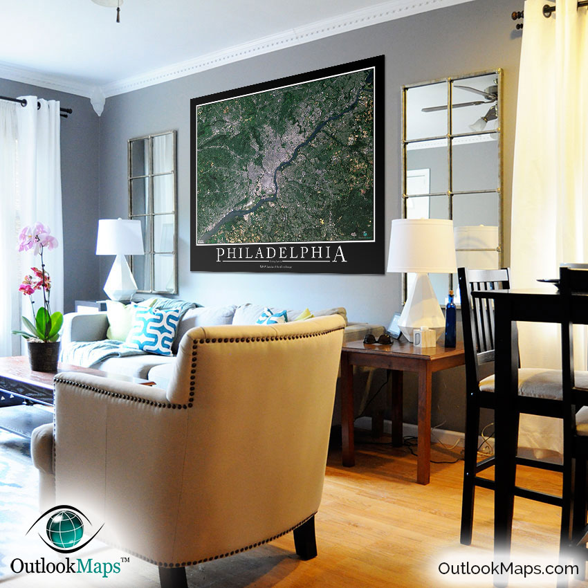
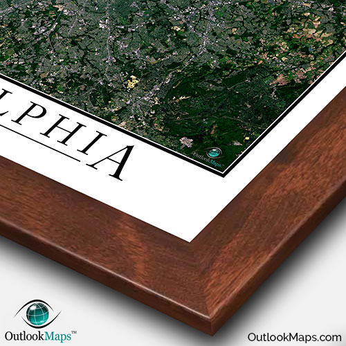
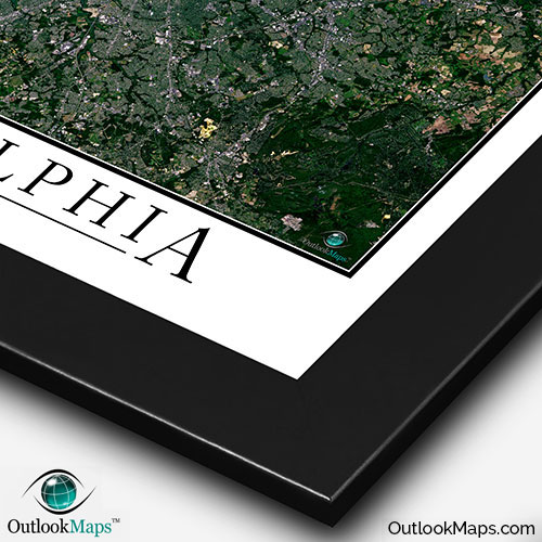
This Philadelphia Area satellite map is styled with a classic poster appearance - a tasteful border around the map and the title ''PHILADELPHIA'' printed at the bottom with traditional poster font. The print is available with either a white or black background.
The aerial image is detailed enough to look crisp and sharp even when printed at large sizes.
We also offer several framing options, making the map a perfect piece to display on your home, office, or business wall for both functional use and artistic decoration.