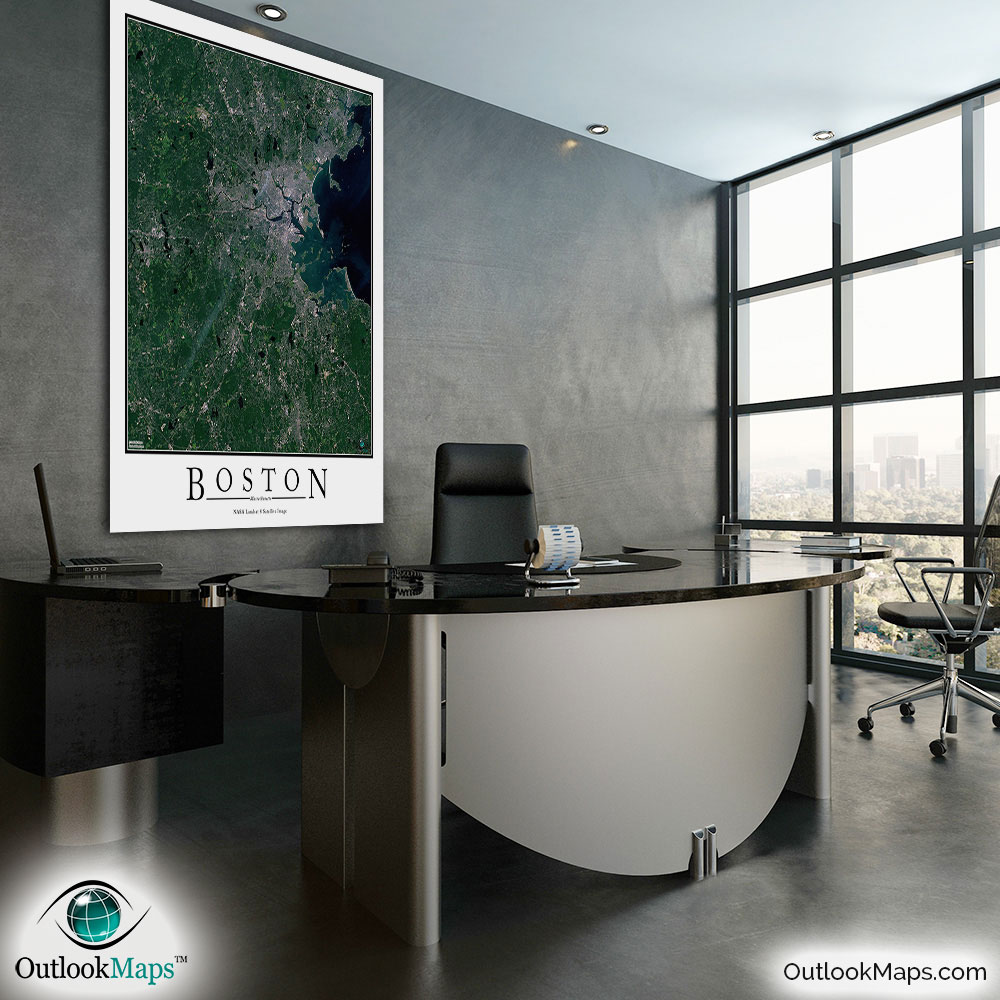
Boston Aerial Satellite Map Poster


(Click images to see full-size)
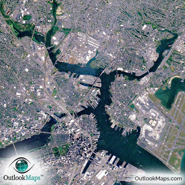
This satellite print of the Boston area does not include any additional text or line layers - it is a clean and uncluttered image of Boston as seen from space.
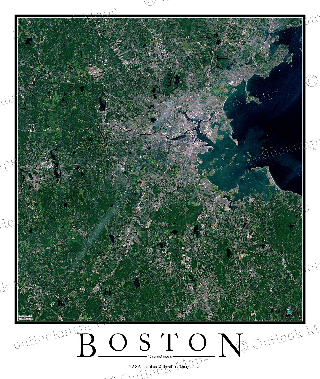
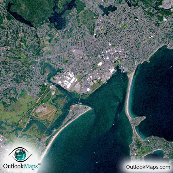
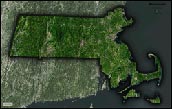
This aerial map includes the entire Boston area. Neighboring suburbs and towns such as Cambridge, Brockton, Quincy, Lynn, Newton, and Weymouth are all included in the image.
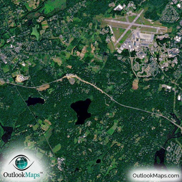
The native resolution of the satellite imagery is 1 px = about 15 meters, which is detailed enough to see large buildings, parks, neighborhoods, major streets, golf courses, and many other features of the city.
Logan International Airport is very prominent in the image. Other smaller airports and runways can also be found in the image.
Downtown Boston is home to several large skyscrapers that can be identified in the image, such as Hancock Place, Prudential Tower, Federal Reserve Bank Building, One International Place, and One Boston Place.
Being such a historically significant city of the United States, Boston is home to several landmarks, buildings, and parks that you can find in the map, such as Faneuil Hall, Boston Common, Massachusetts State House, Bunker Hill Monument and Bunker Hill Bridge. Famous universities like Harvard, Boston University, Boston College, and MIT can also be found. Fenway Park is also visible.
Natural features like the Charles River, Mystic River, Boston Harbor, and numerous islands and bays can be seen. You'll also find many ponds and lakes throughout the landscape.
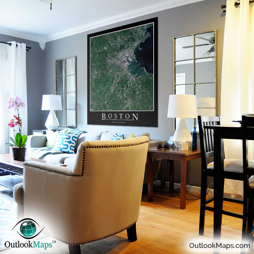
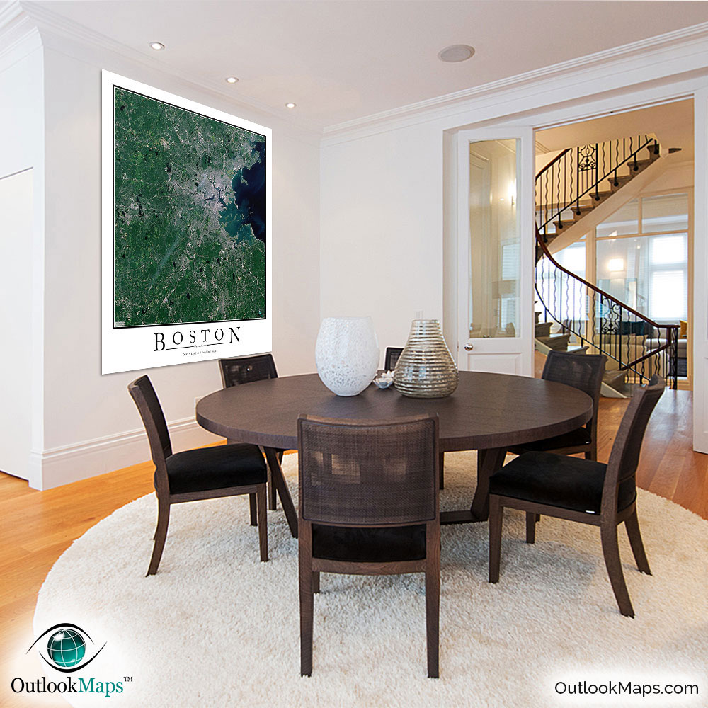
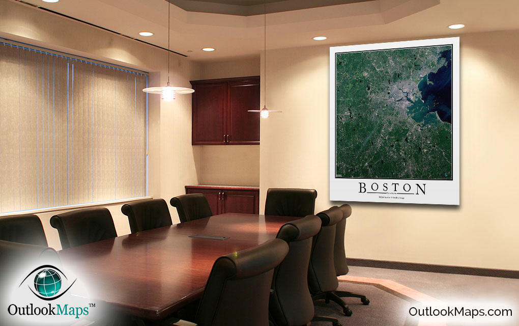
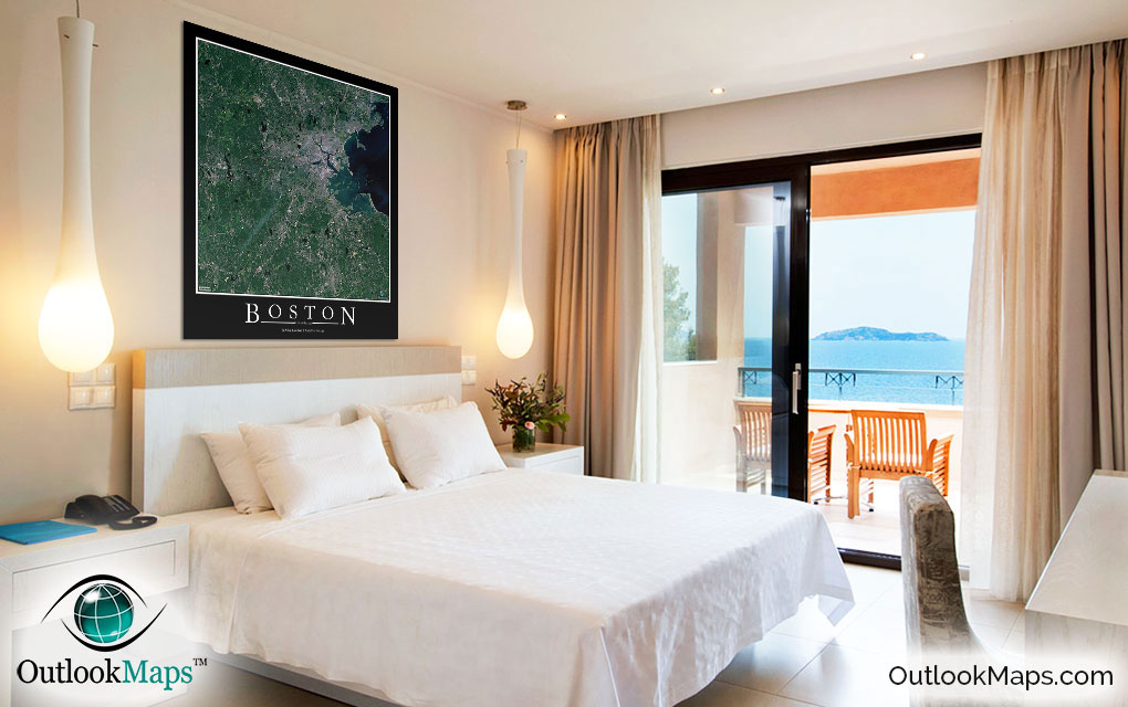
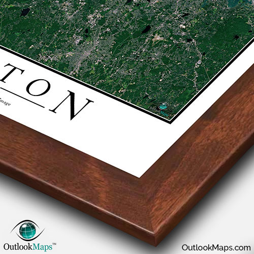
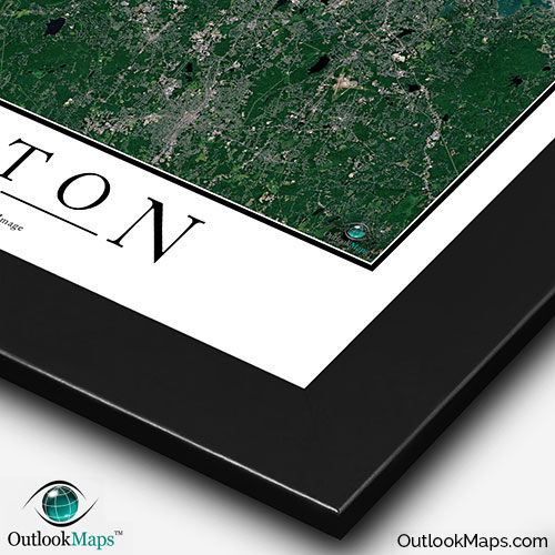
This Boston Area satellite map is styled with a classic poster appearance - a tasteful border around the map and the title ''BOSTON'' printed at the bottom with traditional poster font. The print is available with either a white or black background.
The aerial image is detailed enough to look crisp and sharp even when printed at large sizes.
We also offer several framing options, making the map a perfect piece to display on your home, office, or business wall for both functional use and artistic decoration.