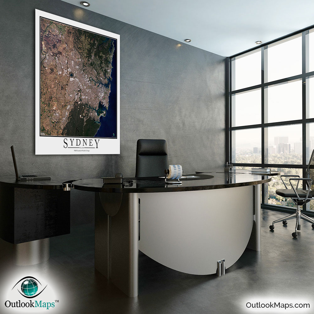
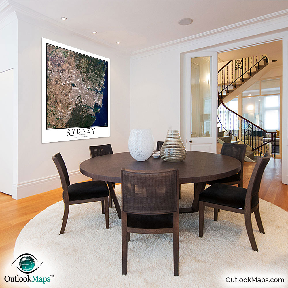
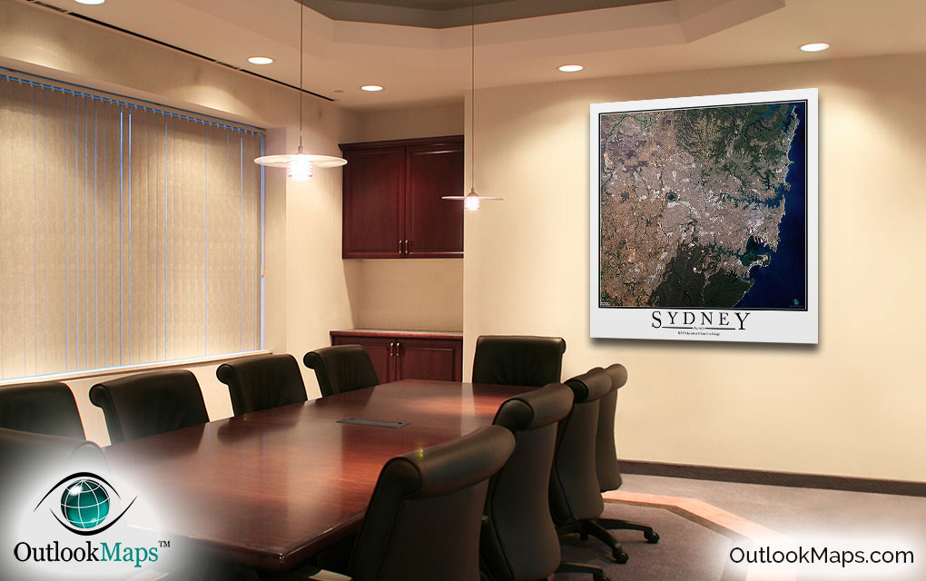
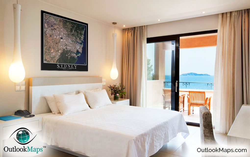
Sydney Aerial Satellite Map Poster


(Click images to see full-size)
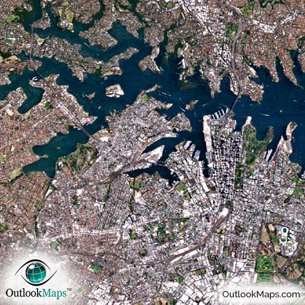
This satellite print of the Sydney area does not include any additional text or line layers - it is a clean and uncluttered image of Sydney as seen from space.
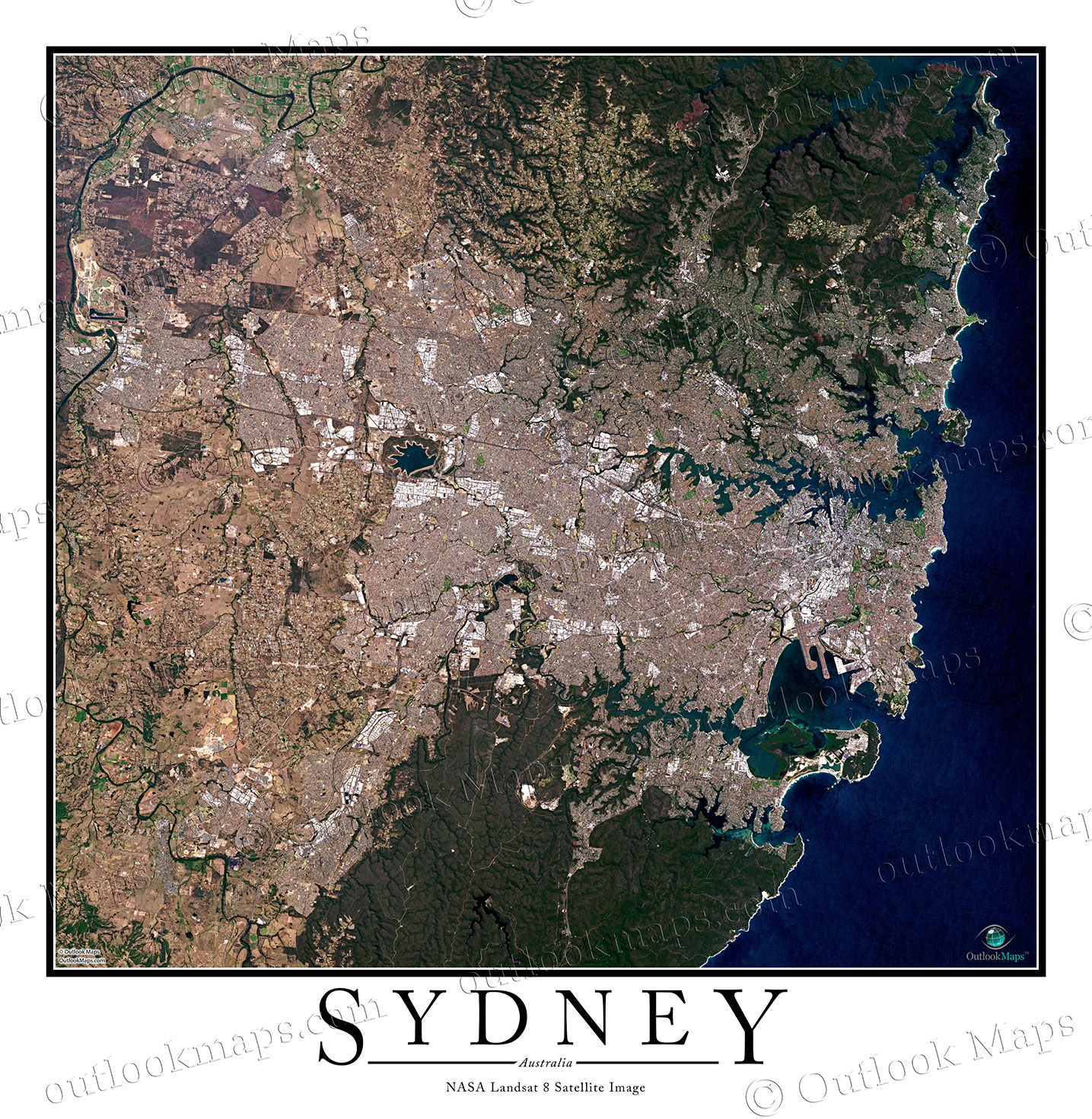
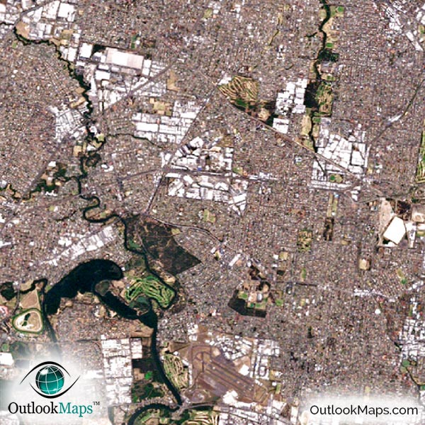
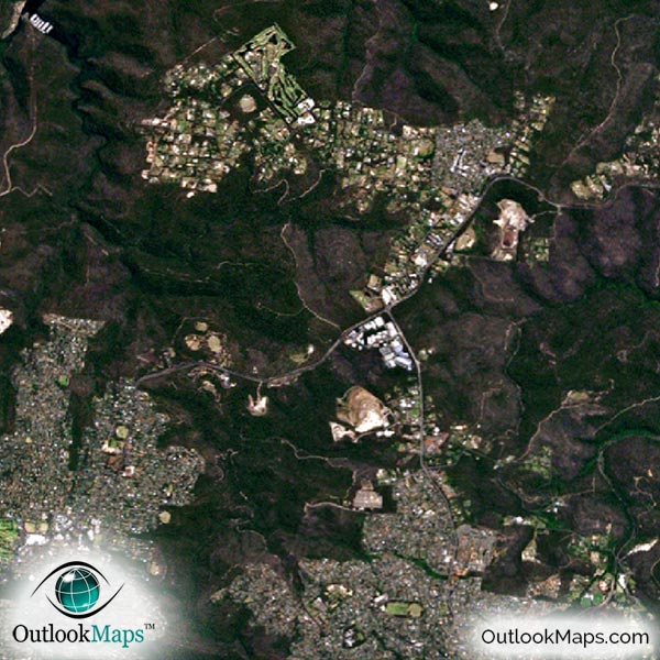
This aerial map includes the entire Sydney area. Smaller cities and suburbs like Blackstown, Penrith, Ryde, Parramatta, Rockdale, Randwick, Bankstown, Sutherland, and Campbelltown are also shown in the satellite map.
The native resolution of the satellite imagery is 1 px = about 15 meters, which is detailed enough to see large buildings, parks, neighborhoods, major streets, golf courses, and many other features of the city.
Sydney Airport, the largest airport in the area, is very easy to locate in the image. You'll also find smaller airports and runways in the image.
In downtown Sydney, you'll find large buildings and skyscrapers. The skyscrapers include Citigroup Centre, Chifley Tower, Deutsche Bank Place, and Meriton World Tower. The iconic Sydney Opera House is also visible.
You'll also find specific landmarks and attractions like Sydney Harbour Bridge, Bondi Beach, Manly Beach, Taronga Zoo, The Royal Randwick Racecourse, and university campuses like the University of Sydney and University of New South Wales.
The aerial map also highlights the natural areas of the Sydney area. The Tasman Sea of the Pacific Ocean appears a deep blue, and most of the land is either dark green or shades of brown. You'll find specific natural features including Port Jackson harbour, including the Sydney Harbour, Royal National Park, Ku-ring-gai Chase National Park, Parramatta River, Prospect Reservoir, and numerous streams and lakes.
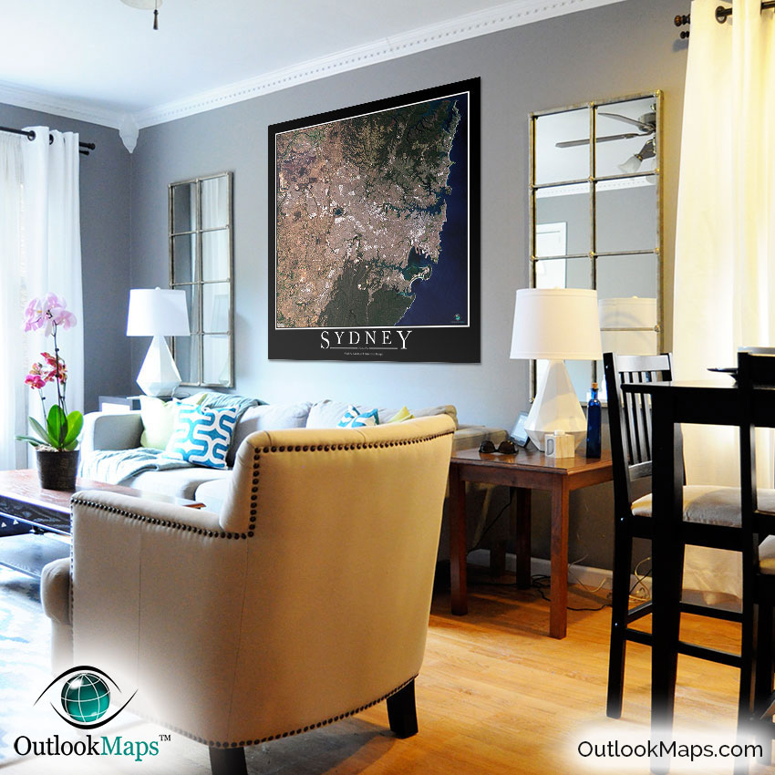
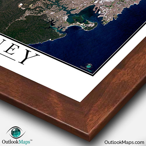
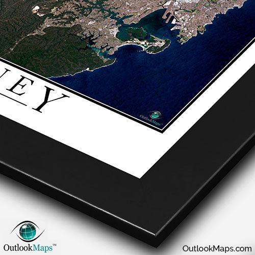
This Sydney satellite map is styled with a classic poster appearance - a tasteful border around the map and the title ''SYDNEY'' printed at the bottom with traditional poster font. The print is available with either a white or black background.
The aerial image is detailed enough to look crisp and sharp even when printed at large sizes.
We also offer several framing options, making the map a perfect piece to display on your home, office, or business wall for both functional use and artistic decoration.