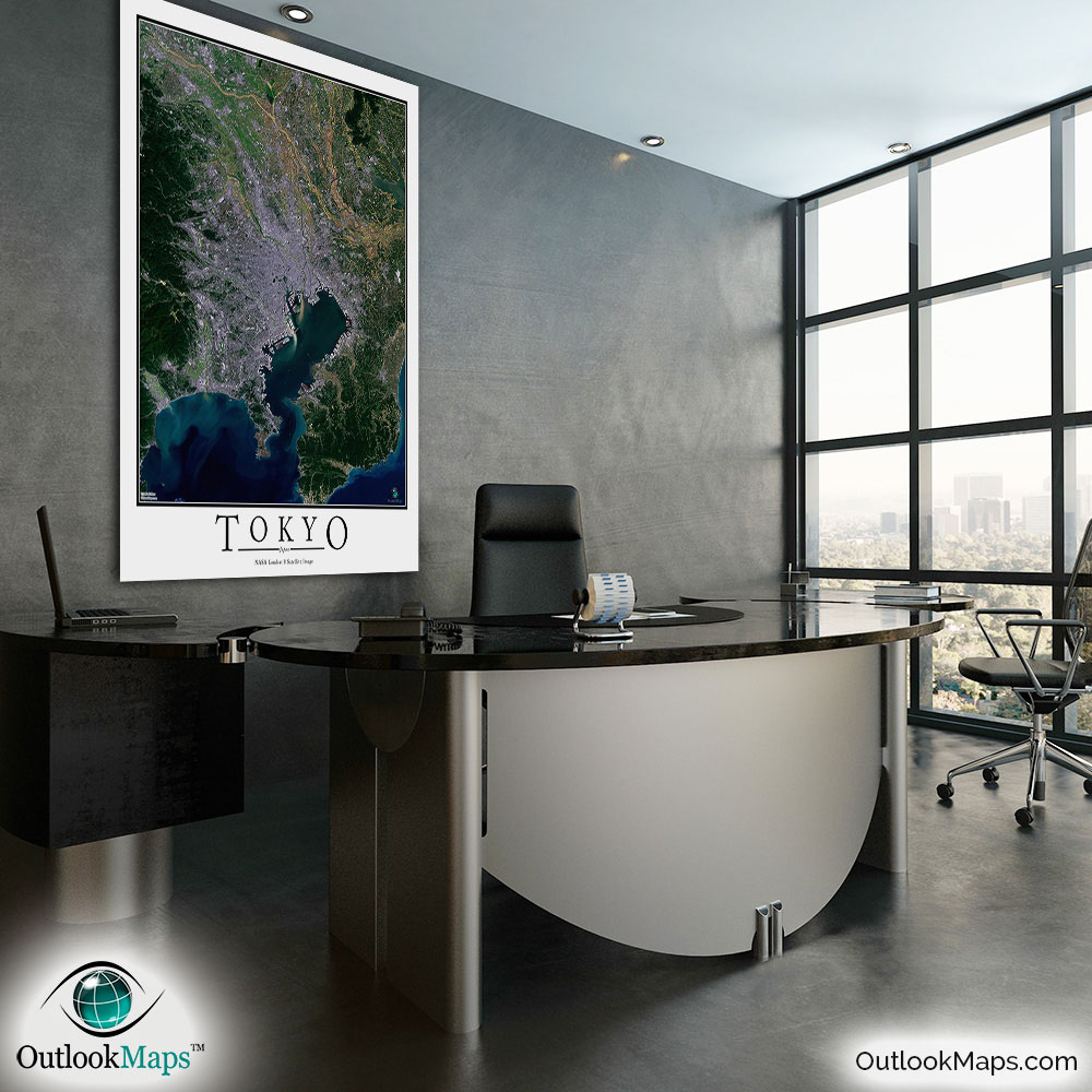
Tokyo Aerial Satellite Map Poster


(Click images to see full-size)
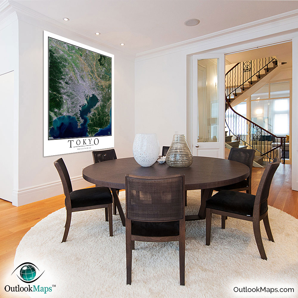
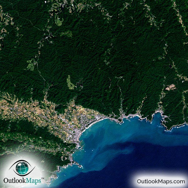
This satellite print of the Tokyo area does not include any additional text or line layers - it is a clean and uncluttered image of Tokyo as seen from space.
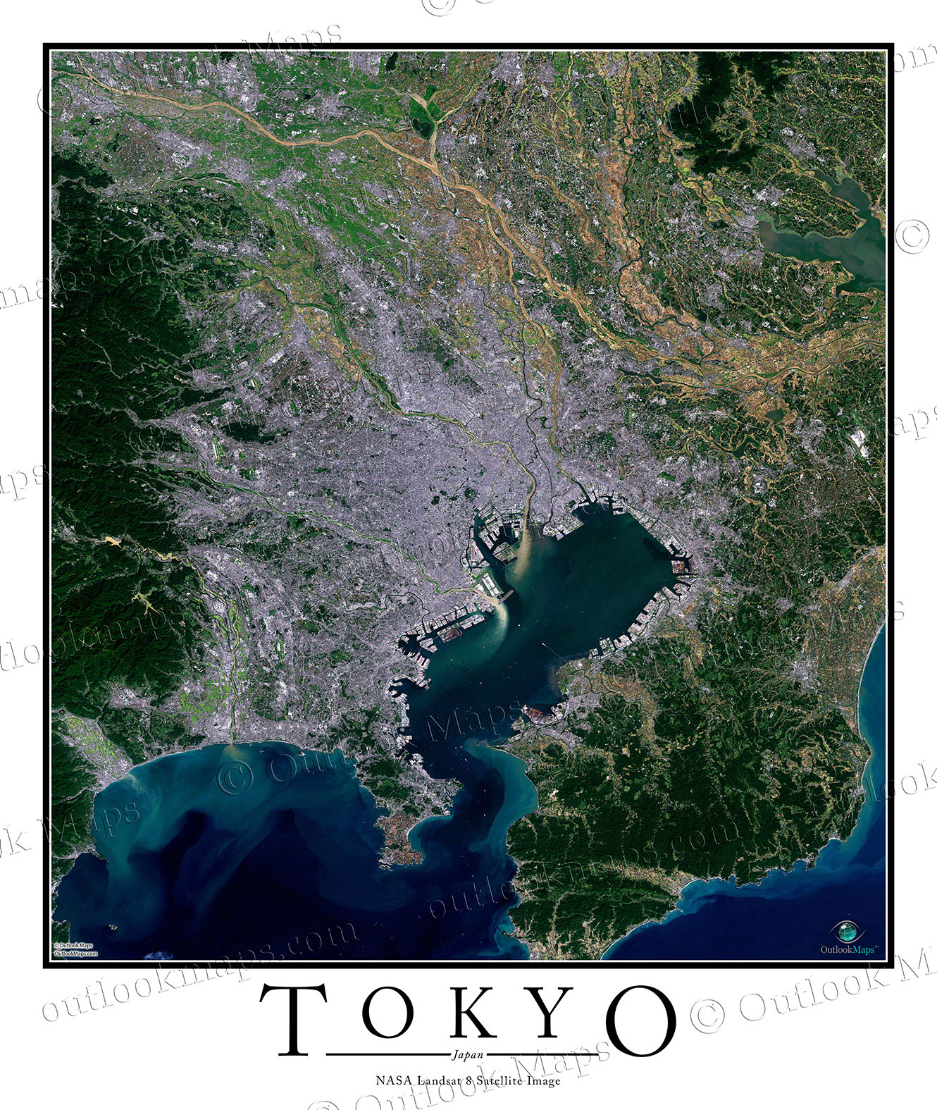
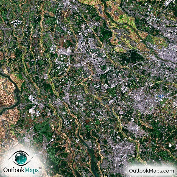
This aerial satellite image includes the entire Tokyo populated area. Other cities like Yokohama, Kawasaki, Chiba, Hachioji, Saitama, and Edogawa are also shown in the map, as is the entire Tokyo Bay and most of the coast of Sagami Gulf.
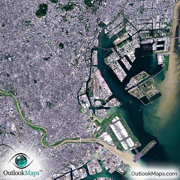
The native resolution of the satellite imagery is 1 px = about 15 meters, which is detailed enough to see large buildings, parks, neighborhoods, major streets, golf courses, and many other features of the city.
Both of Tokyo's primary airports, Haneda Airport and Narita International Airport, are shown in the image and are easy to identify. You'll also find other smaller airports and runways in the map.
In downtown Tokyo you'll find numerous skyscrapers like Toranomon Hills, Midtown Tower, Tokyo Metropolitan Government Building, and NTT Docomo Yoyogi Building.
You can also find famous Tokyo attractions like Tokyo Disneyland, Imperial Palace, Roppongi District, and Rainbow Bridge.
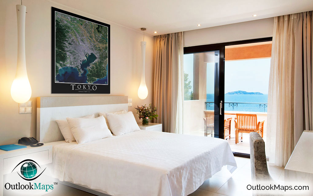
The water in the map (Tokyo Bay, Sagami Gulf, and the Pacific Ocean) looks especially beautiful with shades of deep blue and green. Natural areas of vegetation appear shades of deep green. You can also find several major rivers like Edo River, Naka River, and Tone River and also Kasumigaura Lake.
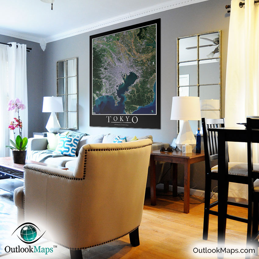
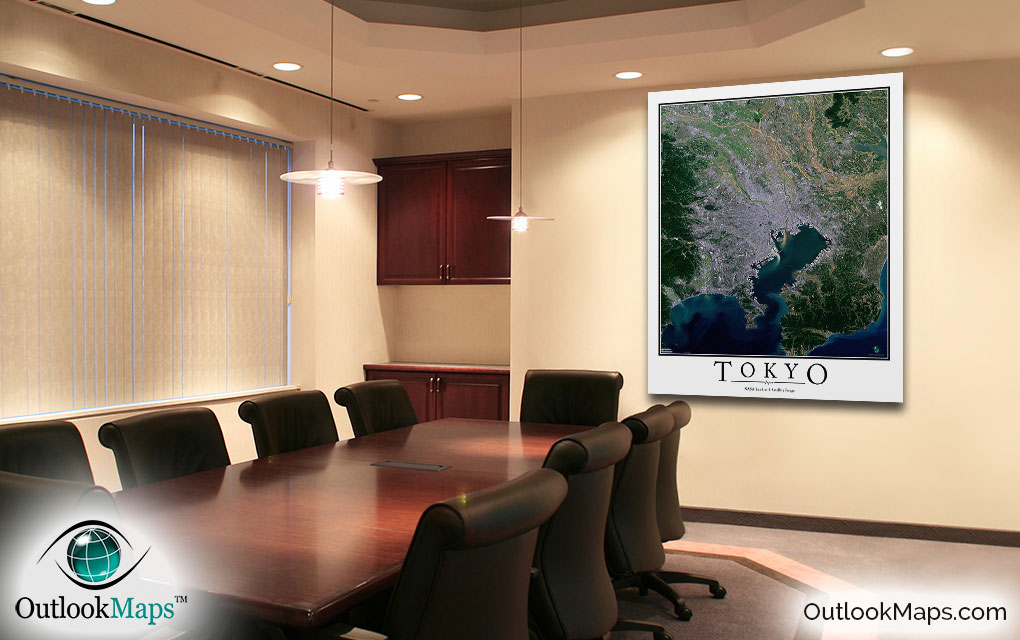
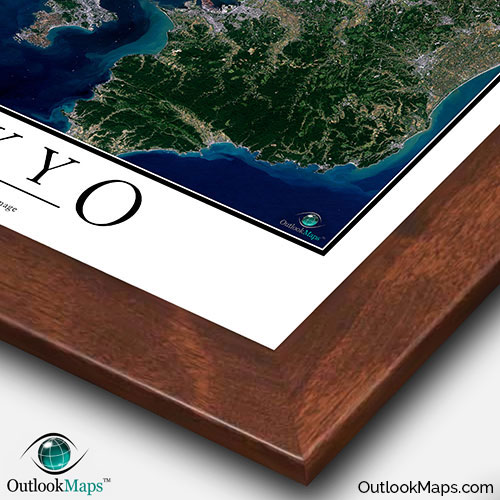
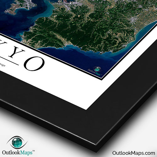
This Tokyo satellite map is styled with a classic poster appearance - a tasteful border around the map and the title ''TOKYO'' printed at the bottom with traditional poster font. The print is available with either a white or black background.
The aerial image is detailed enough to look crisp and sharp even when printed at large sizes.
We also offer several framing options, making the map a perfect piece to display on your home, office, or business wall for both functional use and artistic decoration.