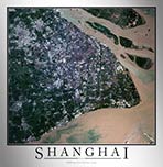
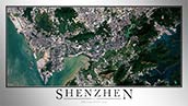
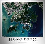
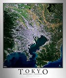
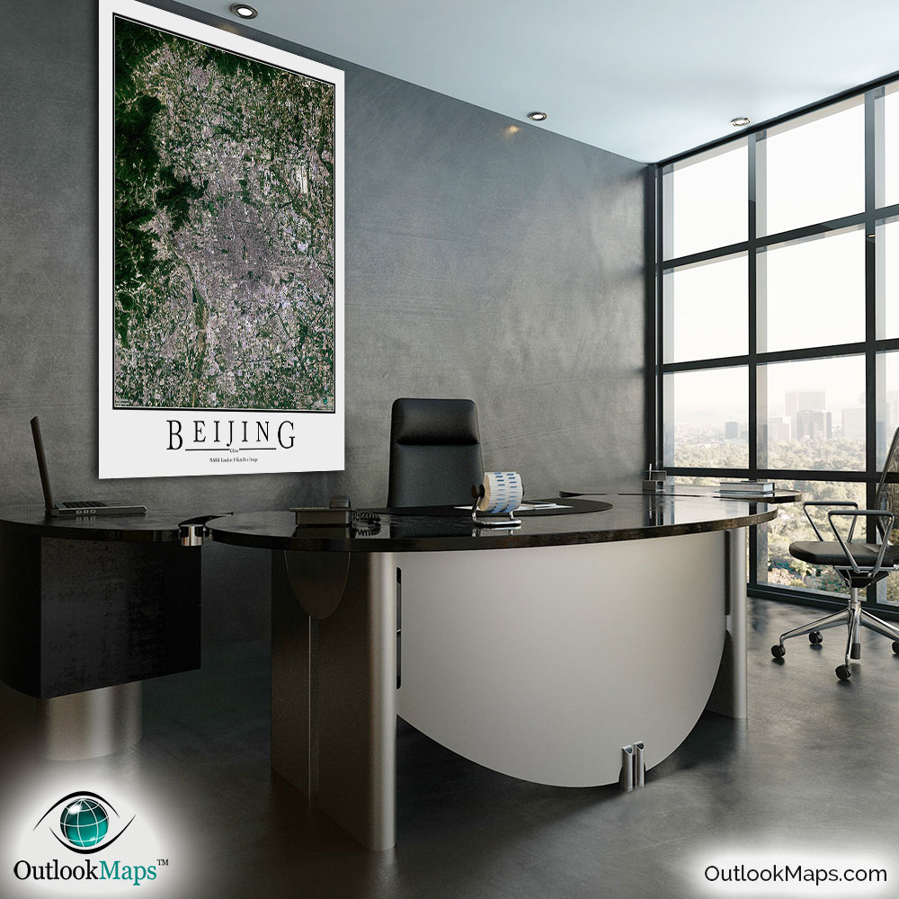
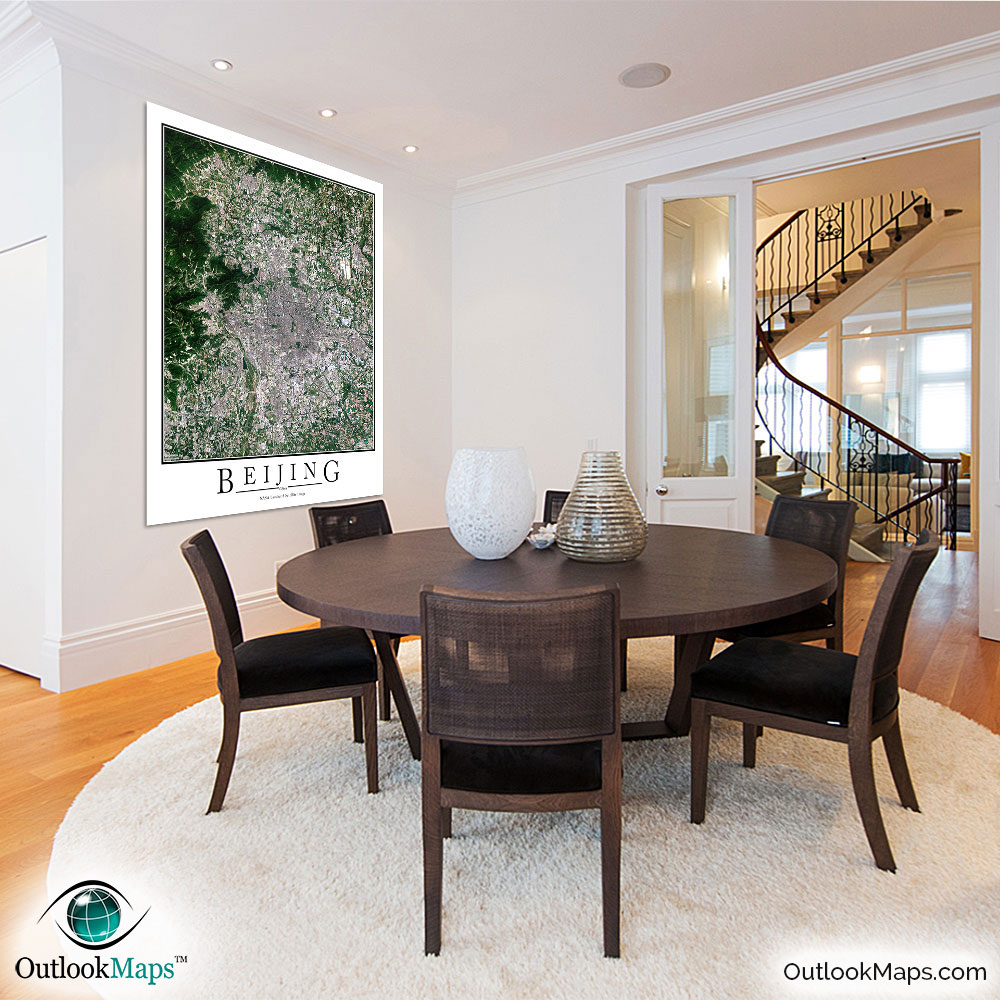
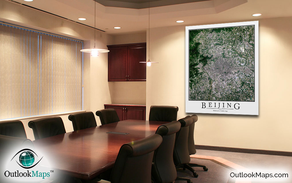
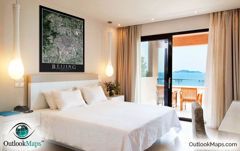
Beijing Aerial Satellite Map Poster


(Click images to see full-size)
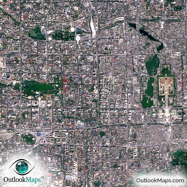
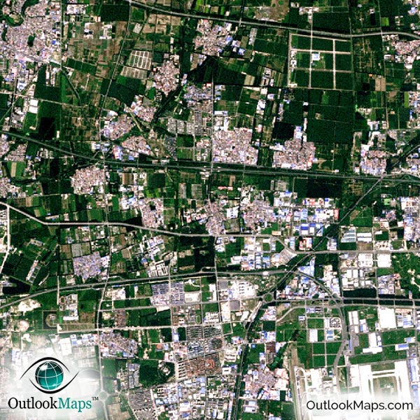
This satellite print of the Beijing area does not include any additional text or line layers - it is a clean and uncluttered image of Beijing as seen from space.
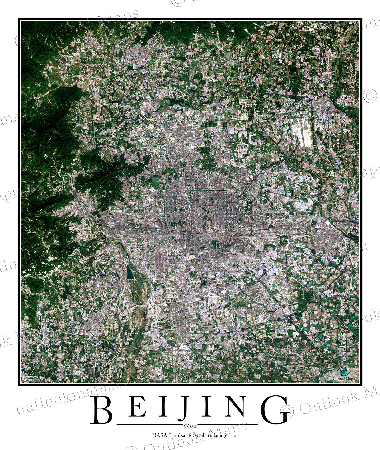
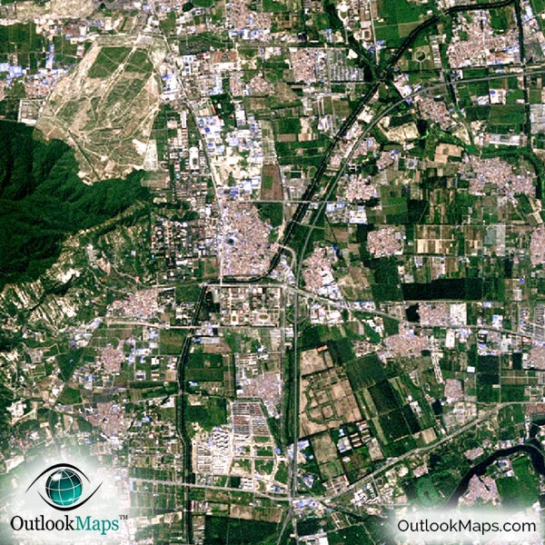
This satellite aerial map includes the entire Beijing area. Neighboring suburbs and regions like Chanping, Shunyi, Tongzhou, Shijingshan, Fangshan, and Daxing are all included in the image.
The native resolution of the satellite imagery is 1 px = about 15 meters, which is detailed enough to see large buildings, parks, neighborhoods, major streets, golf courses, and many other features of the city.
One of the most prominent places in the image is Beijing Capital International Airport, the busiest airport in the world. Other smaller runways may also be visible.
You'll also be able to see Beijing's many tall skyscrapers downtown, such as the China World Trade Center, Fortune Plaza Office, Park Tower, CCYV Headquarters, and Beijing TV Center, among others.
Many of Beijing's prominent landmarks are also visible, such as the Great Hall, Forbidden City, China National Grand Theatre, Mao Zedong's Mausoleum, Temple of Heaven, Capital Museum, and of course, Tiananmen Square. You'll also have fun finding Olympic and sporting venues such as Beijing National Stadium and Beijing Fengtai Stadium.
Neighboring natural areas and mountains are also visible in the map, as are numerous lakes and parks.
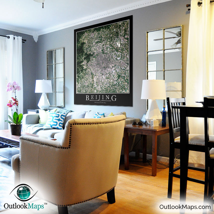
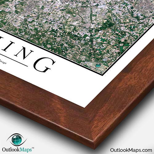
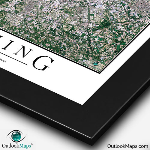
This Beijing satellite map is styled with a classic poster appearance - a tasteful border around the map and the title ''BEIJING'' printed at the bottom with traditional poster font. The print is available with either a white or black background.
The aerial image is detailed enough to look crisp and sharp even when printed at large sizes.
We also offer several framing options, making the map a perfect piece to display on your home, office, or business wall for both functional use and artistic decoration.