Shenzhen Aerial Satellite Map Poster


(Click images to see full-size)
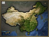
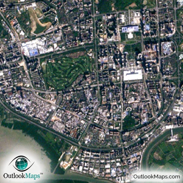
This satellite print of the Shenzhen area does not include any additional text or line layers - it is a clean and uncluttered image of Shenzhen as seen from space.
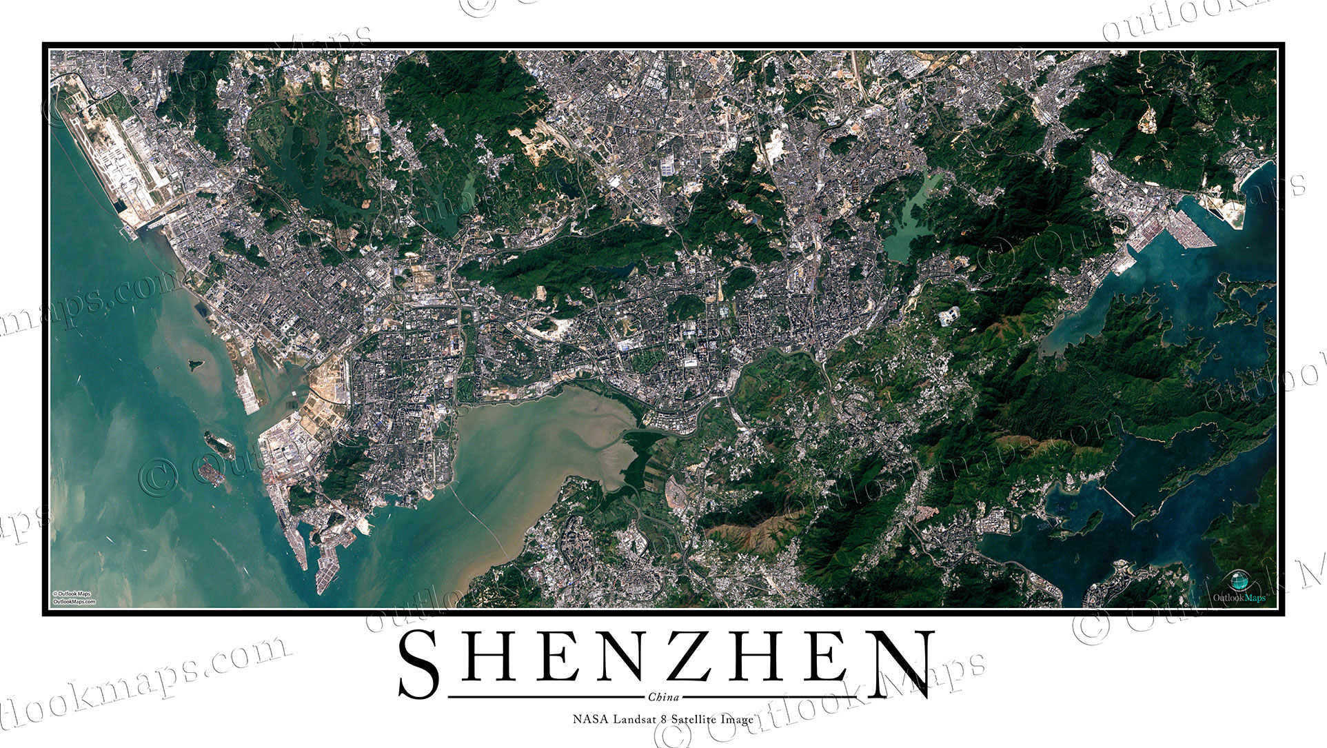
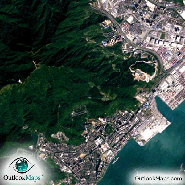
This aerial satellite map of Shenzhen includes the entire Shenzhen area, including neighboring cities and districts such as Bao'an, Nanshan, Futian, Luohu, and Yantian.
The native resolution of the satellite imagery is 1 px = about 15 meters, which is detailed enough to see large buildings, parks, neighborhoods, major streets, golf courses, and many other features of the city.
Shenzhen's main airport is Shenzhen Bao'an International Airport located in the northwest corner of the image. The airport is very distinct and easy to see.
In the downtown area of Shenzhen, you'll find many large buildings and skyscrapers. The tallest buildings are the KK100, Diwang Building in Shun Hing Square, SEG Plaza, and the East Pacific Business Towers.
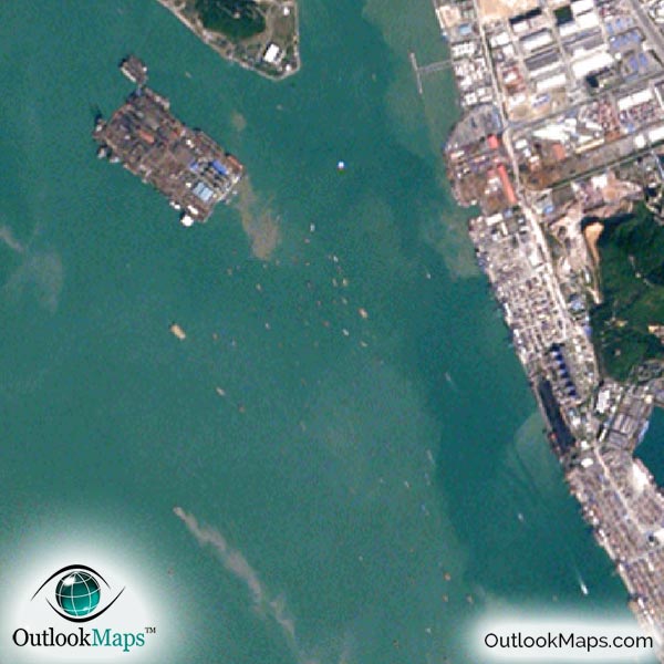
You'll also be able to find landmarks and attractions throughout the image like the Window of the World park, Happy Valley amusement park, the Minsk aircraft carrier, and other places.
The image also shows the neighboring mountains and natural features. The various bays of the Pacific Ocean like the Mirs Bay and the Shenzhen Bay appear aqua blue in the image, with traces of silt deposits from the rivers.
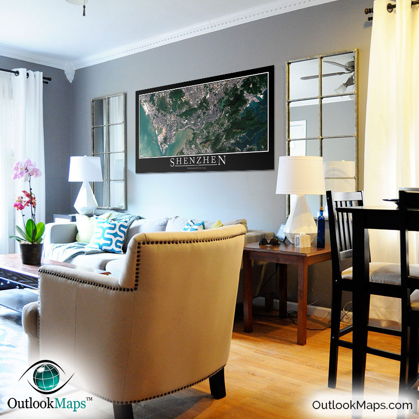
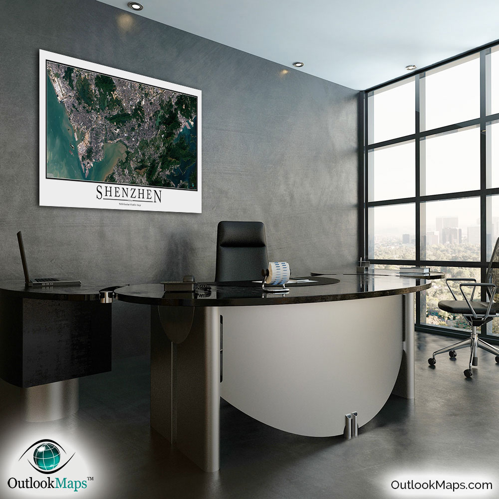
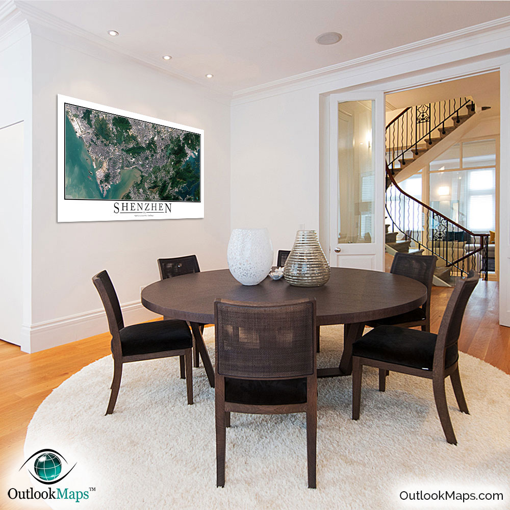
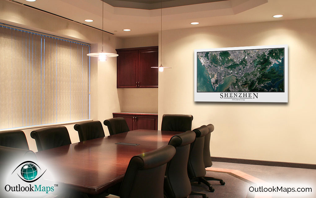
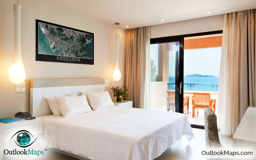
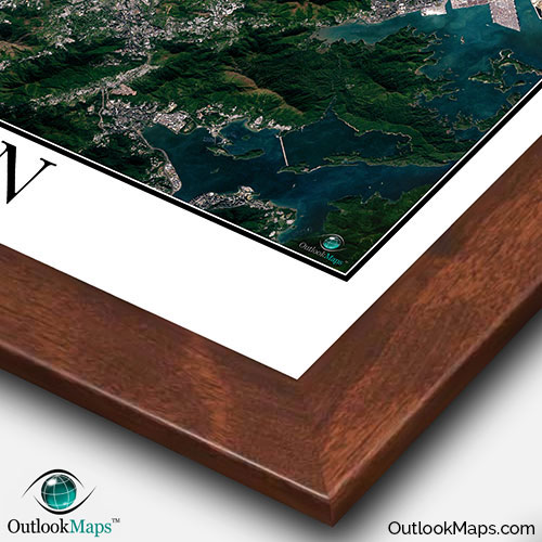
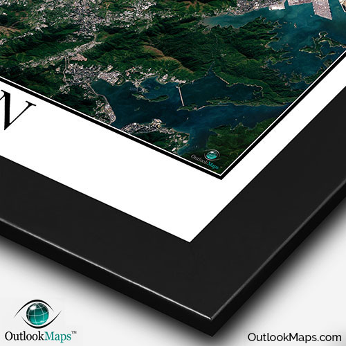
This Shenzhen satellite map is styled with a classic poster appearance - a tasteful border around the map and the title ''SHENZHEN'' printed at the bottom with traditional poster font. The print is available with either a white or black background.
The aerial image is detailed enough to look crisp and sharp even when printed at large sizes.
We also offer several framing options, making the map a perfect piece to display on your home, office, or business wall for both functional use and artistic decoration.