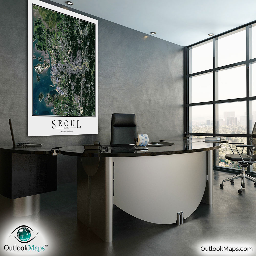
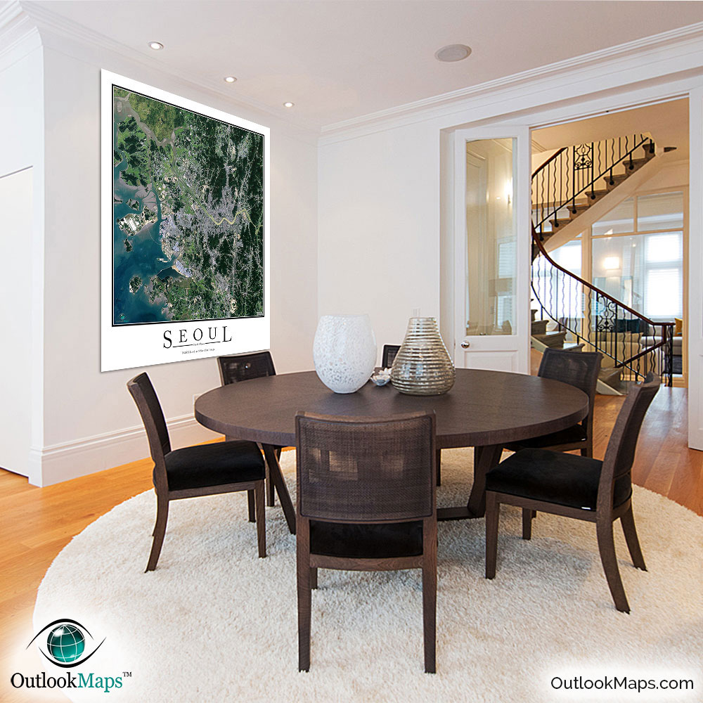
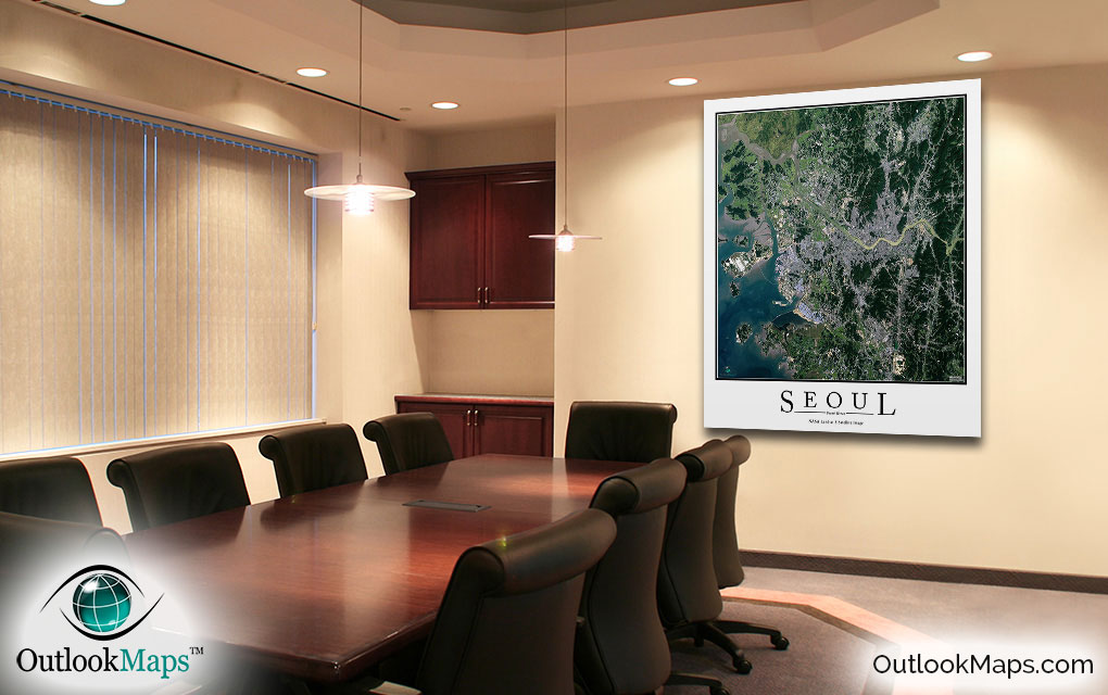
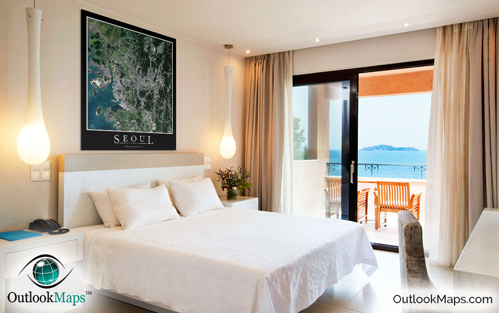
Seoul Aerial Satellite Map Poster


(Click images to see full-size)
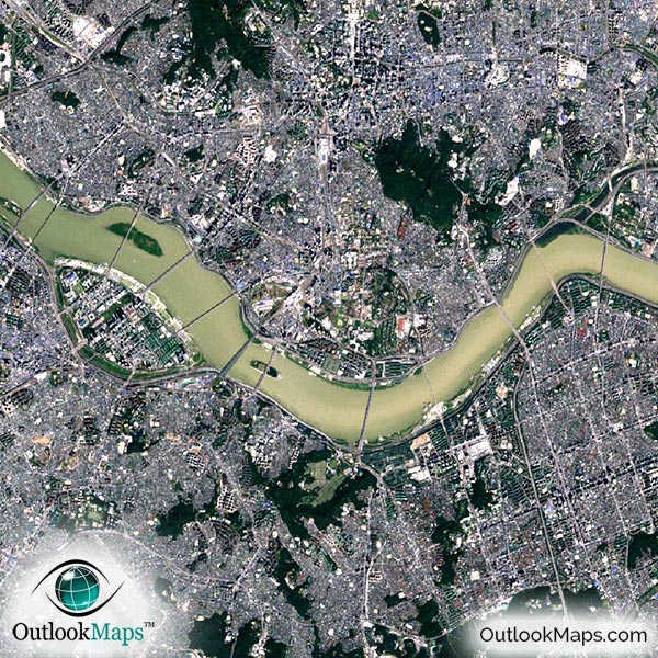
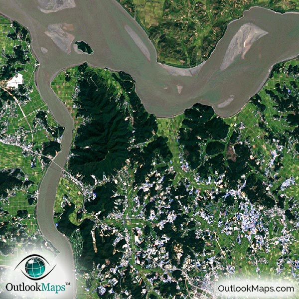
This satellite print of the Seoul area does not include any additional text or line layers - it is a clean and uncluttered image of Seoul as seen from space.
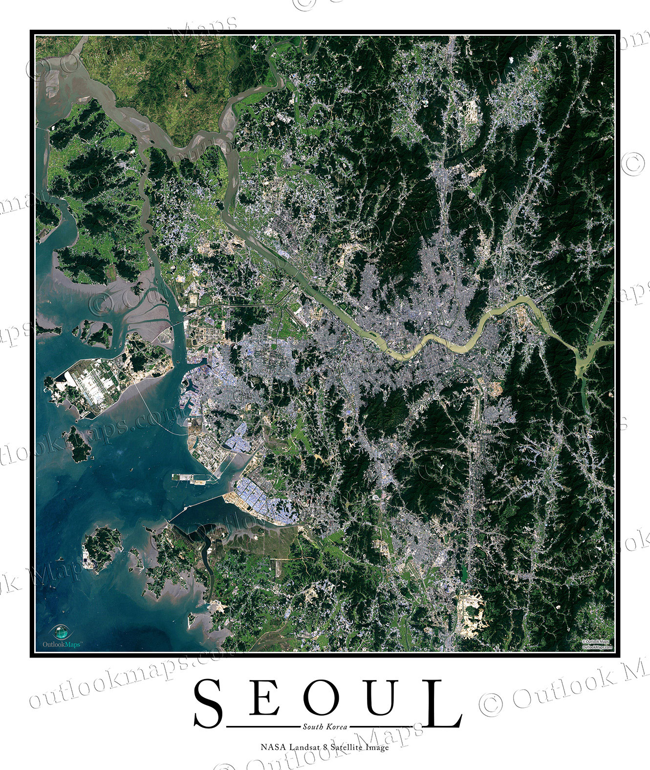
This aerial map of Seoul includes the entire metropolis area. Smaller cities and suburbs like Incheon, Suwon, Goyang, and Kwangju are also shown.
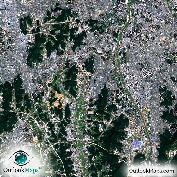
The native resolution of the satellite imagery is 1 px = about 15 meters, which is detailed enough to see large buildings, parks, neighborhoods, major streets, golf courses, and many other features of the city.
Probably the most prominent feature visible in the map is the massive Incheon International Airport, built on Yeongjong and Yongyu islands which have been built together to create the airport.
In downtown Seoul, you'll find a high concentration of large buildings and skyscrapers. The tallest skyscrapers include Three International Finance Center, Tower Palace, KLI 63 Building, and the Mok-dong Hyperion Tower.
You can also see famous landmarks in Seoul such as the Gwanghwamun gate and Gyeongbokgung Palace, the War Memorial of Korea, the Seoul World Cup Stadium, and the Jongmyo Shrine.
The natural beauty of the Seoul area also is very evident in this satellite map. The Yellow Sea appears a pretty aqua blue, and the forested areas around the city are dark green. You'll also clearly see the Han-Gang River cutting through the center of the city, and many islands and inlets near the coast.
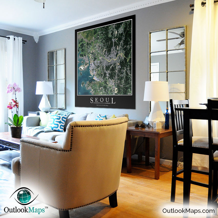
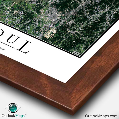
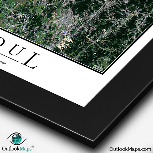
This Seoul satellite map is styled with a classic poster appearance - a tasteful border around the map and the title ''SEOUL'' printed at the bottom with traditional poster font. The print is available with either a white or black background.
The aerial image is detailed enough to look crisp and sharp even when printed at large sizes.
We also offer several framing options, making the map a perfect piece to display on your home, office, or business wall for both functional use and artistic decoration.