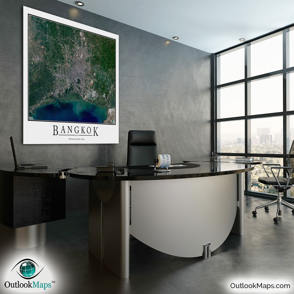
Bangkok Aerial Satellite Map Poster


(Click images to see full-size)
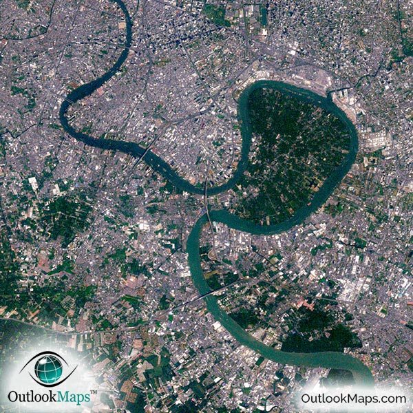
This satellite print of the Bangkok area does not include any additional text or line layers - it is a clean and uncluttered image of Bangkok as seen from space.
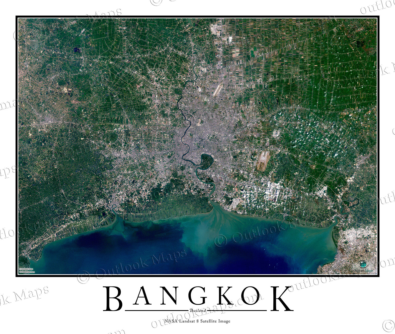
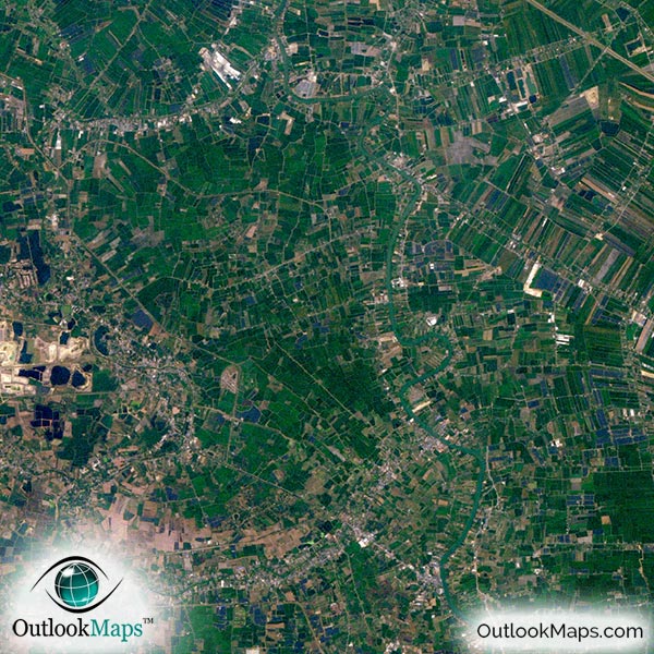
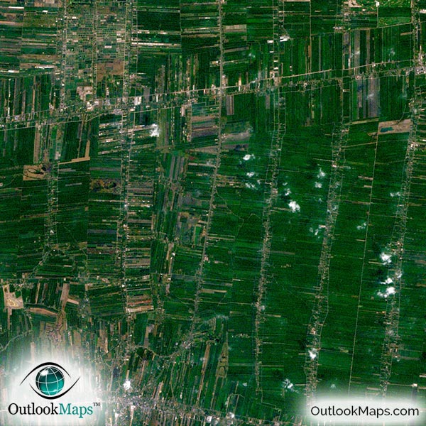
This satellite map includes the entire Bangkok area. Smaller suburbs and regions such as Pak Kret, Khlong Nung, Bang Bua Thong, Samut Prakan, and Nonthaburi are also shown in the aerial image.
The native resolution of the satellite imagery is 1 px = about 15 meters, which is detailed enough to see large buildings, parks, neighborhoods, major streets, golf courses, and many other features of the city.
Airports are especially prominent when viewed from above. Suvarnabhumi Airport (Bangkok International Airport) is easy to find, as are smaller airports and runways in the area.
Bangkok's skyscrapers, such as Baiyoke Towers, The River Tower, State Tower, Centara Grand Hotel, and others are easy to see.
You can also find several famous Bangkok landmarks, such as Wat Arun and the Grand Palace.
The most prominent natural feature in the image is the Gulf of Thailand, to the south of the city. The Chao Phraya river is also very prominent, as it flows through the center of the city. Outside Bangkok, the land is mostly used for agriculture, and the divide of the land into fields is very clear in the image.
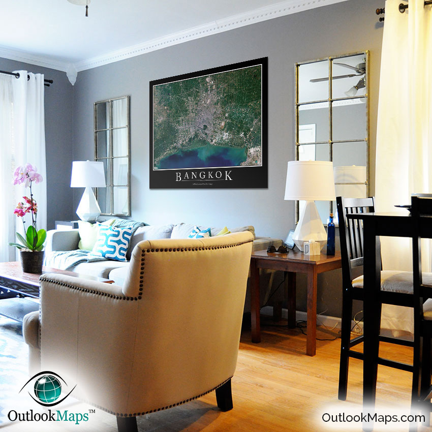
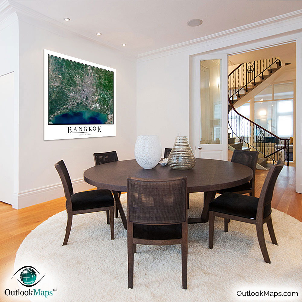
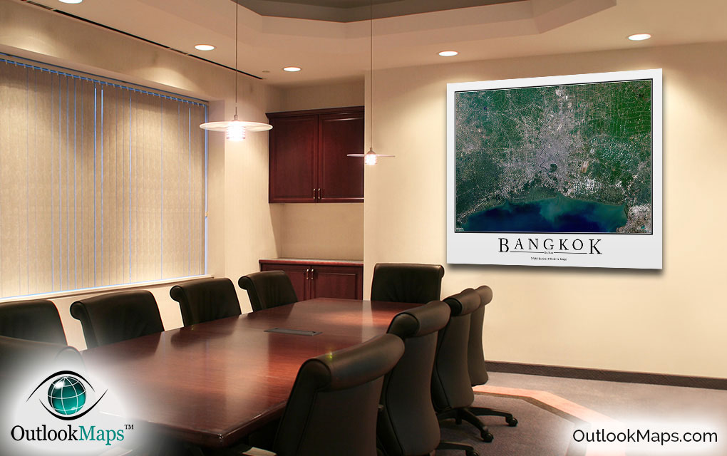
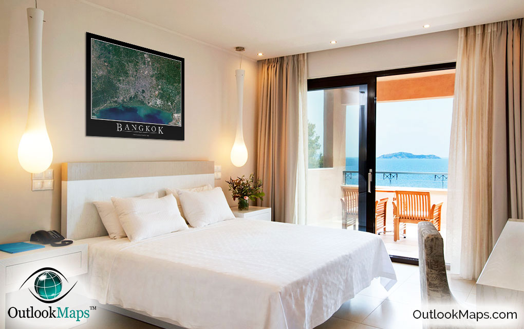
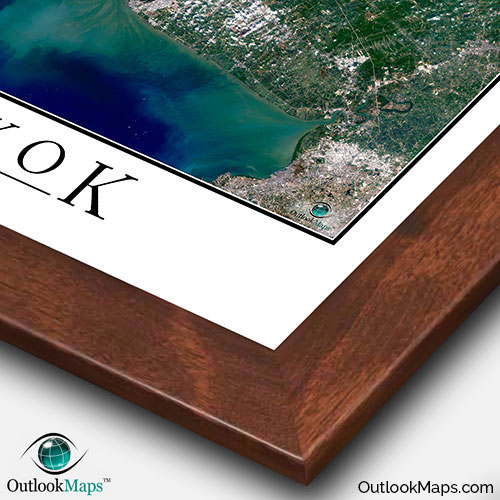
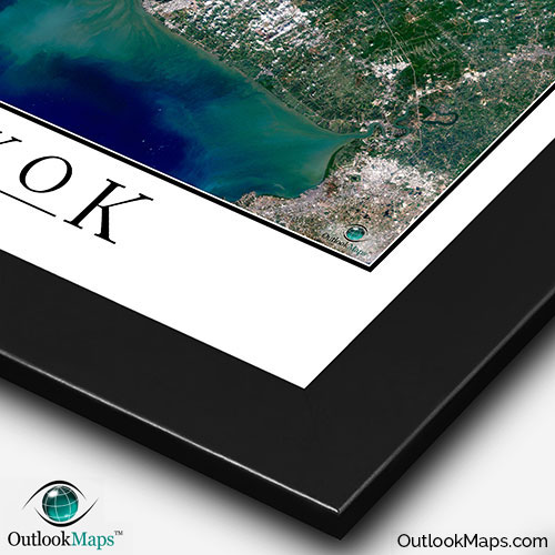
This Bangkok satellite map is styled with a classic poster appearance - a tasteful border around the map and the title ''BANGKOK'' printed at the bottom with traditional poster font. The print is available with either a white or black background.
The aerial image is detailed enough to look crisp and sharp even when printed at large sizes.
We also offer several framing options, making the map a perfect piece to display on your home, office, or business wall for both functional use and artistic decoration.