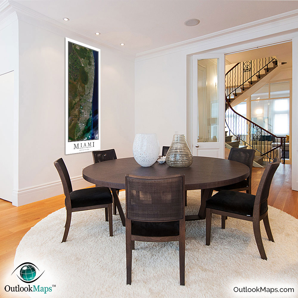
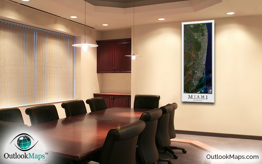
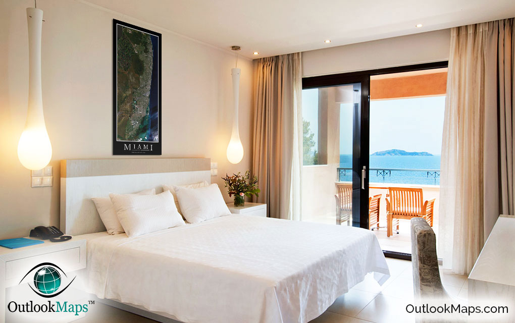
Miami Aerial Satellite Map Poster


(Click images to see full-size)
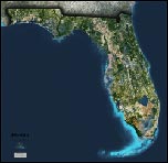
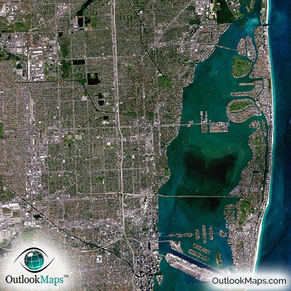
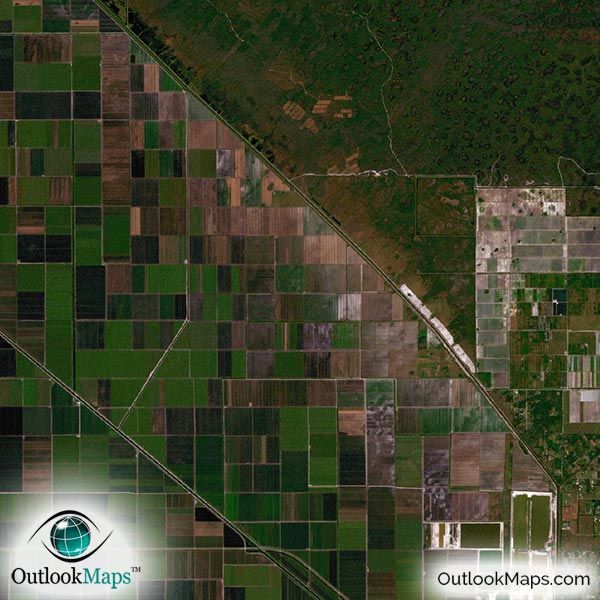
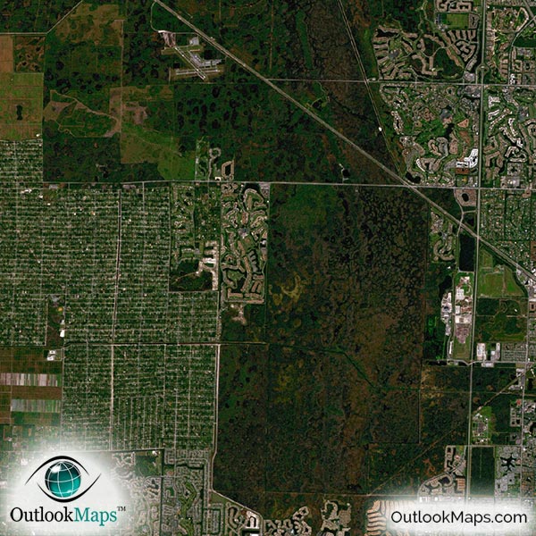
This satellite print of the Miami area does not include any additional text or line layers - it is a clean and uncluttered image of Miami as seen from space.
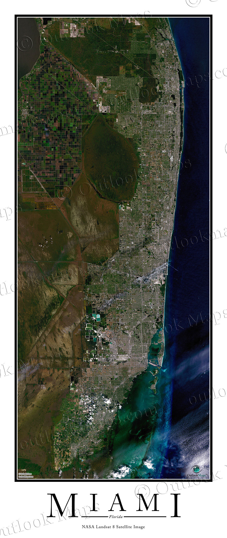
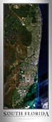
This satellite map includes the entire Miami area. Smaller cities and suburbs like Homestead, Fort Lauderdale, West Palm Beach, Hollywood, Hialeah, and Coral Springs are all included. You can also purchase this identical image with the title text "South Florida".
The native resolution of the satellite imagery is 1 px = about 15 meters, which is detailed enough to see large buildings, parks, neighborhoods, major streets, golf courses, and many other features of the city.
Several large airports and runways can be found in the region, the largest being Miami International Airport.
In downtown Miami, you'll be able too see many large buildings and skyscrapers. The tallest buildings are the Four Seasons Hotel, Southeast Financial Center, Marquis Residences, and Wells Fargo Center.
You'll also find specific landmarks and attractions like American Airlines Arena, Marlins Park, Sun Life Stadium, Zoo Miami, and several universities including the University of Miami, Florida International, Miami Dade College, and others.
The beaches in the image are clearly seen and the ocean appears beautiful blue and green. The corner of Lake Okeechobee can be seen in the northwest corner of the image.
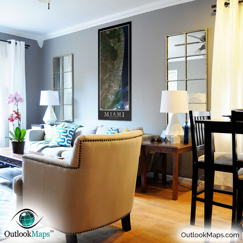
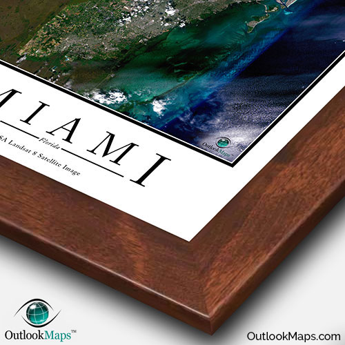
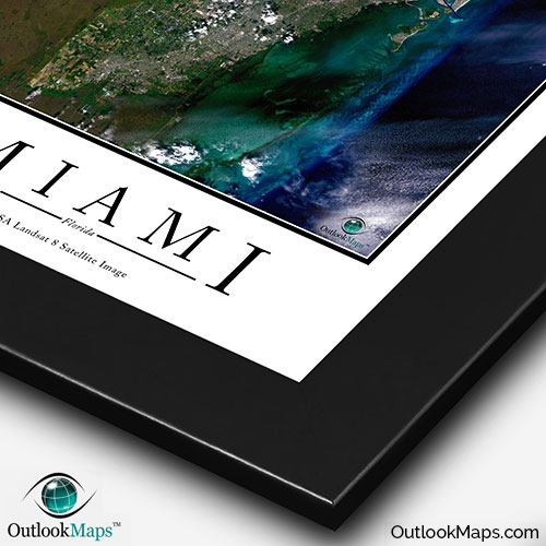
This Miami Area satellite map is styled with a classic poster appearance - a tasteful border around the map and the title ''MIAMI'' printed at the bottom with traditional poster font. The print is available with either a white or black background.
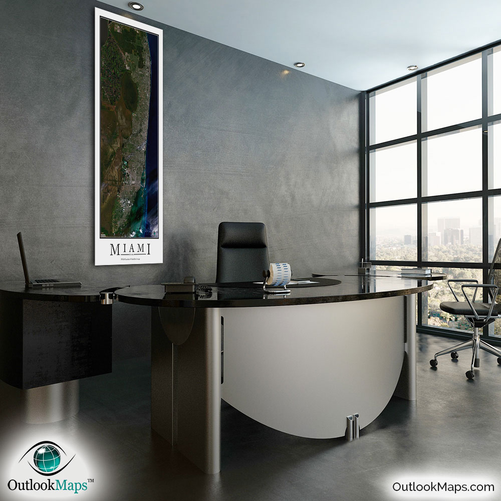
The aerial image is detailed enough to look crisp and sharp even when printed at large sizes.
We also offer several framing options, making the map a perfect piece to display on your home, office, or business wall for both functional use and artistic decoration.