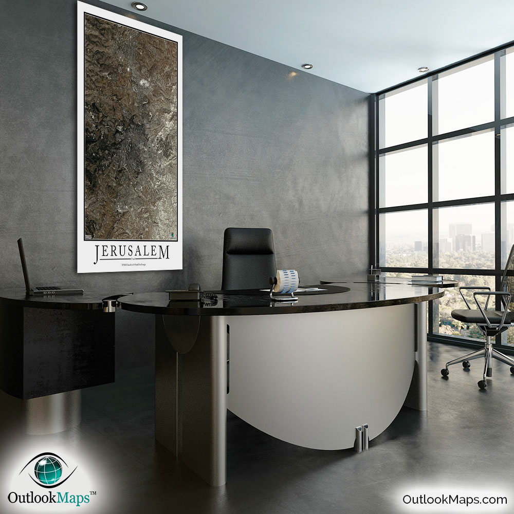
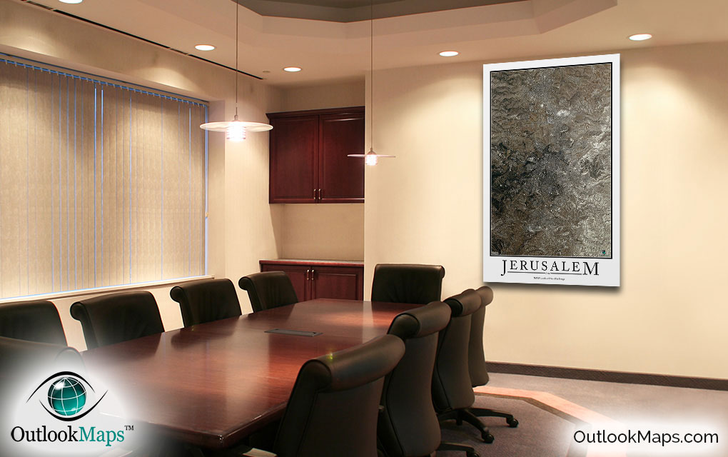
Jerusalem Aerial Satellite Map Poster

An aerial view of Jerusalem, Israel taken by NASA satellites. The image is current, high-detailed, and makes a gorgeous poster for display.

Features

  • NASA Landsat 8 Image
  • Current Image
  • High Resolution: 1 pixel = 15 meters
  • Month of Image: September
  • Minimal to No Cloud Cover
  • No Text Labels
  • Either White or Black Background
  • Includes Entire Jerusalem Area
  • Stylish Poster Layout - Looks great framed

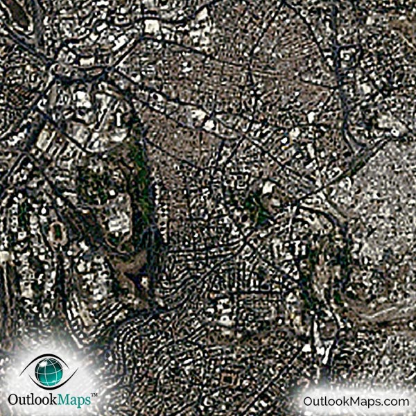
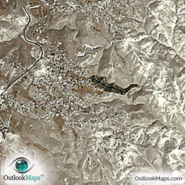
This satellite print of the Jerusalem area does not include any additional text or line layers - it is a clean and uncluttered image of Jerusalem as seen from space.

Product Information

Map Name:
Model Number:
JERUS991
Product Image:
JERUS991 - Jerusalem Satellite Map
Map Type:
Wall Map (not folded)
Description:
High resolution print of Jerusalem satellite Image. Poster can be laminated, mounted, and framed. Aerial image taken from NASA Landsat 8 satellites.
Publisher/Brand:
Outlook Maps
Price:
starting at $19
Availability:
In Stock

What's Visible in the Satellite Image?

Jerusalem Aerial Map Detail

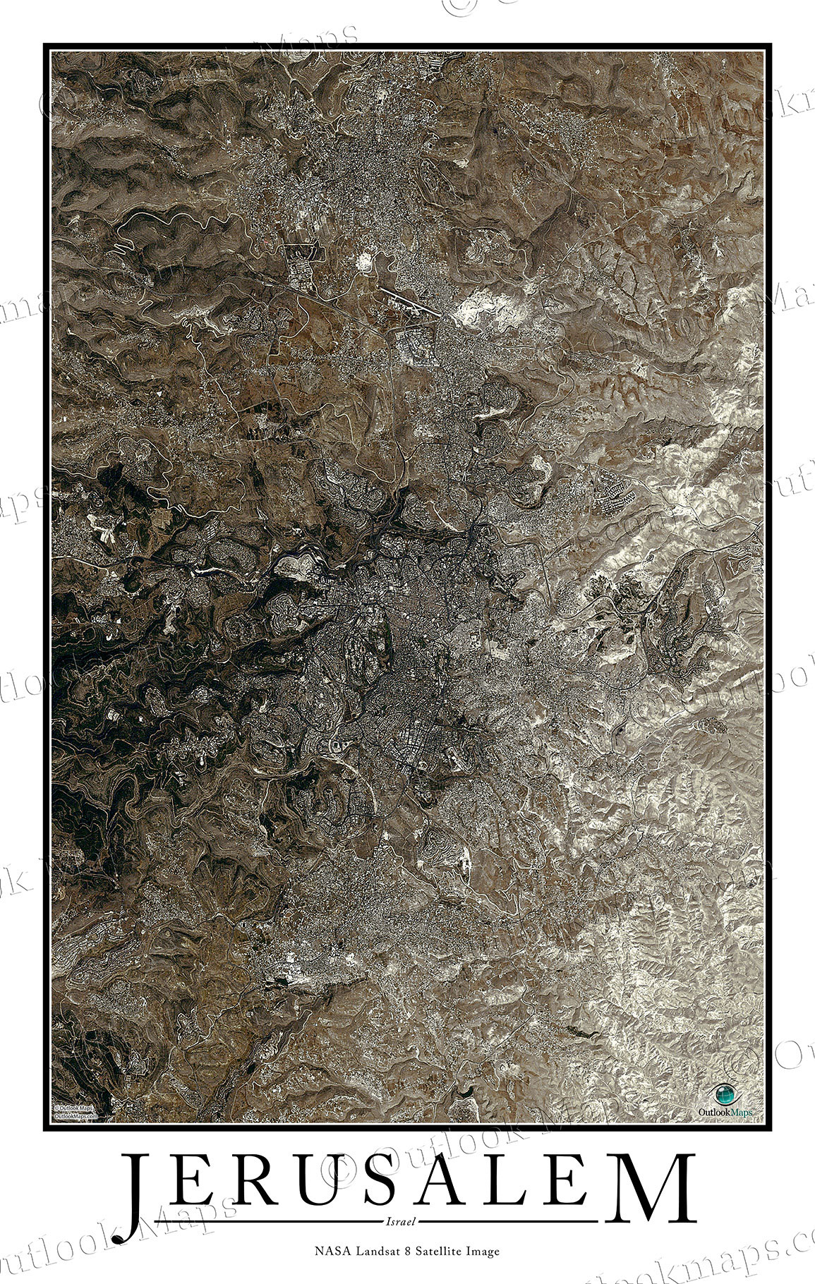
This satellite image includes the entire area around the city of Jerusalem, one of the most historical cities in the world, and certainly the most significant religious city.

Neighboring cities such as al Bira, al-Ram, Abu Dis, Katane, Beitar Ilit, and others are included in the image.

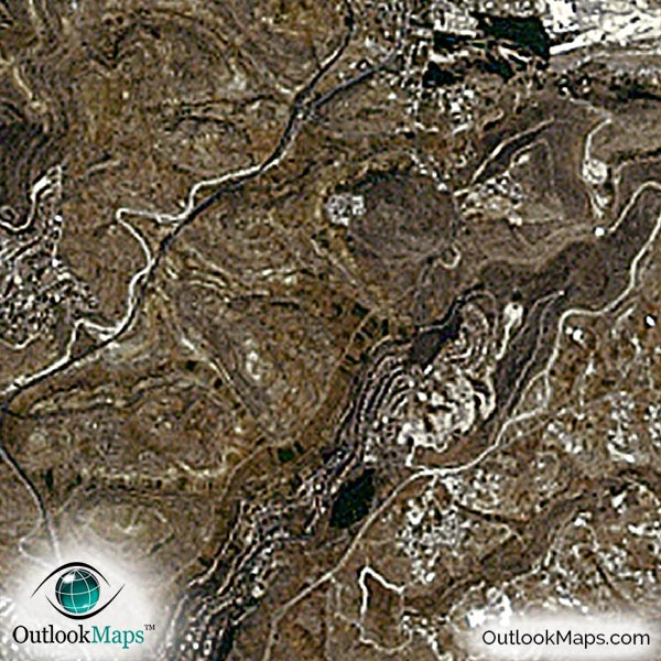
The native resolution of the satellite imagery is 1 px = about 15 meters, which is detailed enough to see large buildings, parks, neighborhoods, major streets, golf courses, and many other features of the city.

Many specific sites and buildings can be found in this aerial image.

The Dome of the Rock area is among the most famous landmarks, and it can be found in the image.

The natural aspects of the city also are pronounced. To the east are some hills with vegetation and to the west lies mostly dry and baron desert.

Satellite Map for Decoration

Jerusalem Aerial Map as Home Decor

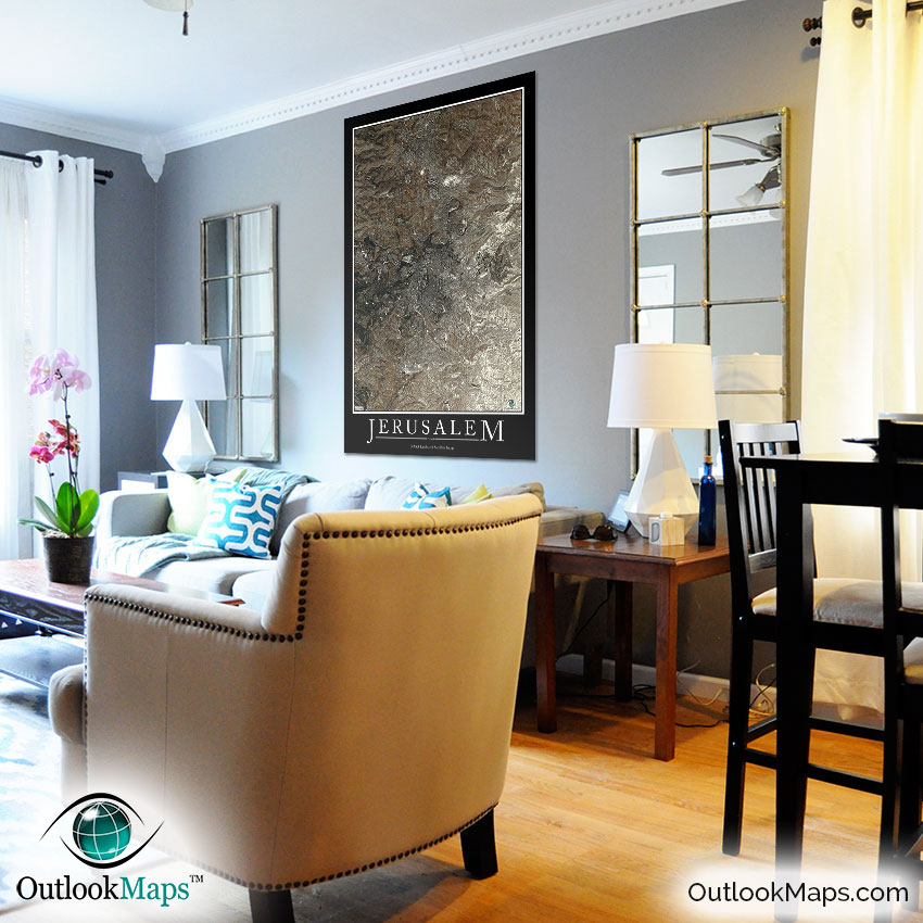
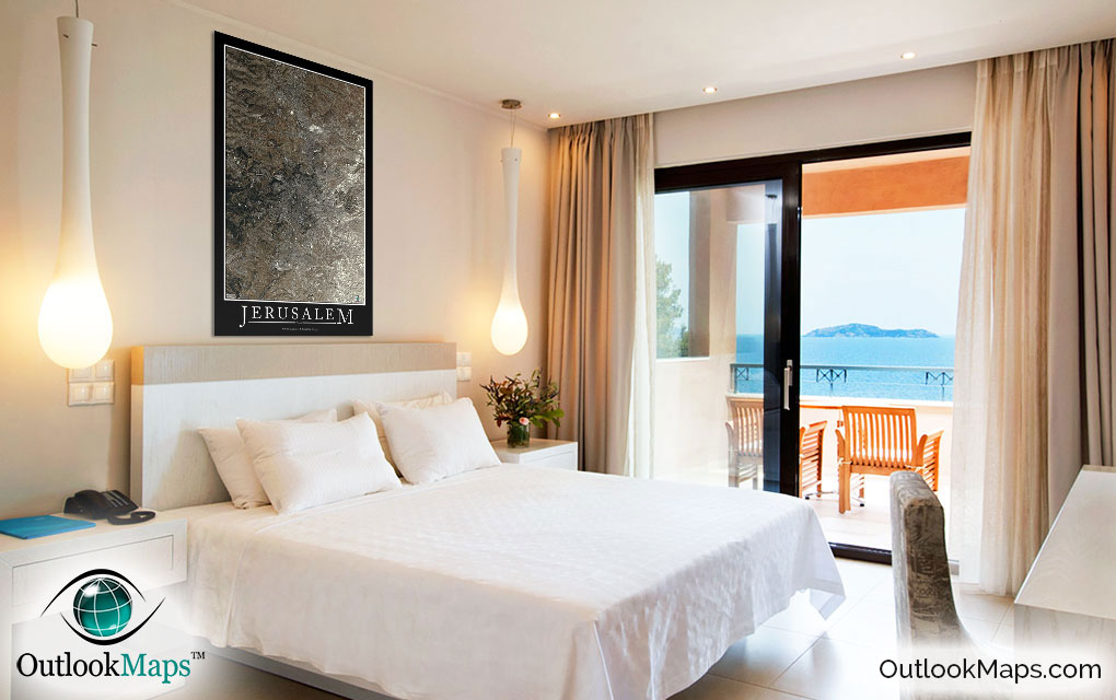
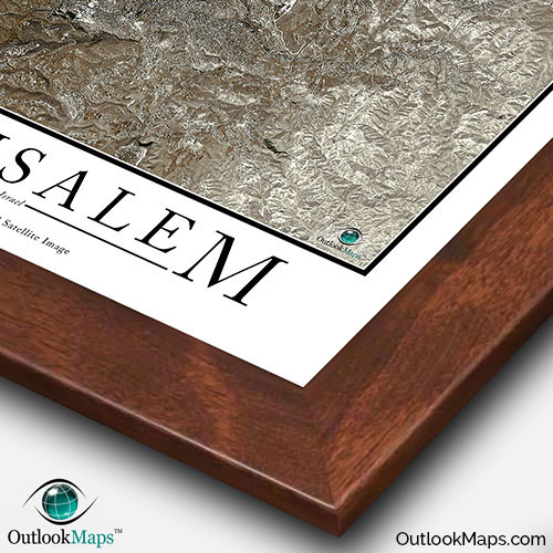
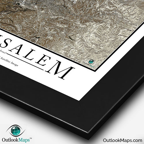
This Jerusalem satellite map is styled with a classic poster appearance - a tasteful border around the map and the title ''JERUSALEM'' printed at the bottom with traditional poster font. The print is available with either a white or black background.

The aerial image is detailed enough to look crisp and sharp even when printed at large sizes.

We also offer several framing options, making the map a perfect piece to display on your home, office, or business wall for both functional use and artistic decoration.

Purchase


product ordering options image
Large - 29.5 in. x 46.4 in. (standard)
$49
$69
$79
$149
$249
Small - 13.2 in. x 20.8 in.
$19
$25
$29
$49
$79
Medium - 20.8 in. x 32.8 in.
$29
$39
$49
$89
$149
Huge - 44.8 in. x 70.7 in.
$99
$129
$159
$649
$849
Mural - 60.0 in. x 94.5 in.
$199
$249
$279

Frame Options

Map Frame Styles: Canadian Walnut, Black Wood, Birch, Old World Silver, and Brushed Aluminum


Other City Maps

Aerial Image Satellite Map of Dubai Poster
Dubai Satellite Map

Starting at $19
Aerial Image Satellite Map of Istanbul Poster
Istanbul Satellite Map

Starting at $19
Aerial Image Satellite Map of Rome Poster
Rome Satellite Map

Starting at $19
All City Maps

Other Satellite Image Maps

Satellite Image Map of the World
World Satellite Map

Starting at $29
All Satellite Image Maps

Further Questions?

Don't worry, we're here to help!

>> contact us

Customer Reviews

>> Back to Top