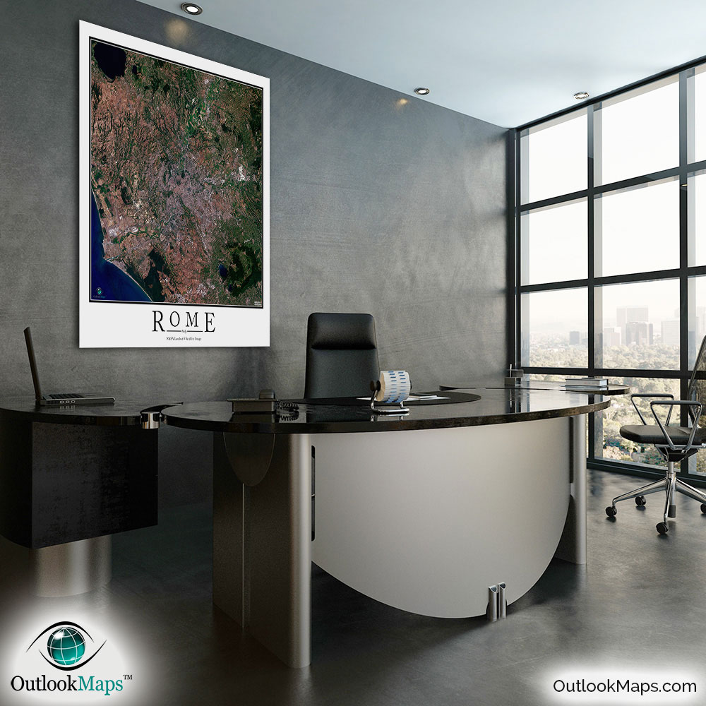
Rome Aerial Satellite Map Poster


(Click images to see full-size)
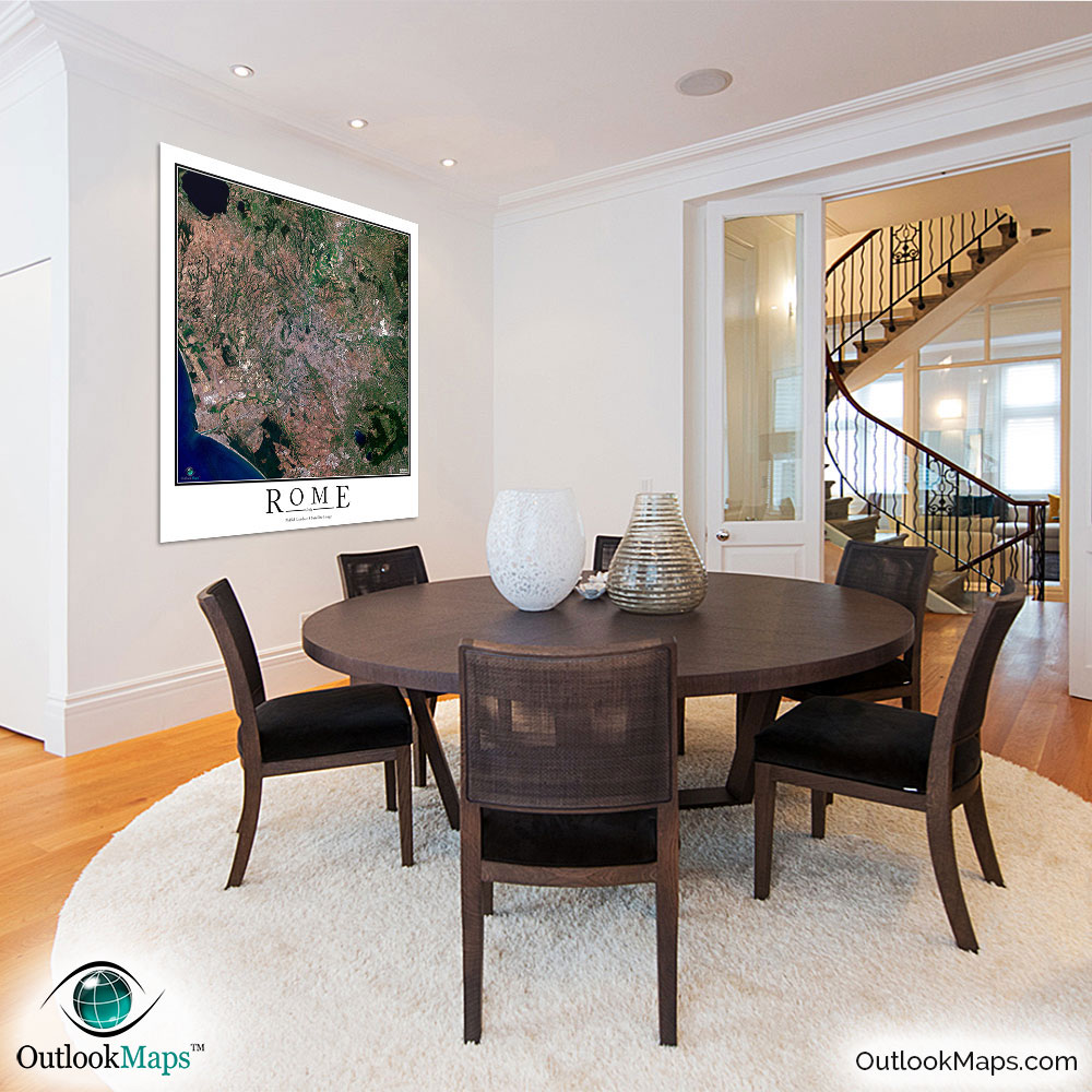
This satellite print of the Rome area does not include any additional text or line layers - it is a clean and uncluttered image of Rome as seen from space.
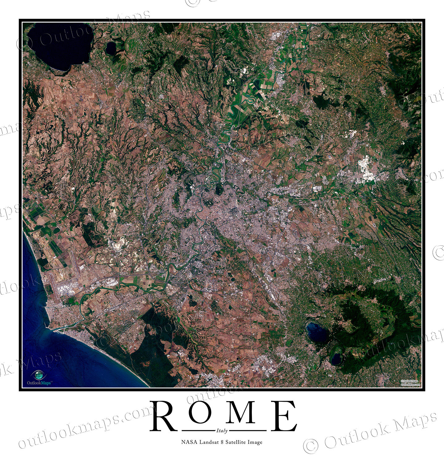

This aerial image map of Rome includes the entire Rome area. Smaller cities and suburbs like Fiumicino, Ciampino, Tivoli Terme, Monterotondo, Riano, and others are also shown in the image.
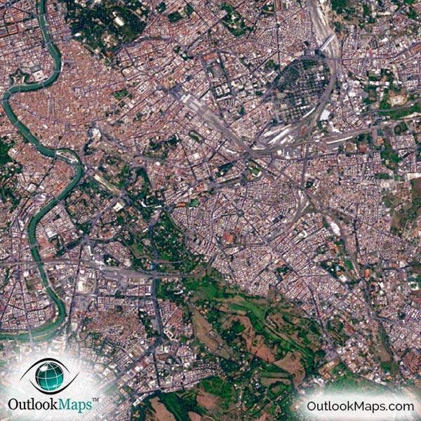
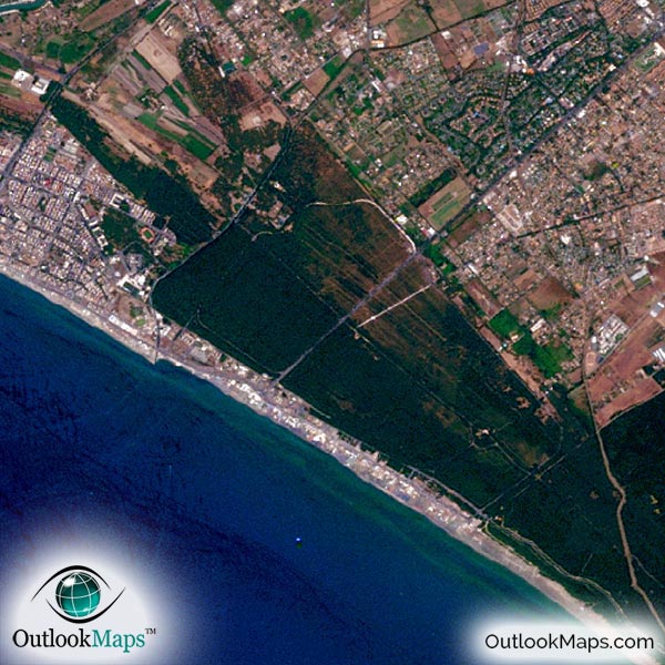
The native resolution of the satellite imagery is 1 px = about 15 meters, which is detailed enough to see large buildings, parks, neighborhoods, major streets, golf courses, and many other features of the city.
Airports are some of the most prominent features seen in the map. Rome's two largest airports, Fiumicino Leonardo da Vinci International Airport and Ciampino G.B. Pastine International Airport are both clearly visible.
Rome contains many well-known landmarks and many of them are visible in this image, including the Coliseum, Spanish Steps, and Pantheon.
You'll also clearly see the Vatican City and sporting venues like Olympic Stadium and Stadio Flaminio.
The satellite map also shows natural features like the Tiber River which runs through the heart of Rome, Bracciano Lake, Lake Albano, and the Tyrrhenian Sea of the Mediterranean.
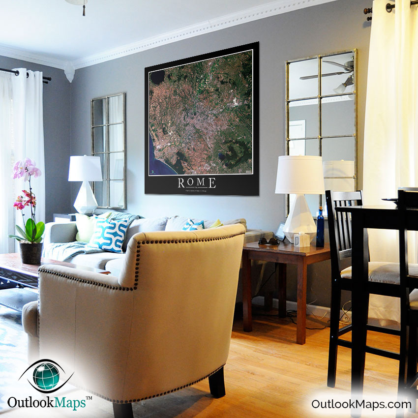
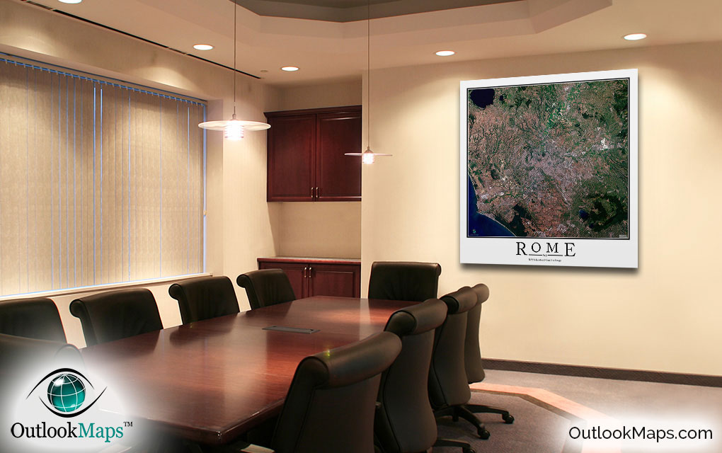
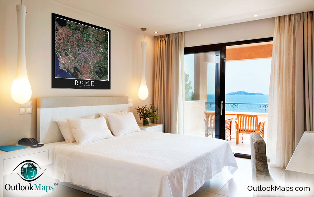
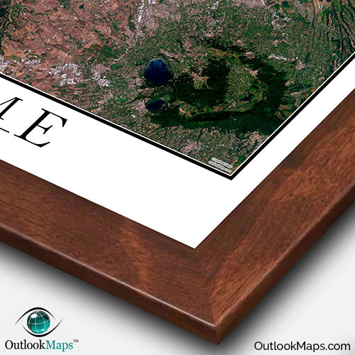
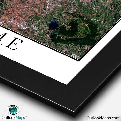
This Rome satellite map is styled with a classic poster appearance - a tasteful border around the map and the title ''ROME'' printed at the bottom with traditional poster font. The print is available with either a white or black background.
The aerial image is detailed enough to look crisp and sharp even when printed at large sizes.
We also offer several framing options, making the map a perfect piece to display on your home, office, or business wall for both functional use and artistic decoration.