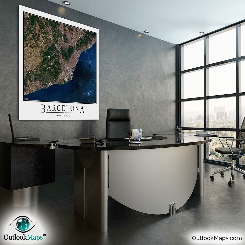
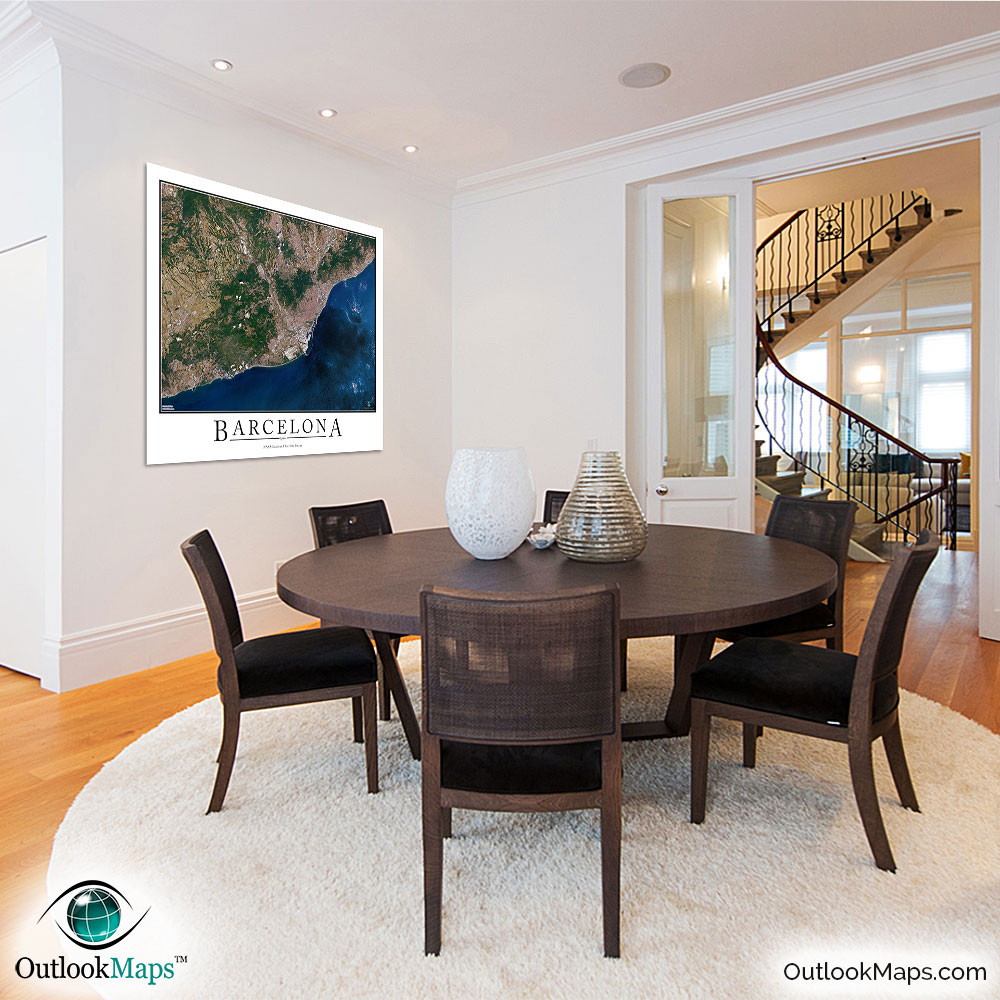
Barcelona Aerial Satellite Map Poster


(Click images to see full-size)
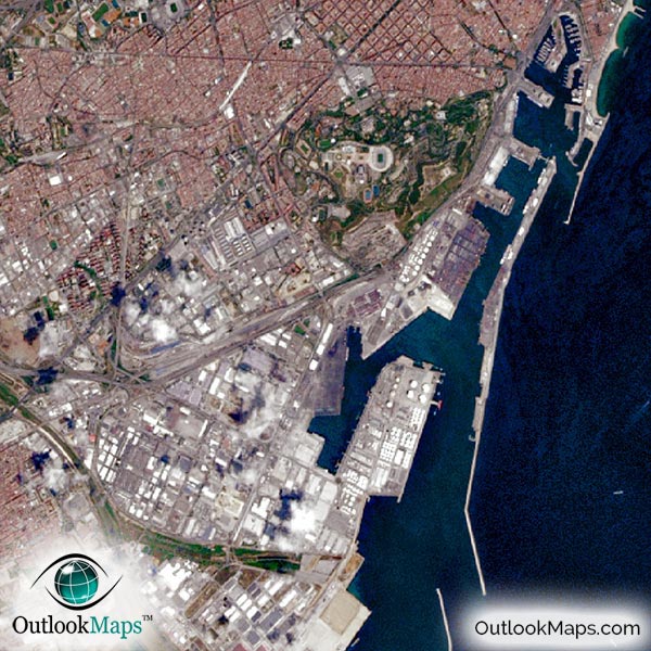
This satellite print of the Barcelona area does not include any additional text or line layers - it is a clean and uncluttered image of Barcelona as seen from space.
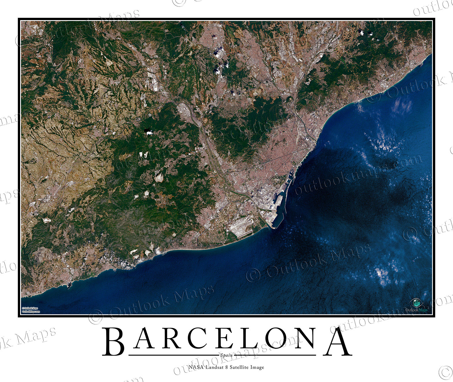
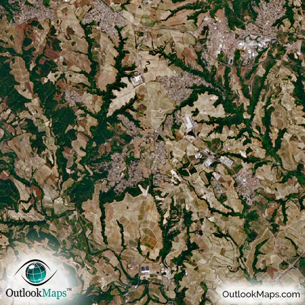
The entire Barcelona area is shown in this aerial map. Neighboring suburbs and regions such as Castelldefels, Badalona, Sabadell, Terrassa, and Cerdanyola del Valles are also shown.
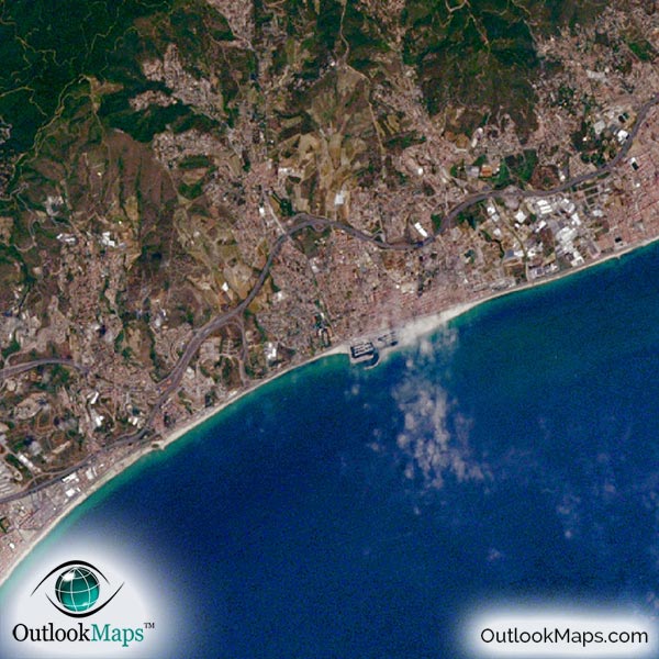
The native resolution of the satellite imagery is 1 px = about 15 meters, which is detailed enough to see large buildings, parks, neighborhoods, major streets, golf courses, and many other features of the city.
Barcelona's El Prat Airport is clearly visible. Smaller airports and runways are also easy to find in the satellite image.
Barcelona's skyscrapers are also easy to find, including Hotel Arts, Torre Mapfre, Torre Agbar and others.
Barcelona is home to many famous landmarks, and you'll be able to find many of them in this aerial map, including La Sagrada Familia church, Las Ramblas Street, Barcelona Camp Nou Stadium, The Cathedral (La Seu), and others.
The satellite image also displays the natural beauty of Barcelona. The Balearic Sea (in the Mediterranean) looks especially interesting in the image. The rugged and mountainous landscape also adds to the beauty of this satellite map.
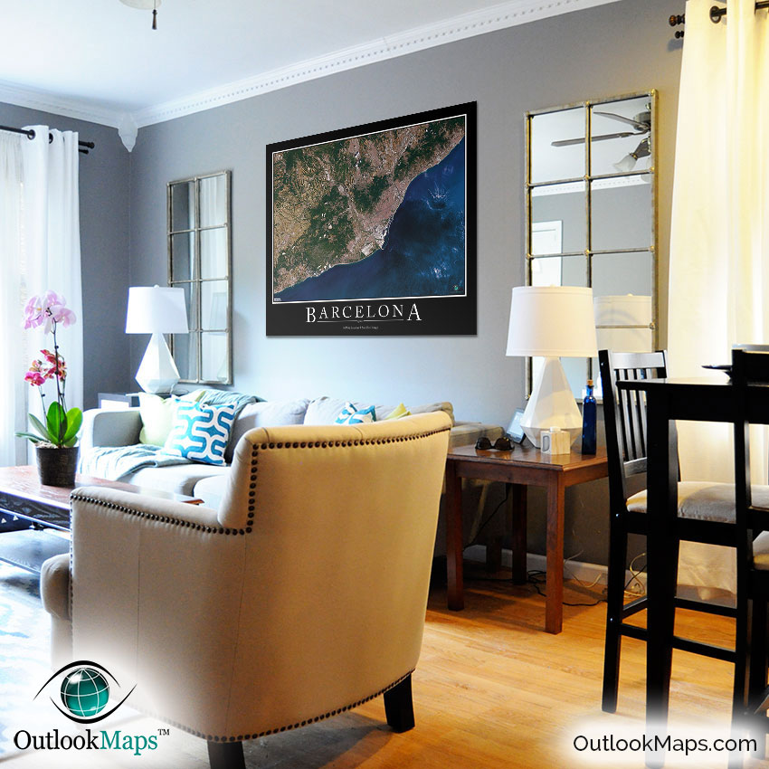
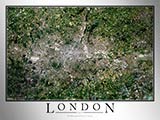
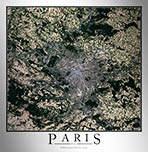
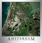
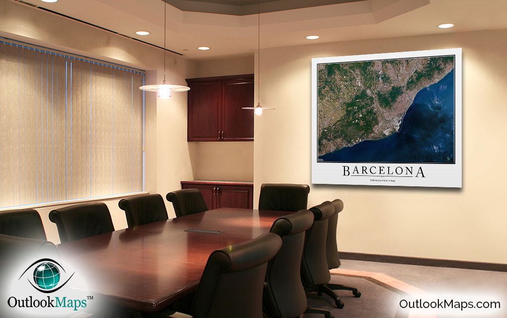
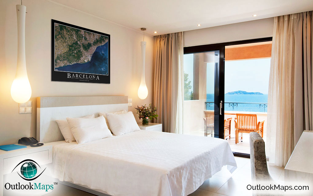
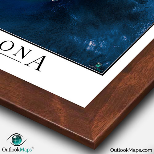
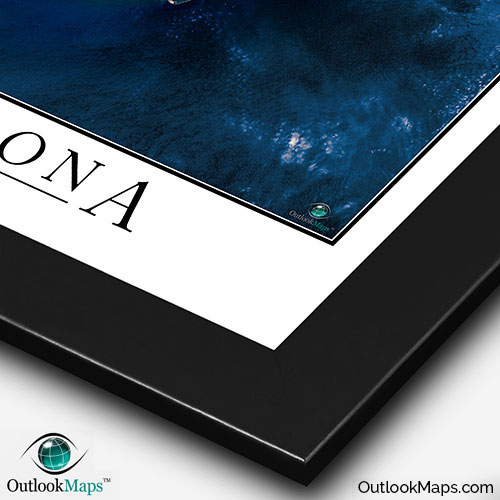
This Barcelona satellite map is styled with a classic poster appearance - a tasteful border around the map and the title ''BARCELONA'' printed at the bottom with traditional poster font. The print is available with either a white or black background.
The aerial image is detailed enough to look crisp and sharp even when printed at large sizes.
We also offer several framing options, making the map a perfect piece to display on your home, office, or business wall for both functional use and artistic decoration.