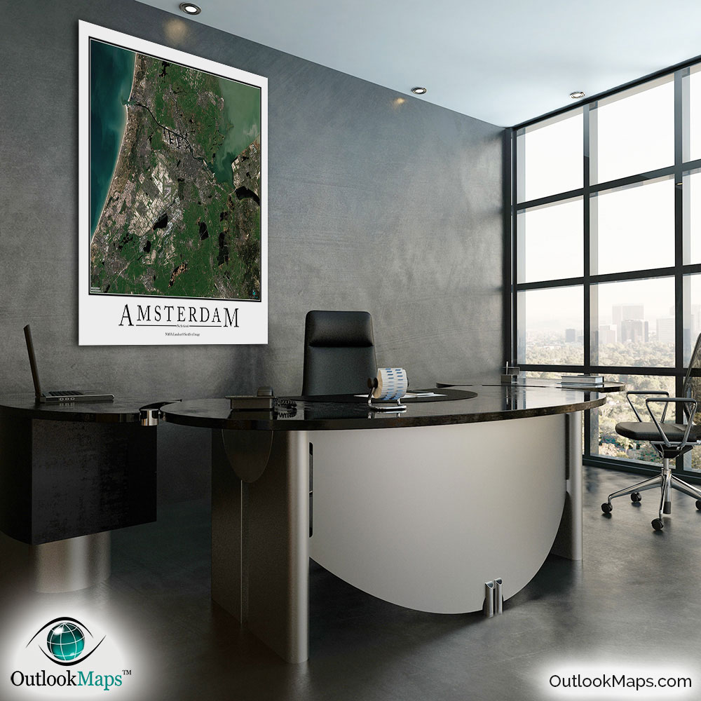
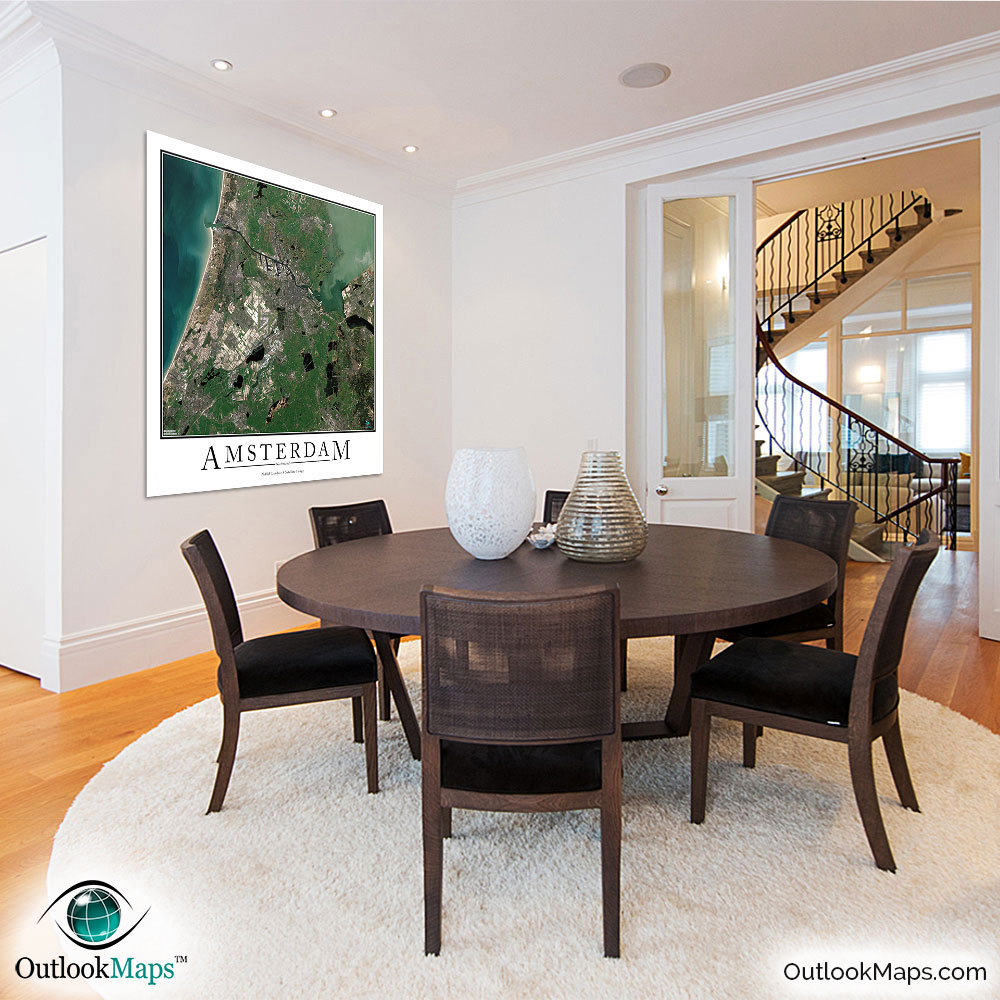
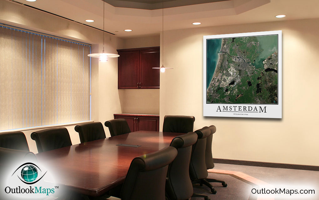
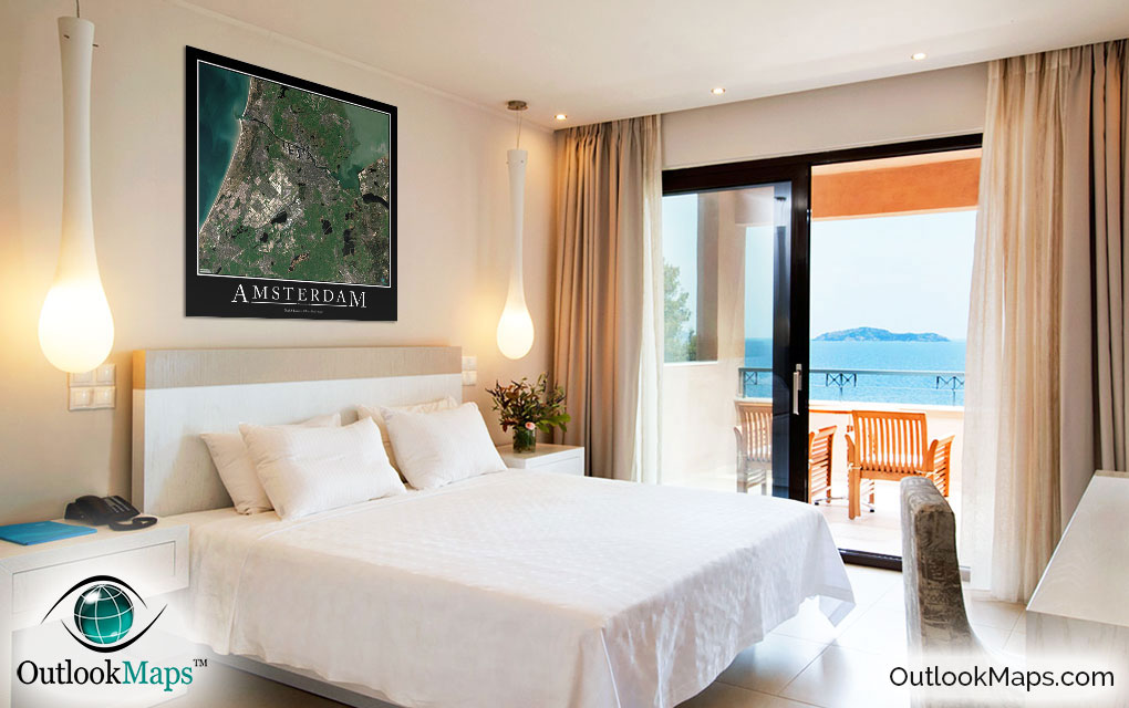
Amsterdam Aerial Satellite Map Poster


(Click images to see full-size)
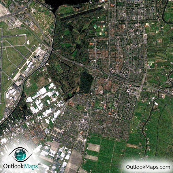
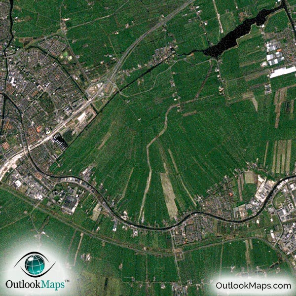
This satellite print of the Amsterdam area does not include any additional text or line layers - it is a clean and uncluttered image of Amsterdam as seen from space.
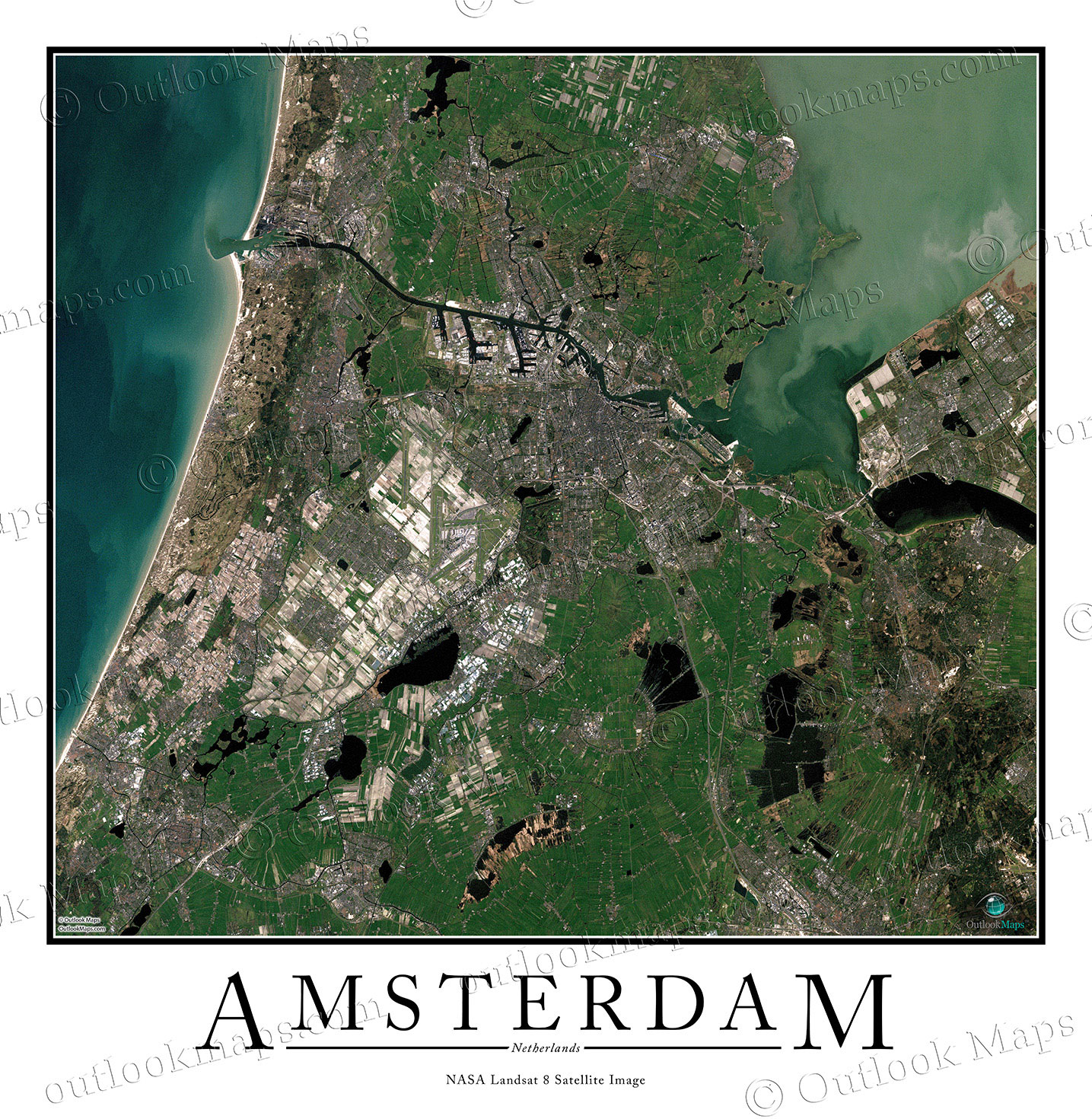
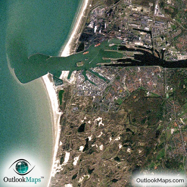
This Amsterdam Aerial Image includes the entire Amsterdam area, including neighboring suburbs and regions. Haarlem, Zaanstad, Permerend, Amstelveen, Hoofddorp (among others) are all shown in the map.
The native resolution of the satellite imagery is 1 px = about 15 meters, which is detailed enough to see large buildings, parks, neighborhoods, major streets, golf courses, and many other features of the city.
Airports are especially easy to see in the map. Schiphol Amsterdam Airport is very easy to identify, but you can also find many smaller airports in the region.
Amsterdam's largest and tallest buildings can all be found in the image, including Rembrandt Tower, Mondriaantoren, Amsterdam Symphony A & B, Millennium Tower, and many others.
All of Amsterdam's landmarks and points of interest are also visible in the image. The Van Gogh Museum, Rijksmuseum, Amsterdam AernA and the main canals of Herengracht, Prinsengracht, and Keizersgracht are all easy to see.
Both coasts, the North Sea to the west and the Markermeer Bay to the east, are shown in the image. You can also see many fields, lakes, ponds, canals, and parks throughout the landscape.
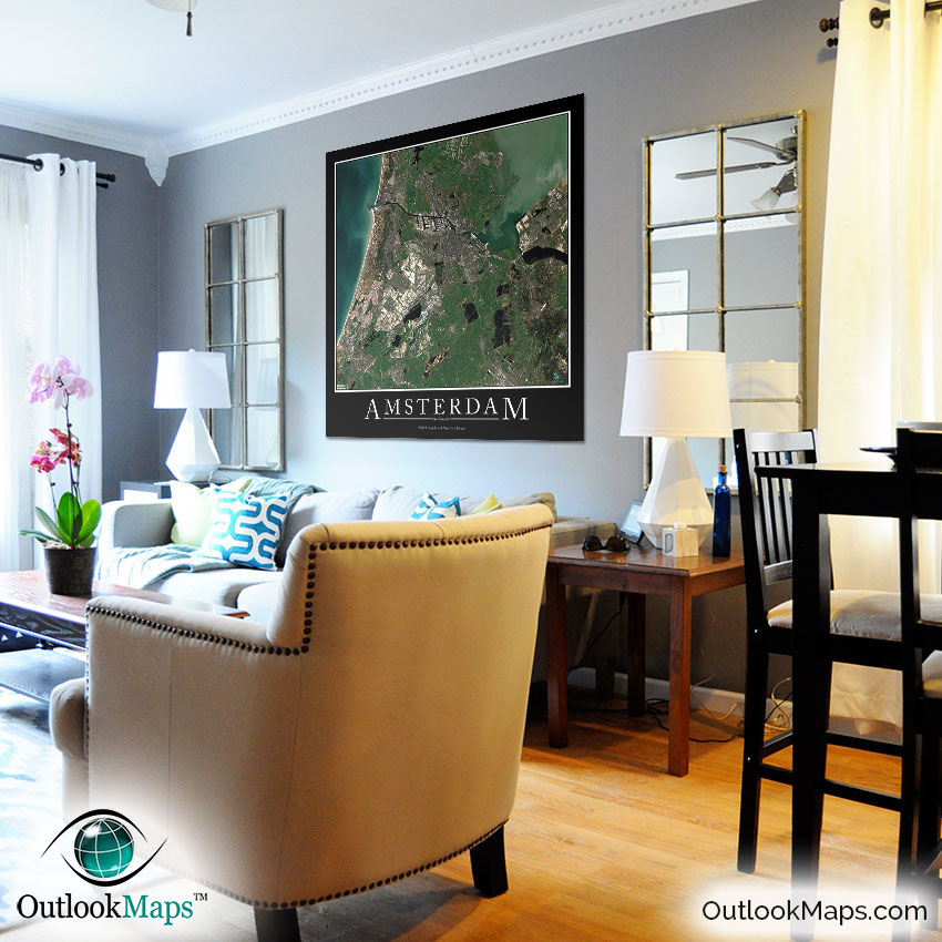
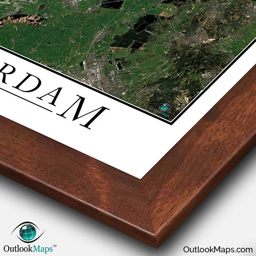
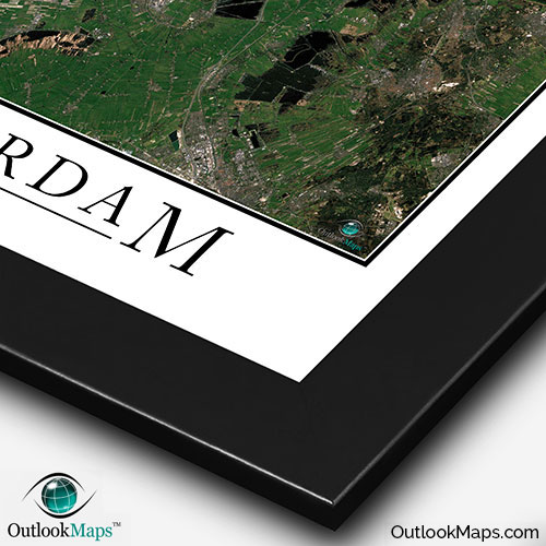
This Amsterdam satellite map is styled with a classic poster appearance - a tasteful border around the map and the title ''AMSTERDAM'' printed at the bottom with traditional poster font. The print is available with either a white or black background.
The aerial image is detailed enough to look crisp and sharp even when printed at large sizes.
We also offer several framing options, making the map a perfect piece to display on your home, office, or business wall for both functional use and artistic decoration.