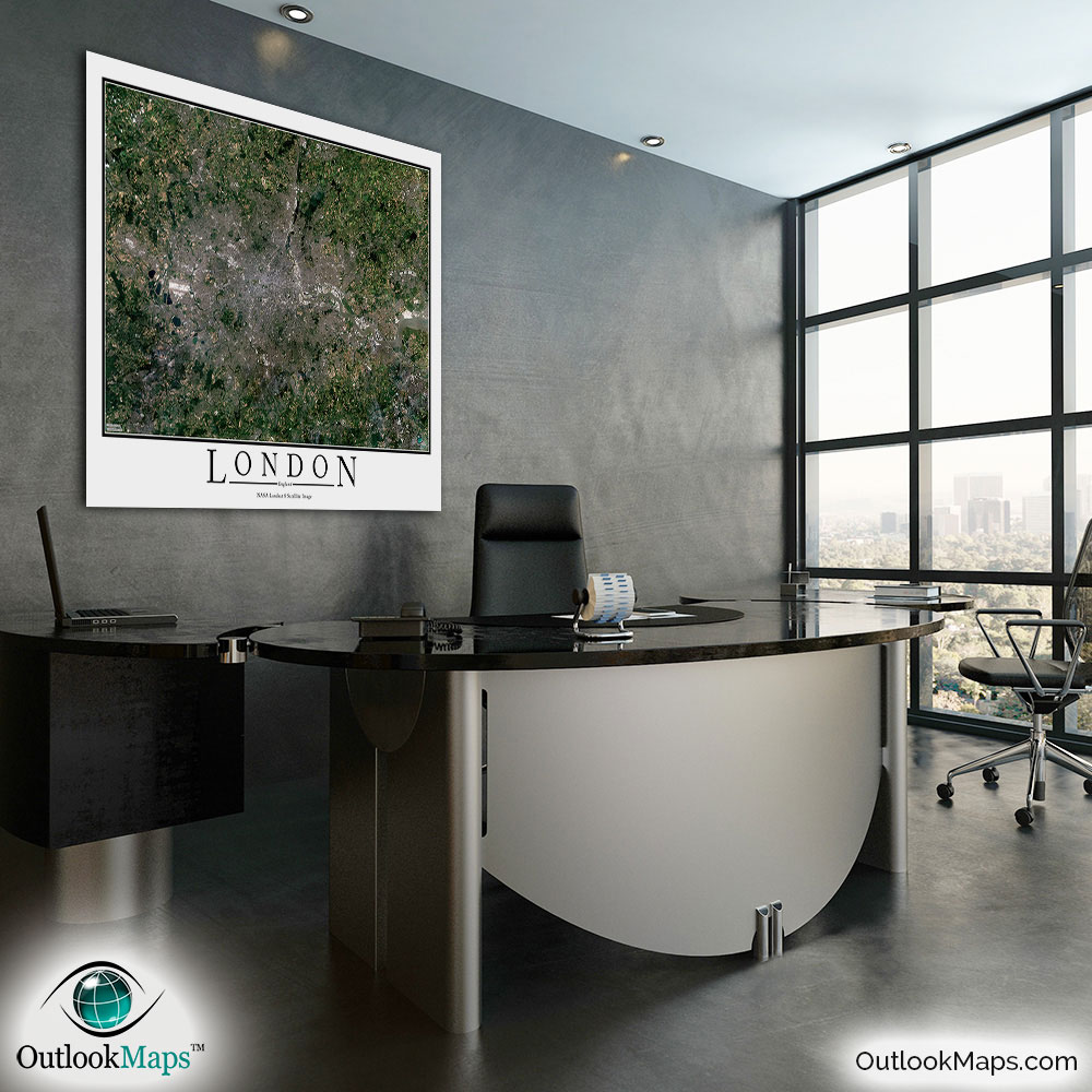
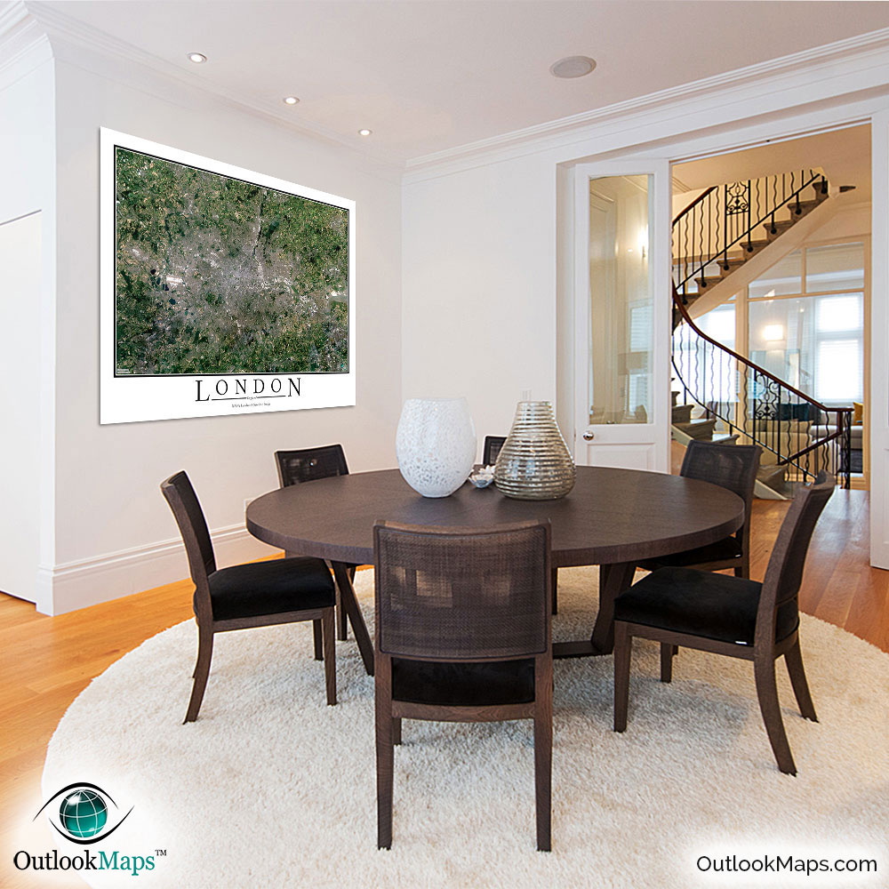
London Aerial Satellite Map Poster

An aerial view of London, England taken by NASA satellites. The image is current, high-detailed, and makes a gorgeous poster for display.

Features

  • NASA Landsat 8 Image
  • Current Image
  • High Resolution: 1 pixel = 15 meters
  • Month of Image: July
  • Minimal to No Cloud Cover
  • No Text Labels
  • Either White or Black Background
  • Includes Entire London Area
  • Stylish Poster Layout - Looks great framed

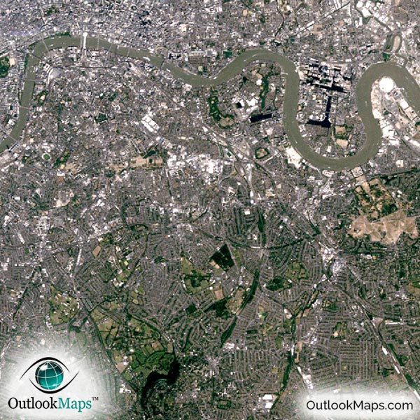
This satellite print of the London area does not include any additional text or line layers - it is a clean and uncluttered image of London as seen from space.

Product Information

Map Name:
Model Number:
LONDN991
Product Image:
LONDN991 - London Satellite Map
Map Type:
Wall Map (not folded)
Description:
High resolution print of London satellite Image. Poster can be laminated, mounted, and framed. Aerial image taken from NASA Landsat 8 satellites.
Publisher/Brand:
Outlook Maps
Price:
starting at $19
Availability:
In Stock

What's Visible in the Satellite Image?

London Aerial Map Detail

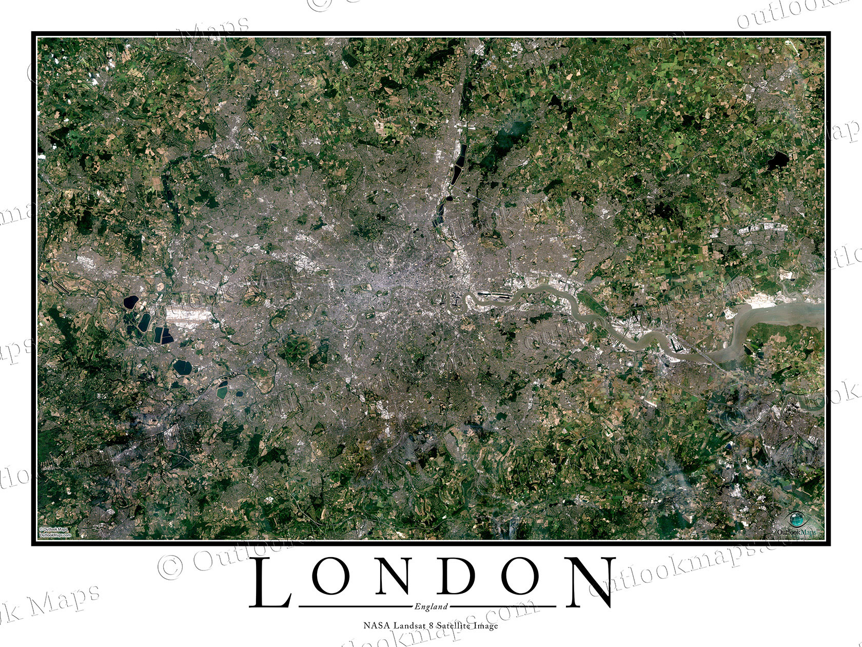
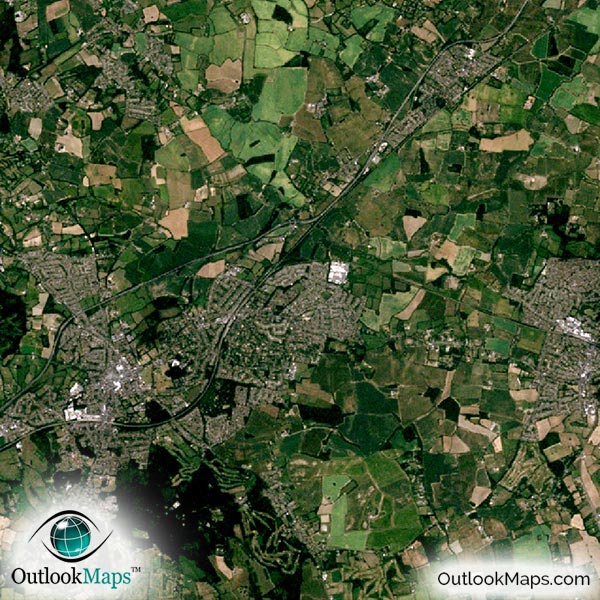
This aerial image shows the entire London area. Smaller cities and suburbs, such as Slough, Romford, Enfield, Croydon, and Bromley are all included in the map.

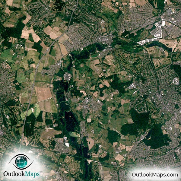
The native resolution of the satellite imagery is 1 px = about 15 meters, which is detailed enough to see large buildings, parks, neighborhoods, major streets, golf courses, and many other features of the city.

Both Heathrow Airport and London City Airport are shown in the image and easy to find. You'll also find some smaller airports and runways throughout the region.

In downtown London, you'll be able to see London's large buildings and skyscrapers, such as the Shard, One Canada Square, Heron Tower, and the Leadenhall Building.

You'll also find many of London's landmarks like Museums, the Tower of London, Parliament, and Big Ben.

You'll find many natural features in the image too. Rivers, like the River Thames, and many lakes and ponds can be found throughout the map. Much of the land outside the city is agriculture lands, and you'll be able to see specific fields of crops.

Satellite Map for Decoration

London Aerial Map as Home Decor

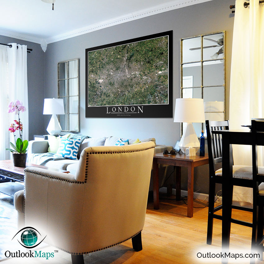
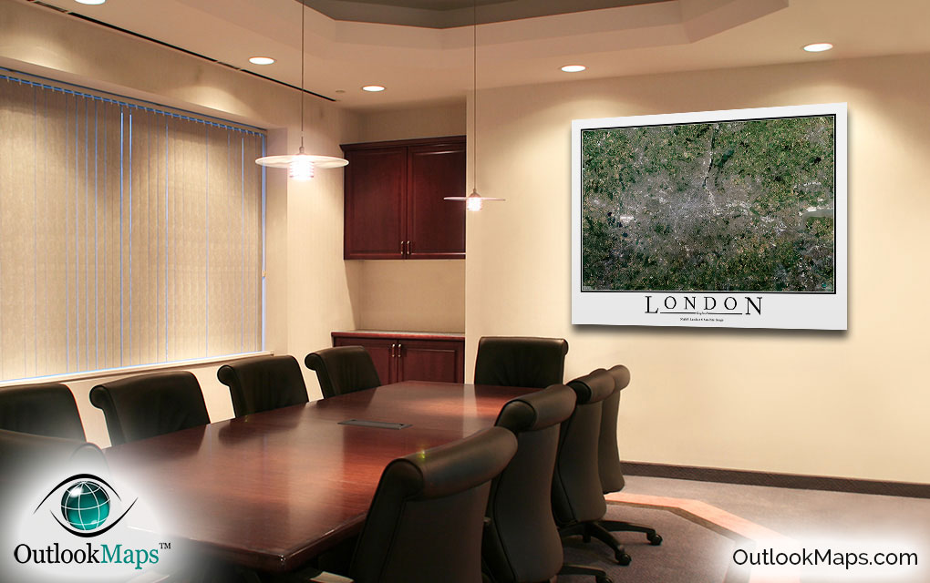
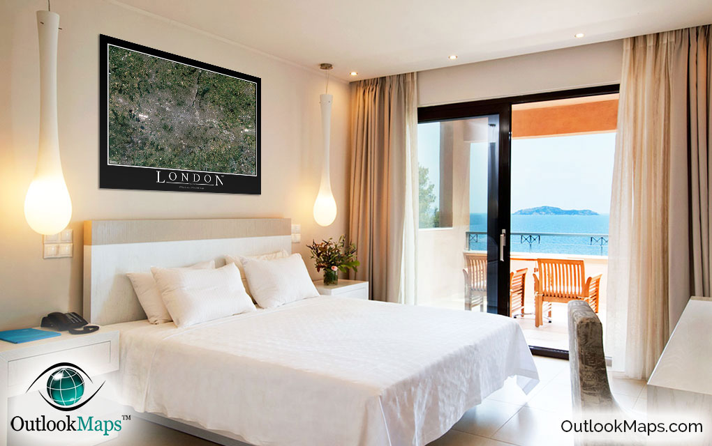
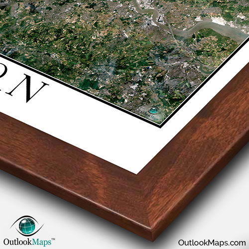
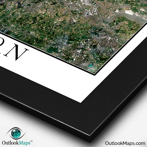
This London satellite map is styled with a classic poster appearance - a tasteful border around the map and the title ''LONDON'' printed at the bottom with traditional poster font. The print is available with either a white or black background.

The aerial image is detailed enough to look crisp and sharp even when printed at large sizes.

We also offer several framing options, making the map a perfect piece to display on your home, office, or business wall for both functional use and artistic decoration.

Purchase


product ordering options image
Large - 42.7 in. x 32.0 in. (standard)
$49
$69
$79
$149
$249
Small - 19.2 in. x 14.4 in.
$19
$25
$29
$49
$79
Medium - 30.2 in. x 22.7 in.
$29
$39
$49
$89
$149
Huge - 64.0 in. x 48.0 in.
$99
$129
$159
$649
$849
Mural - 80.0 in. x 60.0 in.
$199
$249
$279

Frame Options

Map Frame Styles: Canadian Walnut, Black Wood, Birch, Old World Silver, and Brushed Aluminum


Other City Maps

Aerial Image Satellite Map of Paris Poster
Paris Satellite Map

Starting at $19
Aerial Image Satellite Map of Rome Poster
Rome Satellite Map

Starting at $19
Aerial Image Satellite Map of Moscow Poster
Moscow Satellite Map

Starting at $19
All City Maps

Other Satellite Image Maps

Satellite Image Map of the World
World Satellite Map

Starting at $29
Blue Marble Poster of Planet Earth
Blue Marble Poster

Starting at $19
All Satellite Image Maps

Further Questions?

Don't worry, we're here to help!

>> contact us

Customer Reviews

>> Back to Top