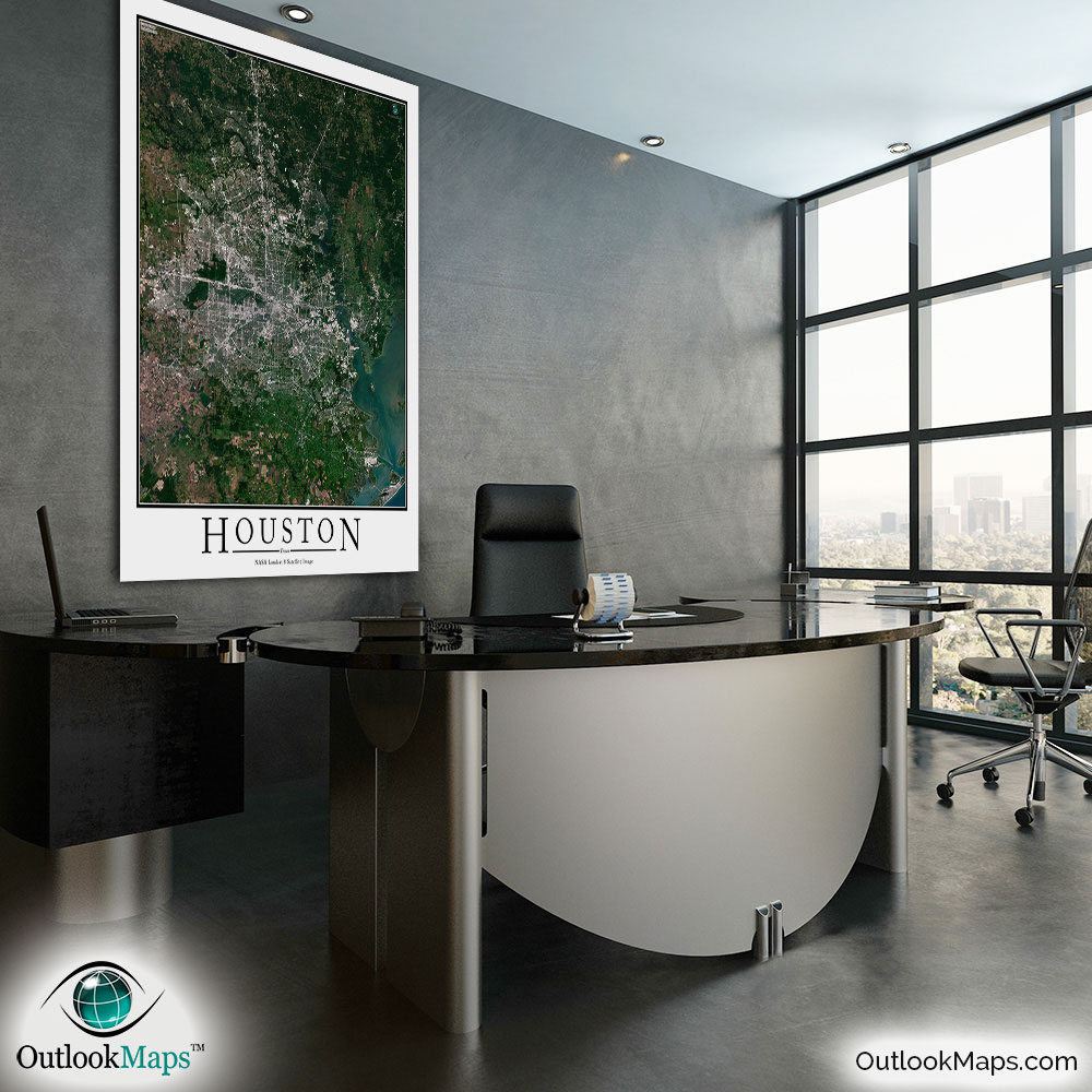
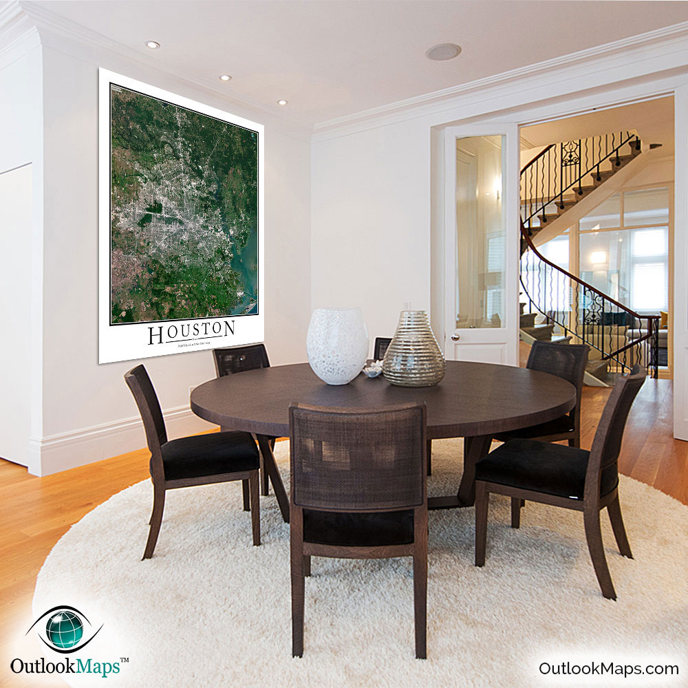
Houston Aerial Satellite Map Poster


(Click images to see full-size)
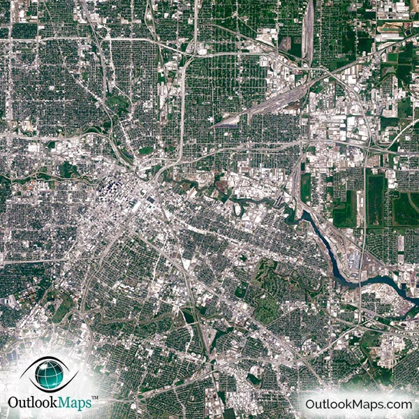
This satellite print of the Houston area does not include any additional text or line layers - it is a clean and uncluttered image of Houston as seen from space.
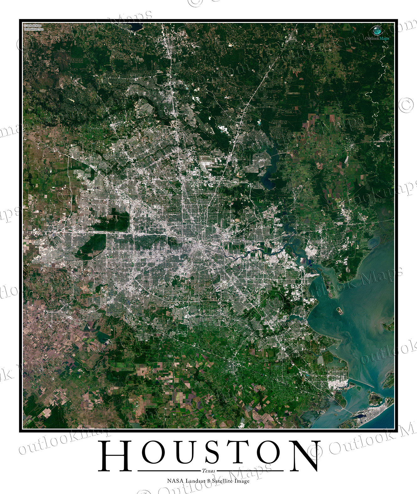
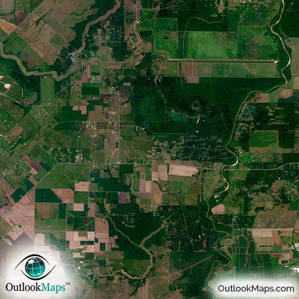
This aerial image includes the entire Houston area. Suburbs like the Woodlands, Baytown, Conroe, Galveston, Sugar Land, and Pasadena are all shown in the map.
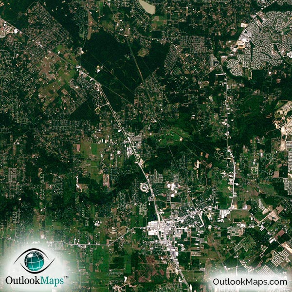
The native resolution of the satellite imagery is 1 px = about 15 meters, which is detailed enough to see large buildings, parks, neighborhoods, major streets, golf courses, and many other features of the city.
The George Bush Intercontinental Airport is one of the most pronounced landmarks visible in the image. Many other smaller airports and runways in the Houston area are also visible throughout the map.
Downtown Houston is loaded with skyscrapers and large buildings. The tallest skyscrapers are JPMorgan Chase Tower, Wells Fargo Bank Plaza, Williams Tower, and the Bank of America Center.
Other notable buildings to see include the George R. Brown Convention Center, the Toyota Center, and Minute Maid Park. You'll also be able to find the Houston Zoo, several museums, Six Flags, and several universities including the University of Houston, Rice University, Texas Southern, Sam Houston State, and others.
The most prominent natural feature is Galveston Bay to the southeast of Houston. You'll also find many lakes and ponds and rivers including the Buffalo Bayou which runs through the city.
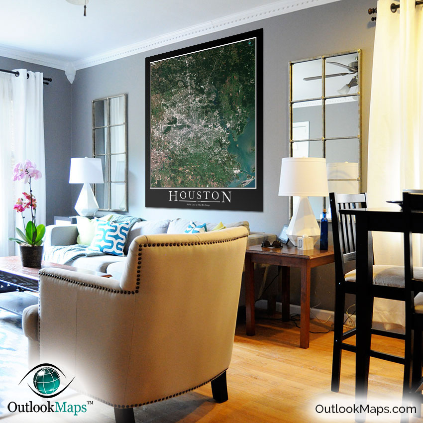
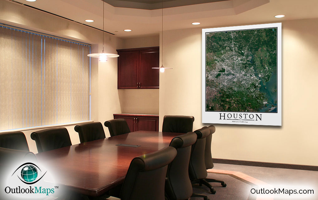
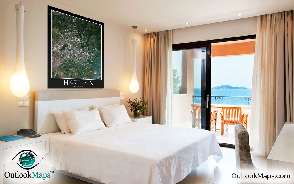
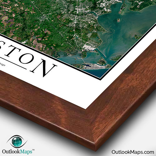
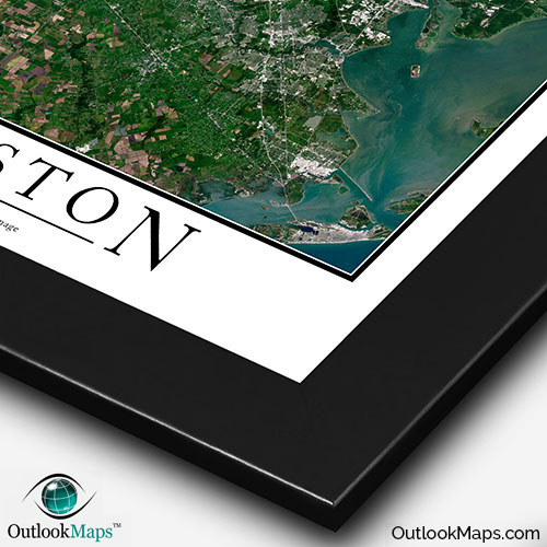
This Houston Area satellite map is styled with a classic poster appearance - a tasteful border around the map and the title ''HOUSTON'' printed at the bottom with traditional poster font. The print is available with either a white or black background.
The aerial image is detailed enough to look crisp and sharp even when printed at large sizes.
We also offer several framing options, making the map a perfect piece to display on your home, office, or business wall for both functional use and artistic decoration.