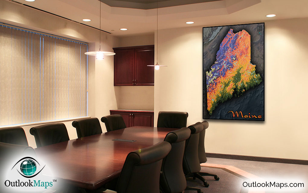
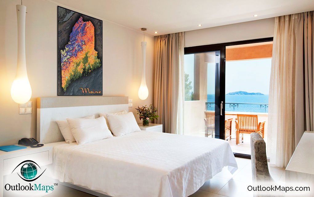
Colorful Maine Topography Physical Wall Map


(Click images to see full-size)
Note: Minimal text labels are included in order to preserve the artistic style of Maine's terrain.
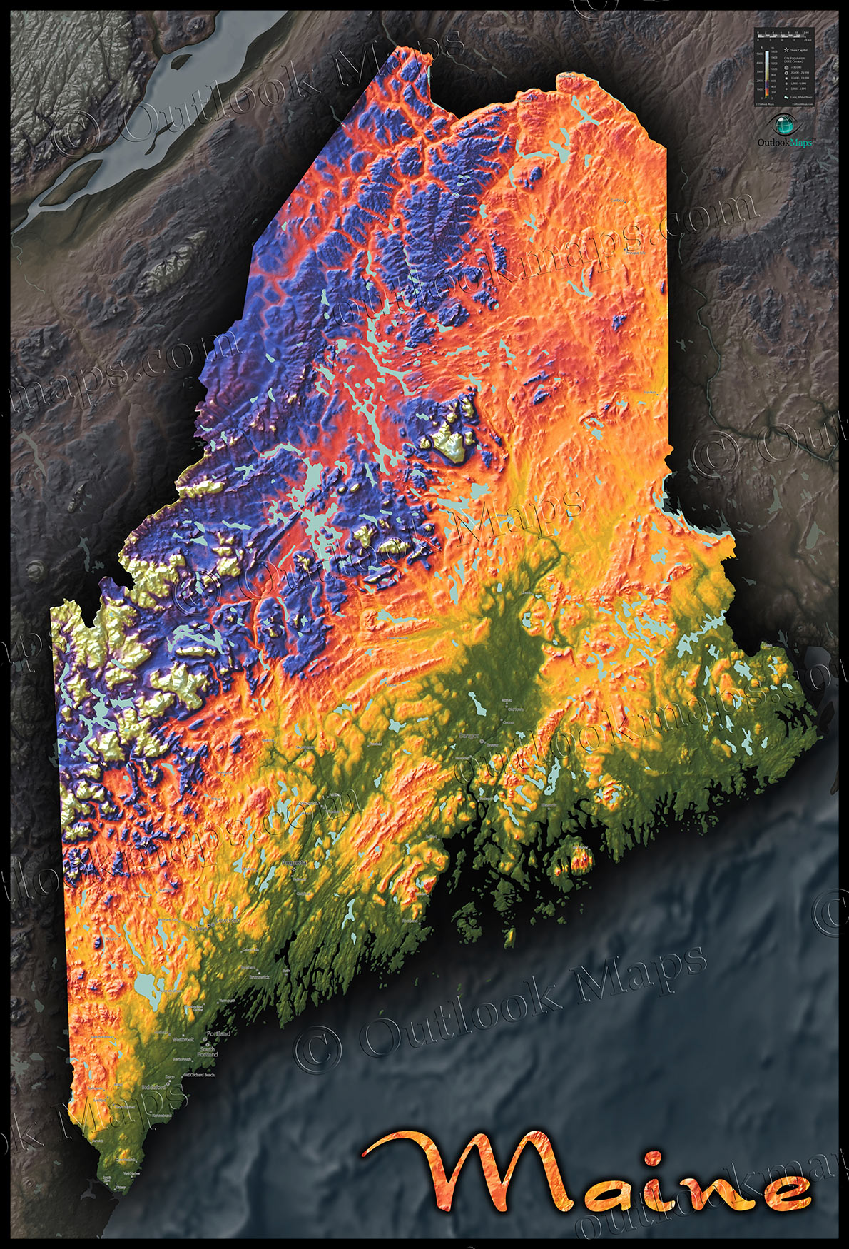
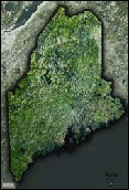
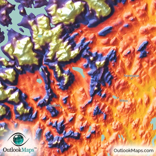
Low areas in this Maine map are colored Green. Maine's lowest elevation, obviously, is along its Atlantic Ocean coast to the south and east of the state. The Penobscot River valley is also a low-elevation area. Most of Maine's populated cities are located in this low elevation, including Portland, Bangor, Lewiston, Augusta (the capital city), and Auburn.
Golden yellow, orange, and red are used to represent mid-level elevation. This includes much of central Maine up through the northeast parts of Maine.
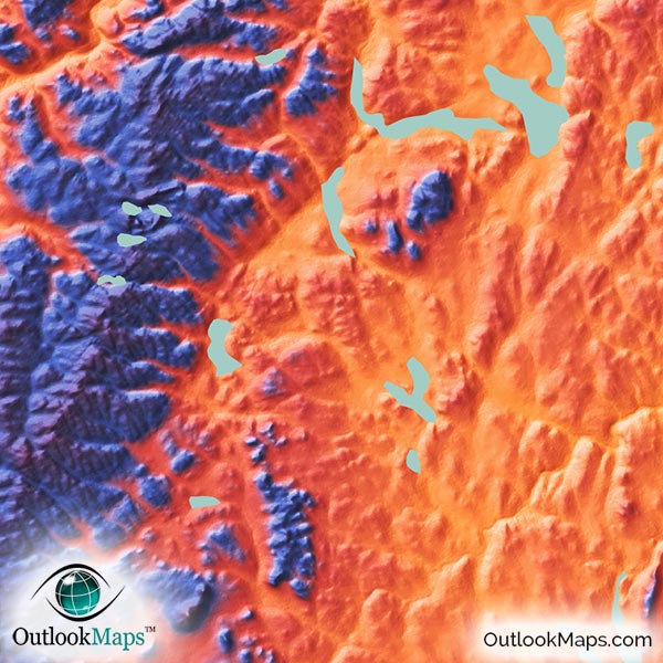
The highest areas are colored with purple, blue, and white at the mountain peaks. The Appalachian Mountains of Maine run mostly through it's north and west areas, and this is where the state is most elevated. The highest point of Maine is Mount Katahdin (5,270 ft 1606 m), which is actually somewhat isolated from the rest of Maine's other high lands in the west.
Learn how this Maine topographic image was created with digital elevation data.
The Maine landscape is mostly rugged and mountainous, especially in the north and west parts. The Appalachian Mountains are especially visible as they run up through the state's inland areas. The Longfellow Mountains (a smaller sub-range of the Appalachians) is also visible.
This physical map also includes bodies of water like lakes and reservoirs. Maine's landscape is thoroughly dotted with many lakes, including Moosehead Lake, Chamberlain Lake, Eagle Lake, Grand Lake, Nicatous Lake, Sebago Lake, and Square Lake.
Maine's many islands off its rocky Atlantic coast are also shown. The Largest ones are Mount Desert Island and Isle au Haut.
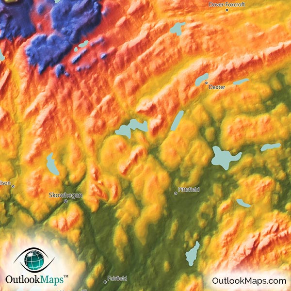
A total of 68 Maine cities and towns are labeled.
Major cities like Augusta, Portland, Bangor, Auburn, Bath, and Ellsworth are all shown.
Some of the medium and smaller towns on the map include Skowhegan, Biddeford, Farmington, South Paris, Brunswick, Brewer, Caribou, Gorham, Gardiner, Kittery, Scarborough, Lisbon Falls, Springvale, Lake Arrowhead, Bucksport, Winthrop, Oakland, Cumberland Center, Mechanic Falls, Berwick, and many others.
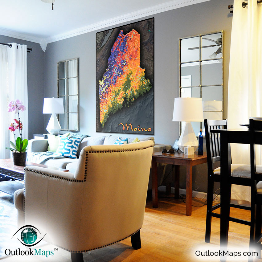
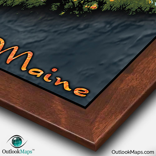
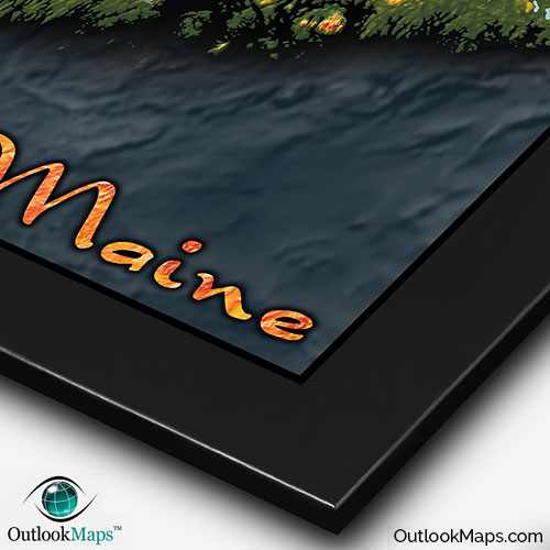
Much care has been taken to ensure this Maine topographical map looks absolutely amazing when on display. The colors are bright and vibrant and the shading provides a 3-D depth that makes Maine's landscape seem to come to life.
Maine is full of natural beauty and interesting landforms. The Appalachians, especially, look increadible when displayed in this topographic style. You'll likely spend hours exploring the many mountain peaks, ridges, and valleys throughout the states diverse landscape.
While the map can be used as a general geographic reference, we feel it's main value is the artistic style. It will make a great addition to the decor of any room: whether in your home, place of work, or even a classroom. Wherever you display it, you can be certain it will be an eye-catching wall map and inspire interest and excitement from anyone who views it.