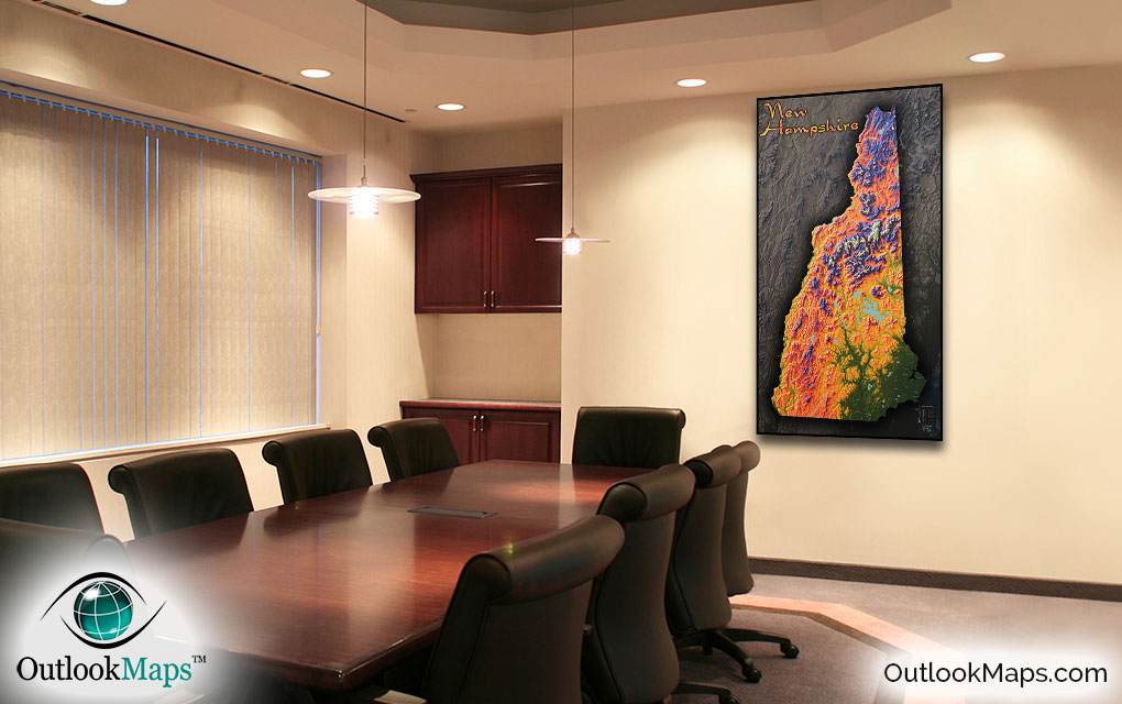
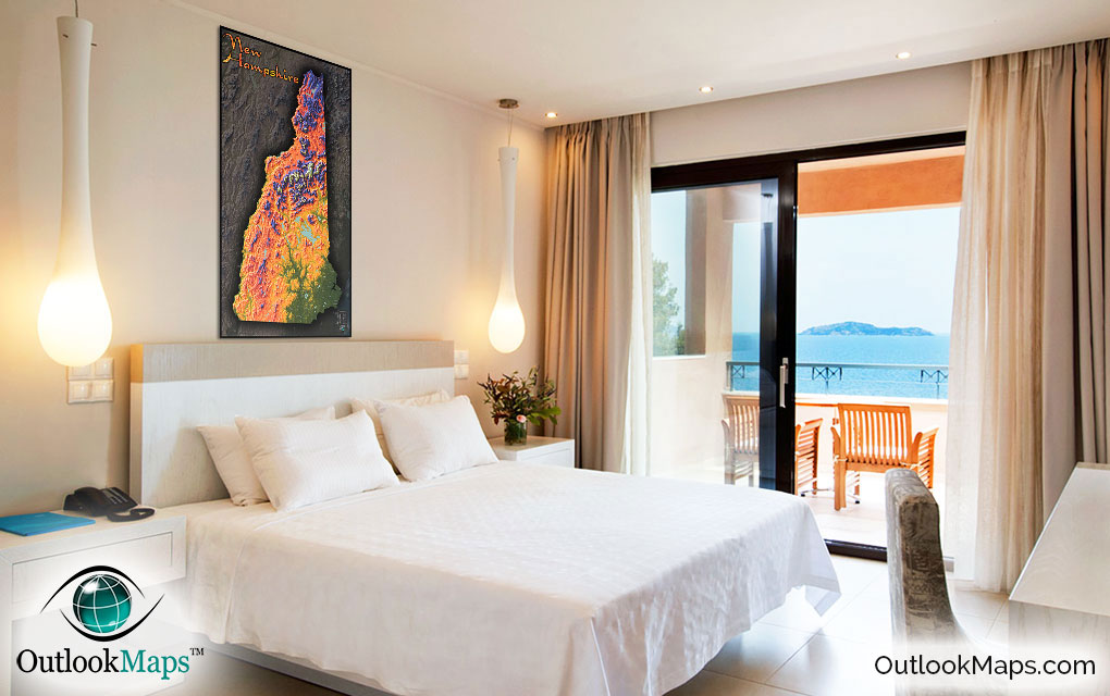
New Hampshire Wall Map: Colorful Topography


(Click images to see full-size)
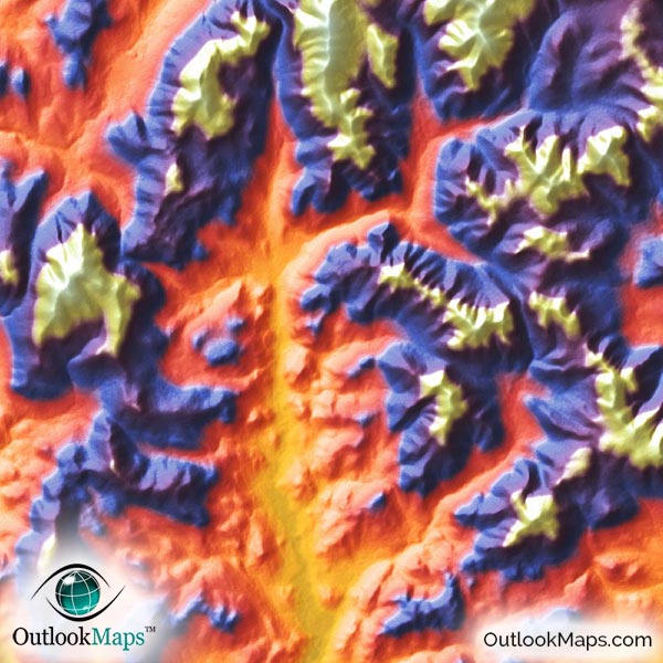
Note: Minimal text labels are included in order to preserve the artistic style of New Hampshire's terrain.
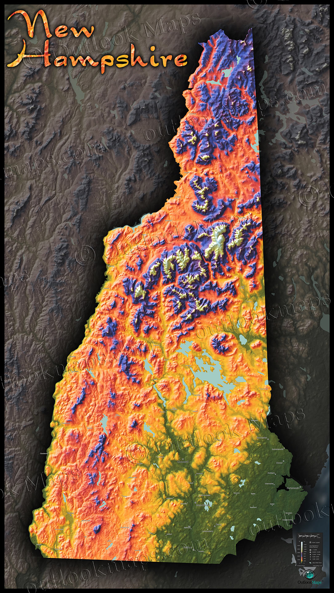
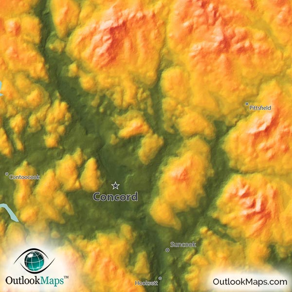
Green is the color used to represent lowest elevation. In New Hampshire, the lowest elevation is along the small Atlantic Coast, though much of the southeast part of the state is also at relatively low elevation. The Merrimack River valley in south central New Hampshire is also at low elevation.
All of New Hampshire's largest towns and cities are in this lower elevation portion of the state: Manchester, Nashua, Concord, Derry, Rochester, and others.
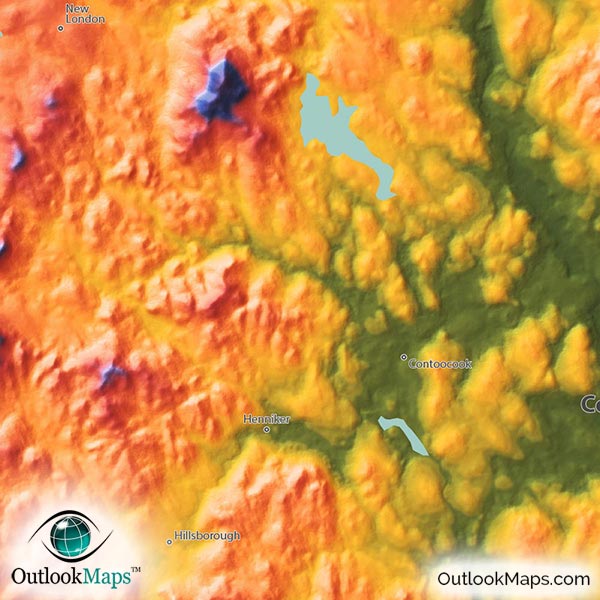
As land gains elevation, colors change to yellow, orange, and red. This mid-level elevation exists throughout the entire state at the base of New Hampshire mountains. Most of the Connecticut river on New Hampshire's west border and the large lakes in central New Hampshire are located in this mid-elevation region.
High elevation is shown with colors blue and purple, and white is used for the top of New Hampshire peaks. Most of New Hampshire's central and northern portions include the high elevation of the White Mountains. New Hampshire's highest peak is Mount Washington (1917 meters or 6288 ft), which is located in north central New Hampshire.
Learn how this New Hampshire topographic image was created with digital elevation data.
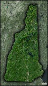
The White Mountains that run north-south through most of New Hampshire are the most obvious physical feature shown in this physical map.
River valleys can also be seen cutting through the land throughout the state.
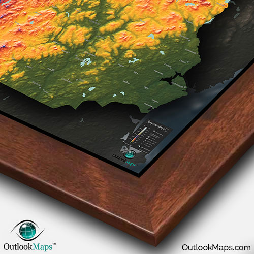
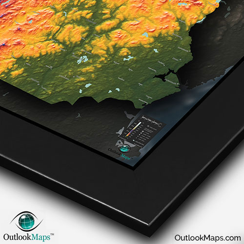
This map also includes New Hampshire's many lakes and reservoirs. Lake Winnipesaukee is New Hampshire's largest lake and clearly visible. Other smaller lakes are also shown, including Squam Lake, Umbagog Lake, First and Second Connecticut Lake, Moore Reservoir, Newfound Lake, Winnisquam Lake, and many others.
A total of 69 New Hampshire cities and towns are labeled.
All major cities like Concord, Manchester, Nashua, Dover, Keene, and Rochester are shown.
Some of the labeled medium and smaller towns include Laconia, Haverhill, Lebanon, Durham, Exeter, Franklin, Suncook, Plymouth, Hooksett, Peterborough, Wolfeboro, Hampton Beach, Henniker, Bristol, Pittsfield, Contoocook, Colebrook, Ashland, Charlestown, Groveton, Sanbornville, and many others.
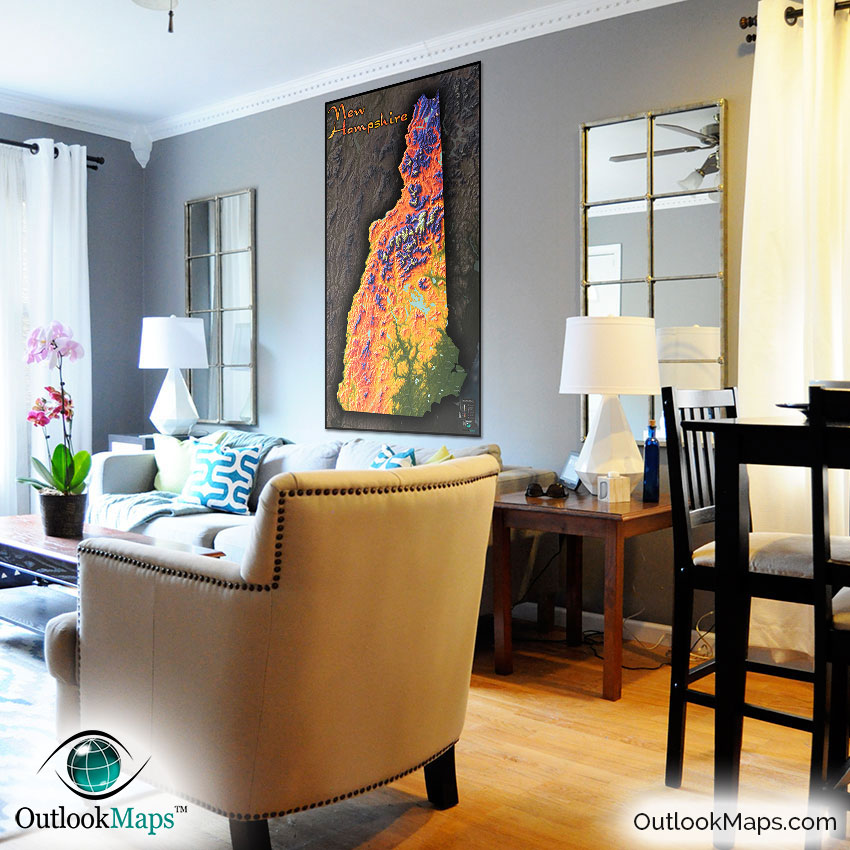
In addition to providing general New Hampshire geographic information, this New Hampshire topographical physical map will add colorful décor to any wall. The styling of the map is sleek and vibrant - as much a piece of art as an informational and accurate map.
The map will look great in any room. You can display it at home, at work, in classrooms (Kids will love the bright colors and cool style), or local businesses - pretty much anywhere to provide a realistic and detailed representation of New Hampshire's incredible natural beauty and terrain.