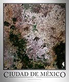
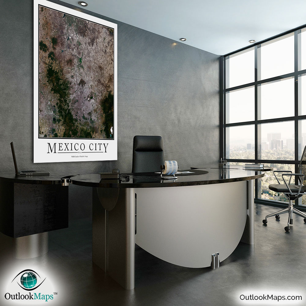
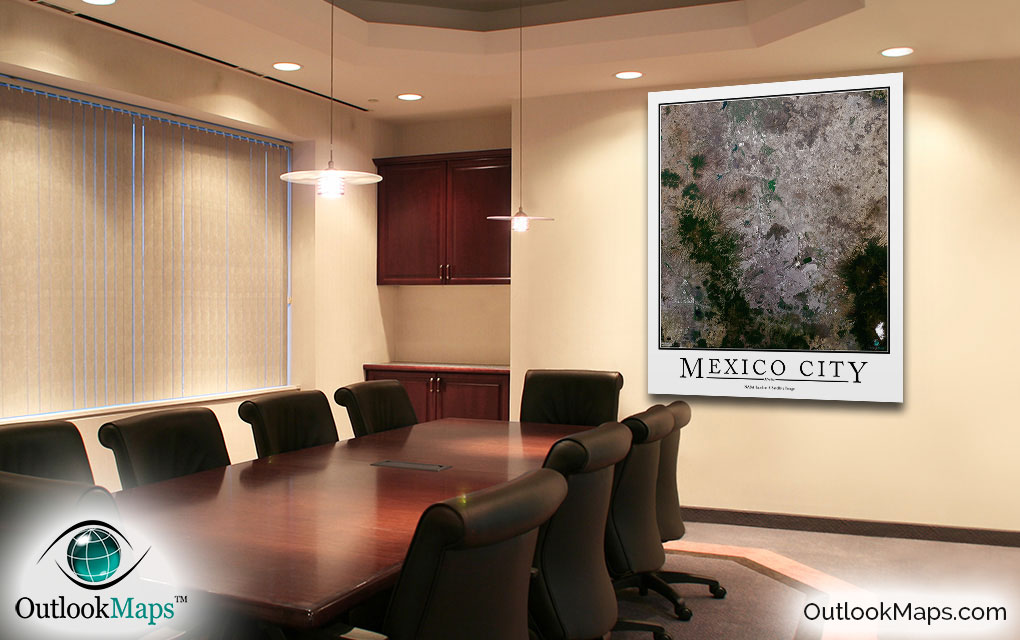
Mexico City Aerial Satellite Map Poster

An aerial view of Mexico City, Mexico taken by NASA satellites. The image is current, high-detailed, and makes a gorgeous poster for display.

Features

  • NASA Landsat 8 Image
  • Current Image
  • High Resolution: 1 pixel = 15 meters
  • Month of Image: April
  • Minimal to No Cloud Cover
  • No Text Labels
  • Either White or Black Background
  • Includes Entire Mexico City Area
  • Stylish Poster Layout - Looks great framed

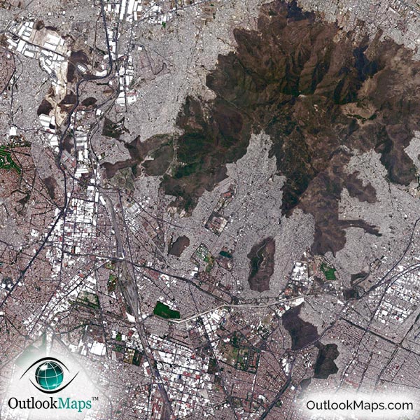
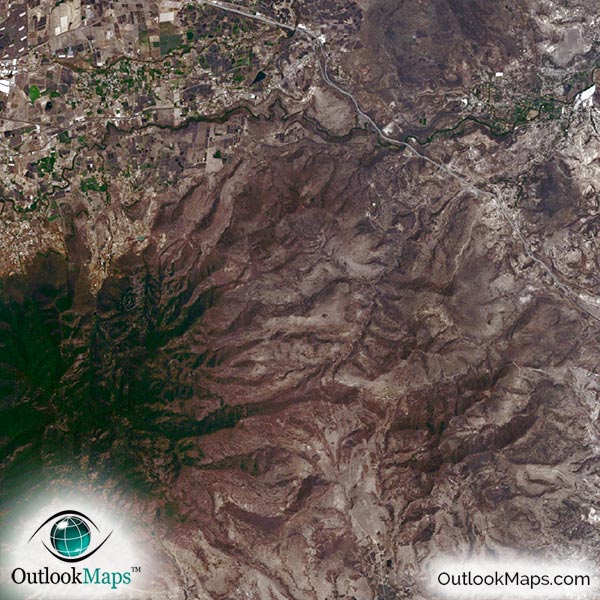
This satellite print of the Mexico City area does not include any additional text or line layers - it is a clean and uncluttered image of Mexico City as seen from space.

Product Information

Map Name:
Model Number:
MEXCY991
Product Image:
MEXCY991 - Mexico City Satellite Map
Map Type:
Wall Map (not folded)
Description:
High resolution print of Mexico City satellite Image. Poster can be laminated, mounted, and framed. Aerial image taken from NASA Landsat 8 satellites.
Publisher/Brand:
Outlook Maps
Price:
starting at $19
Availability:
In Stock

What's Visible in the Satellite Image?

Mexico City Aerial Map Detail

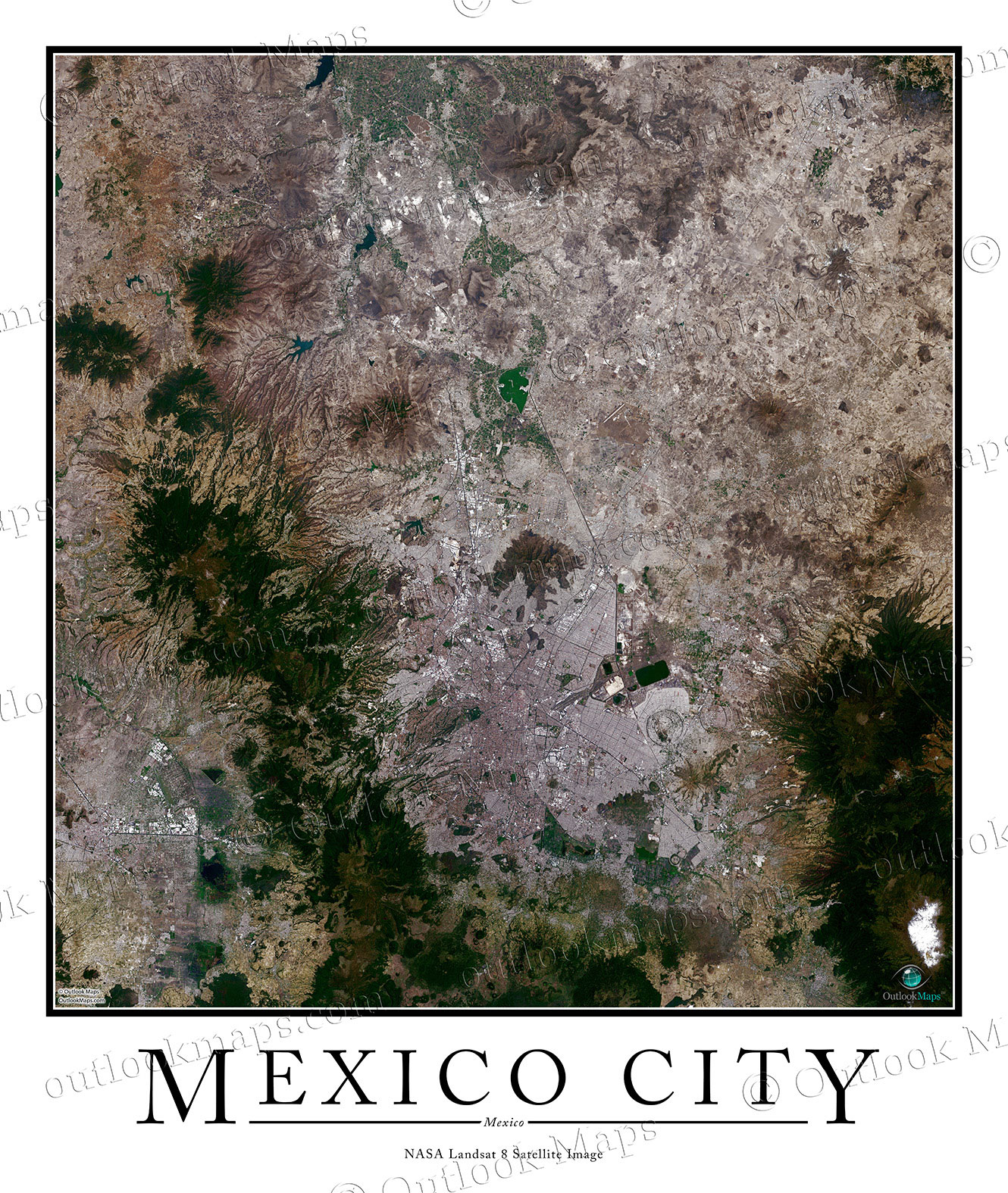
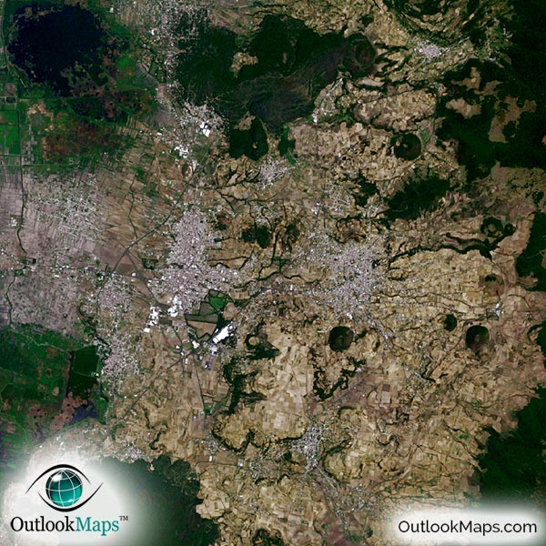
This satellite image includes the entire Mexico City Region. Neighboring cities such as Tlalpan, Ecatepec de Morelos, and Naucalpan de Juarez are also shown in the image.

The native resolution of the satellite imagery is 1 px = about 15 meters, which is detailed enough to see large buildings, parks, neighborhoods, major streets, golf courses, and many other features of the city.

Benito Juárez International Airport is one of the most prominent landmarks in the Mexico City image. Other smaller airports and runways may also be found.

Large buildings downtown and in the Federal District can also be seen.

Specific landmarks that you'll find include universities, museums, parks, and sports fields and stadiums, including Estadio Azteca.

The image also shows the natural beauty of the Mexico City - including nearby mountains and forested areas.

Satellite Map for Decoration

Mexico City Aerial Map as Home Decor

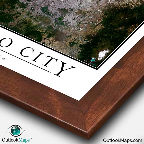
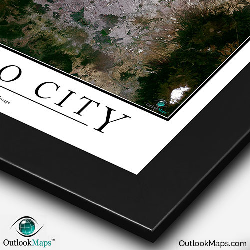
This Mexico City satellite map is styled with a classic poster appearance - a tasteful border around the map and the title ''MEXICO CITY'' printed at the bottom with traditional poster font. The print is available with either a white or black background.

The aerial image is detailed enough to look crisp and sharp even when printed at large sizes.

We also offer several framing options, making the map a perfect piece to display on your home, office, or business wall for both functional use and artistic decoration.

Purchase


product ordering options image
Large - 34.0 in. x 40.2 in. (standard)
$49
$69
$79
$149
$249
Small - 15.2 in. x 18.0 in.
$19
$25
$29
$49
$79
Medium - 23.9 in. x 28.4 in.
$29
$39
$49
$89
$149
Huge - 48.0 in. x 56.8 in.
$99
$129
$159
$649
$849
Mural - 60.0 in. x 71.1 in.
$199
$249
$279

Frame Options

Map Frame Styles: Canadian Walnut, Black Wood, Birch, Old World Silver, and Brushed Aluminum


Other City Maps

Aerial Image Satellite Map of Tijuana Poster
Tijuana Satellite Map

Starting at $19
All City Maps

Other Satellite Image Maps

Satellite Image Map of the World
World Satellite Map

Starting at $29
All Satellite Image Maps

Further Questions?

Don't worry, we're here to help!

>> contact us

Customer Reviews

>> Back to Top