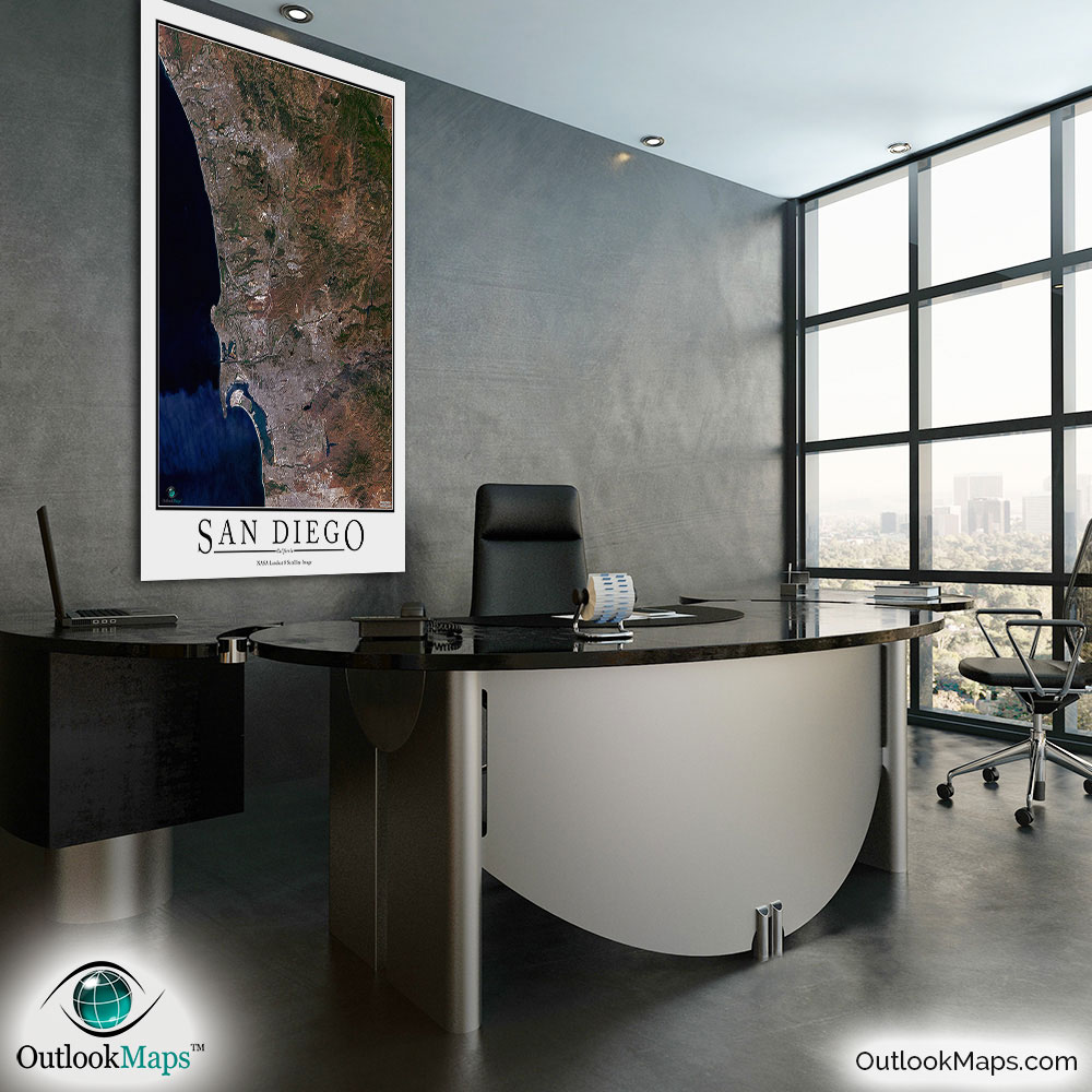
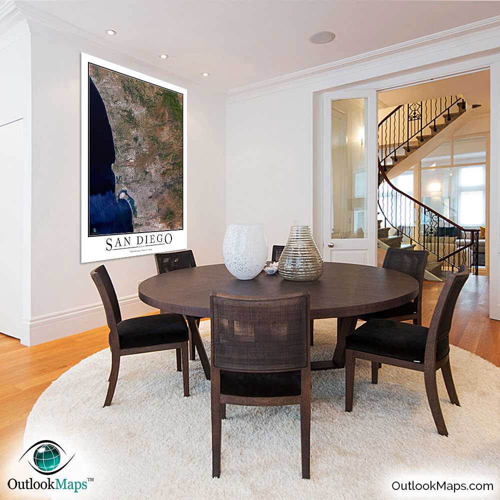
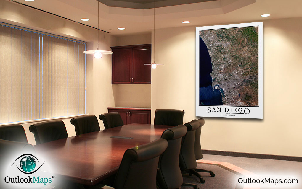
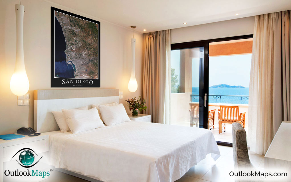
San Diego Aerial Satellite Map Poster


(Click images to see full-size)
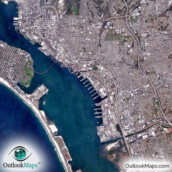
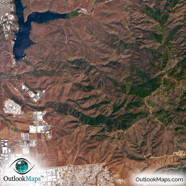
This satellite print of the San Diego area does not include any additional text or line layers - it is a clean and uncluttered image of San Diego as seen from space.
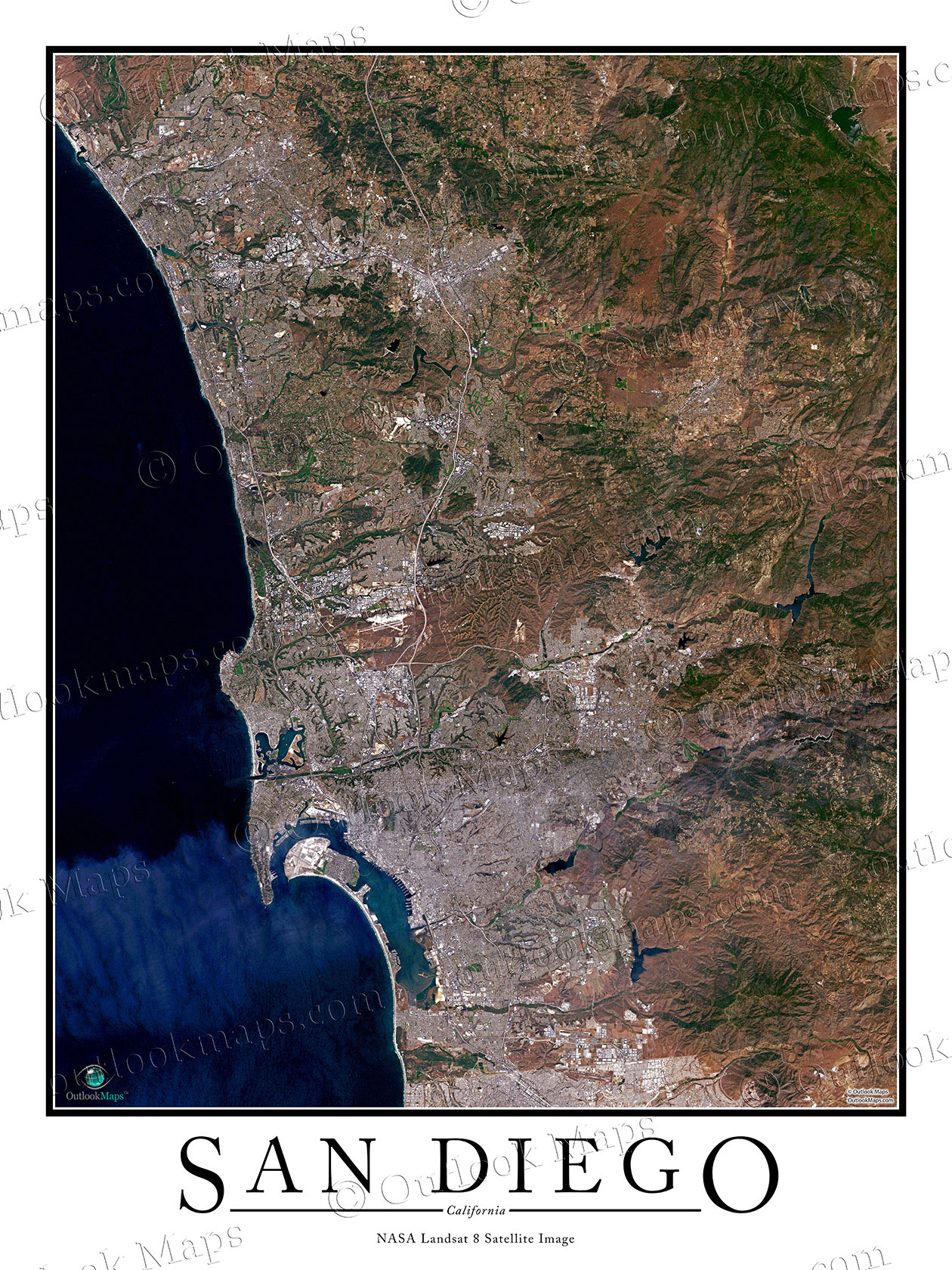
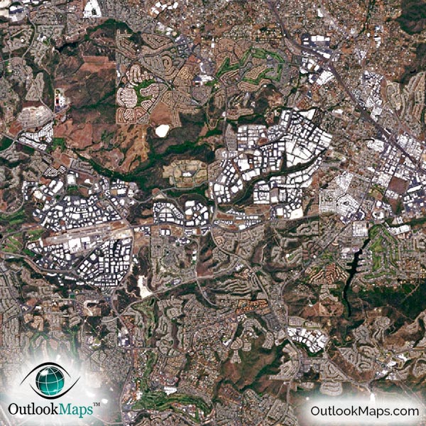
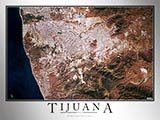
This aerial view image shows the greater San Diego area. Smaller cities such as Oceanside, Escondido, El Cajon, Encinitas, and Chula Vista are also shown. The Tijuana border is included, but the focus of the map is really the San Diego area, not Tijuana.
The native resolution of the satellite imagery is 1 px = about 15 meters, which is detailed enough to see large buildings, parks, neighborhoods, major streets, golf courses, and many other features of the city.
You'll find several airports and runways in the image, the most prominent being San Diego International Airport.
In downtown San Diego, you'll see many large skyscrapers, such as One America Plaza, Symphony Towers, Manchester Grand Hyatt Hotel, and Electra.
You'll also find specific landmarks and places within the map, like the San Diego Zoo, Sea World of California, North Island Naval Air Station, Marine Corp Air Station Miramar, USS Midway Museum, and sporting venues like Petco Park. You'll also find college campuses such as UC San Diego, San Diego State University, and the University of San Diego.
Natural features are also shown in the image, such as San Diego Bay, the San Diego River, and many other lakes and rivers. The terrain around San Diego is mostly rugged and brown, and the Pacific ocean is a deep blue.
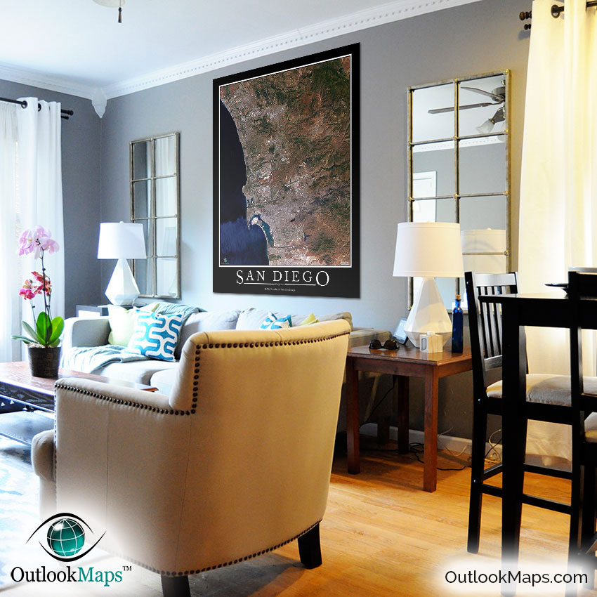
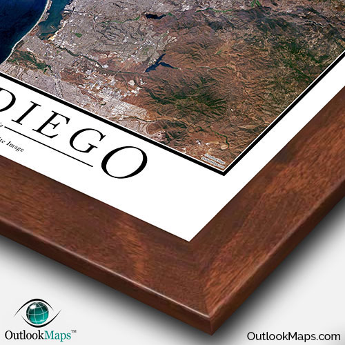
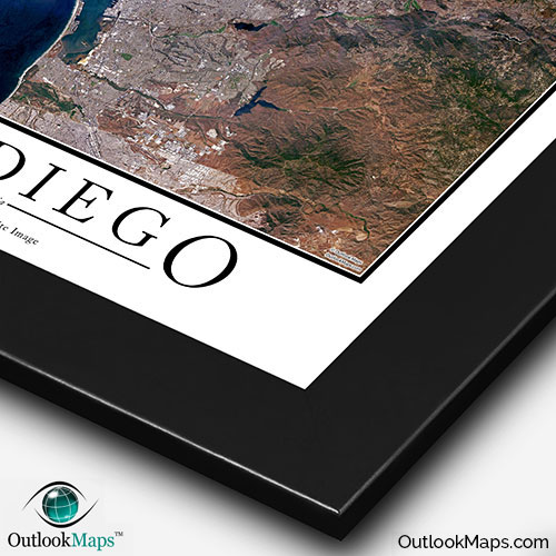
This San Diego Area satellite map is styled with a classic poster appearance - a tasteful border around the map and the title ''SAN DIEGO'' printed at the bottom with traditional poster font. The print is available with either a white or black background.
The aerial image is detailed enough to look crisp and sharp even when printed at large sizes.
We also offer several framing options, making the map a perfect piece to display on your home, office, or business wall for both functional use and artistic decoration.