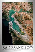
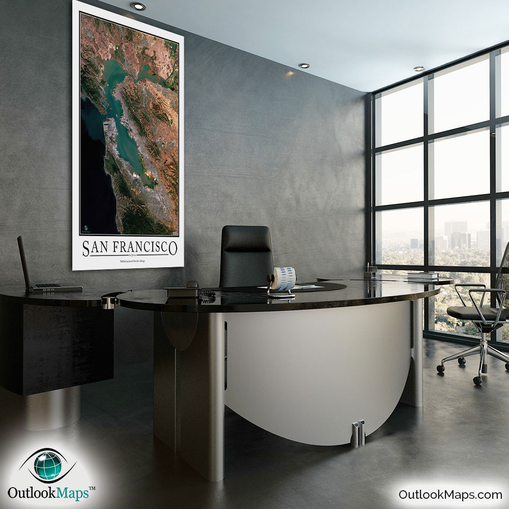
San Francisco Aerial Satellite Map Poster


(Click images to see full-size)
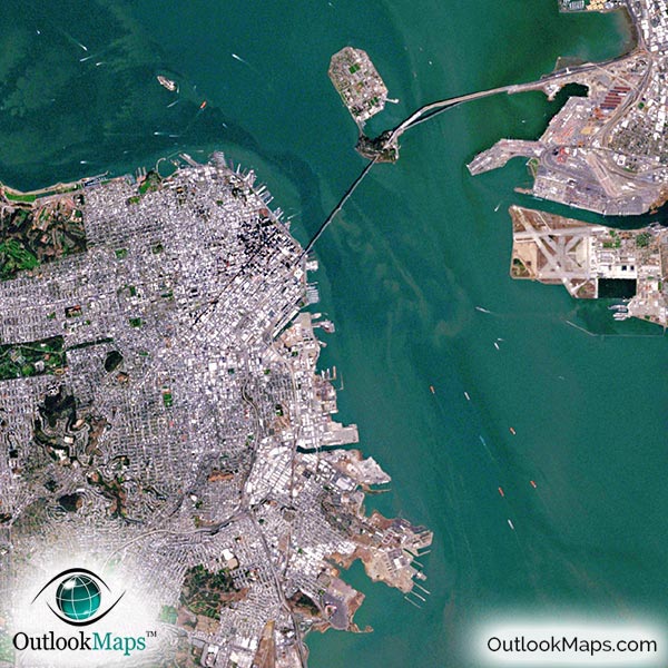
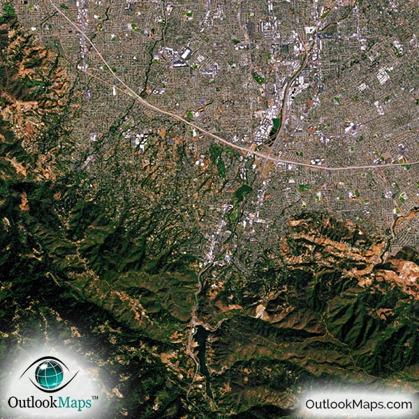
This satellite print of the San Francisco area does not include any additional text or line layers - it is a clean and uncluttered image of San Francisco as seen from space.
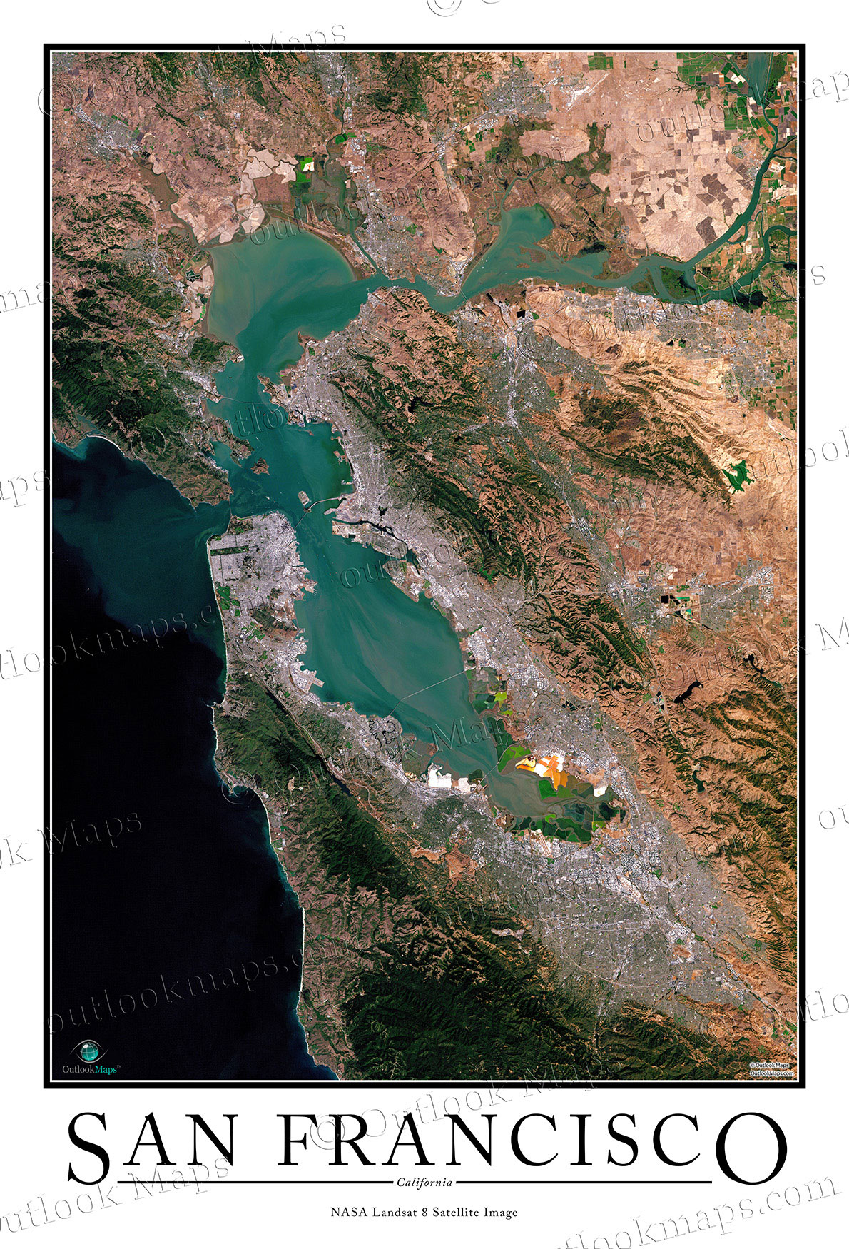
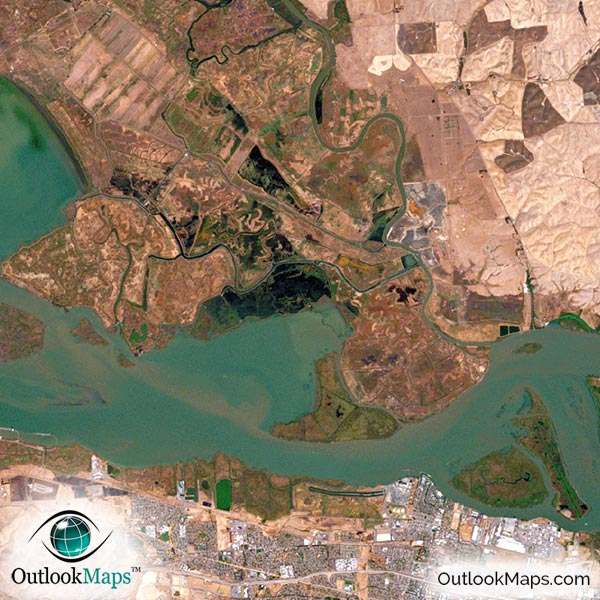
This satellite map of San Francisco includes the entire bay area, including cities like Berkeley, San Jose, Oakland, Santa Clara, Vallejo, and others. The map is also available with the title "San Francisco Bay Area".
The native resolution of the satellite imagery is 1 px = about 15 meters, which is detailed enough to see large buildings, parks, neighborhoods, major streets, golf courses, and many other features of the city.
Several airports are visible in the map. The most prominent airports are San Francisco International Airport, Oakland International Airport, and Norman Y. Mineta San José International Airport, but you'll also find smaller airports and runways throughout the bay area.
In downtown San Francisco, you'll find a cluster of skyscrapers, including famous buildings such as Transamerica Pyramid, Millennium Tower, 555 California Street, and 345 California Center.
You can also find many of San Francisco's iconic landmarks in the aerial map, such as the Golden Gate Bridge, Alcatraz Island, Fisherman's Wharf, Golden Gate Park, Pier 39 and others. You can also find sporting arenas and stadiums like AT&T Park, Candlestick Park, and others. San Francisco Area university campuses are also visible, including Cal Berkeley, Stanford, San Jose State, and others.
The natural beauty of the Bay Area is really clear in the image. The Pacific Ocean is a very dark blue, almost black, and neighboring natural lands are both dark green and shades of brown. The fertile areas around the bay and where the Sacramento and San Joaquin Rivers join is also very pronounced.
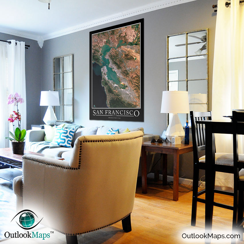
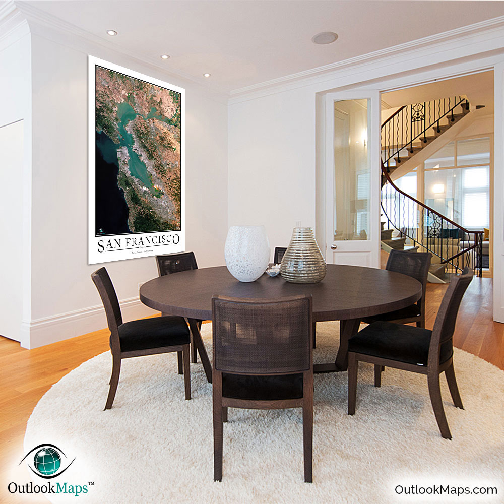
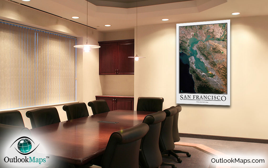
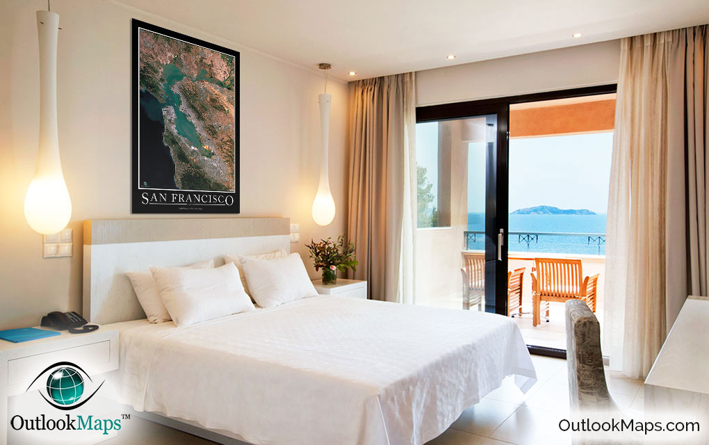
This San Francisco satellite map is styled with a classic poster appearance - a tasteful border around the map and the title ''SAN FRANCISCO'' printed at the bottom with traditional poster font. The print is available with either a white or black background.
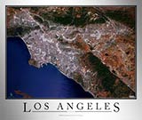
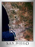
The aerial image is detailed enough to look crisp and sharp even when printed at large sizes.
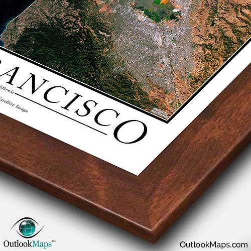
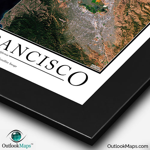
We also offer several framing options, making the map a perfect piece to display on your home, office, or business wall for both functional use and artistic decoration.