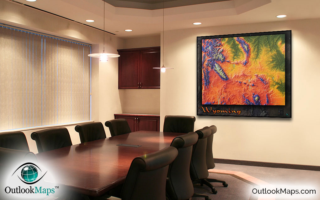
Wyoming Topographical Features State Wall Map


(Click images to see full-size)
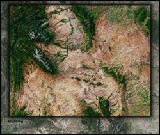
Note: The focus of this map is Wyoming's physical terrain. To maintain the artistic appearance, text labels are minimal.

Wyoming's green areas are shown with the color green. This includes the land primarily in the north and eastern parts of Wyoming.
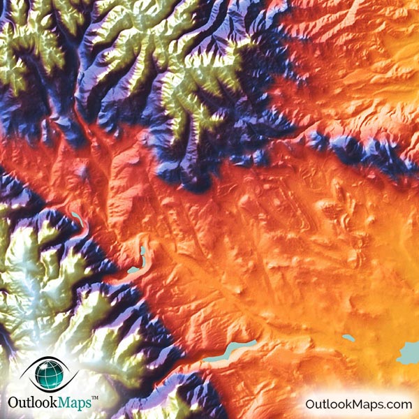
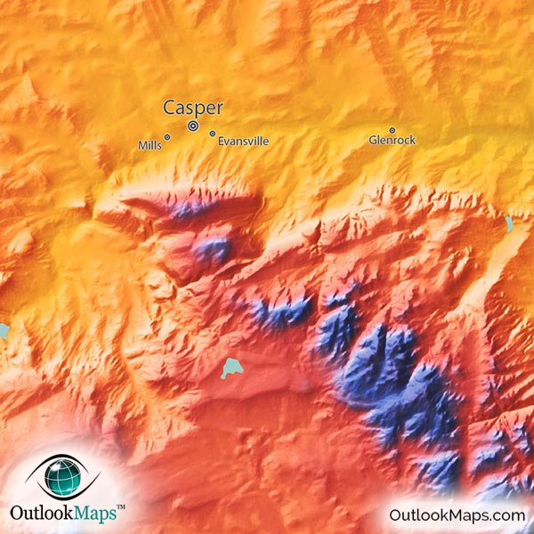
Mid level elevation is colored with warm colors of yellow, orange and red. Most of Wyoming's land falls in this range, but mainly central Wyoming, southern Wyoming, and much of western Wyoming. Most of Wyoming's largest towns and cities lie in this mid-level elevation range: Cheyenne, Laramie, Casper, Gillette, and Rock Springs.
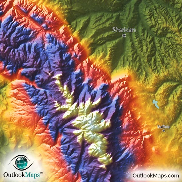
High elevation is colored with blue and purple, and the highest mountains are colored white. There are several areas of high elevation mountains in Wyoming, but mostly in the northwest corner, which includes Yellowstone, the Grand Tetons, the Absaroka Range, and the Wind River Range, which contains Wyoming's highest peak, Gannett Peak. The peak elevation of Gannett Peak is 13,809 feet or 4209 m.
Learn how this Wyoming topographic image was created with digital elevation data.
Wyoming contains mountain ranges in nearly every part of the state, and those ranges are all visible in this physical map. Specific ranges within the Rockies that can be seen are: Wind River Range, Bighorn Mountains, Laramie Mountains, Medicine Bow Mountains, Granite Mountains, Wyoming Range, Absaroka Range, and the Grand Tetons.
Yellowstone, in the northwest corner of Wyoming, also contains many interesting landforms which can be seen in the map.
The map also shows Wyoming's lakes and reservoirs, including Flaming Gorge Reservoir, Seminoe Reservoir, Pathfinder Reservoir, Boysen Reservoir, Yellowstone Lake, and Jackson Lake, among many others.
River valleys from the Powder River, Bighorn River, North Platte River, and Cheyenne River are also easy to see.
34 Wyoming cities and towns are labeled.
All major cities like Cheyenne, Casper, Laramie, Gillette, Sheridan, and Green River are shown.
Some of the labeled medium and smaller towns include Riverton, Cody, Torrington, Buffalo, Thermopolis, Lusk, Ranchettes, Mills, Lovell, and many others.

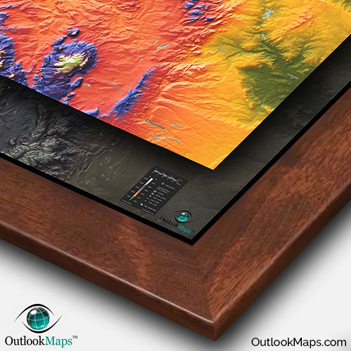
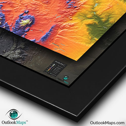
While this Wyoming topographic map provides a useful reference of Wyoming's terrain and geography, the striking colors and depth of the map make it as much a piece of art as a reference map.
Sure to look spectacular on any wall, this Wyoming map will liven up any room - be it in your home, office, classroom, business, or anywhere else to celebrate the gorgeous Wyoming natural beauty.