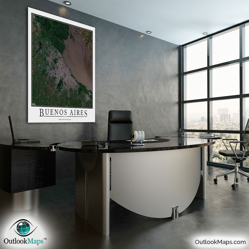
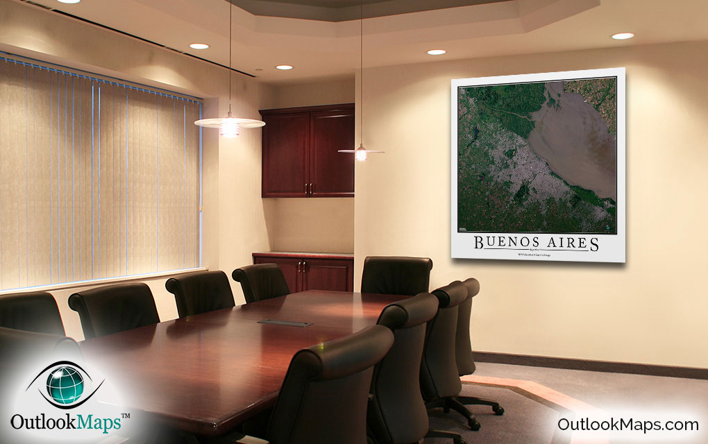
Buenos Aires Aerial Satellite Map Poster


(Click images to see full-size)
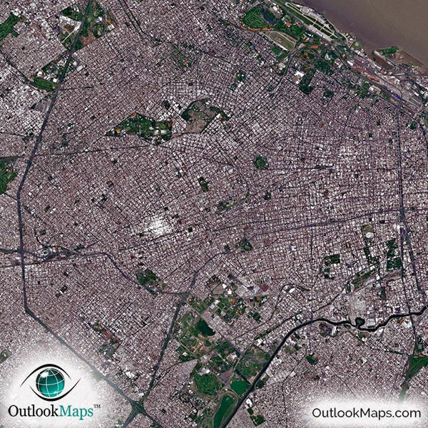
This satellite print of the Buenos Aires area does not include any additional text or line layers - it is a clean and uncluttered image of Buenos Aires as seen from space.
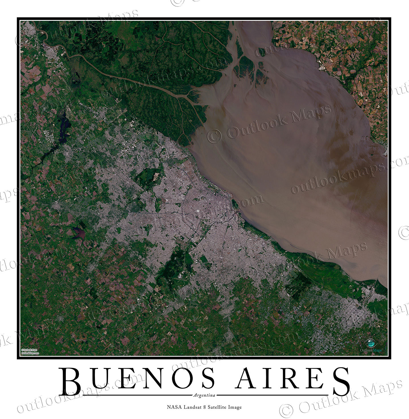
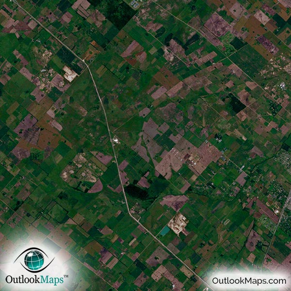
This aerial satellite map includes the entire Buenos Aires area. Neighboring suburbs and regions including La Plata, Quilmes, Lomas de Zamora, San Justo, Moron, San Miguel, Campana, Zarate, Moreno and more are shown in the image.
The native resolution of the satellite imagery is 1 px = about 15 meters, which is detailed enough to see large buildings, parks, neighborhoods, major streets, golf courses, and many other features of the city.
Several airports and military bases can be clearly seen in the image. The two largest airports are Ministro Pistarini International Airport and Aeroparque Jorge Newbery.
Downtown Buenos Aires is also easy to locate. Large buildings and skyscrapers, such as Renoir Tower, El Faro Towers, and the Mulieris Towers can be identified individually.
Specific landmarks such as the Teatro Colon, Plaza de Mayo, La Boca, and more can be seen. Argentina's largest stadium, Estadio Monumental Antonio Vespucio Liberti, can also be seen.
The map also shows Buenos Aires' natural beauty. The city lies on the coast of the Rio de La Plata, an inlet in the Atlantic Ocean. Rivers such as the Uruguay and the Parana de las Palamas can be seen emptying into the sea.

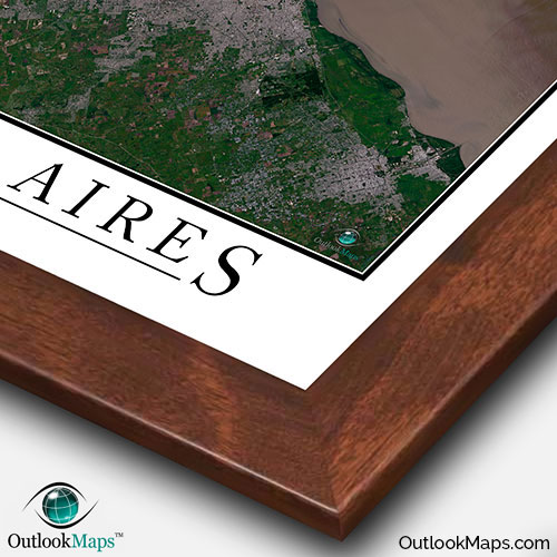
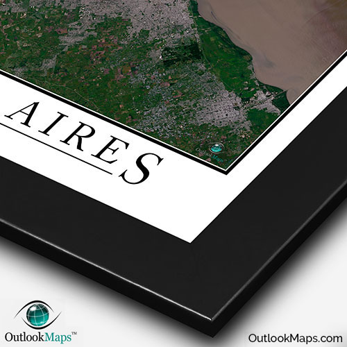
This Buenos Aires satellite map is styled with a classic poster appearance - a tasteful border around the map and the title ''BUENOS AIRES'' printed at the bottom with traditional poster font. The print is available with either a white or black background.
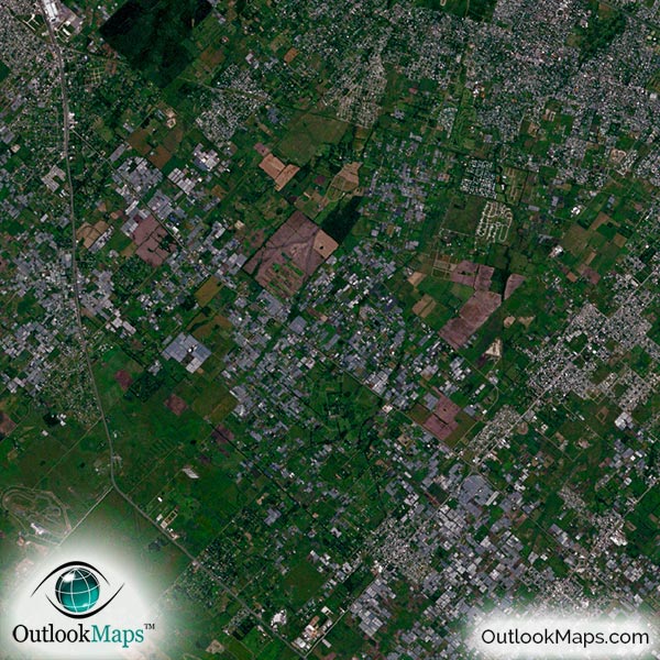
The aerial image is detailed enough to look crisp and sharp even when printed at large sizes.
We also offer several framing options, making the map a perfect piece to display on your home, office, or business wall for both functional use and artistic decoration.