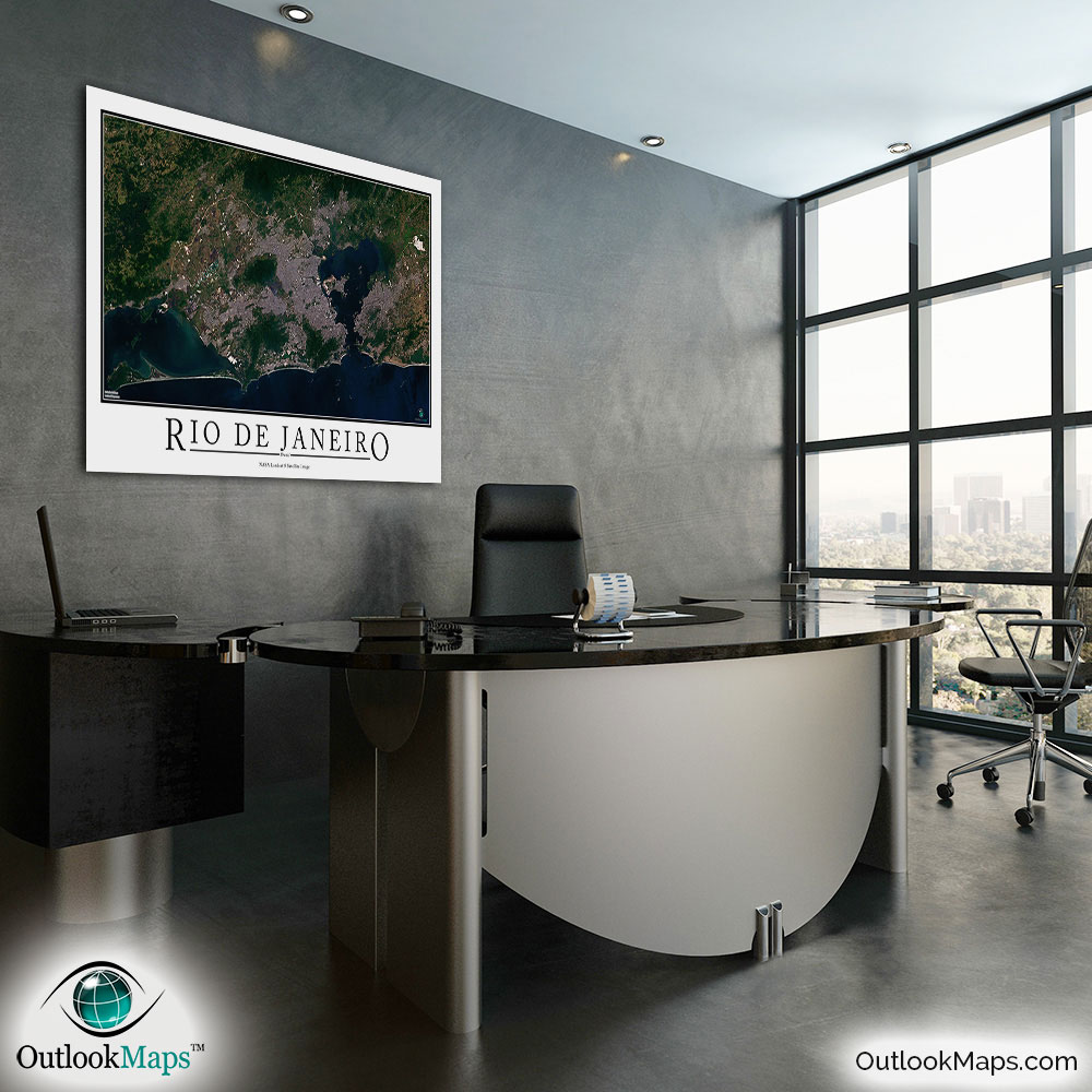
Rio de Janeiro Aerial Satellite Map Poster


(Click images to see full-size)
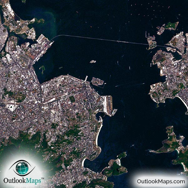
This satellite print of the Rio de Janeiro area does not include any additional text or line layers - it is a clean and uncluttered image of Rio de Janeiro as seen from space.
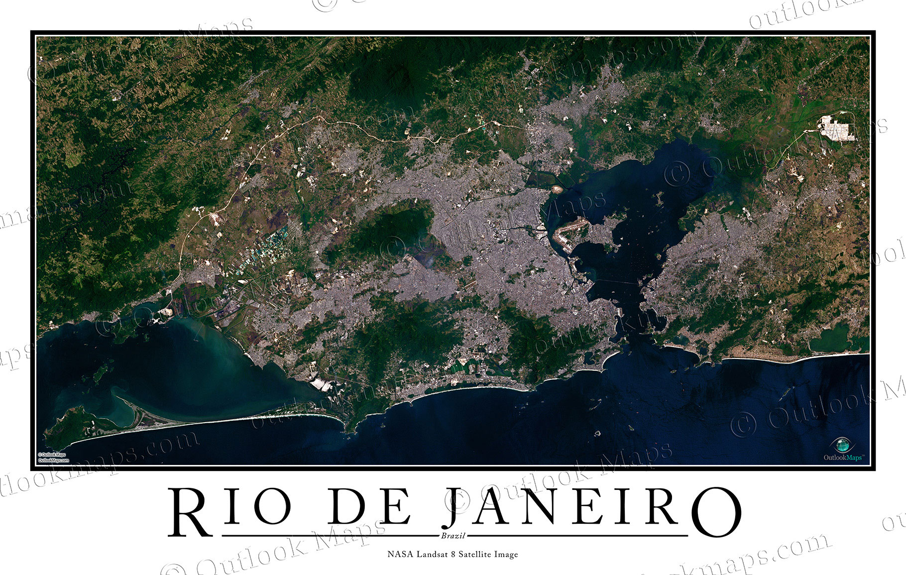
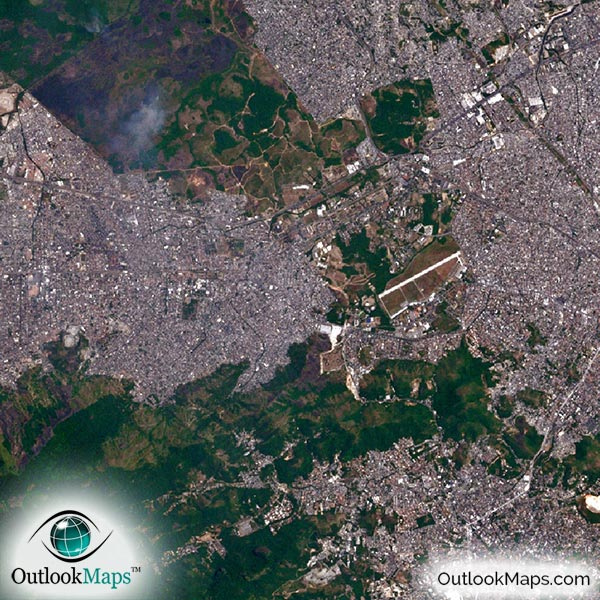
This aerial map of Rio de Janeiro includes the entire populated area. Smaller cities and suburbs like Nova Igaucu, Duque de Caxias, Itaguai, Mage, Niteroi, and Sao Goncalo are also shown.
The native resolution of the satellite imagery is 1 px = about 15 meters, which is detailed enough to see large buildings, parks, neighborhoods, major streets, golf courses, and many other features of the city.
You'll be able to find several airports, including Rio de Janeiro Galeão International Airport, Santos Dumont Airport, and several smaller airports and runways in the region.
The map is just detailed enough to make out very large buildings and skyscrapers, like the Rio Sul Center, the tallest building in Rio.
You can also find other large buildings and landmarks like the cliff of Christ the Redeemer (Cristo Redentor) and the soccer stadium, Estadio do Maracana.
The satellite image also shows the natural elements around Rio, like the Atlantic Ocean, Guanabara Bay, Lagoa da Tijuca, Tijuca National Park, and several other mountain ranges and rivers.
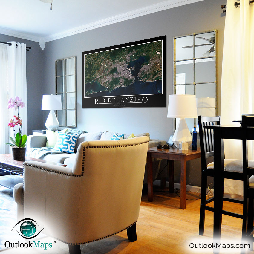
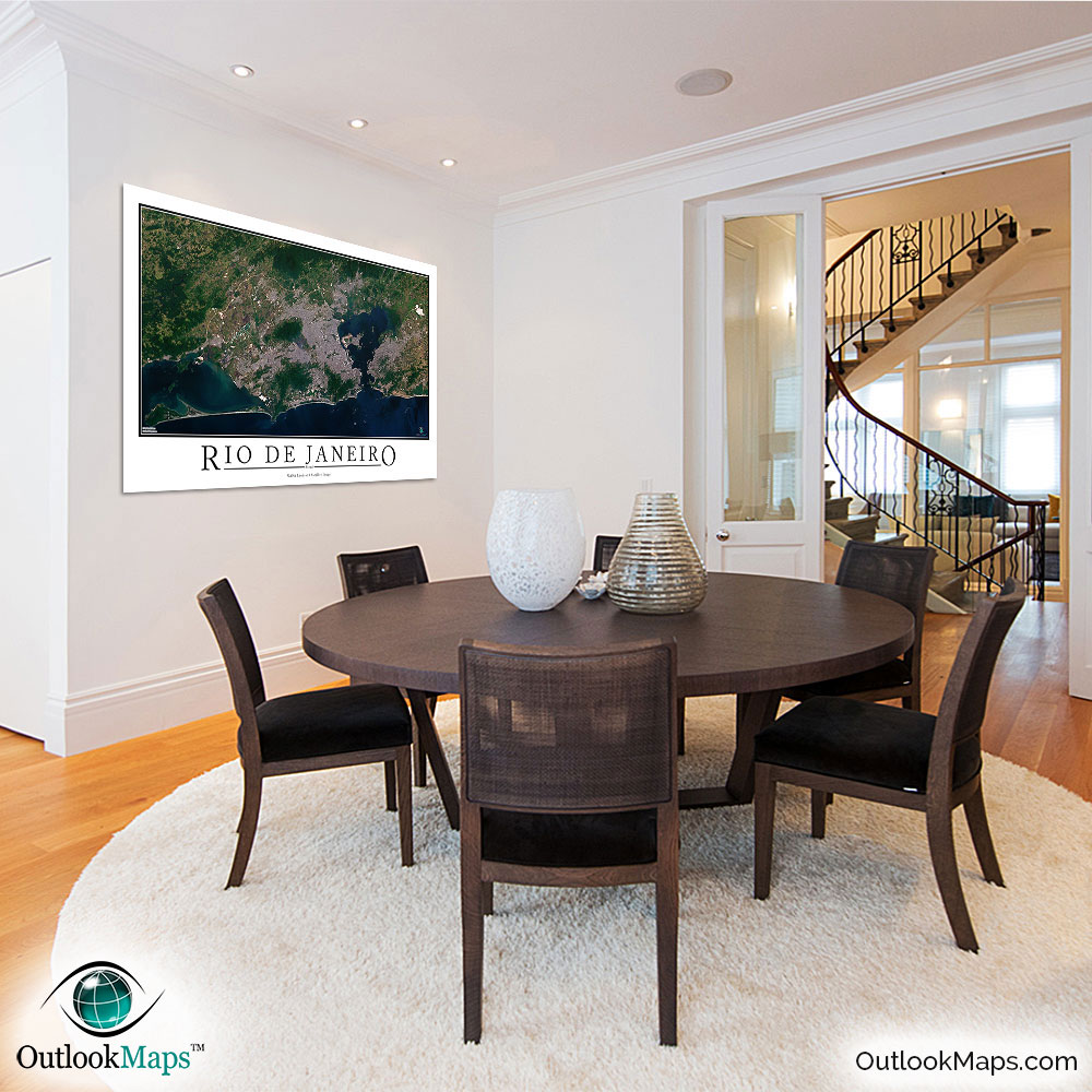
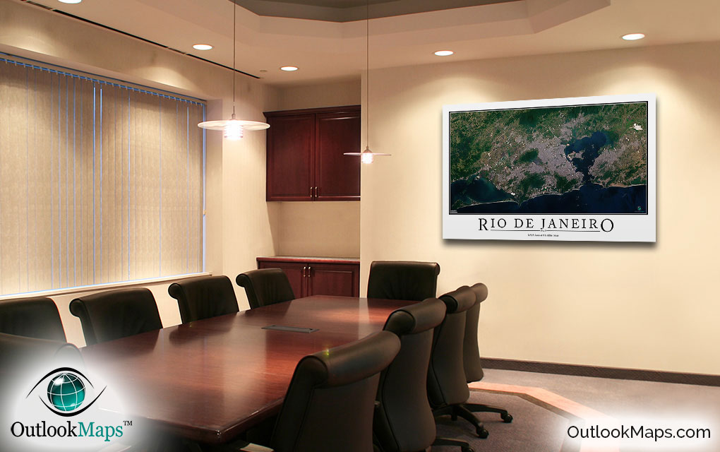
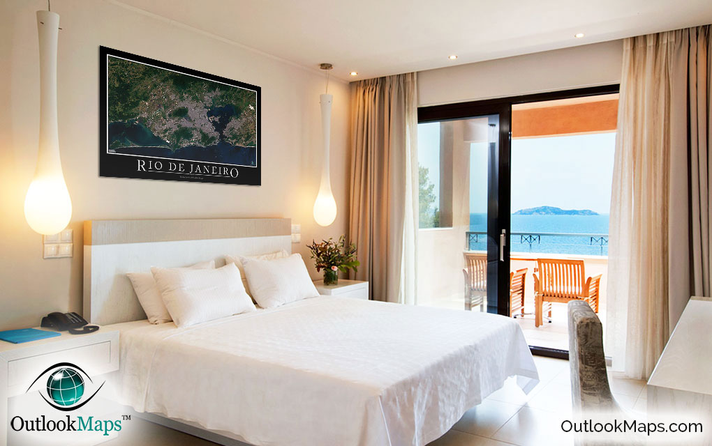
This Rio de Janeiro satellite map is styled with a classic poster appearance - a tasteful border around the map and the title ''RIO DE JANEIRO'' printed at the bottom with traditional poster font. The print is available with either a white or black background.
The aerial image is detailed enough to look crisp and sharp even when printed at large sizes.
We also offer several framing options, making the map a perfect piece to display on your home, office, or business wall for both functional use and artistic decoration.